The best walks and hikes around Sahorre
4.5
(1940)
10,573
hikers
16
hikes
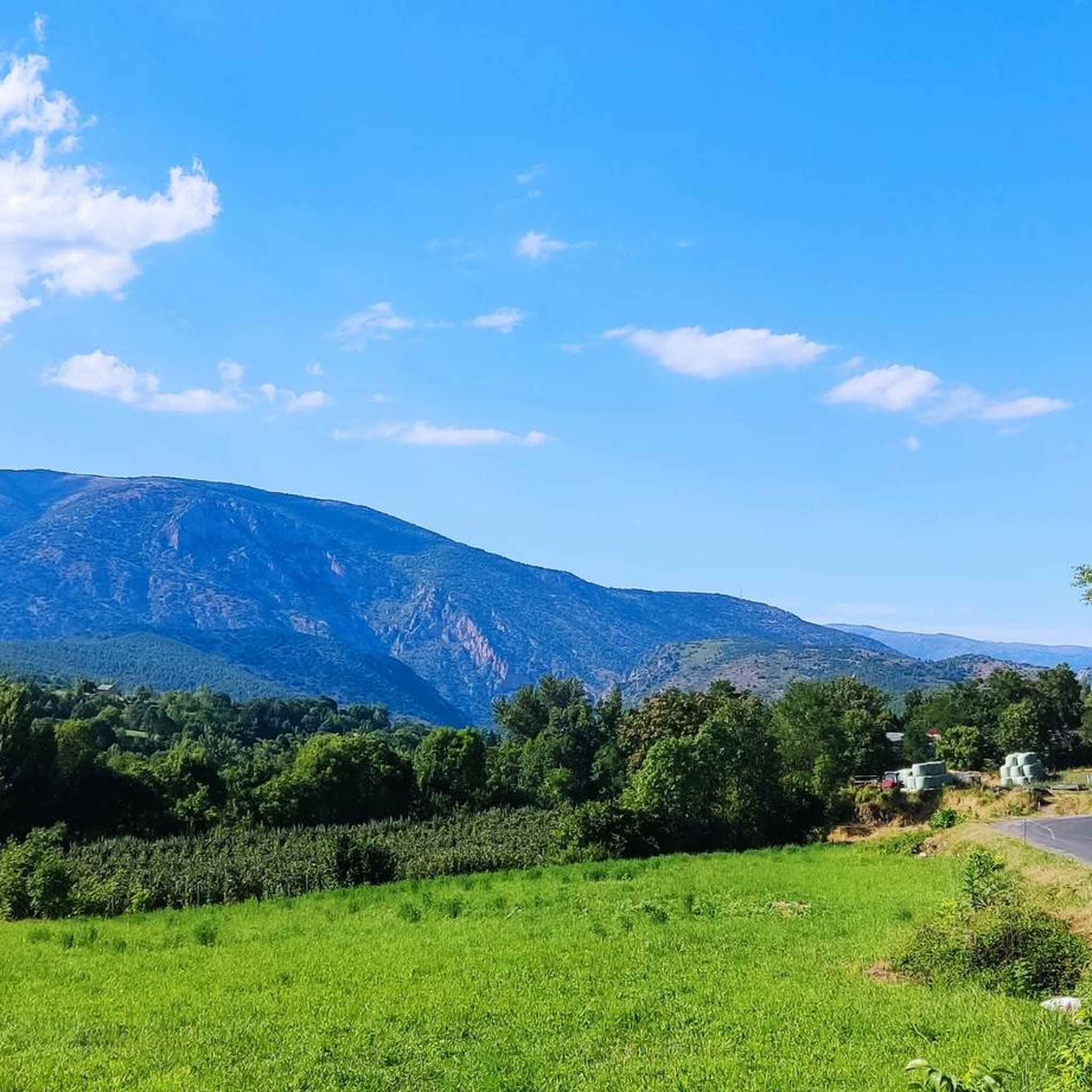
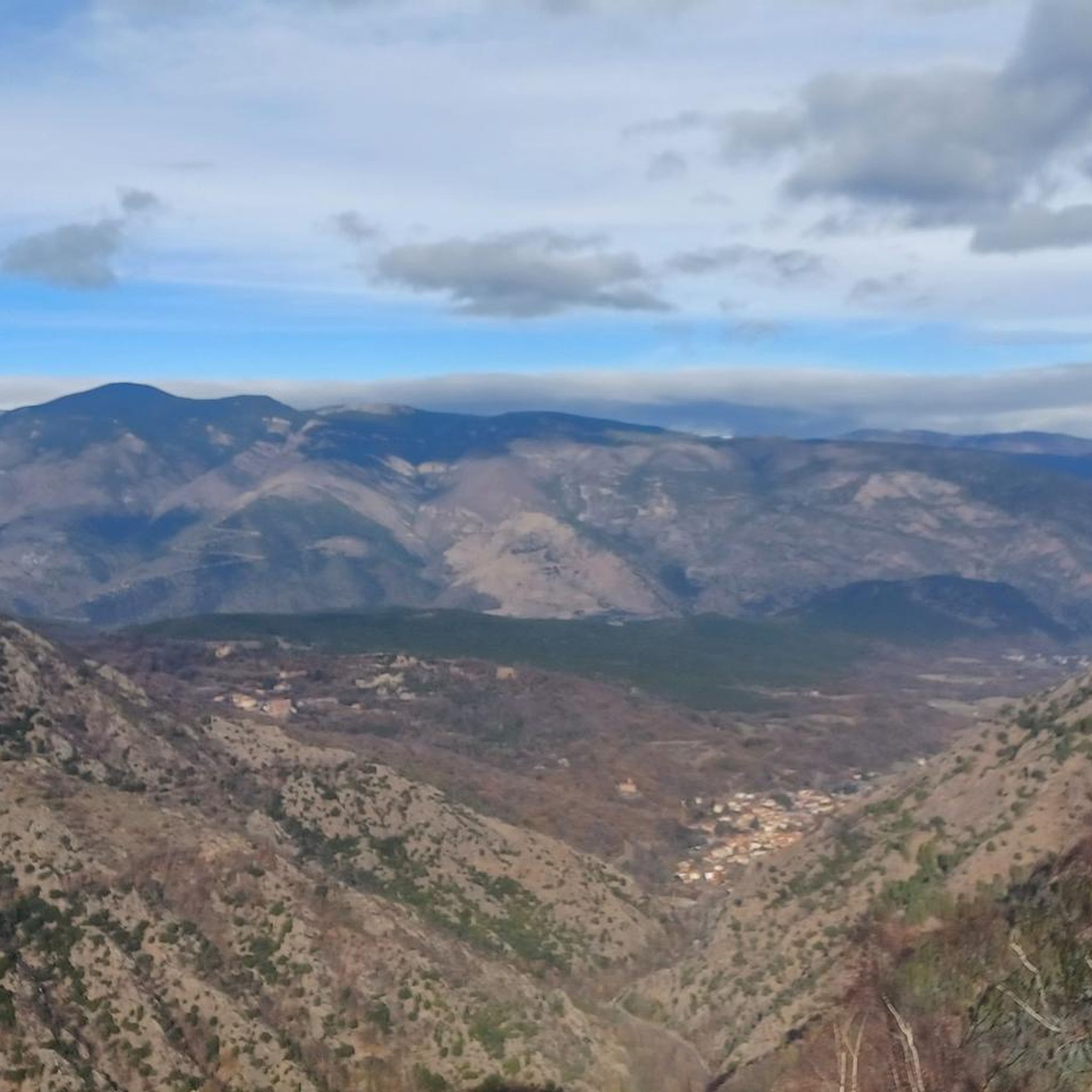
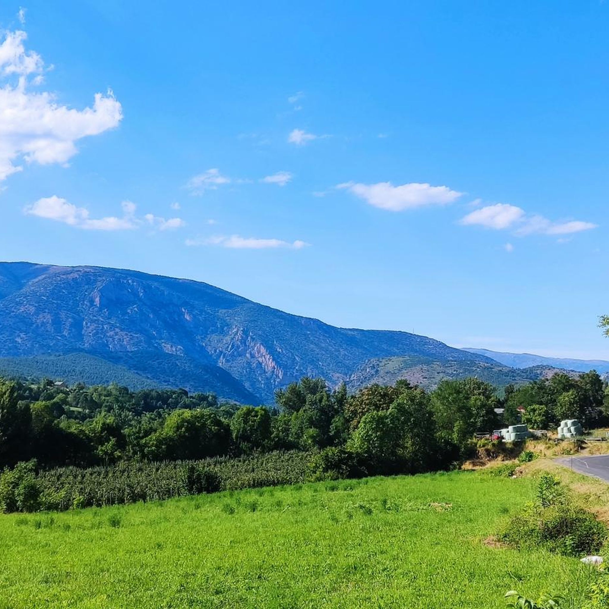
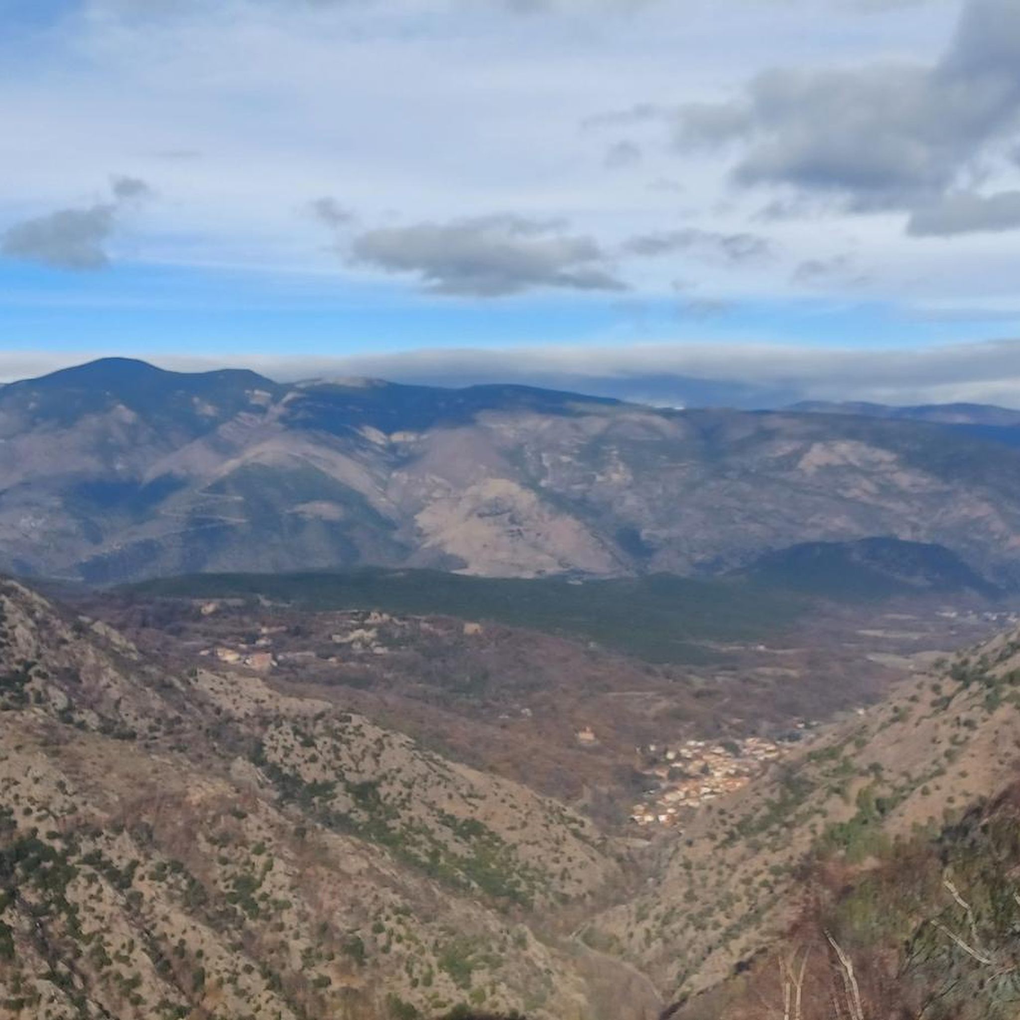
Hiking around Sahorre offers diverse landscapes within the Pyrénées-Orientales department of France. The region is characterized by the majestic Pyrenees mountain range, featuring lush valleys, rocky mountainous terrain, and deep canyons. Notable natural features include the expansive Pla Guillem plateau and the picturesque Rotjà Valley, which provides views of Canigó. Sahorre is also situated near the spectacular Gorges de Carança, known for its narrow trails and hanging bridges.
Best hiking trails around Sahorre
- The most popular hiking route is Jou…
Last updated: September 28, 2026
4.8
(6)
55
hikers
2.33km
00:48
130m
130m
Easy hike. Great for any fitness level. Easily-accessible paths. Suitable for all skill levels.
5.0
(2)
19
hikers
13.4km
04:54
710m
720m
Moderate hike. Good fitness required. Mostly accessible paths. Sure-footedness required.

4.7
(3)
14
hikers
8.92km
03:04
480m
480m
Moderate hike. Good fitness required. Easily-accessible paths. Suitable for all skill levels.
4.3
(3)
13
hikers
6.41km
01:59
210m
210m
Easy hike. Great for any fitness level. Easily-accessible paths. Suitable for all skill levels.
14
hikers
3.77km
01:33
310m
310m
Moderate hike. Good fitness required. Easily-accessible paths. Suitable for all skill levels.
Get access to more routes and recommendations from other explorers.
Already have an account?
Our route recommendations are based on thousands of hikes, rides, and runs completed by other people on komoot.
Start today with a free account
Your next adventure awaits.

Tips from the Community


Nestled in the heart of the Canigou Massif (Catalan: Canigó), the Mariailles mountain refuge is a place of conviviality and community. Surrounded by nature and beautiful landscapes, you'll find a change of scenery, seclusion, comfort, peace, and tranquility. Stunning views and tranquility.
10
0
A truly magnificent view, just past the refuge. The horse stayed put for a moment for the photo 😀 .
13
0
Refuge situated in a beautiful spot.
10
0
The Col de Jou from Villefranche de Conflent is a climb in the French Pyrenees. This climb is 11.4 kilometers long and has a positive elevation gain of 687 meters. The Col de Jou from Villefranche de Conflent has an average gradient of 6%.
15
0

The Col de Jou peaks at an altitude of 1,125 meters. It is a well-known rallying point for local hikers. Indeed, the GR 10 passes through there, and it is the starting point for many hikes including the one that connects Canigou peak.
1
0

The Mariailles refuge is nestled at an altitude of 1,744 metres in the Canigou massif. Authentic and friendly, it has 53 beds. Its special location offers magnificent panoramas.
1
0
Frequently Asked Questions
How many hiking trails are available around Sahorre?
There are over 15 hiking trails around Sahorre, catering to various skill levels. You'll find options ranging from easy strolls to challenging multi-day treks through the Pyrenees.
Are there any easy or family-friendly hiking routes in Sahorre?
Yes, Sahorre offers several easy and family-friendly options. The Jou Pass – Goa Tower loop from Col de Jou is an easy 1.4-mile trail, perfect for accessible views. Additionally, the "Sentier de Falguerosa" within Sahorre itself is a local, accessible family-friendly option with views of the Canigó massif. The Rotjà Valley also provides shaded, family-friendly walks.
What are some notable natural features or landmarks to see while hiking near Sahorre?
The region is rich in natural beauty. You can explore the vast Pla Guillem plateau, which resembles Scottish moors, or enjoy views of the iconic Canigou peak. The spectacular Gorges de Carança, with its narrow trails and hanging bridges, is a significant highlight. You might also encounter various mountain passes like Jou Pass.
Are there any circular hiking routes around Sahorre?
Yes, several circular routes are available. For example, the Col de Jou – Jou Pass loop from Col de Jou is a moderate 2.4-mile circular path. For a more challenging option, consider the Jou Pass – Mariailles Refuge loop from Py, which is a longer, difficult trail.
What is the best time of year to go hiking in Sahorre?
The best time for hiking in Sahorre is generally from spring through autumn, when the weather is most favorable. Summer offers warm conditions, while spring and autumn provide milder temperatures and vibrant landscapes. Winter hiking is possible but requires appropriate gear and experience due to snow and colder conditions in higher elevations.
Can I bring my dog on the hiking trails in Sahorre?
Many trails in the Pyrénées-Orientales department are dog-friendly, but it's always best to check specific regulations for each route or protected area. Generally, dogs should be kept on a leash, especially in areas with livestock or wildlife, and owners are expected to clean up after their pets. There are no specific restrictions mentioned for the immediate Sahorre area, but always exercise caution and respect local guidelines.
Are there any trails that offer significant elevation changes for a more challenging hike?
Absolutely. Sahorre is situated in the Pyrenees, offering routes with substantial elevation gains. Trails like the Mariailles Refuge – Jou Pass loop from Col de Jou involve over 1000 meters of ascent and descent, providing a demanding experience for well-prepared hikers.
What do other hikers say about the trails around Sahorre?
The hiking trails around Sahorre are highly regarded by the komoot community, holding an average rating of 4.5 stars from over 1800 reviews. Hikers often praise the diverse landscapes, from lush valleys to rocky mountain terrain, and the dramatic natural features like the Gorges de Carança. The well-maintained paths and stunning views of the Pyrenees are frequently highlighted.
Are there any public transport options to reach hiking trailheads near Sahorre?
While specific public transport directly to all trailheads might be limited, the scenic "Yellow Train" (Train Jaune) can take you to Thuès-entre-Vals, which is the access point for the spectacular Gorges de Carança. For other trailheads, personal vehicle or local taxi services might be necessary.
Where can I find parking for hiking trails in Sahorre?
Parking is generally available at common starting points for popular trails, such as Col de Jou. For specific routes, it's advisable to check the route details on komoot, as parking information is often included. Always park responsibly and respect local signage.
Are there any cafes or pubs near the hiking routes in Sahorre?
Sahorre itself is a small village, and while it may have local amenities, options for cafes or pubs directly on or at the immediate start/end of remote hiking routes might be limited. It's recommended to plan for refreshments in Sahorre village before or after your hike, or to carry your own provisions, especially for longer trails.
Most popular attractions around Sahorre

Get inspired with the komoot mobile app


Explore more
Browse the best Hikes in other regions.
