The best road cycling routes around Wailly-Beaucamp
4.3
(109)
3,221
riders
208
rides
Road cycling routes around Wailly-Beaucamp feature a landscape with varied altitudes, ranging from 18 to 68 meters, offering gentle undulations suitable for road cyclists. The region is characterized by rural charm, wooded areas such as Mouflet, l'Église, and Quesnoy, and numerous Picard farms. Its location provides access to the wider Opal Coast, including coastal towns and the Bay of Authie, as well as historical sites like Montreuil-sur-Mer and Valloires Abbey.
Best road cycling routes around Wailly-Beaucamp
- The most popular road…
Last updated: June 29, 2026
4.4
(13)
272
riders
Moderate road ride. Good fitness required. Mostly well-paved surfaces and easy to ride.
4.5
(8)
195
riders
74.4km
03:12
110m
110m
Moderate road ride. Good fitness required. Mostly well-paved surfaces and easy to ride.

Sign up for free
5.0
(1)
121
riders
Moderate road ride. Good fitness required. Mostly well-paved surfaces and easy to ride.
4.0
(3)
181
riders
Moderate road ride. Good fitness required. Mostly well-paved surfaces and easy to ride.
4.4
(11)
33
riders
Moderate road ride. Good fitness required. Mostly well-paved surfaces and easy to ride.
Get access to more routes and recommendations from other explorers.
Sign up for free
Already have an account?
Our route recommendations are based on thousands of hikes, rides, and runs completed by other people on komoot.
Start today with a free account
Your next adventure awaits.
Login or Signup
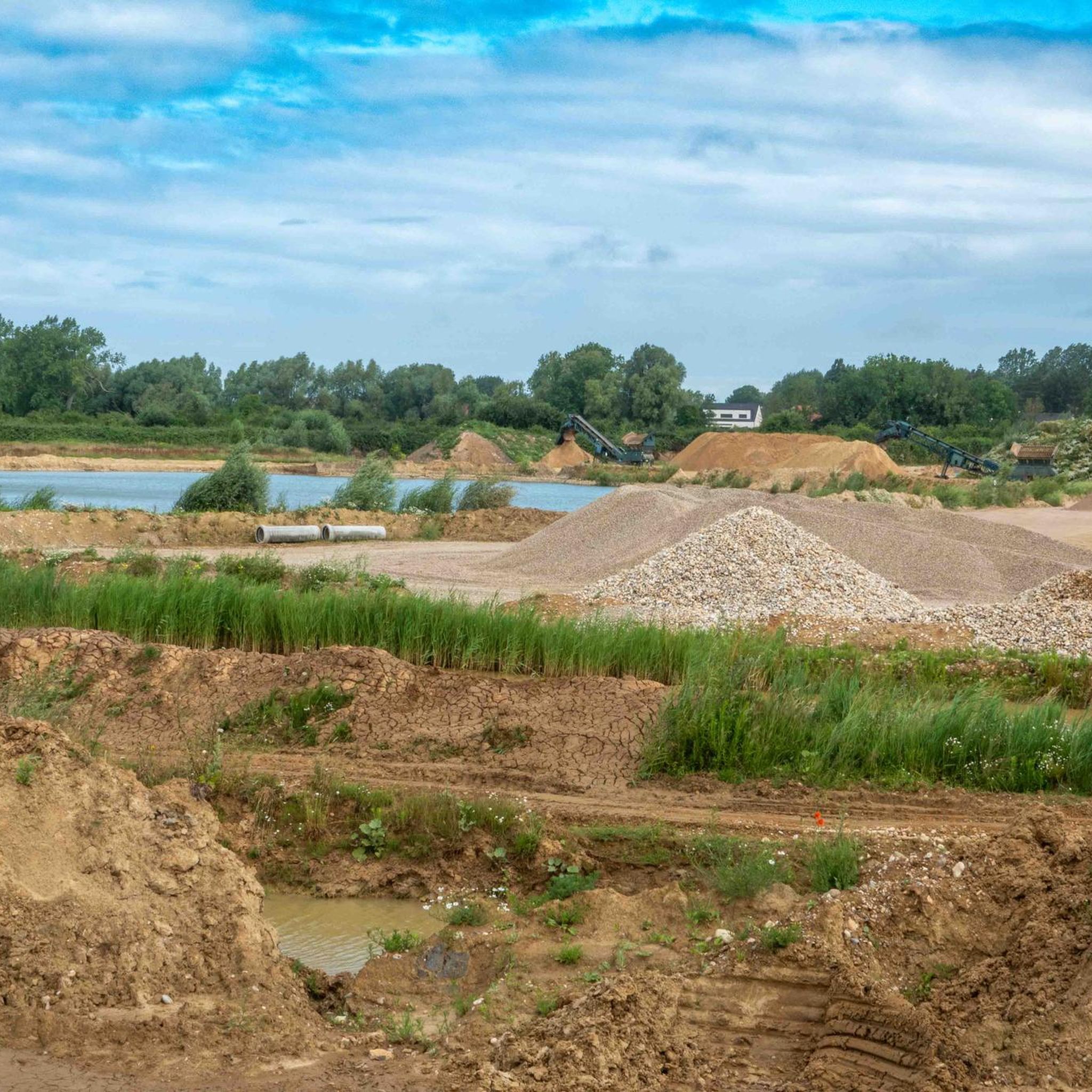
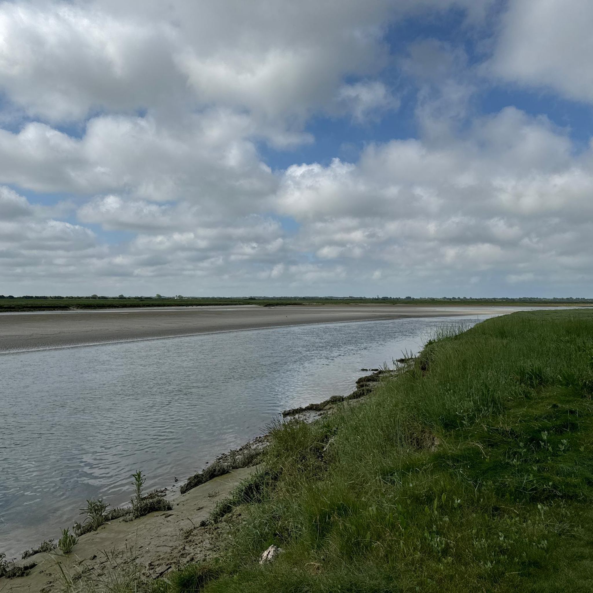
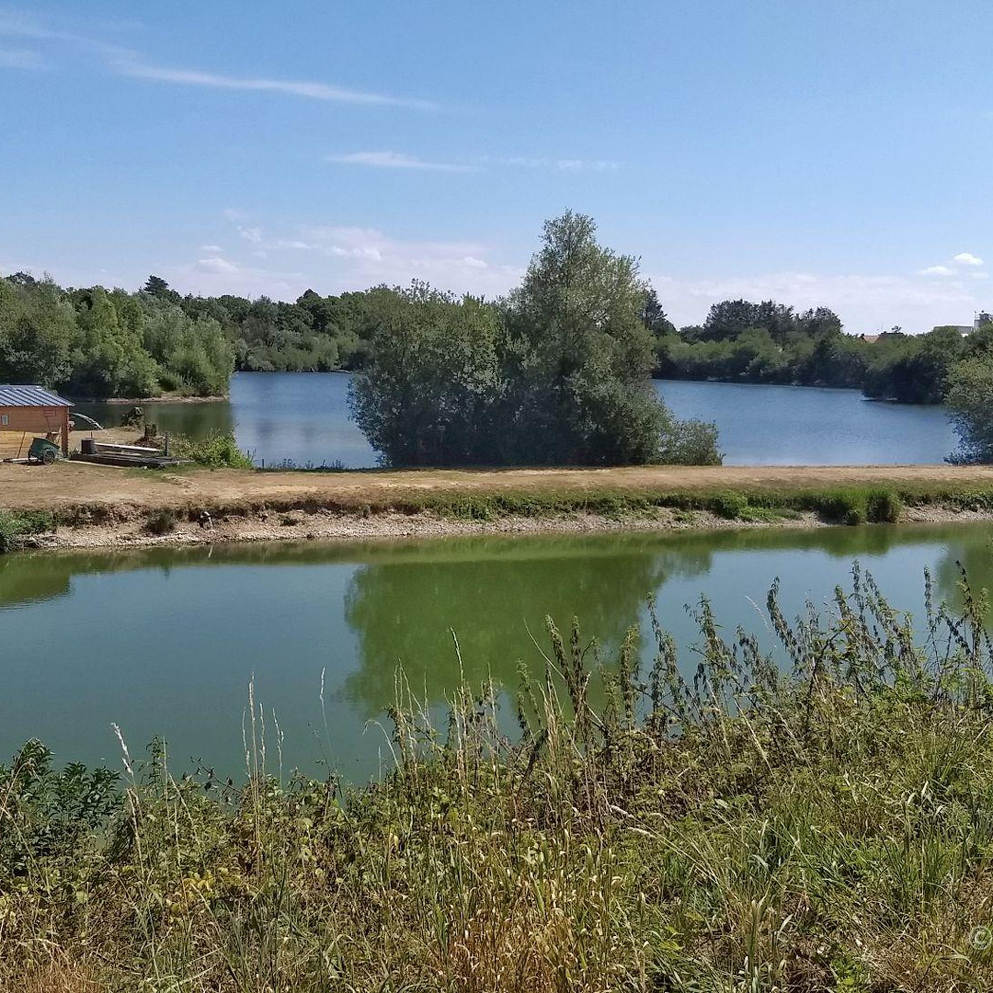

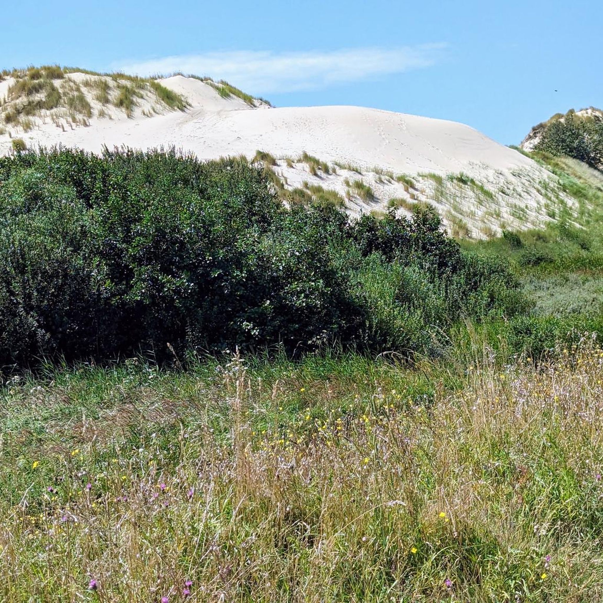
Tips from the Community

Definitely worth seeing, although a rather sad place
0
0

Sacred climb, rivals Haut Pichot for steepness, less so for length.
0
0
The port of La Madelon is a marina located on the Authie, near its mouth at the bottom of the Bay of Authie[1]; the location of the port, in the place called "La Madelon", is shared between the communes of Waben and Groffliers, in the department of Pas-de-Calais.
0
0
Easily navigable, highly recommended
1
0
Very good, relatively new cycle path
0
0
The Canche (Dutch: Kwinte) is a river in France, flowing through the Pas-de-Calais department in the Hauts-de-France region. It originates in the Ternois region, within the commune of Gouy-en-Ternois. Initially flowing southeast, it then turns northwest and, after approximately 100 kilometers, empties into the English Channel as an estuary north of Étaples and Le Touquet-Paris-Plage. Here, the Canche is strongly influenced by the tides. This results in significant fluctuations in the river's water level and the formation of extensive salt marshes.
0
0
The cycle path itself is very good, but there are surprisingly frequent and very large potholes.
0
0
Frequently Asked Questions
How many road cycling routes are available around Wailly-Beaucamp?
There are over 200 road cycling routes around Wailly-Beaucamp, offering a wide variety of options for different skill levels and preferences. The komoot community has explored more than 2,800 of these routes.
What kind of terrain can I expect on road cycling routes near Wailly-Beaucamp?
The region around Wailly-Beaucamp features a landscape with varied altitudes, ranging from 18 to 68 meters. This means you'll encounter gentle undulations rather than steep climbs, making for engaging rides without being overly strenuous. Routes often pass through rural areas, wooded sections like Mouflet, l'Église, and Quesnoy, and charming Picard farms.
Are there road cycling routes suitable for beginners or advanced cyclists?
Yes, the routes around Wailly-Beaucamp cater to various abilities. Out of over 200 routes, 42 are classified as easy, 156 as moderate, and 17 as difficult. This ensures options for both beginners looking for a relaxed ride and advanced cyclists seeking more challenging terrain.
What natural features or landmarks can I discover along the road cycling routes?
Many routes offer access to the wider Opal Coast, including coastal towns and beaches such as Seal Beach (Plage des Phoques). You might also encounter natural features like the Bay of Authie or viewpoints such as the Foraine d’Authie Observatory.
Are there any historical sites accessible by road bike from Wailly-Beaucamp?
Absolutely. The region's location makes it convenient to cycle to historical sites. The fortified town of Montreuil-sur-Mer, known for its ramparts, is about 7 km away. Additionally, the 18th-century Cistercian Valloires Abbey and Gardens are approximately 8 km distant, offering a beautiful destination for a ride.
Are there circular road cycling routes available around Wailly-Beaucamp?
Yes, many of the road cycling routes in the area are designed as loops, allowing you to start and finish at the same point. For example, the Port de la Madelon – Well-Maintained Bike Path loop is a popular circular route.
What do other road cyclists enjoy the most about road cycling in Wailly-Beaucamp?
The area is highly rated by the komoot community, with an average score of 4.3 stars from over 80 reviews. Cyclists often praise the well-maintained paths, the varied terrain with gentle undulations, and the scenic rural landscapes, including wooded areas and charming farms.
Can I find routes that pass through natural parks or protected areas?
Yes, some routes lead through natural park landscapes. For instance, the Parc du Marquenterre – Marquenterre Park loop offers cycling through a significant natural area, known for its diverse wildlife.
Are there any long-distance road cycling options in the region?
Yes, for those seeking longer rides, routes like the Well-Maintained Bike Path – L'Avocette loop cover extensive distances, offering over 70 km of cycling through the region's varied terrain.
Is parking available for cyclists near the road cycling routes in Wailly-Beaucamp?
While specific parking areas for cyclists are not detailed, Wailly-Beaucamp is a rural commune, and parking is generally available in and around the village, especially near local amenities or starting points for routes. It's advisable to check local signage upon arrival.
Are there any permits required for road cycling in the Wailly-Beaucamp area?
No, there are no specific permits required for road cycling on public roads and designated cycling paths in the Wailly-Beaucamp area. You are free to explore the region's routes at your leisure.
Most popular routes around Wailly-Beaucamp
Most popular attractions around Wailly-Beaucamp

Get inspired with the komoot mobile app


Explore more
Browse the best Road cycling routes in other regions.
