The 15 Most Amazing Peaks around Saint-Laurent-De-Cerdans
Mountain peaks around Saint-Laurent-De-Cerdans, a Catalan town in the Pyrénées-Orientales, offer access to a mountainous landscape blending historical sites and natural beauty. The region, part of the larger Pyrenees mountain range, features notable elevations suitable for hiking and scenic views. Situated in the heart of Vallespir, the area provides diverse terrain, transitioning from green western parts to sunnier, Mediterranean-influenced eastern areas. This location offers opportunities for outdoor activities and cultural exploration.
Best mountain peaks around Saint-Laurent-De-Cerdans
- The most popular mountain…
Last updated: June 24, 2026
Puig de Bassegoda
Highlight • Summit
Translated by Google •
Tip by

Puig de les Salines (Salines Peak)
Highlight • Summit
Translated by Google •
Tip by

Sign up now to discover places like this
Get recommendations on the best single tracks, peaks, & plenty of other exciting outdoor places.
Sign up for free
Panoramic View of the Canigou
Highlight • Viewpoint
Translated by Google •
Tip by

El Moixer Peak
Highlight • Summit
Translated by Google •
Tip by

Roc de Frausa
Highlight • Summit
Translated by Google •
Tip by
Sign up for free to discover even more peaks around Saint-Laurent-De-Cerdans.
Sign up for free
Already have an account?
Start today with a free account
Your next adventure awaits.
Login or Signup
Popular around Saint-Laurent-De-Cerdans
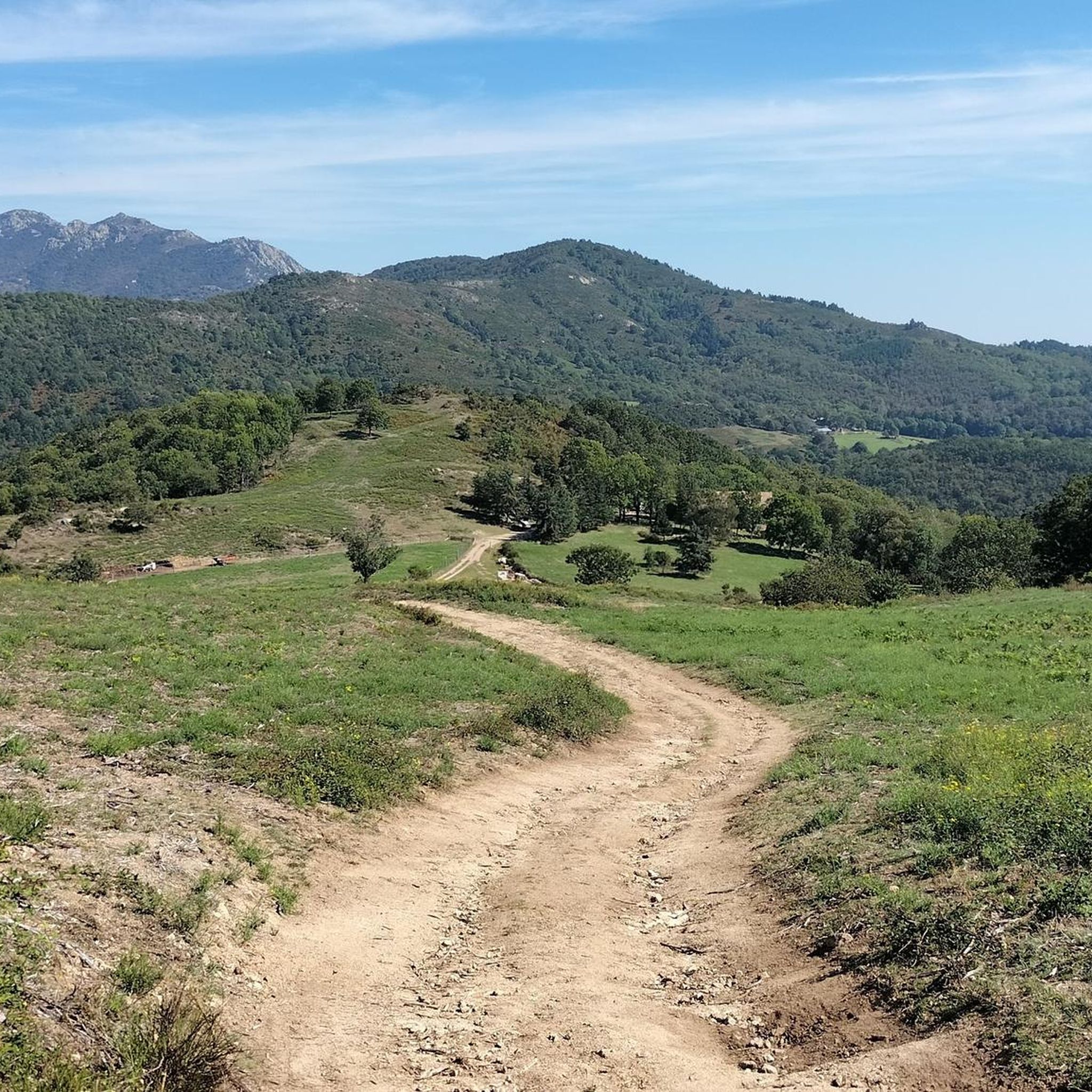
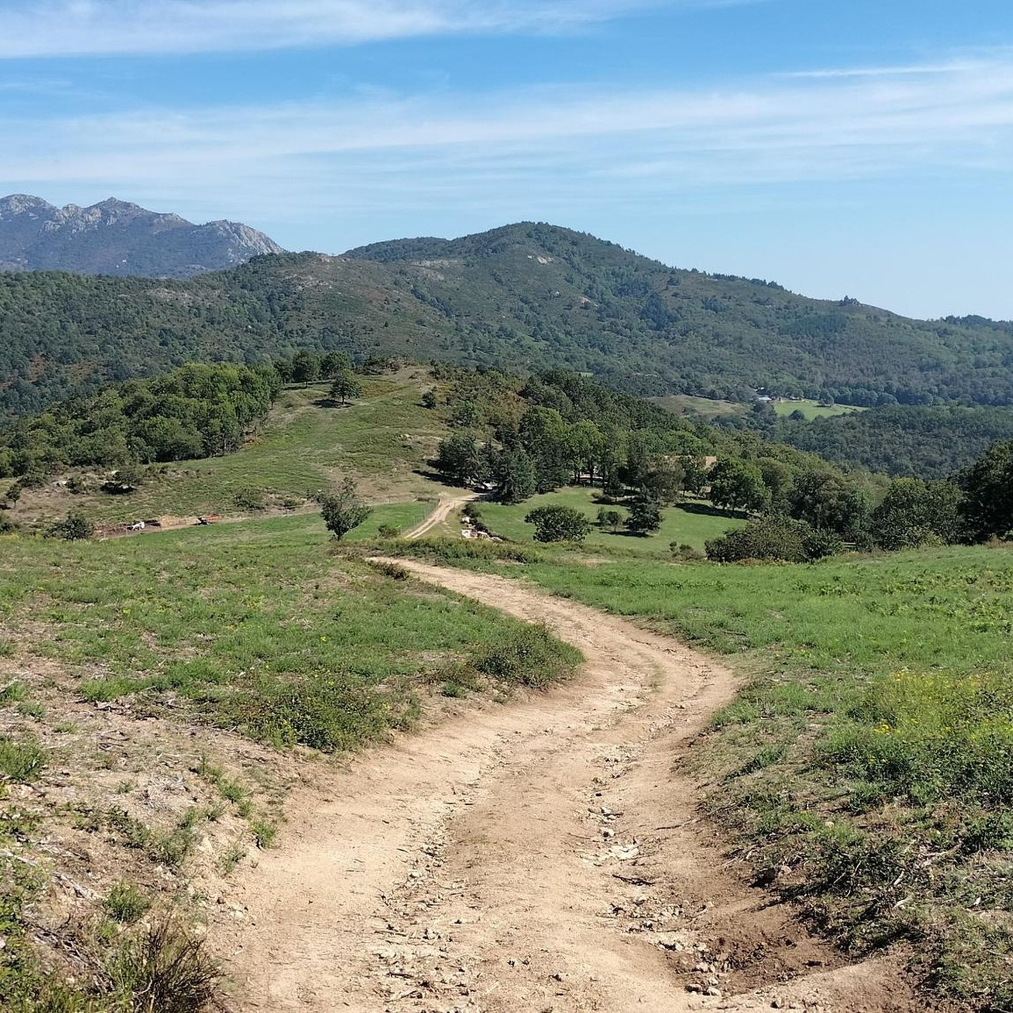
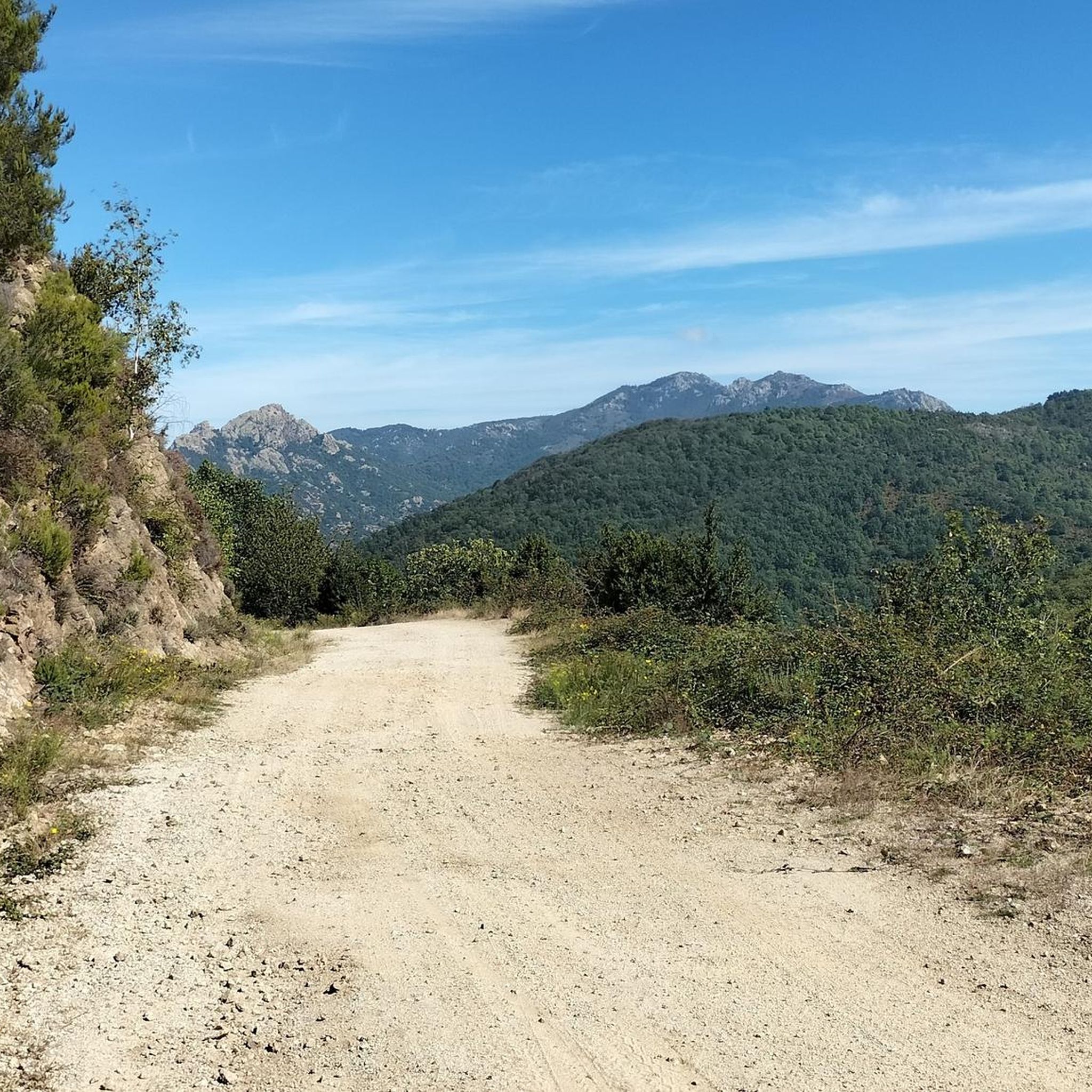
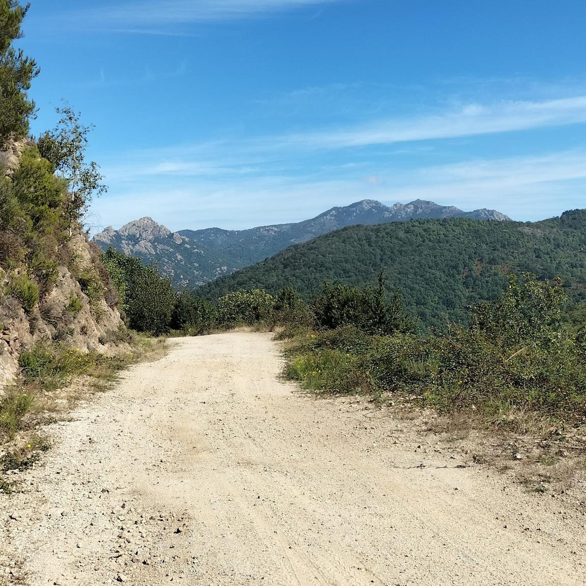
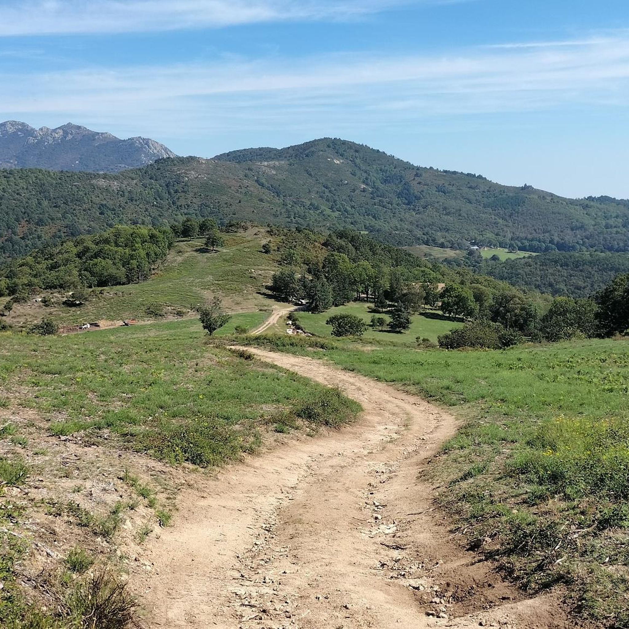

Tips from the Community

From here, you can see the summit of Canigou. The panorama is breathtaking! This giant of the Pyrénées-Orientales, culminating at 2,784 meters. You can also enjoy a breathtaking view of Arles-sur-Tech.
1
0

This summit follows the ridge line which forms the Franco-Spanish border. To get there, you cross the imaginary line that separates the two countries and you leave the GR 10 for a few hundred meters. It is characterized by impressive rock formations.
1
0
This rocky promontory, also called Roc de France, is part of a series of “rocks” which crown the Salines massif. Together they form part of the Franco-Spanish border.
0
0

At 1,373 meters high, the Puig de Bassegoda is located on the border between the regions of La Garrotxa and Alt Empordà. The climb accumulates a lot of positive unevenness in a short distance. For this reason, in the last section it has staples and chains to help itself.
2
1

Its characteristic pointed shape, its height and the fact that it is isolated from other nearby peaks make it easily identifiable. At the foot of the Bassegoda hill on its north-eastern slope, the Borró river, a tributary of the Fluvià, is born. It is actually two peaks separated by a gap. The western one (1363m) is called Taula d'en Gustí and the eastern one (1373m), Taula d'en Sala and is what is properly considered the summit. It seems that the toponym Bassegoda comes from two Basque words: basa, which means 'wilderness, desert', and goiti, which means 'summit, height'; thus Basagoiti would mean 'barren peak', referring to being an absolutely rocky lookout but with excellent 360º views from the Gulf of Roses to Canigó.
2
2

A very nice hike in the Pyrénées Orientales not far from the border with Spain.
14
0
El Moixer (1443 m) - Roof of the Alt Empordà region of the Moixer. Roof of the Alt Empordà region)
12
0
The Puig de les Salines is one of the obligatory hiking trails. The Pic des Salines or Pic de les Salines (in Catalan: puig de les Salines or puig de les Pedrisses) is a peak in the eastern Pyrenees, reaching an altitude of 1,333 m. It marks the border between Spain and France, between Maureillas-las-Illas, Céret and Maçanet de Cabrenys.
12
0
Frequently Asked Questions
What are some of the most popular mountain peaks to visit near Saint-Laurent-de-Cerdans?
Visitors frequently enjoy the Panoramic View of the Canigou, which offers breathtaking vistas of the Pyrénées-Orientales and Arles-sur-Tech. Other popular choices include Puig de Bassegoda, known for its challenging climb, and El Moixer Peak, characterized by impressive rock formations along the Franco-Spanish border.
Are there any challenging mountain peaks for experienced hikers in the region?
Yes, for experienced hikers seeking a challenge, Puig de Bassegoda is a demanding summit located on the border between La Garrotxa and Alt Empordà. It stands at 1,373 meters and features staples and chains in its final section to assist climbers. El Moixer Peak also offers a challenging ascent along the ridge line of the Franco-Spanish border.
Which mountain peaks offer the best panoramic views?
The Panoramic View of the Canigou is highly recommended for its wide panorama of the Pyrénées-Orientales and Arles-sur-Tech, including views of the majestic Canigou summit. From Serre de la Garsa, you can also get panoramic views of the Vallespir valley and surrounding peaks, including Canigou and Costabonne massifs.
Are there mountain peaks that mark the border between France and Spain?
Several peaks in the area follow the Franco-Spanish border. El Moixer Peak is a notable example, with its ridge line forming the border and impressive rock formations. Puig de les Salines (Salines Peak) also marks the border between Spain and France, offering an obligatory hiking trail.
What kind of terrain can I expect when hiking mountain peaks near Saint-Laurent-de-Cerdans?
The region offers diverse terrain, transitioning from green, often misty western parts to sunnier, Mediterranean-influenced eastern areas. You can expect forested paths, open viewpoints, and rocky sections. Peaks like Puig de Bassegoda feature steep ascents with assisted climbing sections, while others like Mont Capell offer moderate challenges with varied landscapes.
What outdoor activities can I do near the mountain peaks around Saint-Laurent-de-Cerdans?
Beyond hiking, the area offers excellent opportunities for other outdoor activities. You can explore various running trails, such as the 'Arles-sur-Tech – Pirinexus le Tech loop', or enjoy gravel biking routes like the 'Darnius-Boadella Reservoir loop'. For more options, check out the Running Trails around Saint-Laurent-De-Cerdans, Gravel biking around Saint-Laurent-De-Cerdans, and Cycling around Saint-Laurent-De-Cerdans guides.
Are there any circular hiking routes to mountain peaks in the area?
Yes, there are several loop routes available. For instance, a trail to Mont Capell starting from Saint-Laurent-de-Cerdans is a loop route covering 21.2 km with an elevation gain of 750 meters. Another moderate loop is to Senyoral Peak, spanning 9.88 km with a 490-meter elevation gain, offering panoramic views from Serre de la Garsa.
What is the best time of year to hike the mountain peaks near Saint-Laurent-de-Cerdans?
The eastern Pyrenees, where Saint-Laurent-de-Cerdans is located, benefits from a Mediterranean influence, suggesting pleasant conditions for hiking during spring and autumn. These seasons typically offer milder temperatures and less extreme weather than summer or winter, making them ideal for exploring the diverse landscapes.
What unique natural features can be found on the mountain peaks?
The peaks in this region are known for their varied natural features. El Moixer Peak, for example, is characterized by impressive rock formations. Puig de Bassegoda has a distinctive pointed shape and is isolated from other peaks, offering excellent 360º views. The region also features granite peaks, limestone formations, and alpine meadows.
Are there any mountain peaks that are considered natural monuments?
Yes, several peaks are recognized as natural monuments due to their unique geological or scenic characteristics. These include Puig de Bassegoda, Puig de les Salines (Salines Peak), El Moixer Peak, and Roc de Frausa.
What can I expect regarding wildlife and flora in the Vallespir region's mountains?
The Pyrenees, including the Vallespir region, are rich in biodiversity. Hikers can expect to encounter diverse flora, transitioning from green western areas to sunnier, Mediterranean-influenced eastern parts. While specific wildlife sightings are not guaranteed, the varied terrain of forests, meadows, and rocky outcrops provides habitats for a range of animal species typical of mountainous regions.
Are there any intermediate difficulty mountain peaks suitable for regular hikers?
Yes, there are several intermediate options. Puig de les Salines (Salines Peak) is considered an obligatory hiking trail of intermediate difficulty. Mont Capell also offers a moderate challenge with diverse landscapes. Additionally, Roc de Frausa is another intermediate summit that is part of the Salines massif.
Most popular routes around Saint-Laurent-De-Cerdans
Most popular attractions around Saint-Laurent-De-Cerdans

Get inspired with the komoot mobile app


Explore more
See even more amazing summits around Saint-Laurent-De-Cerdans with these guides:
