The best road cycling routes around Roannes-Saint-Mary
4.5
(143)
4,525
riders
260
rides
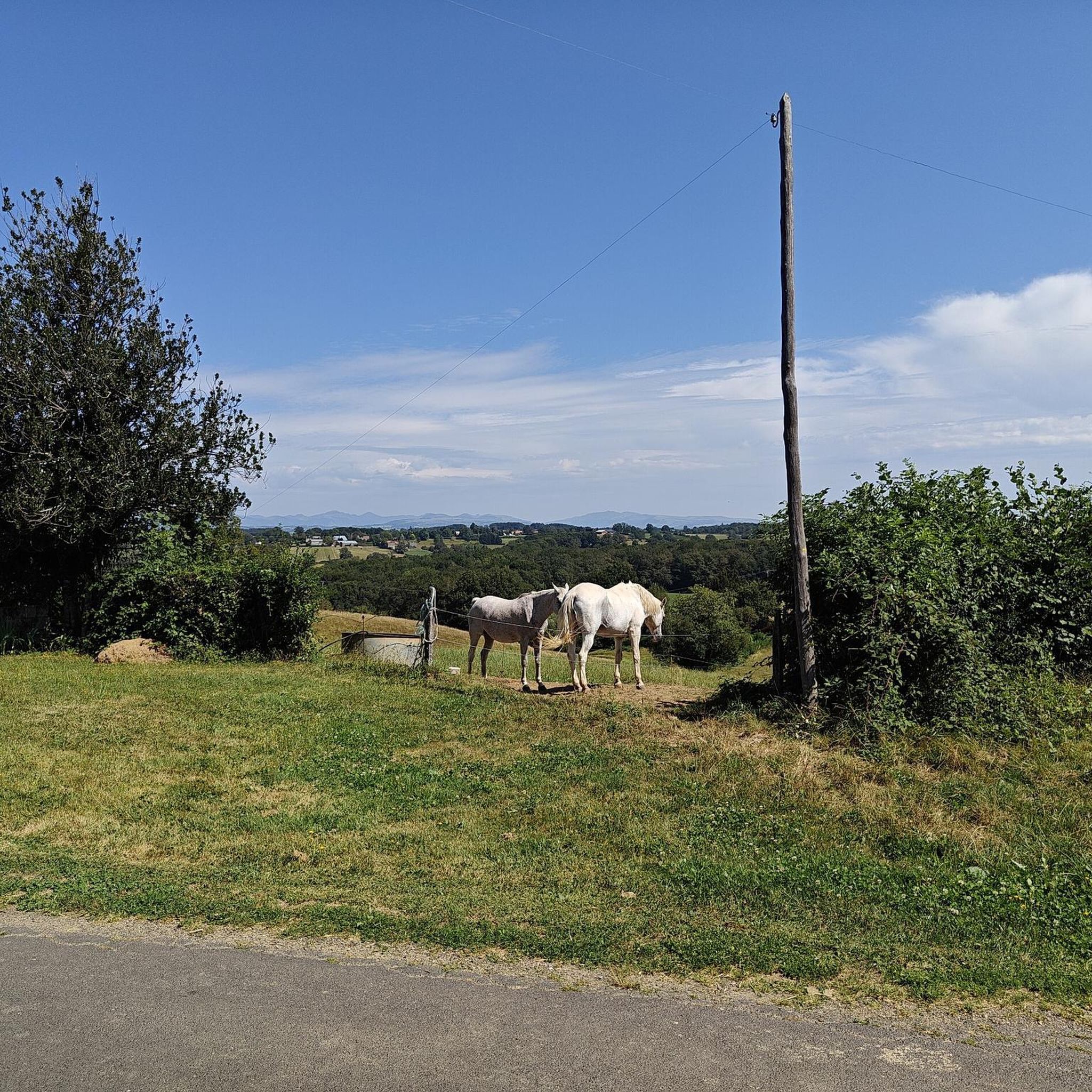
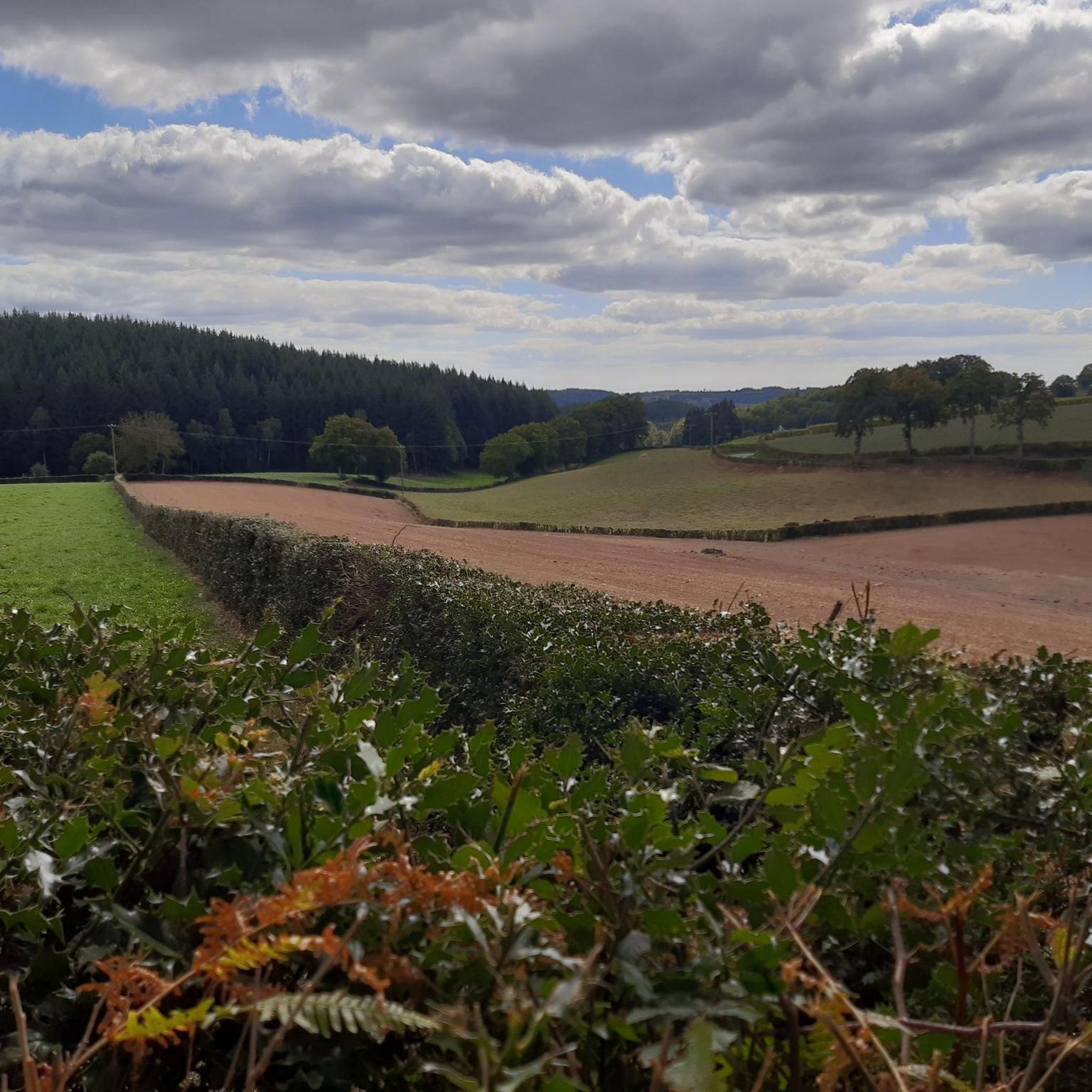
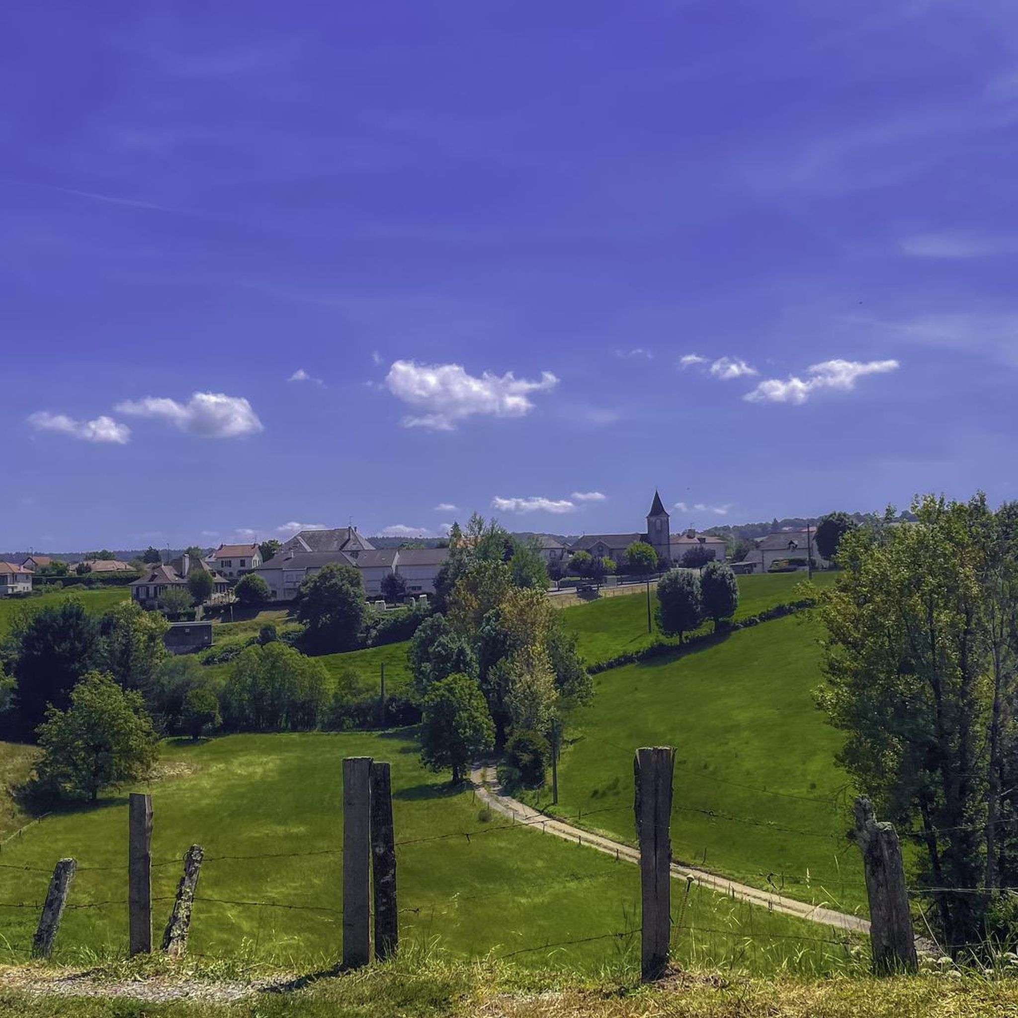
Road cycling routes around Roannes-Saint-Mary are situated in the Cantal department of south-central France, within the Auvergne-Rhône-Alpes region. The commune features varied terrain with repeated ascents and descents, and elevations ranging from 560 to 804 meters. This undulating landscape provides continuous challenges and diverse scenery, with views of the Cantal mountains and volcanic landscapes. The region is characterized by lush green valleys and numerous mountain passes, offering a serene natural environment for road cyclists.
Best road cycling routes around Roannes-Saint-Mary
…Last updated: July 2, 2026
4.0
(1)
30
riders
61.5km
02:51
760m
760m
Moderate road ride. Good fitness required. Mostly well-paved surfaces and easy to ride.
11
riders
44.2km
02:05
580m
580m
Moderate road ride. Good fitness required. Mostly well-paved surfaces and easy to ride.

Sign up for free
6
riders
23.4km
01:06
280m
280m
Easy road ride. Great for any fitness level. Mostly well-paved surfaces and easy to ride.
5
riders
36.6km
01:41
450m
450m
Moderate road ride. Good fitness required. Mostly well-paved surfaces and easy to ride.
4.0
(1)
7
riders
36.9km
01:44
450m
450m
Moderate road ride. Good fitness required. Mostly well-paved surfaces and easy to ride.
Get access to more routes and recommendations from other explorers.
Sign up for free
Already have an account?
Our route recommendations are based on thousands of hikes, rides, and runs completed by other people on komoot.
Start today with a free account
Your next adventure awaits.
Login or Signup


Tips from the Community

Many centuries ago, our ancestors discovered the possibility of harnessing the power of the elements - which on the one hand could be helpful and useful, but on the other hand could also be a threat as untamed forces of nature - for various purposes and thus be able to do without human or animal muscle power. Mills like these are a good example of the human engineering skills of earlier generations: the heavy millstones used to grind grain into corn or press oil, for example, could be powered by the wind or - as here - water.
0
0

Beautiful asphalt road, in the Rance valley, between Saint-Étienne-de-Maurs and Roannes-Saint-Mary. Numerous signs, intended for cyclists, announcing the difference in altitude have been installed on the shoulders. In the fall, watch out for chestnuts on the road!
0
0

The Château Saint-Étienne dominates the town of Aurillac from its hill. The tower dates from Carolingian times. Few elements of the medieval castle remain, due to a fire in the early 19th century. Rebuilt at the end of the century, it now houses the Volcanoes Museum, a must visit if you are in the region! The castle's English gardens are perfect for a stroll.
0
0
The mill of Entraygues is a watermill dating from the end of the 16th century. Intended to produce walnut oil and flour, it played a key role for the local economy. In 1970, the mill stopped working, although you can organize a visit to discover all the secrets of this architectural nugget.
1
0
Bucolic mill on the Rance, with interesting architecture.
1
0

In the fall, watch out for chestnuts on the road... Magnificent valley, easy to do... At the top of the hill turn right, direction Marcoles, Calvinet and the loop is complete...
0
0
Quiet road in the Rance valley on the Châtaigneraie cycle route. Gradual difference in altitude.
1
0

Nice, very quiet road with clean asphalt. Small signs accompany the climb every kilometer.
0
0
Frequently Asked Questions
How many road cycling routes are available around Roannes-Saint-Mary?
The komoot community has mapped over 250 road cycling routes in the Roannes-Saint-Mary area, catering to various skill levels. You'll find a mix of easy, moderate, and challenging rides, with 16 easy, 121 moderate, and 119 difficult routes.
What kind of terrain can I expect on road cycling routes near Roannes-Saint-Mary?
The region around Roannes-Saint-Mary is characterized by varied terrain with repeated ascents and descents, offering continuous challenges and diverse scenery. Elevations range from 560 to 804 meters within the commune itself, and the broader Cantal region features volcanic landscapes, lush green valleys, and numerous mountain passes. Expect undulating roads and scenic views of the Cantal mountains.
Are there any easy road cycling routes suitable for beginners or families around Roannes-Saint-Mary?
Yes, there are 16 easy road cycling routes available. While the region is known for its undulating landscape, you can find less strenuous options. For example, the View of Oyez Castle loop from Sansac-de-Marmiesse is an easy 37.3 km route with a manageable elevation gain, offering a balanced ride through scenic areas.
What are the most challenging road cycling opportunities near Roannes-Saint-Mary?
For experienced cyclists seeking a challenge, the region offers 119 difficult routes. The broader Cantal area, accessible from Roannes-Saint-Mary, includes iconic climbs like the Puy Mary, a celebrated Tour de France ascent crossing the Pas de Peyrol mountain pass. While some Tour de France sections can be steep, many regional routes like the V74 cycle route offer challenging climbs with gradients typically not exceeding 7%.
What notable landmarks or viewpoints can I see along road cycling routes?
Road cycling routes around Roannes-Saint-Mary offer views of the Cantal mountains and volcanic landscapes. You might pass by charming villages and natural features. For example, the Conros Castle loop from Les Bessades takes you past the historic Conros Castle. The area also boasts viewpoints like La Capelotte, offering exceptional panoramas over the Cantal mountains. The nearby city of Aurillac is also a significant point of interest.
What do other road cyclists enjoy most about cycling in Roannes-Saint-Mary?
The area is highly rated by the komoot community, with an average score of 4.6 stars from over 140 reviews. Reviewers often praise the serene natural beauty, the diverse landscapes of mountains, valleys, and plateaus, and the quiet roads that make for an enjoyable cycling experience. Many appreciate the continuous challenges provided by the undulating terrain and the picturesque views.
Is it possible to find circular road cycling routes in the area?
Yes, many of the road cycling routes around Roannes-Saint-Mary are designed as loops, allowing you to start and finish in the same location. Examples include the popular Côte de l'Enseigne – Côte de l'Enseigne loop from Roannes-Saint-Mary, a 61.5 km trail, and the shorter Roadbike loop from Le Bex, which is 24.9 km.
What is the best time of year for road cycling in Roannes-Saint-Mary?
The Auvergne-Rhône-Alpes region, where Roannes-Saint-Mary is located, offers pleasant cycling conditions during spring, summer, and early autumn. These seasons typically provide milder weather and clearer roads, allowing you to fully enjoy the scenic mountain and valley landscapes. Winter can bring snow, especially at higher elevations, making road cycling more challenging.
Are there options for parking for cyclists in Roannes-Saint-Mary?
While specific designated cyclist parking areas are not detailed, Roannes-Saint-Mary is a rural commune. You can typically find parking in or near the village center, or at the start points of various routes. It's advisable to check local signage for any parking restrictions.
Can I access road cycling routes near Roannes-Saint-Mary using public transport?
Roannes-Saint-Mary is about 12 km from Aurillac, the capital of the Cantal département, which serves as a regional hub. While direct public transport to Roannes-Saint-Mary with bike-carrying capacity might be limited, you could potentially reach Aurillac by train or bus and then cycle to Roannes-Saint-Mary to begin your routes. Always check with local transport providers for their bike policies.
Are there any cafes or amenities along the road cycling routes?
The routes often pass through or near charming villages where you can find local amenities, including cafes or small shops. The region is known for its quiet roads and villages nestled in valleys, providing opportunities for stops. For example, the village of Marcolès, which is near some routes, offers local establishments like Le Manoir de Marcolès.
Are there any specific Tour de France routes or climbs accessible from Roannes-Saint-Mary?
Yes, the broader Cantal region is a well-established cycling destination, with many routes featured in the Tour de France. From Roannes-Saint-Mary, you can access routes that lead to iconic climbs like the Puy Mary, which crosses the Pas de Peyrol mountain pass. The V74 cycle route, also known as "La Grande Traversée du Volcan à Vélo," is approximately 160 km long with 2000m of climbing and links the Lot valley with that of the Allier, passing through Aurillac.
Most popular routes around Roannes-Saint-Mary
Most popular attractions around Roannes-Saint-Mary

Get inspired with the komoot mobile app


Explore more
Browse the best Road cycling routes in other regions.
