The best walks and hikes around Les Plantiers
4.5
(177)
1,030
hikers
17
hikes
Hiking around Les Plantiers offers access to the diverse landscapes of the Cévennes National Park, a UNESCO World Heritage site. The region features varied geological formations, including schist, granite, and limestone, creating a mix of beech and ash forests, chestnut groves, and pastures. Numerous mountain passes like Col du Pas and Col de l'Asclier provide panoramic views, while watercourses traverse the area.
Best hiking trails around Les Plantiers
- The most popular hiking route is Fontfouillouse – loop starting from Les…
Last updated: July 7, 2026
4.7
(9)
75
hikers
Moderate hike. Good fitness required. Easily-accessible paths. Suitable for all skill levels.
4.9
(8)
77
hikers
4.96km
01:51
260m
280m
This difficult 3.1-mile loop from Asclier Pass offers panoramic views from Eagle Rock and through diverse Cévennes National Park landscapes.

Sign up for free
4.7
(3)
50
hikers
11.7km
04:12
570m
570m
Moderate hike. Good fitness required. Mostly accessible paths. Sure-footedness required.
5.0
(7)
33
hikers
12.2km
04:17
540m
540m
Moderate hike. Good fitness required. Mostly accessible paths. Sure-footedness required.
5.0
(4)
25
hikers
12.2km
04:17
530m
530m
Moderate hike. Good fitness required. Mostly accessible paths. Sure-footedness required.
Get access to more routes and recommendations from other explorers.
Sign up for free
Already have an account?
Our route recommendations are based on thousands of hikes, rides, and runs completed by other people on komoot.
Start today with a free account
Your next adventure awaits.
Login or Signup

Tips from the Community


Michel Soubeyran, a sculptor based in Favières, has proposed a statue of a shepherd, practically life-size. The work is made of resin covered with bronze powder. The artist donated his work, and the town hall and the association provided the materials for its creation.
0
0
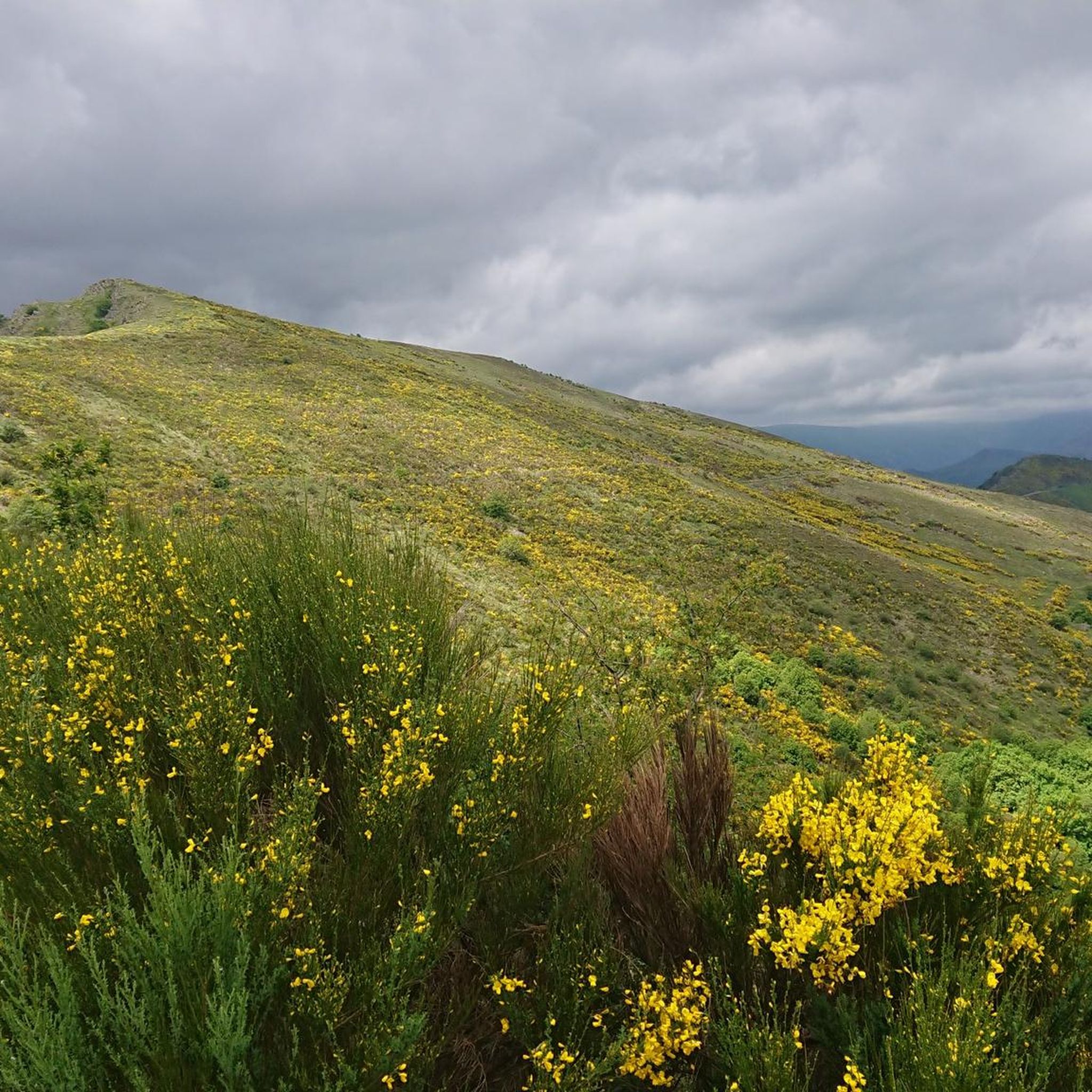
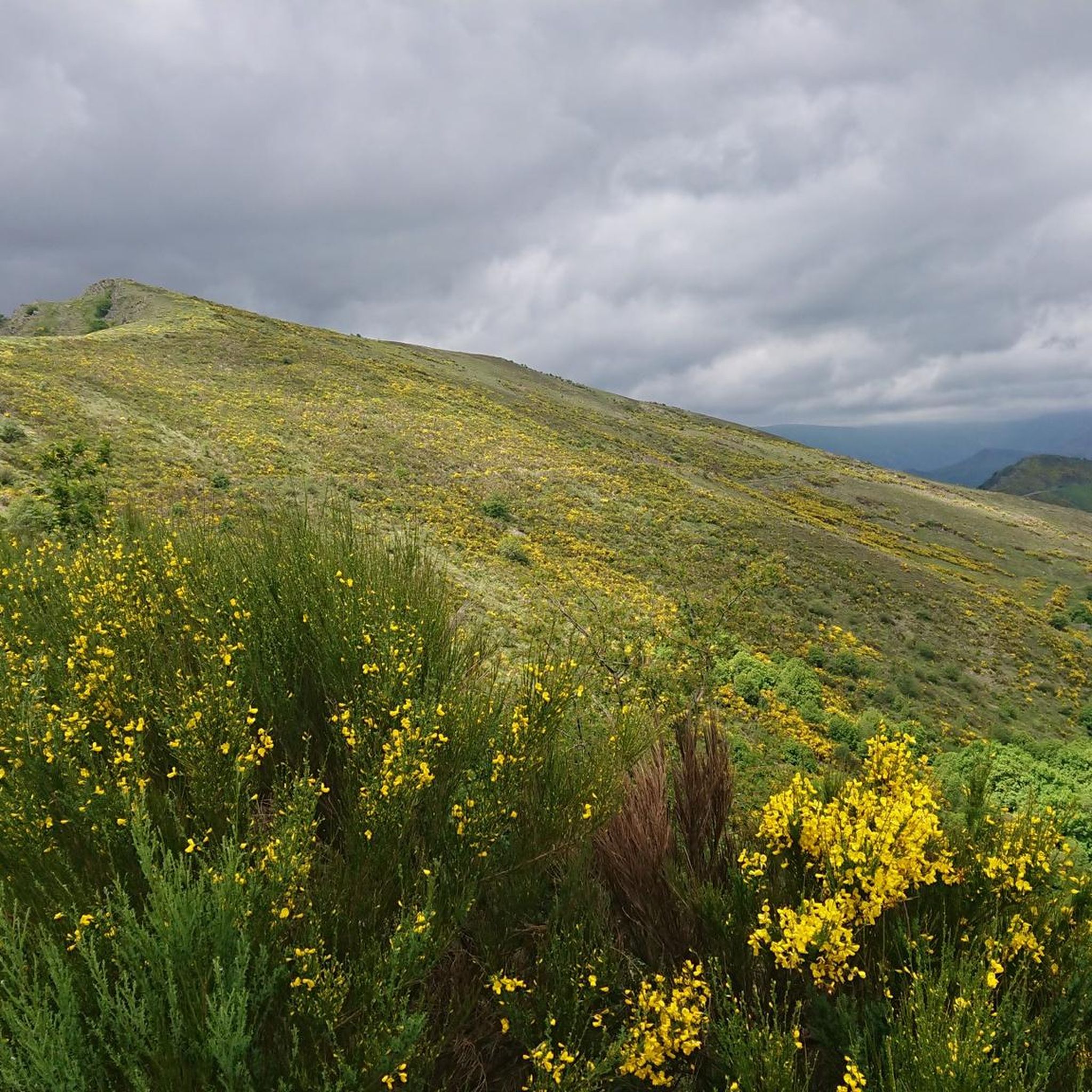
Very beautiful pass offering sumptuous viewpoints and starting points for walks.
0
0
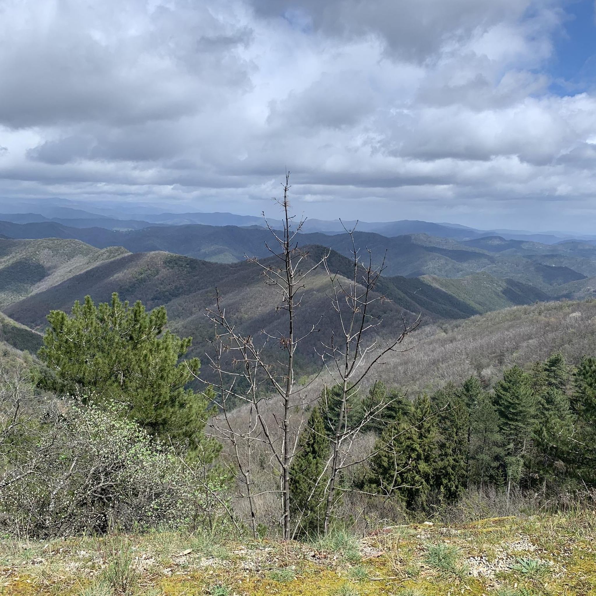
Beautiful views of the Cévennes. Be careful, the rock is slippery when wet.
0
0


Magnificent view of the Cévennes. Unforgettable.
0
0

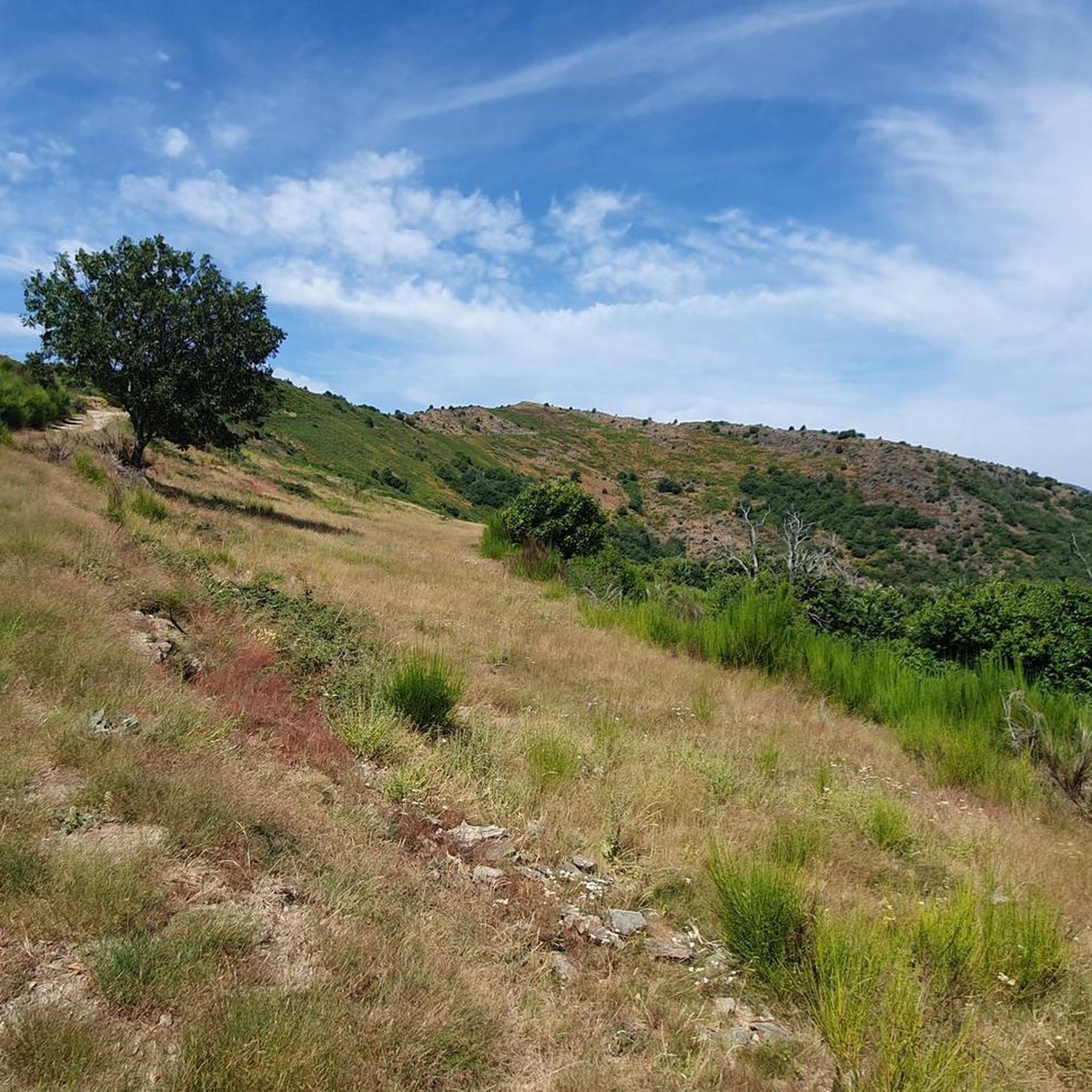
Located in the Massif Central, the Col de l'Asclier is a privileged place for hikers and cyclists. Nestled at an altitude of 911 meters, it offers scenic trails and breathtaking scenery. You can enjoy panoramic views of the Gard mountains.
0
0

The hamlet of Monteils is overlooked by the ruins of a vast castle of which only the first levels of the keep remain.
0
0
Frequently Asked Questions
What kind of terrain can I expect on hiking trails around Les Plantiers?
The terrain around Les Plantiers is highly varied, reflecting its location within the Cévennes National Park. You'll encounter diverse geological formations including schist, granite, and limestone. Trails often lead through beech and ash forests, chestnut groves, and open pastures. Many routes follow ancient paths connecting traditional hamlets, offering a mix of natural beauty and cultural insights.
Are there hiking trails suitable for beginners or those looking for an easy walk?
Yes, Les Plantiers offers a range of trails, including options suitable for beginners. Out of 17 available routes, 3 are classified as easy. These trails provide a gentle introduction to the Cévennes landscape without requiring significant endurance.
What are some notable natural features or landmarks I can see while hiking in Les Plantiers?
Hikers can discover several significant natural features and landmarks. The Eagle Rock Trail leads to the notable "Eagle Rock" formation, offering expansive views. The region is also characterized by numerous mountain passes like Asclier Pass, Lusette Pass, and Col de Saint-Pierre, which provide magnificent panoramic vistas of the Cévennes. The area also features watercourses and a supervised swimming area during summer.
Are there any circular hiking routes available in Les Plantiers?
Yes, many of the trails around Les Plantiers are circular, allowing you to start and end your hike in the same location. For example, the Fontfouillouse – loop starting from Les Plantiers – Cévennes National Park is a popular moderate circular route. Another option is the Pont Moutonnier – Asclier Pass loop from Col de l'Asclier, which offers mountain pass scenery.
What is the best time of year to go hiking in Les Plantiers?
The Cévennes region, including Les Plantiers, is generally best for hiking from spring through autumn. During these seasons, the weather is typically pleasant, and the diverse landscapes are vibrant. Summer offers the added benefit of supervised swimming areas. While winter hiking is possible, some higher elevation trails might be more challenging due to snow or ice.
Can I bring my dog on the hiking trails in Les Plantiers?
Les Plantiers is located within the Cévennes National Park. While dogs are generally permitted on trails, it's crucial to keep them on a leash to protect local wildlife and livestock, especially in core zones of the park. Always check specific regulations for the Cévennes National Park before heading out.
How long do hikes in Les Plantiers typically take?
Hiking durations vary significantly depending on the trail's length and difficulty. For instance, the moderate Fontfouillouse loop takes approximately 4 hours and 25 minutes, while the more challenging Eagle Rock Trail can be completed in about 1 hour and 50 minutes. There are also longer, more strenuous options for experienced hikers.
Are there any challenging hiking trails for experienced hikers?
Yes, for experienced hikers seeking a challenge, Les Plantiers offers several difficult routes. For example, the Eagle Rock Trail is classified as difficult. Additionally, the region provides access to more strenuous options like sections of the famous "4000 steps" trail or longer loops around Mont Aigoual, which involve significant elevation changes and require good endurance.
What do other hikers say about the trails in Les Plantiers?
The hiking trails around Les Plantiers are highly regarded by the komoot community, holding an average rating of 4.4 stars from over 170 reviews. Hikers frequently praise the diverse landscapes, the well-maintained paths within the Cévennes National Park, and the stunning panoramic views from mountain passes and viewpoints like the Beautiful view of the Cévennes – Col du Pas Monument loop from Faveyrolles.
Is there public transport access to Les Plantiers for hikers?
While Les Plantiers is a charming village nestled in the Cévennes, public transport options directly to and around the village can be limited. It's advisable to check local bus schedules in advance or consider personal transport for greater flexibility when accessing trailheads.
Where can I park my car when hiking in Les Plantiers?
Parking is generally available in and around the village of Les Plantiers, often near trailheads or in designated village parking areas. Given the rural nature of the Cévennes, specific parking information for each trailhead might be found on local signage or detailed route descriptions.
Are there any opportunities for wild swimming near the hiking trails?
The village of Les Plantiers is traversed by two watercourses, and a supervised swimming area is available during the summer months, offering a refreshing option after a hike. While specific wild swimming spots along trails are not explicitly detailed, the presence of watercourses suggests potential opportunities, though caution and local knowledge are always recommended.
Most popular attractions around Les Plantiers

Get inspired with the komoot mobile app


Explore more
Browse the best Hikes in other regions.
