The best walks and hikes around Potelières
4.4
(716)
3,280
hikers
239
hikes
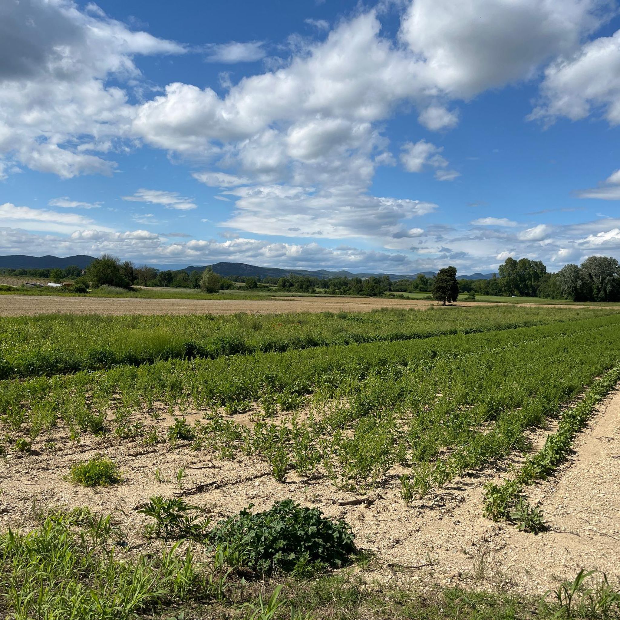
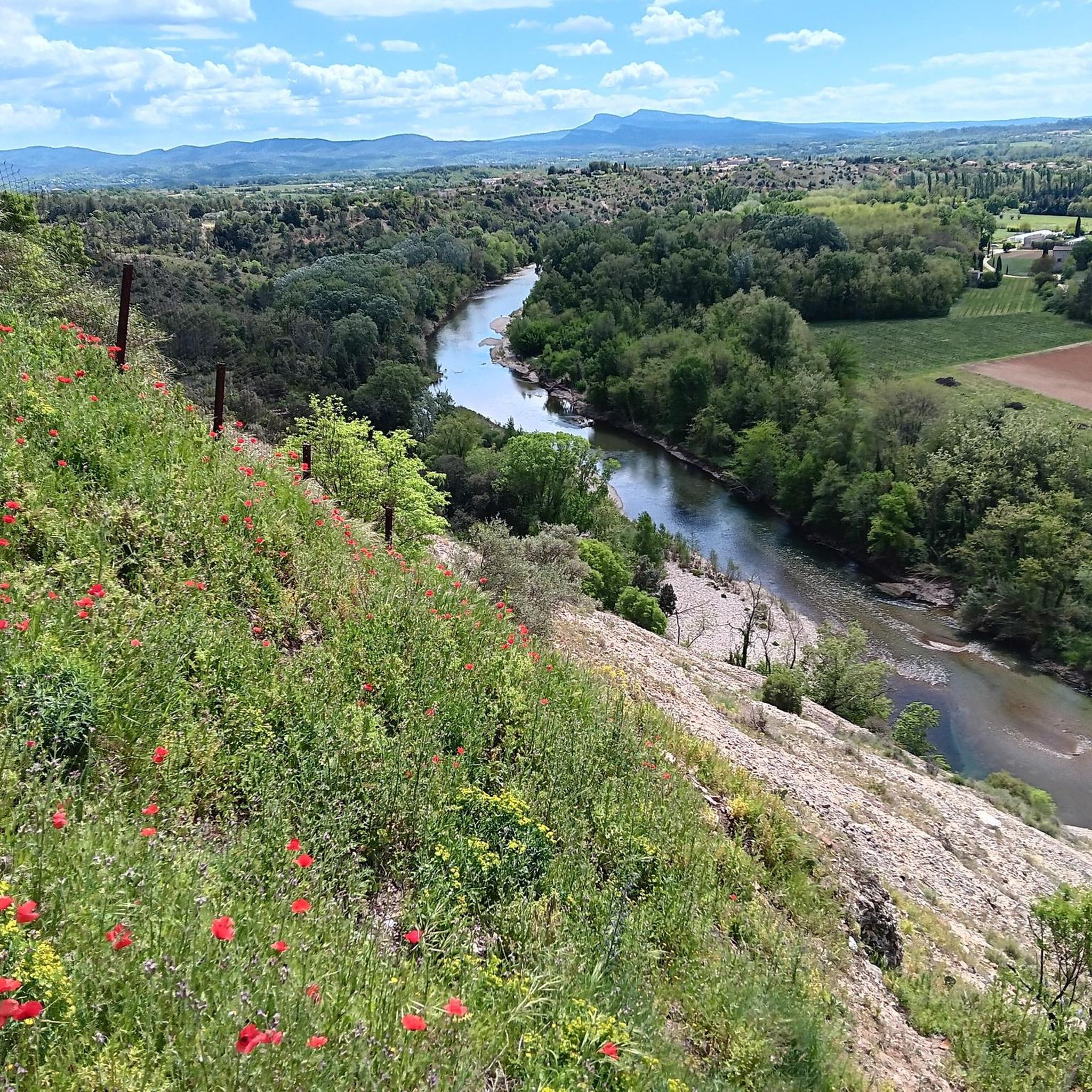
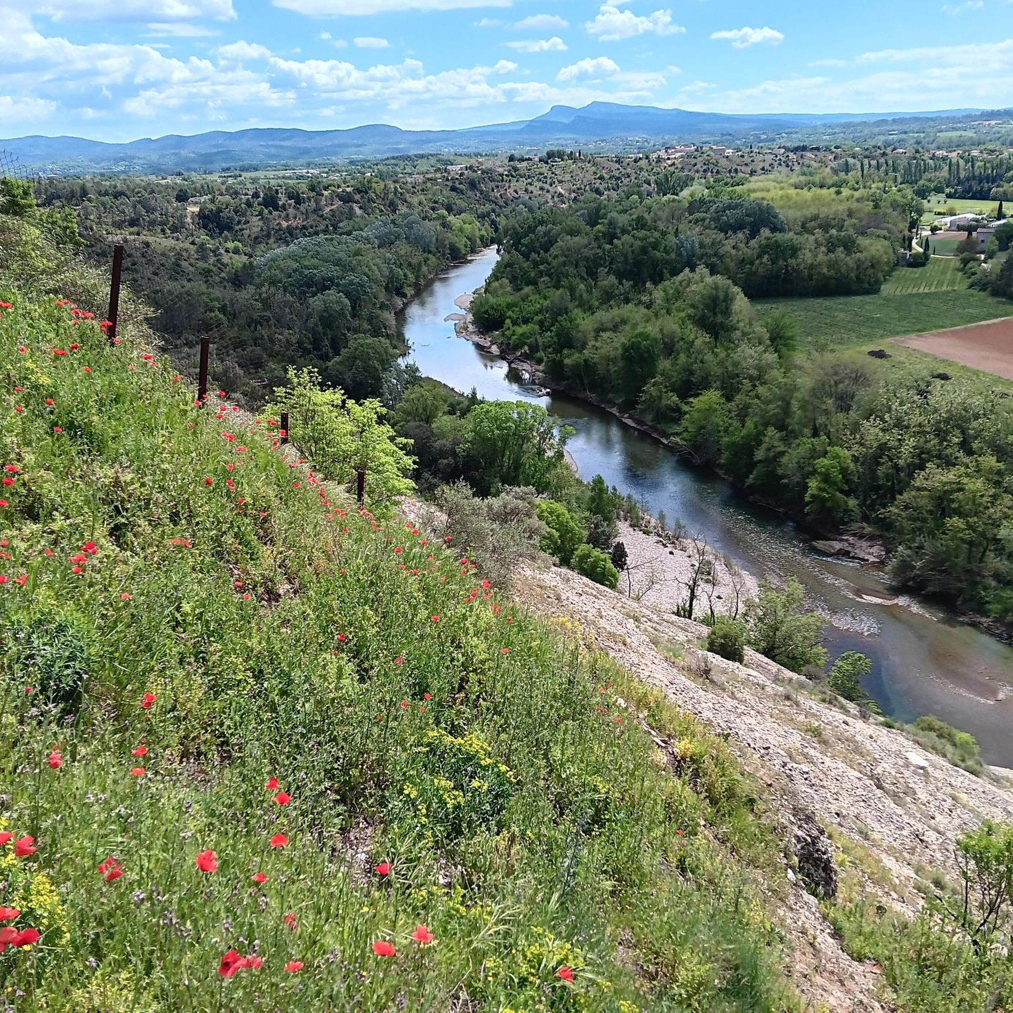
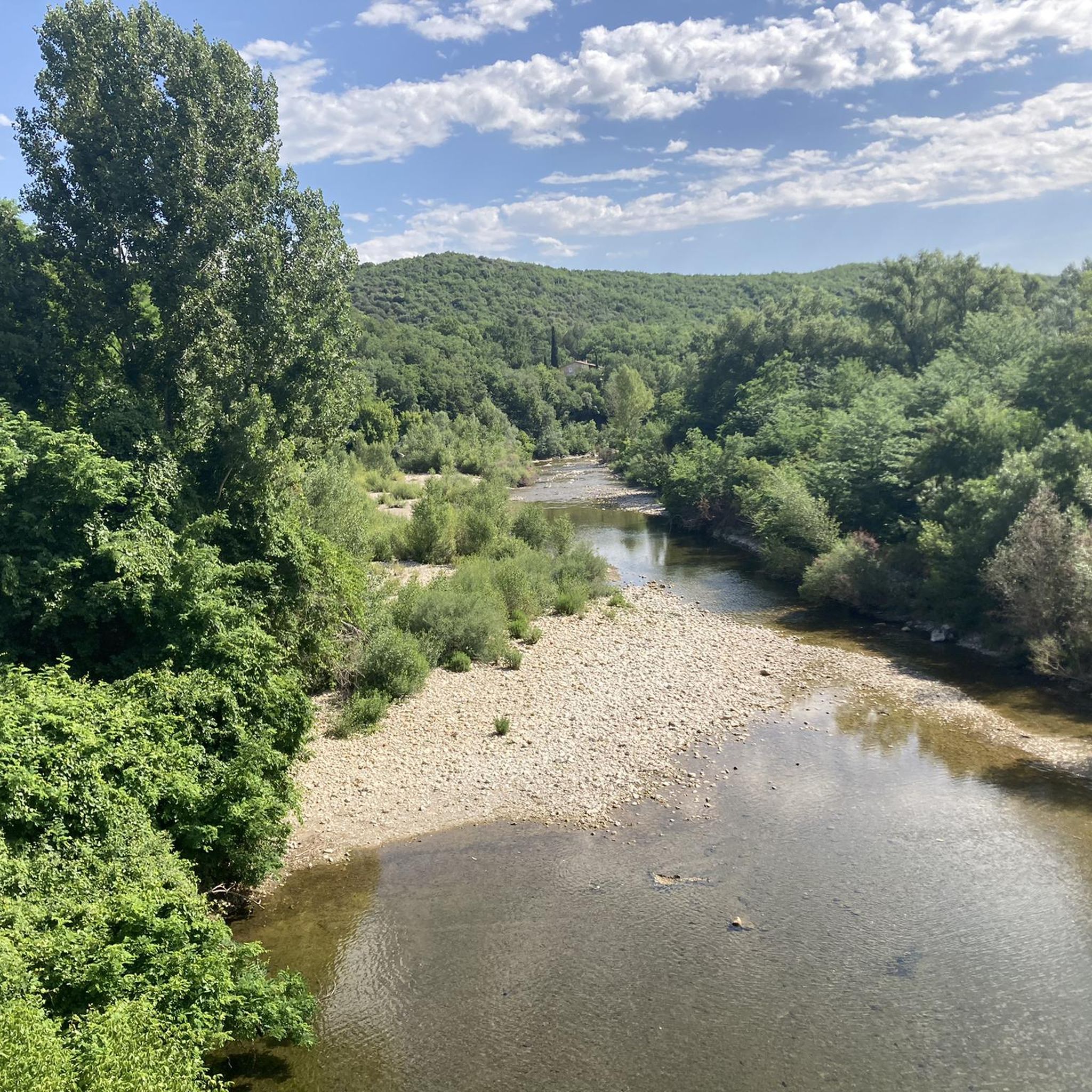
Hiking around Potelières offers diverse trails through the Cèze River valley and surrounding gentle hills. The landscape is characterized by its riverine environments, often featuring small stone bridges and accessible paths. Elevation changes are generally modest, making many routes suitable for various fitness levels.
Best hiking trails around Potelières
- The most popular hiking route is Small Stone Bridge Over Stream – Le Joncas, hiking node loop from Saint-Denis, a 5.9 miles (9.5 km) trail that takes 2 hours 30…
Last updated: July 8, 2026
3.3
(3)
11
hikers
Moderate hike. Good fitness required. Easily-accessible paths. Suitable for all skill levels.
5
hikers
5.51km
01:26
40m
40m
Easy hike. Great for any fitness level. Easily-accessible paths. Suitable for all skill levels.

Sign up for free
9
hikers
Easy hike. Great for any fitness level. Easily-accessible paths. Suitable for all skill levels.
4.0
(1)
7
hikers
6.87km
01:47
40m
40m
Easy hike. Great for any fitness level. Easily-accessible paths. Suitable for all skill levels.
3
hikers
3.84km
01:01
40m
40m
Easy hike. Great for any fitness level. Easily-accessible paths. Suitable for all skill levels.
Get access to more routes and recommendations from other explorers.
Sign up for free
Already have an account?
Our route recommendations are based on thousands of hikes, rides, and runs completed by other people on komoot.
Start today with a free account
Your next adventure awaits.
Login or Signup
Tips from the Community

Part of the Cévennes hiking network
0
0
Part of the Cévennes hiking network
0
0
Small bridge over a stream that is temporarily dry
0
0
Part of the Cévennes hiking network
0
0
Part of the Cévennes hiking network
0
0
Part of the Cévennes hiking network
0
0
Small village square, with town hall, church and parking lot. There is also an information board
0
0
Good starting point with safe parking
0
0
Frequently Asked Questions
How many hiking trails are available around Potelières?
There are over 230 hiking routes in the Potelières area, offering a wide range of options from easy riverside strolls to more moderate loops through the gentle hills.
Are there easy hiking trails suitable for beginners or families in Potelières?
Yes, Potelières offers many easy trails perfect for beginners and families. Over 110 routes are classified as easy. A great option is The Cèze. – Cèze River loop from Potelières, an easy 3.4-mile (5.5 km) path that provides tranquil views along the river.
Are there circular hiking routes around Potelières?
Many of the trails around Potelières are designed as circular routes. For example, the popular Small Stone Bridge Over Stream – Le Joncas, hiking node loop from Saint-Denis is a 5.9-mile (9.5 km) loop that features a notable stone bridge.
What do other hikers say about the trails in Potelières?
The hiking routes in Potelières are highly rated by the komoot community, with an average score of 4.4 stars from over 590 reviews. More than 2900 hikers have explored the area, often praising the accessible paths and riverine environments.
Are there any waterfalls or natural monuments to see on the trails?
Yes, the region boasts several impressive natural monuments. You can discover the Grandes Aiguières Waterfalls and Pools, The Three Arches of the Cèze Gorges, and The Little Aiguières, all of which are popular highlights in the area.
Can I explore caves near the hiking trails in Potelières?
Absolutely. The area around Potelières is known for its caves. Notable sites include the famous Grotte de la Cocalière and the Aven des Oublis, offering unique underground exploration opportunities.
Are the hiking trails in Potelières dog-friendly?
Many trails in the Potelières area are suitable for walking with dogs, especially those along the Cèze River. It's always recommended to keep dogs on a leash, especially in nature reserves or near livestock, and to check for any specific local regulations.
What is the typical duration for a hike in Potelières?
Hike durations vary, but many popular routes range from 1.5 to 3 hours. For instance, The Cèze. – La Cèze River Crossing loop from Potelières typically takes about 1 hour 47 minutes, while the Small Stone Bridge Over Stream – Le Joncas, hiking node loop from Saint-Denis takes around 2 hours 30 minutes.
Are there any moderate or more challenging hikes available?
While many trails are easy, there are also moderate options. For example, Le Joncas, hiking node – Wandelknooppunt Mas Bernard loop from Saint-Victor-de-Malcap is a moderate 7.1-mile (11.5 km) route with a bit more elevation gain. There are also a few difficult trails for experienced hikers.
What kind of landscape can I expect while hiking in Potelières?
The landscape around Potelières is characterized by the Cèze River valley and gentle hills. You'll find riverine environments, often featuring small stone bridges, accessible paths, and modest elevation changes, making for pleasant and varied scenery.
Are there any historical or cultural points of interest along the trails?
Beyond natural beauty, the region has historical elements. For example, you can find the Balmes Iron Mines near Saint-Jean, offering a glimpse into the area's industrial past, often accessible via local hiking paths.
Most popular routes around Potelières
Most popular attractions around Potelières

Get inspired with the komoot mobile app


Explore more
Browse the best Hikes in other regions.
