The best running trails around Masseret
3.7
(12)
170
runners
23
runs
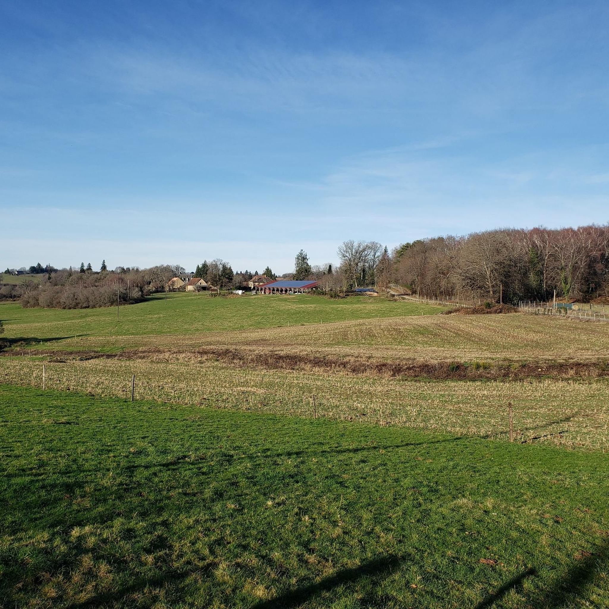
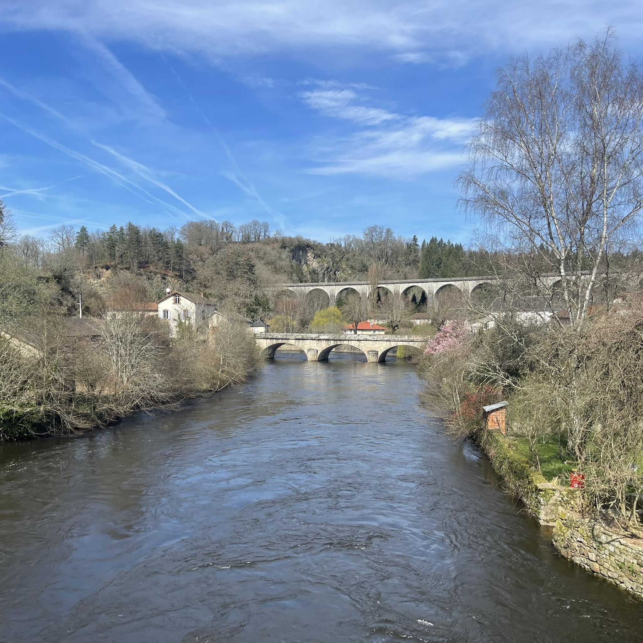
Jogging routes around Masseret offer a diverse terrain suitable for various fitness levels, characterized by its undulating landscape. The region's elevation, ranging from 389 to 520 meters, provides varied topography with inclines and descents. Joggers can experience panoramic views from elevated points, including the Monts d'Ambazac and the Plateau de Millevaches. The area features a network of natural trails, including those around picturesque lakes and through scenic countryside.
Best jogging routes around Masseret
- The most popular jogging route is Tour…
Last updated: June 29, 2026
2.5
(2)
15
runners
8.54km
01:00
110m
120m
Moderate run. Good fitness required. Mostly paved surfaces. Suitable for all skill levels.
30
runners
14.0km
01:41
220m
220m
Moderate run. Good fitness required. Mostly paved surfaces. Suitable for all skill levels.

Sign up for free
11
runners
27.3km
03:17
480m
480m
Hard run. Very good fitness required. Mostly paved surfaces. Suitable for all skill levels.
10
runners
16.2km
01:56
200m
200m
Hard run. Very good fitness required. Mostly paved surfaces. Suitable for all skill levels.
4.7
(3)
5
runners
6.94km
00:53
140m
140m
Moderate run. Good fitness required. Mostly paved surfaces. Suitable for all skill levels.
Get access to more routes and recommendations from other explorers.
Sign up for free
Already have an account?
Our route recommendations are based on thousands of hikes, rides, and runs completed by other people on komoot.
Start today with a free account
Your next adventure awaits.
Login or Signup

Tips from the Community

This beautiful lake is a great addition to any run.
2
0
This beautiful lake not only offers the possibility of fishing, but also a swimming area and activities for children. A visit is essential.
2
0

The most beautiful lake in Meuzac, perfect for swimming with picnic tables, snacks and refreshments.
1
0

Frequently Asked Questions
What kind of terrain can I expect on running routes around Masseret?
Jogging routes around Masseret feature a diverse and undulating terrain, with elevations ranging from 389 to 520 meters. This means you'll encounter a mix of inclines and descents, providing a good cardiovascular workout. The landscape includes natural trails through forests, around picturesque lakes, and across scenic countryside.
How many running routes are available in the Masseret area?
There are over 18 running routes available around Masseret, offering a variety of options for different fitness levels and preferences.
Are there any easy running routes for beginners in Masseret?
While Masseret's terrain is generally undulating, most routes are classified as moderate or difficult. There are no routes specifically categorized as easy, so beginners should be prepared for some elevation changes.
Can I find routes with panoramic views in Masseret?
Yes, Masseret is known for its scenic vistas. From elevated points, such as the orientation tower, you can enjoy beautiful circular panoramas that include the Monts d'Ambazac, the Plateau de Millevaches, and even the Monts d'Auvergne on clear days.
Are there any running loops around lakes in Masseret?
Absolutely. Several routes feature beautiful lakes. For example, the Tour of the lakes in Meuzac - running loop is a popular moderate trail offering scenic views around the lakes. Another option is the Plan d'eau des Forges loop from Masseret.
What is a good moderate-difficulty running route near Masseret?
A great moderate option is the Plan d'eau des Forges loop from Masseret. This 13.4 km (8.3 miles) path leads through varied terrain, including sections around the Plan d'eau des Forges, and typically takes about 1 hour 35 minutes to complete.
What do other runners think about the trails in Masseret?
The running routes in Masseret are highly rated by the komoot community, with an average score of 4.0 stars from over 6 reviews. More than 120 runners have used komoot to explore the varied terrain, often praising the natural beauty and engaging landscapes.
Are there any longer or more challenging running routes in the area?
For a more challenging run, consider the Forest Path – Lac de la Roche loop from Meuzac. This difficult 16.2 km (10.1 miles) trail takes you through forest paths and around Lac de la Roche, typically completed in about 1 hour 55 minutes.
Can I find running routes that are primarily loops or circular?
Yes, many of the running routes in Masseret are designed as loops, allowing you to start and finish at the same point. Examples include the Tour of the lakes in Meuzac - running loop and the Plan d'eau des Forges loop from Masseret.
What natural features can I expect to see while running in Masseret?
You'll encounter a rich variety of natural features, including dense forests, picturesque lakes like Lac de la Roche and Plan d'eau des Forges, and rolling countryside. The region's hilly topography also provides numerous opportunities for scenic views.
Is there a particularly long running route for endurance training?
For a significant challenge, the Plan d'eau des Forges loop from Cirat is a difficult 31.1 km (19.3 miles) route with over 500 meters of elevation gain, making it suitable for long-distance endurance training.

Get inspired with the komoot mobile app


Explore more
Browse the best Running Trails & Routes in other regions.
