
The best running trails around Saint-Pantaléon-De-Lapleau
4.9
(12)
263
runners
24
runs
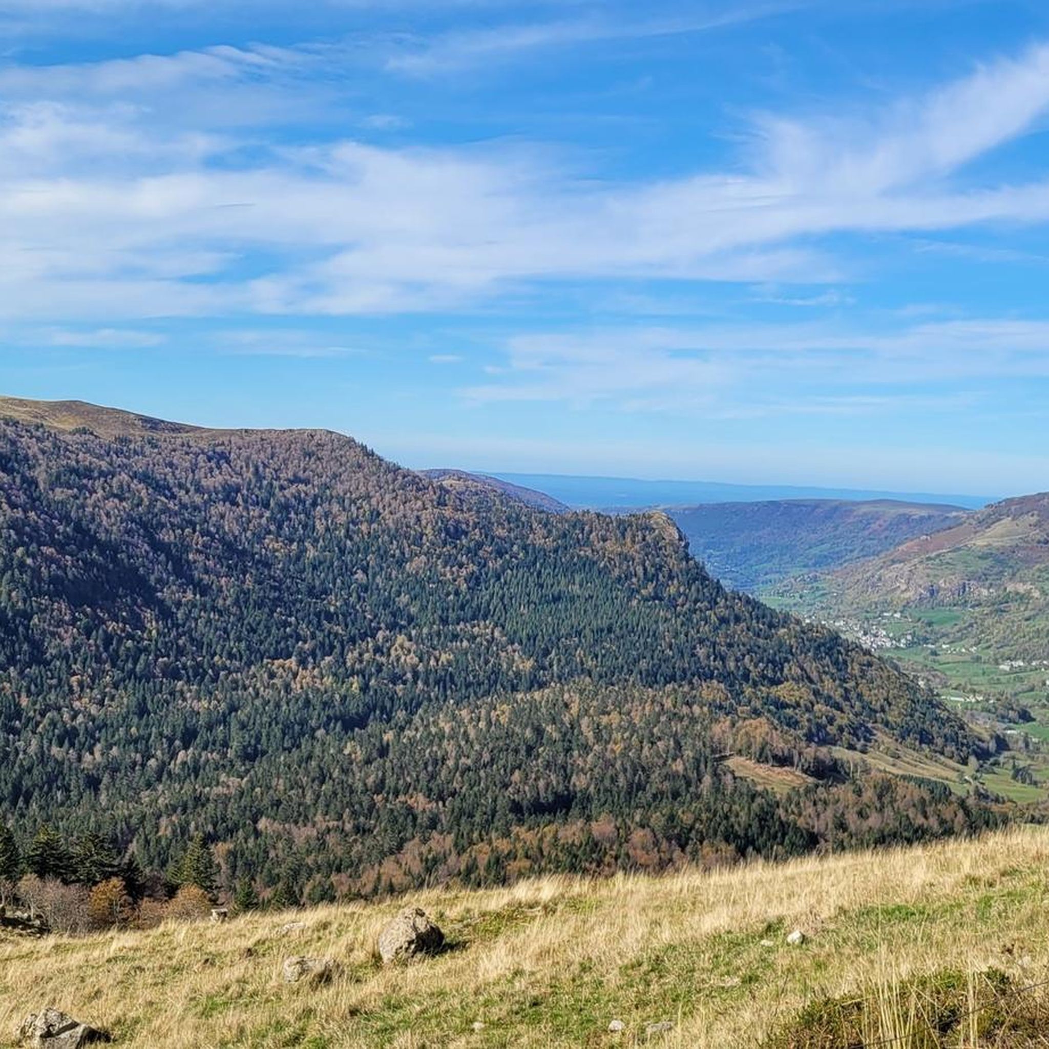
Jogging routes around Saint-Pantaléon-De-Lapleau traverse a wooded and steep landscape, with elevations ranging from 332 to 609 meters. The region is characterized by extensive forests and the deep gorges of the Luzège river, offering varied terrain for running. This topography provides routes with ascents and descents, suitable for different levels of physical challenge. The area's natural features, including the Luzège gorges and prominent rock formations, contribute to the diverse running environment.
Best jogging routes around Saint-Pantaléon-De-Lapleau
- The most popular jogging…
Last updated: June 29, 2026
22
runners
39.4km
06:00
1,890m
1,890m
Hard run. Very good fitness required. Mostly paved surfaces. Suitable for all skill levels.
18
runners
31.2km
04:23
1,250m
1,250m
Hard run. Very good fitness required. Mostly paved surfaces. Suitable for all skill levels.

Sign up for free
12
runners
27.7km
03:14
510m
510m
Hard run. Very good fitness required. Mostly paved surfaces. Suitable for all skill levels.
9
runners
5.27km
00:34
70m
70m
Moderate run. Good fitness required. Mostly paved surfaces. Suitable for all skill levels.
5.0
(4)
6
runners
9.84km
01:07
170m
170m
Moderate run. Good fitness required. Mostly paved surfaces. Suitable for all skill levels.
Get access to more routes and recommendations from other explorers.
Sign up for free
Already have an account?
Our route recommendations are based on thousands of hikes, rides, and runs completed by other people on komoot.
Start today with a free account
Your next adventure awaits.
Login or Signup
Popular around Saint-Pantaléon-De-Lapleau
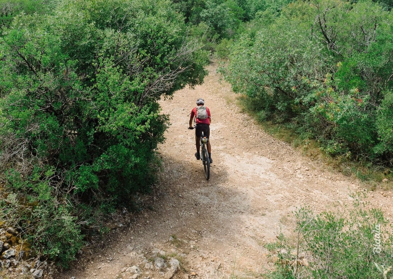
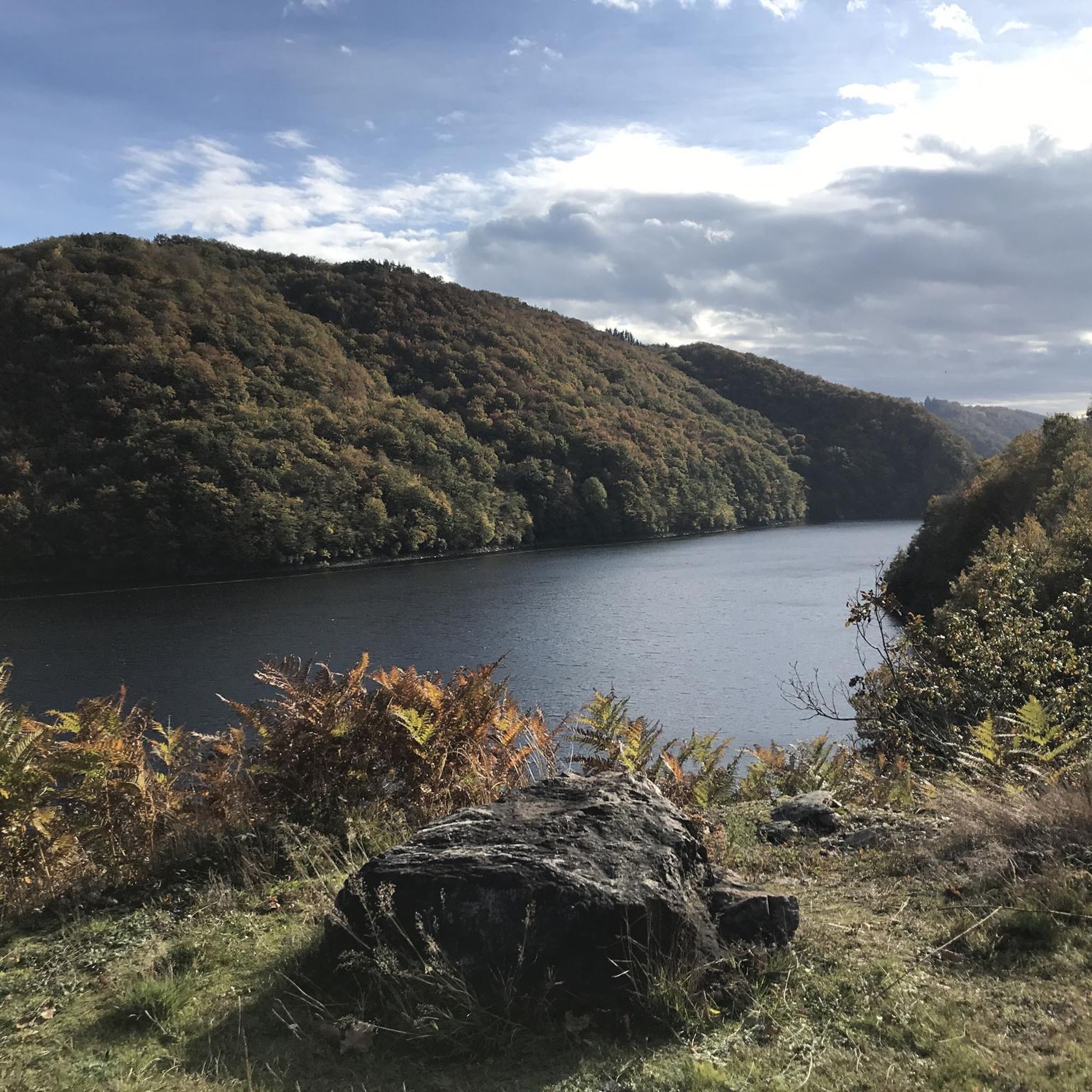
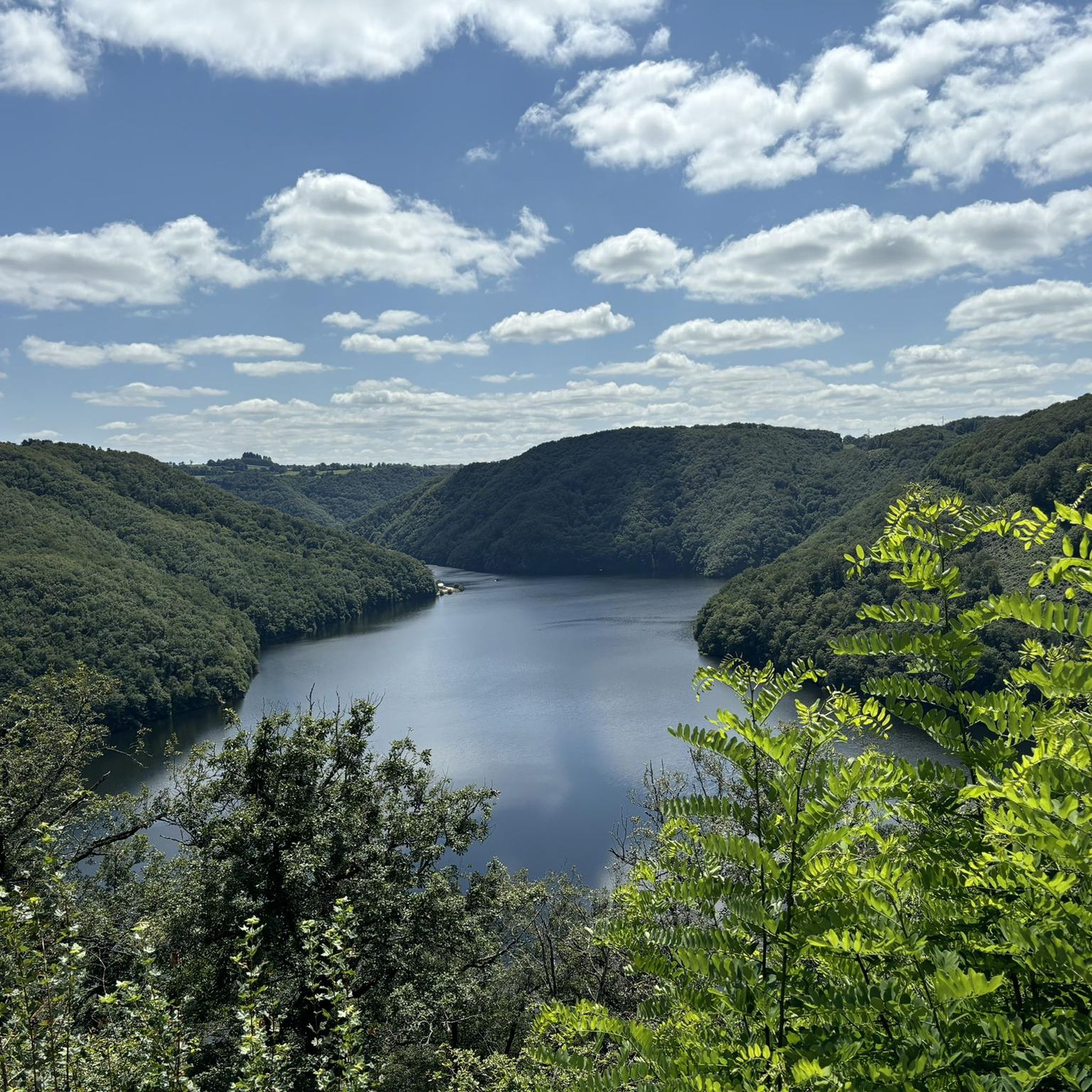
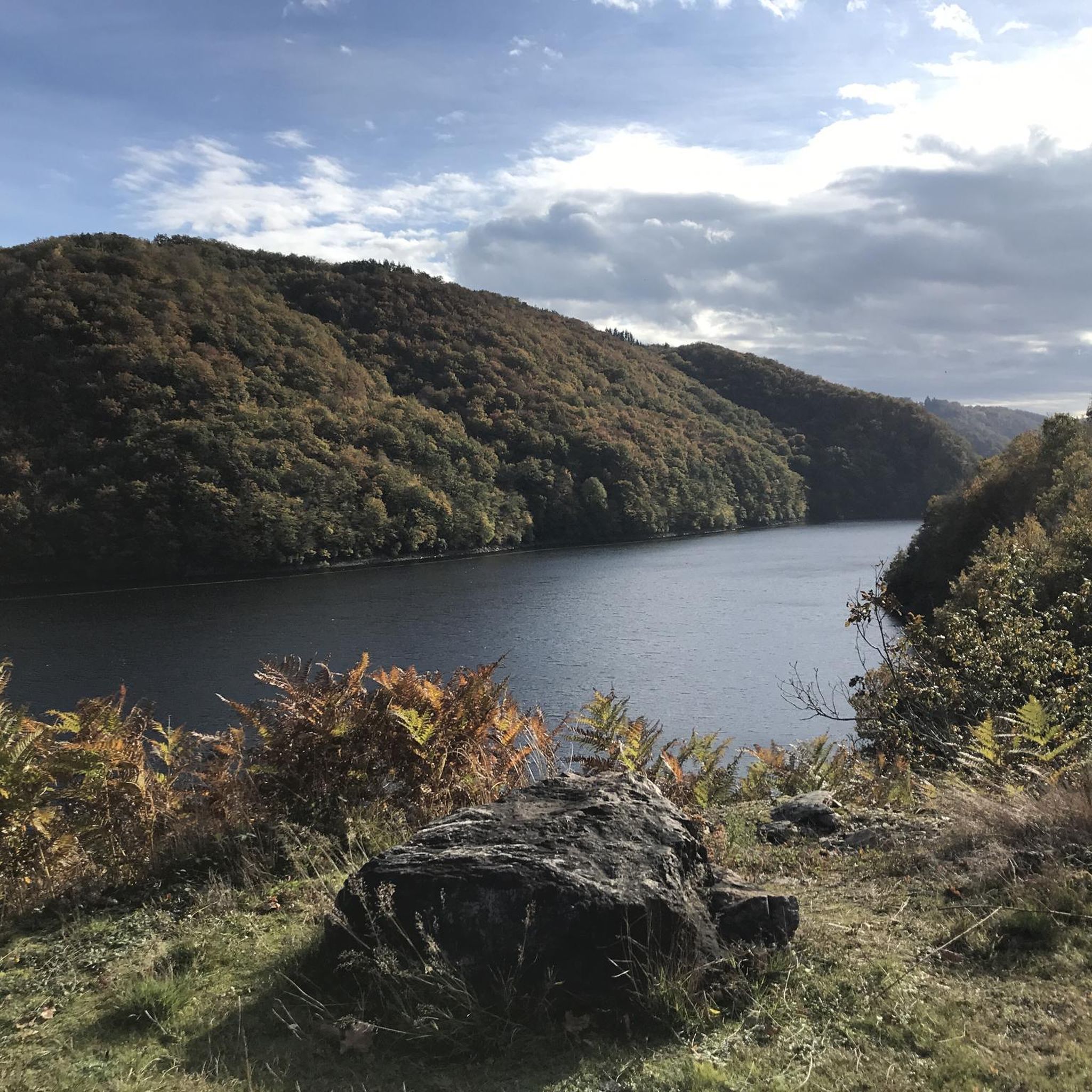

Other adventures around Saint-Pantaléon-De-Lapleau

Frequently Asked Questions
How many running routes are available in Saint-Pantaléon-De-Lapleau?
There are over 20 jogging routes around Saint-Pantaléon-De-Lapleau, offering a variety of distances and difficulties. These trails traverse a landscape characterized by dense forests and the dramatic gorges of the Luzège river.
What kind of terrain can I expect on the jogging trails in Saint-Pantaléon-De-Lapleau?
The terrain is generally wooded and steep, with elevations varying between 332 and 609 meters. You can expect undulating circuits with ascents and descents, providing a dynamic running experience through forests and along the edges of the Luzège gorges.
Are there any easy or beginner-friendly running routes?
While many routes feature significant elevation changes, there are moderate options available. For example, the Running loop from Neuvic is a moderate 3.8-mile (6.1 km) trail with less elevation gain, suitable for those looking for a less strenuous run.
Can I find circular jogging routes in the area?
Yes, many of the running paths in Saint-Pantaléon-De-Lapleau are circular. For instance, the Lac de Neuvic loop from Neuvic is a popular moderate 5.6-mile (9.0 km) circular route offering scenic views around the lake.
What scenic spots or landmarks can I see while running?
You can encounter several notable landmarks and natural features. Routes might take you near the historic Viaduc des Rochers Noirs, which spans the Luzège gorges, or offer views of the Neuvic Dam. The region's deep gorges and extensive forests also provide picturesque backdrops for your run.
Are the running trails suitable for families?
Many of the hiking circuits in the area can be adapted for family jogging, especially those described as family-friendly walks. The varied network of trails offers options for different fitness levels, so you can choose a route that suits your family's abilities, such as shorter, moderate loops.
Are the jogging routes dog-friendly?
Generally, trails in natural, wooded areas like those around Saint-Pantaléon-De-Lapleau are suitable for dogs, provided they are kept under control. It's always recommended to check local regulations or signage at trailheads regarding dogs, especially in protected areas.
What are the options for parking near the running trails?
While specific parking locations for each trailhead are not detailed, the presence of numerous hiking circuits and attractions suggests that parking is typically available near popular starting points in and around villages like Saint-Pantaléon-De-Lapleau and Neuvic. It's advisable to check maps for designated parking areas before your run.
What is the best time of year for jogging in Saint-Pantaléon-De-Lapleau?
The extensive forests provide shade, making spring, summer, and autumn pleasant for running. The varied topography and natural beauty are enjoyable year-round, but spring and autumn offer particularly comfortable temperatures and vibrant scenery. Winter running is also possible, though some trails might be more challenging due to weather conditions.
What do other runners say about the trails in Saint-Pantaléon-De-Lapleau?
The running routes in Saint-Pantaléon-De-Lapleau are highly rated by the komoot community, with an average score of 4.5 stars from over 9 reviews. Runners often praise the diverse terrain, the beauty of the dense forests, and the dramatic scenery of the Luzège gorges.
Are there any long-distance or challenging running routes?
Yes, for experienced runners seeking a challenge, there are several difficult and long-distance options. The Point de vue du Barrage loop from Chalvignac is a demanding 39.4-mile (63.5 km) trail with significant elevation gain, offering a rigorous workout through the rugged landscape.
Are there routes that pass by water features like lakes or rivers?
Absolutely. The region is defined by the deep gorges of the Luzège river, and many routes offer views along its banks. Additionally, the Lac de Neuvic loop from Neuvic provides a beautiful running experience around the lake, with opportunities to enjoy the water scenery.
Are there any running routes that go through forests?
Yes, Saint-Pantaléon-De-Lapleau is situated in a heavily wooded area, and many running routes lead through extensive forests. These shaded paths offer a tranquil environment and a refreshing experience amidst impressive trees, ideal for a natural running surface.
Most popular routes around Saint-Pantaléon-De-Lapleau
Most popular attractions around Saint-Pantaléon-De-Lapleau

Get inspired with the komoot mobile app


Explore more
Browse the best Running Trails & Routes in other regions.
