The best mountain hikes in Mansfeld-Südharz
5.0
(3)
7
hikers
6
hikes
Mountaineering in Mansfeld-Südharz offers challenging routes within the eastern Harz Foreland and Southern Harz region. The landscape features a unique Karst Landscape of the Southern Harz Nature Park, characterized by sinkholes, dolines, and distinctive rock formations. This hilly terrain, including the deep-cut Thyra River Valley and extensive beech forests, provides varied conditions for strenuous outdoor activity. Significant elevation changes and rugged karst formations define the mountaineering experience in this area.
Best mountaineering routes in Mansfeld-Südharz
- The most popular mountaineering route…
Last updated: September 30, 2026
5.0
(1)
2
hikers
Hard mountaineering route. Good fitness required. Sure-footedness, sturdy shoes and alpine experience required.
1
hikers
Moderate mountaineering route. Good fitness required. Mostly accessible paths. Sure-footedness required.

1
hikers
12.5km
03:38
250m
250m
Hard mountaineering route. Good fitness required. Sure-footedness, sturdy shoes and alpine experience required.
1
hikers
19.7km
05:35
420m
420m
Hard mountaineering route. Very good fitness required. Mostly accessible paths. Sure-footedness required.
5.94km
01:44
140m
140m
Moderate mountaineering route. Great for any fitness level. Mostly accessible paths. Sure-footedness required.
Our route recommendations are based on thousands of hikes, rides, and runs completed by other people on komoot.
Start today with a free account
Your next adventure awaits.
Popular around Mansfeld-Südharz

Mountain Hikes around Südharz
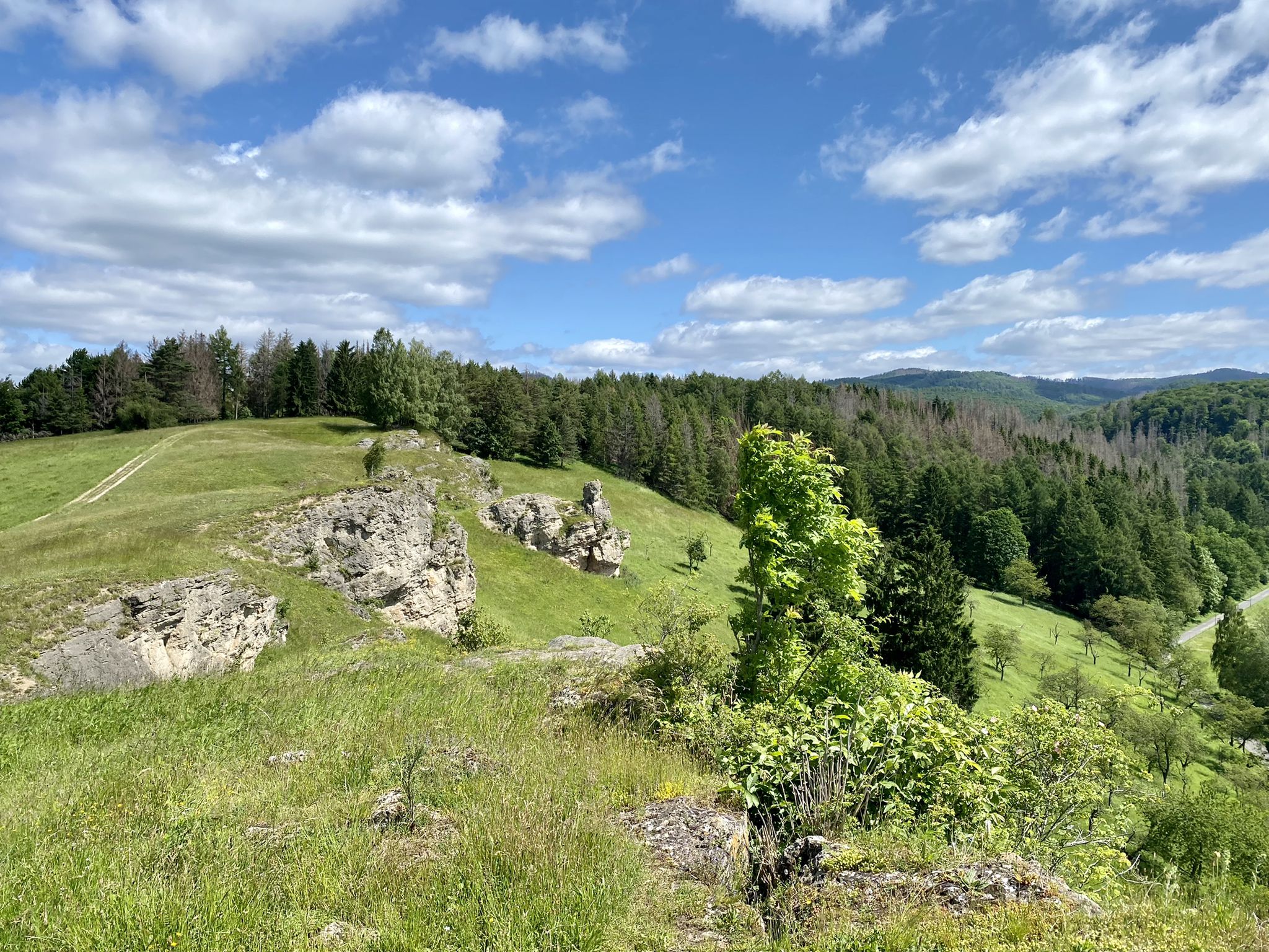
Karst Trail in Germany's Southern Harz Mountains – Where Water Meets Limestone
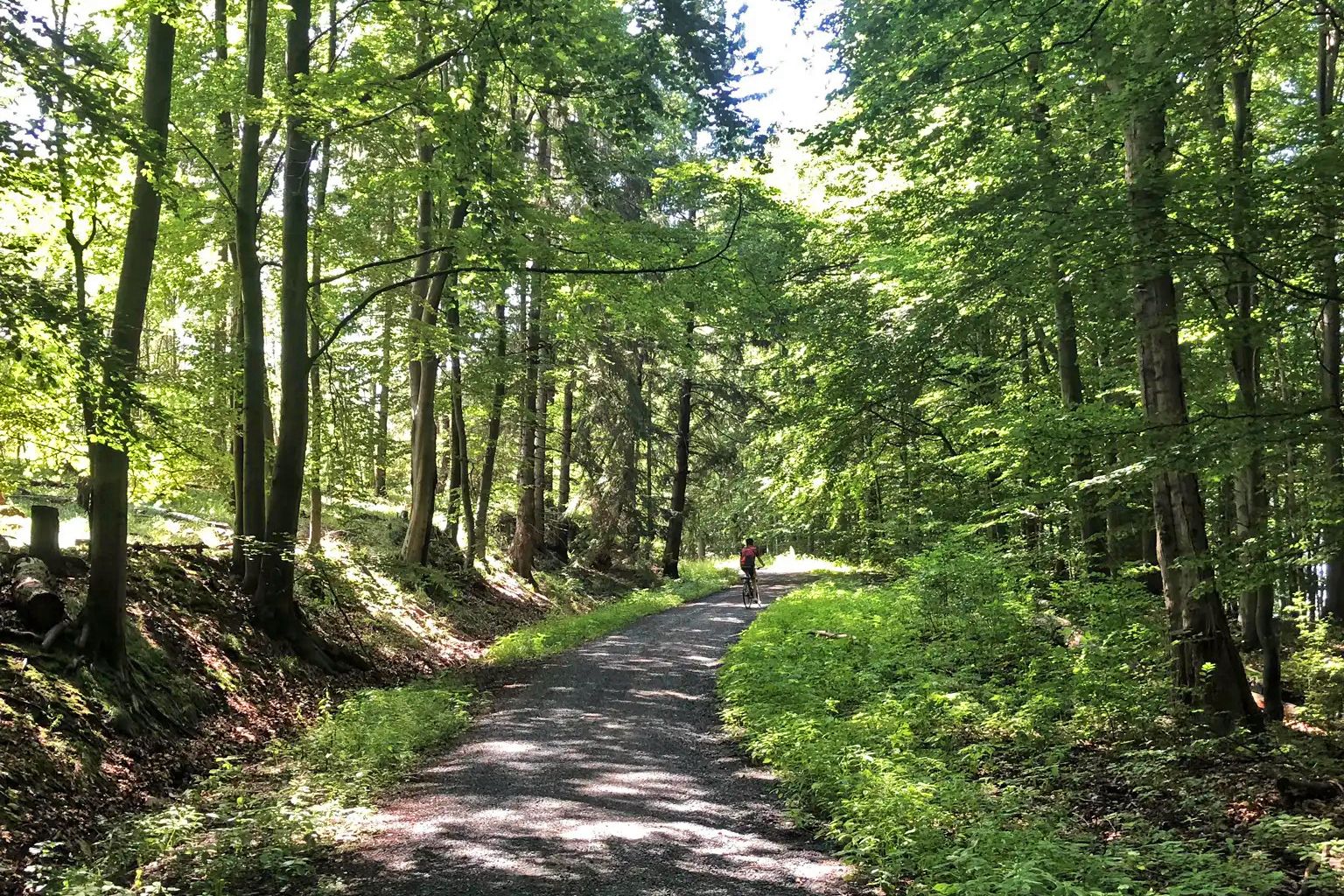
The Harz-Rundweg – once around the low mountain range in the Harz foreland
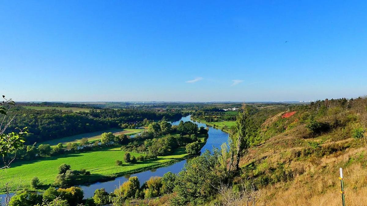
The National Natural Landscapes in Saxony-Anhalt
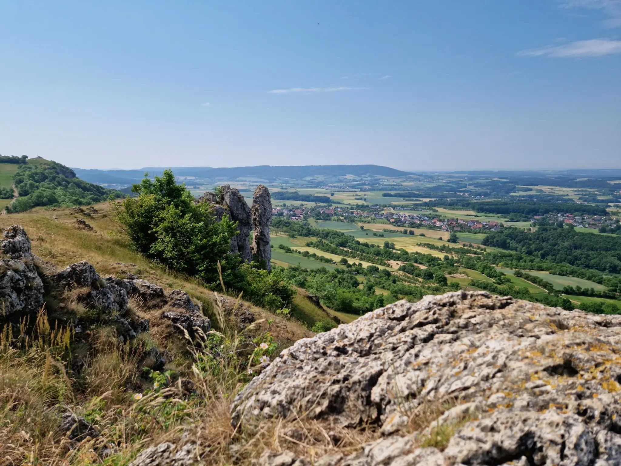
Ten fantastic hikes throughout Germany
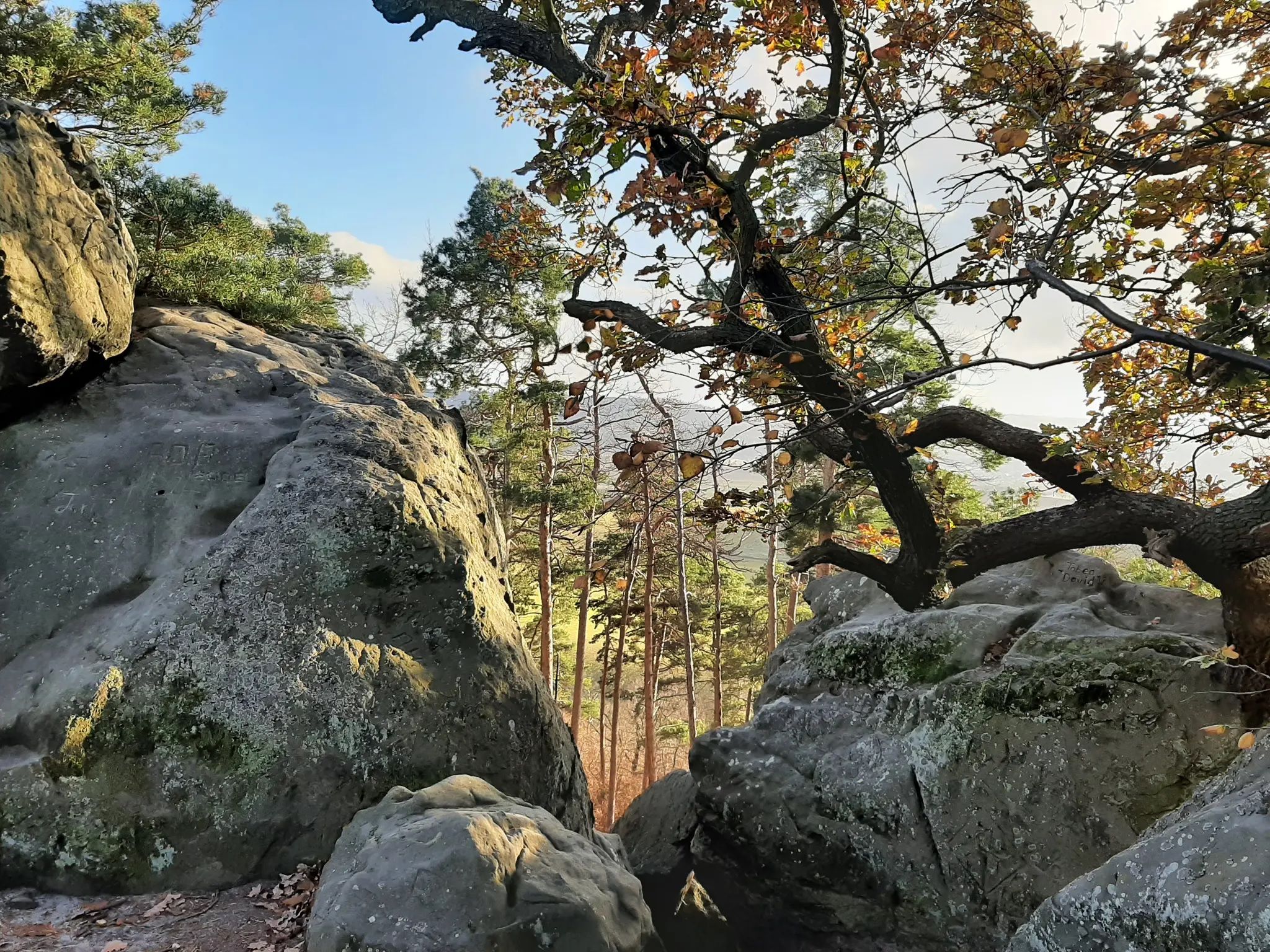
Legendary hikes in the Harz Mountains
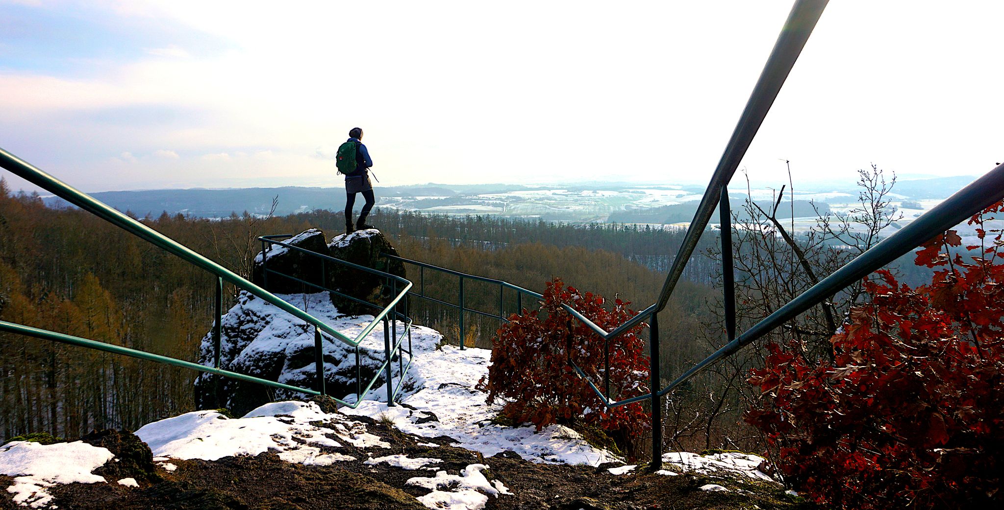
My 25 most beautiful Highlights in the Harz
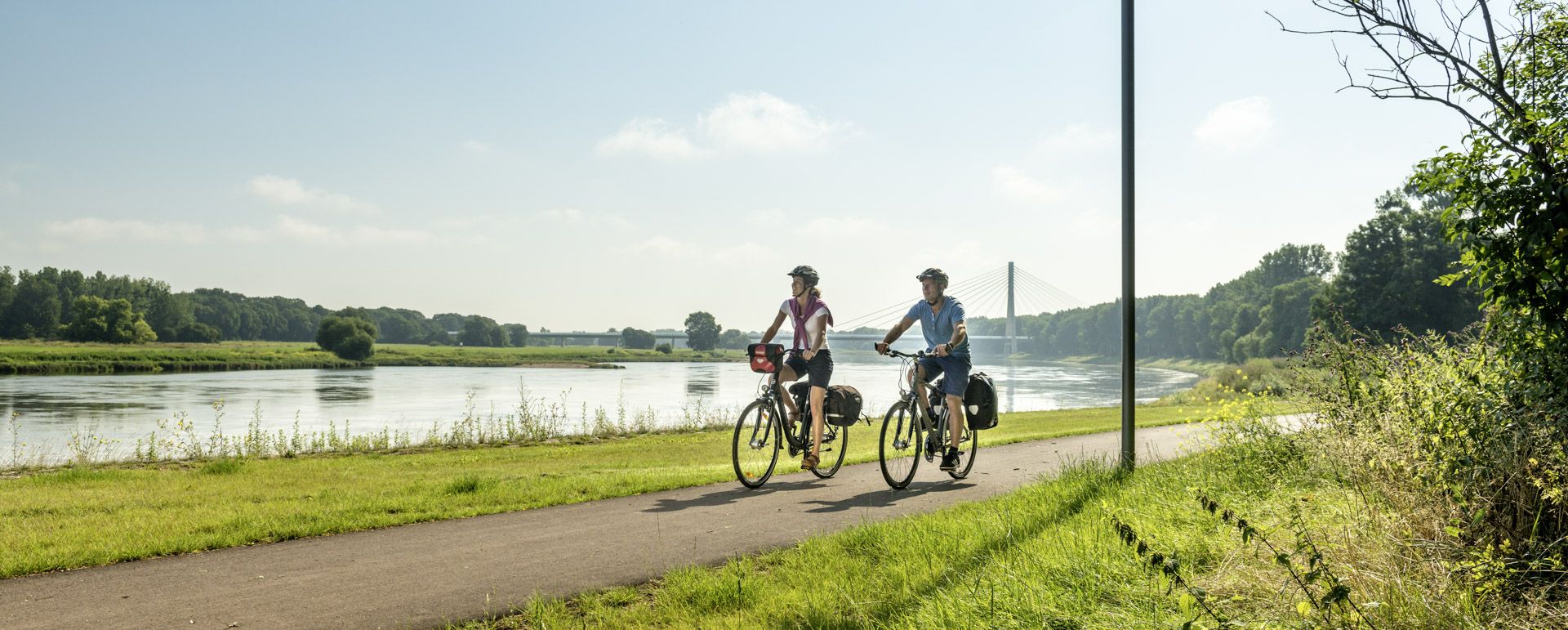
Cycling in Saxony-Anhalt – Where nature and culture combine
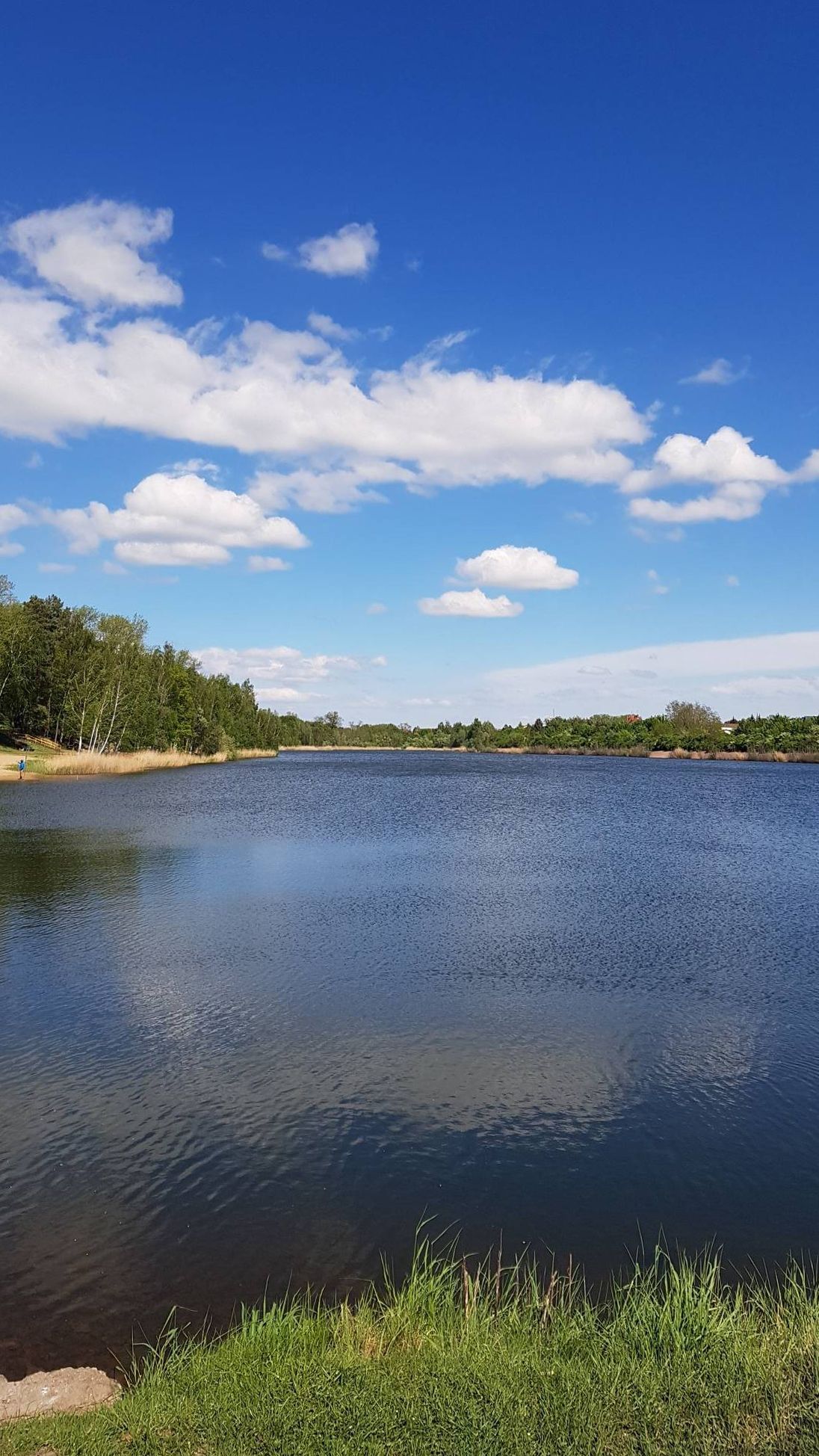
The most beautiful swimming lakes in Saxony-Anhalt
Explore Germany’s mining history — explore the Harz Mountains
Other adventures in Mansfeld-Südharz


Tips from the Community

Beautiful view into the wide country.
0
0

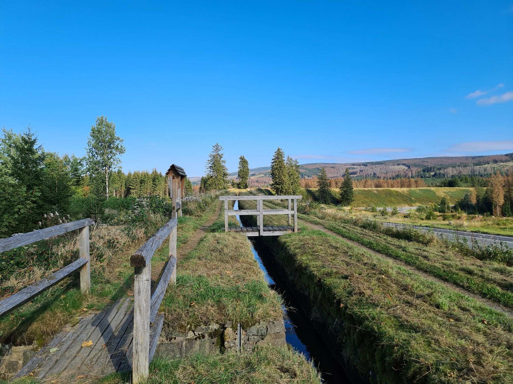
the dilapidated bridge is closed, but a path next to the bridge also leads over the stream
0
0

Very quiet corner. We hardly met any other hikers. The view from the tower is fantastic. You can see all the way to the Thuringian Forest, the Kyffhäuser Monument, and of course also the Brocken and the Wurmberg. And all this for free. Absolute recommendation!
0
0

At the upper path, the footbridge is closed, but you can get across via a temporary bridge/footbridge! So don't take the detour! We got through without problems in good dry weather, in rain or wet weather it could be slippery, walk carefully!
0
0

That's not a waterfall, it's just a silly pipe. 0 out of 10 stars.
0
0

nice cozy and quiet corner, the tower also seems to offer a great view (unfortunately it was too high for me) 😎👍
0
0

Pure spring awakening! Discover the fragrant wild garlic meadows in the South Harz Nature Park. A walk or a short hike through lush meadows and light forests, where you can experience the aromatic wild garlic in its natural habitat. Perfect for nature lovers, photography enthusiasts, and anyone who wants to enjoy the fresh air and colors of the South Harz.
0
0

Beautiful view over the alpine landscape.
1
0
Frequently Asked Questions
What kind of terrain can I expect on mountaineering routes in Mansfeld-Südharz?
Mansfeld-Südharz is characterized by a unique Karst Landscape with sinkholes, dolines, and distinctive rock formations, especially within the Southern Harz Nature Park. You'll encounter a hilly landscape, deep-cut river valleys like the Thyra, and extensive beech forests. Routes often feature significant elevation changes, providing a challenging and varied experience.
Are there any circular mountaineering routes in Mansfeld-Südharz?
Yes, many routes in Mansfeld-Südharz are designed as loops, allowing you to start and finish in the same location. An example is the challenging Goose's Beak – Three-valley view (HWN 93) loop from Ilfeld, which covers 4.7 miles (7.5 km) with over 900 feet (276 meters) of elevation gain.
What are some notable landmarks or viewpoints along the mountaineering trails?
The region offers several interesting landmarks and viewpoints. You can find the impressive Heimkehle Show Cave, a significant natural attraction. For panoramic vistas, consider routes that lead to the Josephskreuz on Mount Auerberg, or explore the area around the Stolberg Historic Old Town, which is deeply embedded in the karst landscape.
Are there any moderate mountaineering routes suitable for those building experience?
Yes, while many routes are difficult, there are also moderate options. For instance, the Poppenberg Tower (HWN 92) – Three-valley view (HWN 93) loop from Ilfeld is a moderate 6.7 miles (10.8 km) route with over 1,300 feet (410 meters) of elevation gain, offering a good challenge without requiring advanced alpine experience.
What is the best time of year for mountaineering in Mansfeld-Südharz?
The spring and autumn months generally offer the most pleasant conditions for mountaineering in Mansfeld-Südharz, with milder temperatures and vibrant natural scenery. Summer can also be suitable, but be prepared for warmer weather. Winter mountaineering is possible but requires appropriate gear and experience due to potential snow and ice, especially on higher elevations and challenging terrain.
Are there any family-friendly mountaineering options in the region?
While many routes are challenging, some sections or shorter loops might be suitable for active families with older children. The region's diverse landscape, including the Karst Trail and areas around Stolberg, offers varied experiences. For a moderate option, consider the Questenberg Ruins – Dinsterbach Valley loop from Questenberg, which is 4.1 miles (6.6 km) long.
What do other mountaineers say about the routes in Mansfeld-Südharz?
The mountaineering routes in Mansfeld-Südharz are highly rated by the komoot community, with an average score of 5.0 stars from over 3 reviews. Users often praise the unique karst landscape, the challenging elevation changes, and the opportunity to explore the diverse natural features of the Southern Harz region.
How many mountaineering routes are available in Mansfeld-Südharz?
There are currently 5 mountaineering routes listed in Mansfeld-Südharz, ranging from moderate to difficult. These routes provide a variety of experiences across the region's unique karst and hilly terrain.
Are there any routes that offer significant elevation gain for a more strenuous workout?
Absolutely. Many routes in Mansfeld-Südharz feature substantial elevation gains. For example, the difficult Three-valley view (HWN 93) – Ilfeld Barbecue Area loop from Naturpark Südharz boasts over 1,500 feet (461 meters) of ascent, providing a demanding physical challenge.
Where can I find parking for mountaineering routes in Mansfeld-Südharz?
Many trailheads, especially those near towns like Stolberg or Ilfeld, offer designated parking areas. It's advisable to check specific route descriptions for detailed parking information. For instance, routes starting from Questenberg or Sophienhof, such as the Carlsturm Observation Tower – Walzhaus Shelter loop from Sophienhof, typically have nearby parking facilities.
Are there any historical sites or castles to see near the mountaineering trails?
Yes, the region is rich in history. You can explore the charming Stolberg Historic Old Town, which is a great starting point for many routes. Other historical points of interest include the Kyffhausen Lower Castle and the Questenberg Ruins, which are part of a challenging loop trail.
Most popular routes in Mansfeld-Südharz
Most popular attractions in Mansfeld-Südharz

Get inspired with the komoot mobile app


Didn’t find what you were looking for?
Check out more Mountain Hikes & Routes throughout Mansfeld-Südharz below and find the perfect route in your destination.
Explore more
Browse the best Mountain Hikes & Routes in other regions.
