The best mountain hikes around Oberharz am Brocken
4.9
(84)
273
hikers
9
hikes
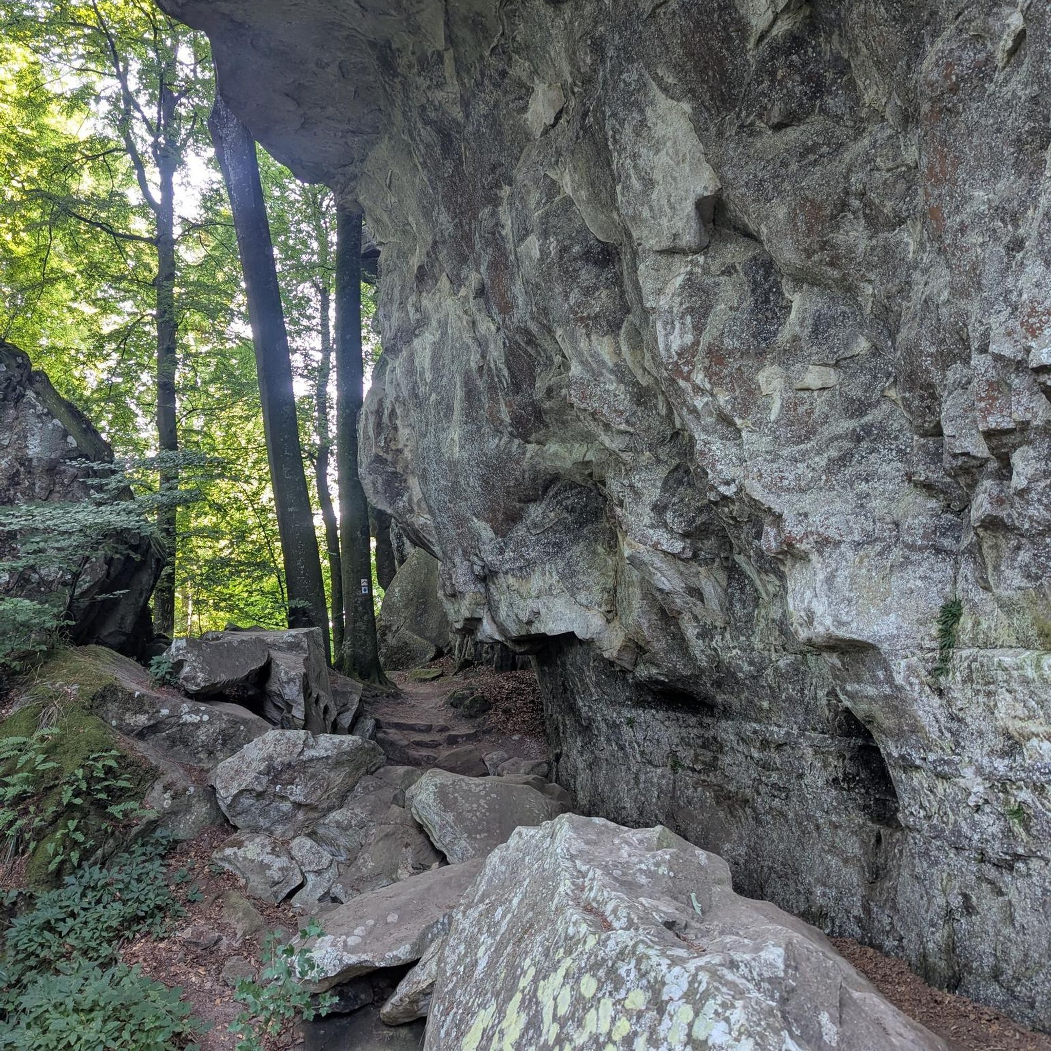
Mountaineering routes around Oberharz am Brocken are defined by the rugged terrain of the Harz National Park, centered around the Brocken mountain, Northern Germany's highest peak at 1,141 meters. The region features a distinctive subalpine microclimate, often shrouded in mist, and is characterized by granite formations and dense spruce forests. Challenging trails traverse valleys like the Ilsetal, with its cascades, and lead to striking rock formations such as the Devil's Wall. The landscape offers significant elevation changes and varied natural features suitable for robust outdoor pursuits.
Best mountaineering routes around Oberharz am Brocken
- The most popular mountaineering route is Teufelsmauer Ridge Trail – Ascent to Grandfather Rock loop from Blankenburg (Harz), a 4.4 miles (7.1 km) trail that takes 2 hours 14 minutes to complete. This route explores the striking rock formations of the Devil's Wall, including the notable Grandfather Rock.
- Another top favourite among local mountaineers is Hexentanzplatz Thale – Ascent to Hexentanzplatz loop from Allrode, a difficult 10.7 miles (17.2 km) path. This route offers a challenging ascent to Hexentanzplatz, providing expansive views over the Bode Valley.
- Local mountaineers also love the Hexentanzplatz Thale – Ascent to Hexentanzplatz loop from Rosstrappe, a 9.6 miles (15.4 km) trail leading through varied forest and rocky terrain, often completed in about 5 hours 33 minutes.
- Mountaineering around Oberharz am Brocken is defined by the subalpine conditions of the Brocken mountain, the granite formations of the Devil's Wall, and the lush Ilsetal Valley. The network offers options for different ability levels, from moderate paths to difficult ascents.
- The routes in Oberharz am Brocken are highly rated by the komoot community with an average score of 4.9 stars from more than 70 reviews. More than 260 mountaineers have used komoot to explore Oberharz am Brocken's varied terrain.
Last updated: September 29, 2026
5.0
(10)
46
hikers
7.27km
02:15
150m
150m
Moderate mountaineering route. Good fitness required. Mostly accessible paths. Sure-footedness required.
5.0
(8)
25
hikers
17.2km
05:30
470m
470m
Hard mountaineering route. Very good fitness required. Mostly accessible paths. Sure-footedness required.

4.9
(10)
30
hikers
Moderate mountaineering route. Good fitness required. Mostly accessible paths. Sure-footedness required.
5.0
(2)
7
hikers
Moderate mountaineering route. Good fitness required. Mostly accessible paths. Sure-footedness required.
5.0
(1)
4
hikers
4.64km
01:27
100m
100m
Moderate mountaineering route. Great for any fitness level. Mostly accessible paths. Sure-footedness required.
Get access to more routes and recommendations from other explorers.
Already have an account?
Our route recommendations are based on thousands of hikes, rides, and runs completed by other people on komoot.
Start today with a free account
Your next adventure awaits.
Popular around Oberharz am Brocken
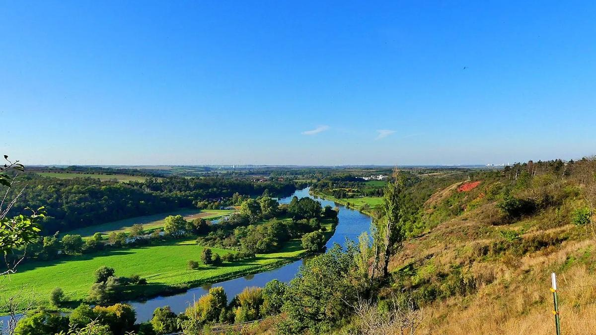
The National Natural Landscapes in Saxony-Anhalt
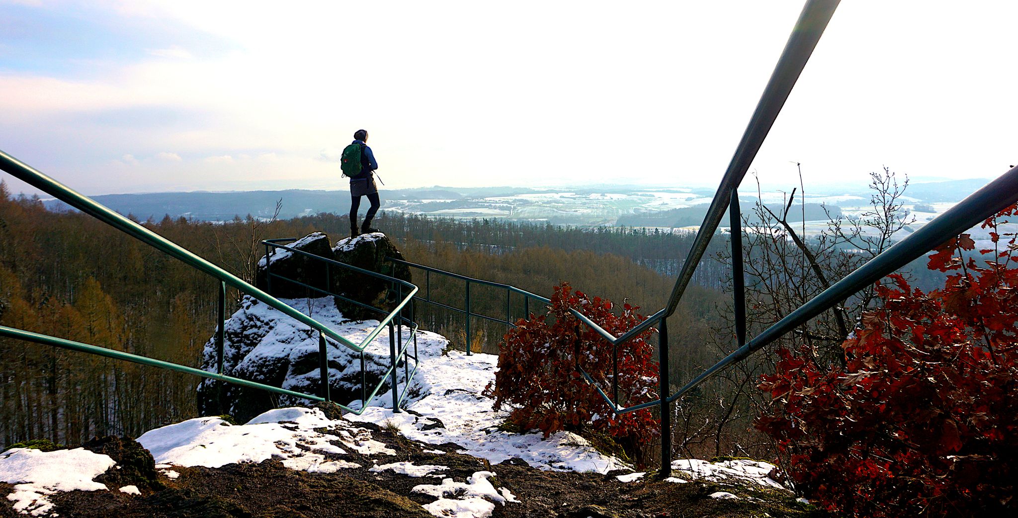
My 25 most beautiful Highlights in the Harz
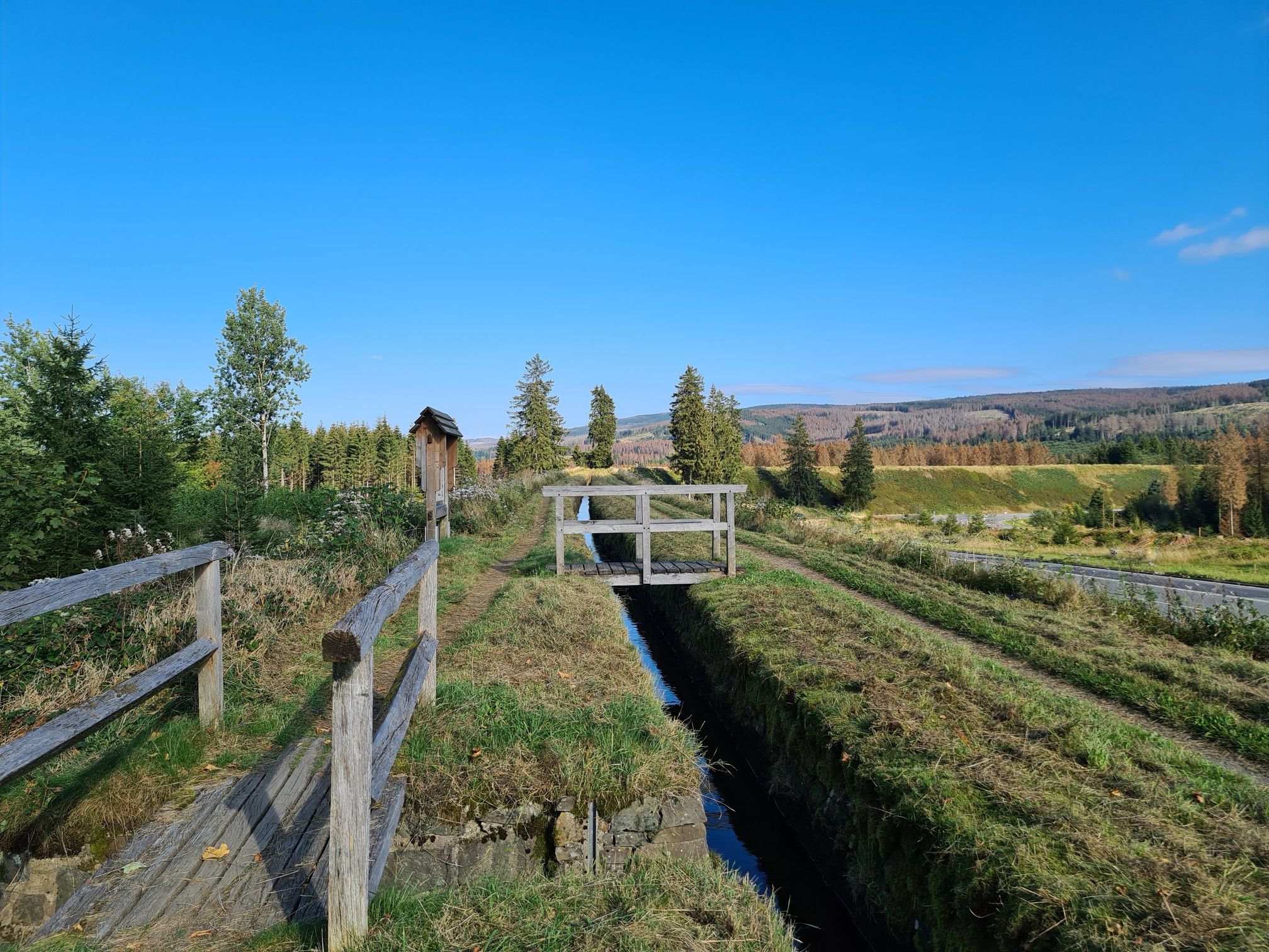
Explore Germany’s mining history — explore the Harz Mountains
Hiking around Oberharz am Brocken
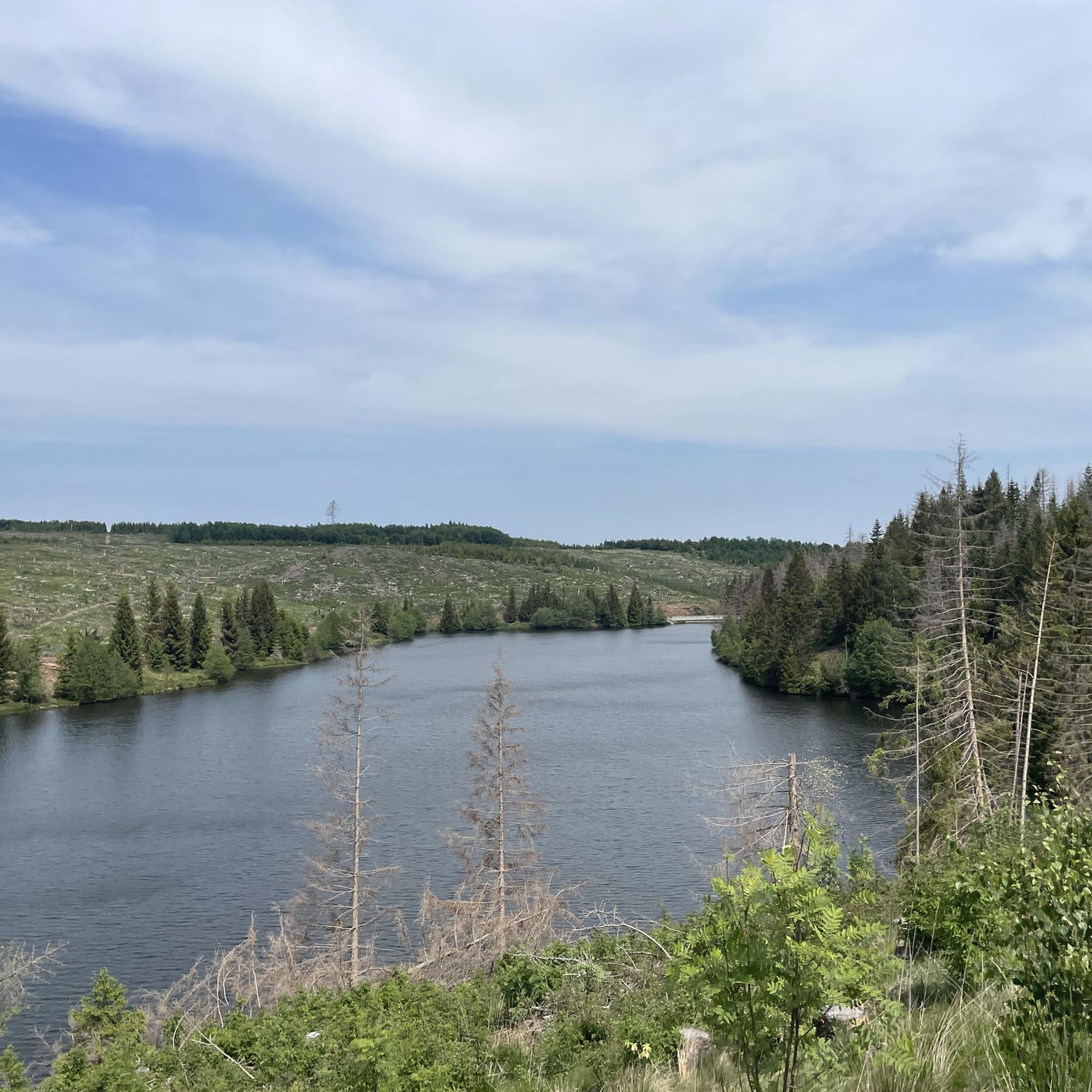
Road Cycling Routes around Oberharz am Brocken
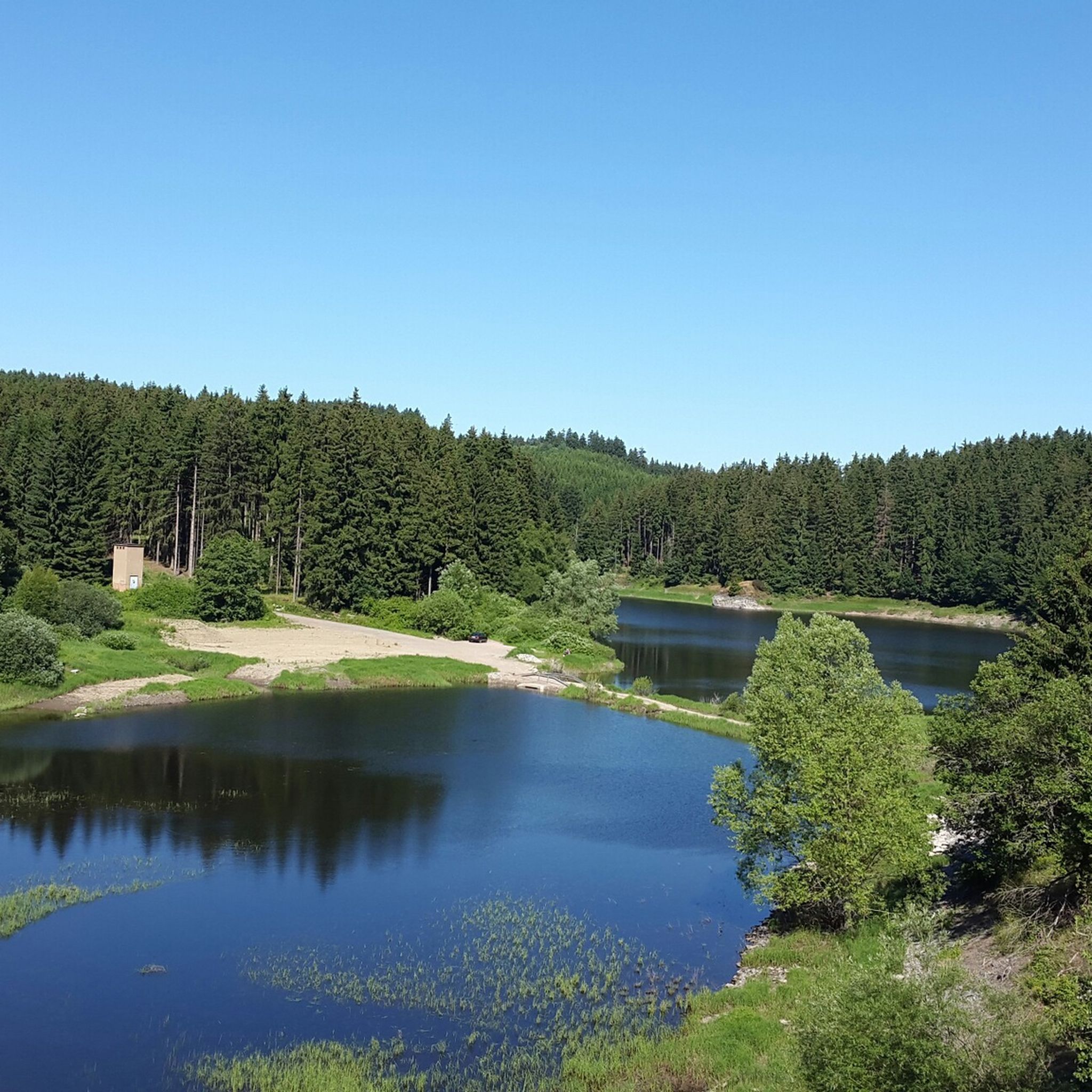
MTB Trails around Oberharz am Brocken
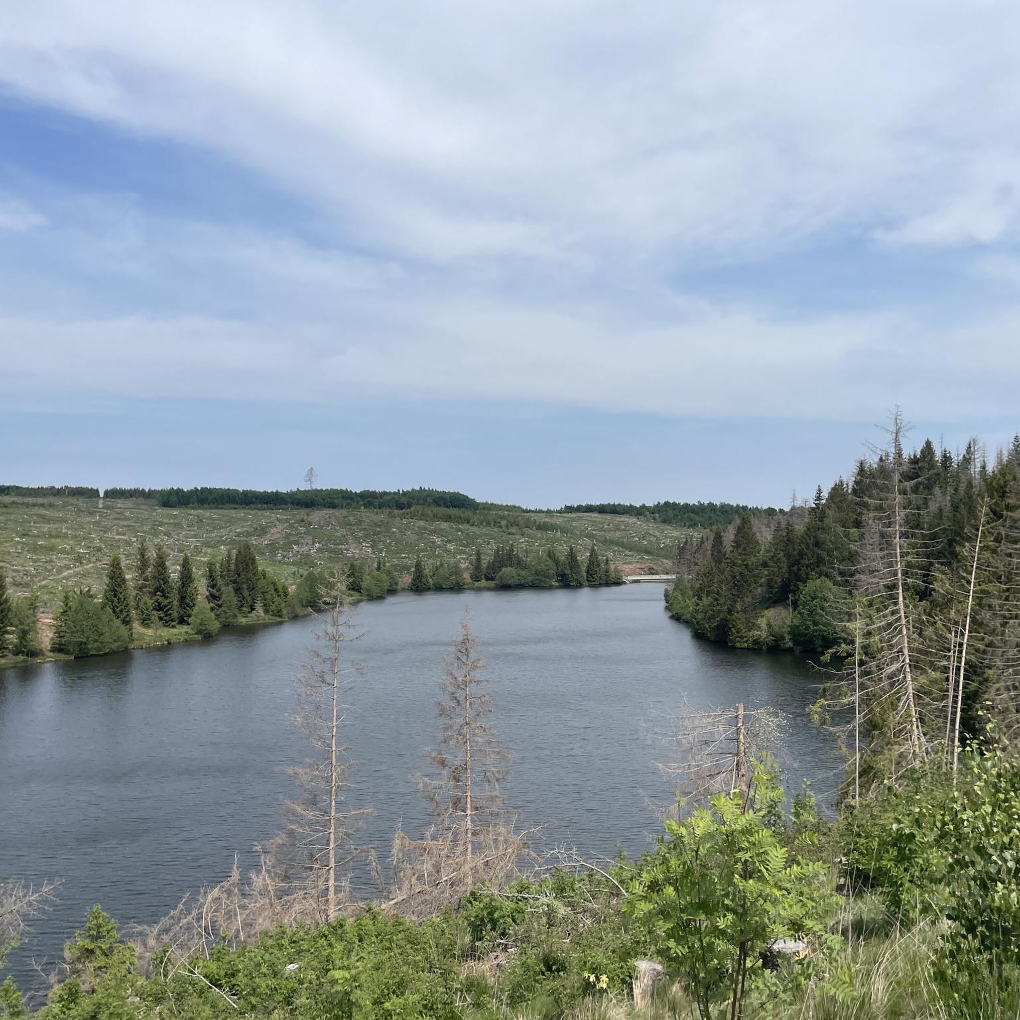
Cycling around Oberharz am Brocken
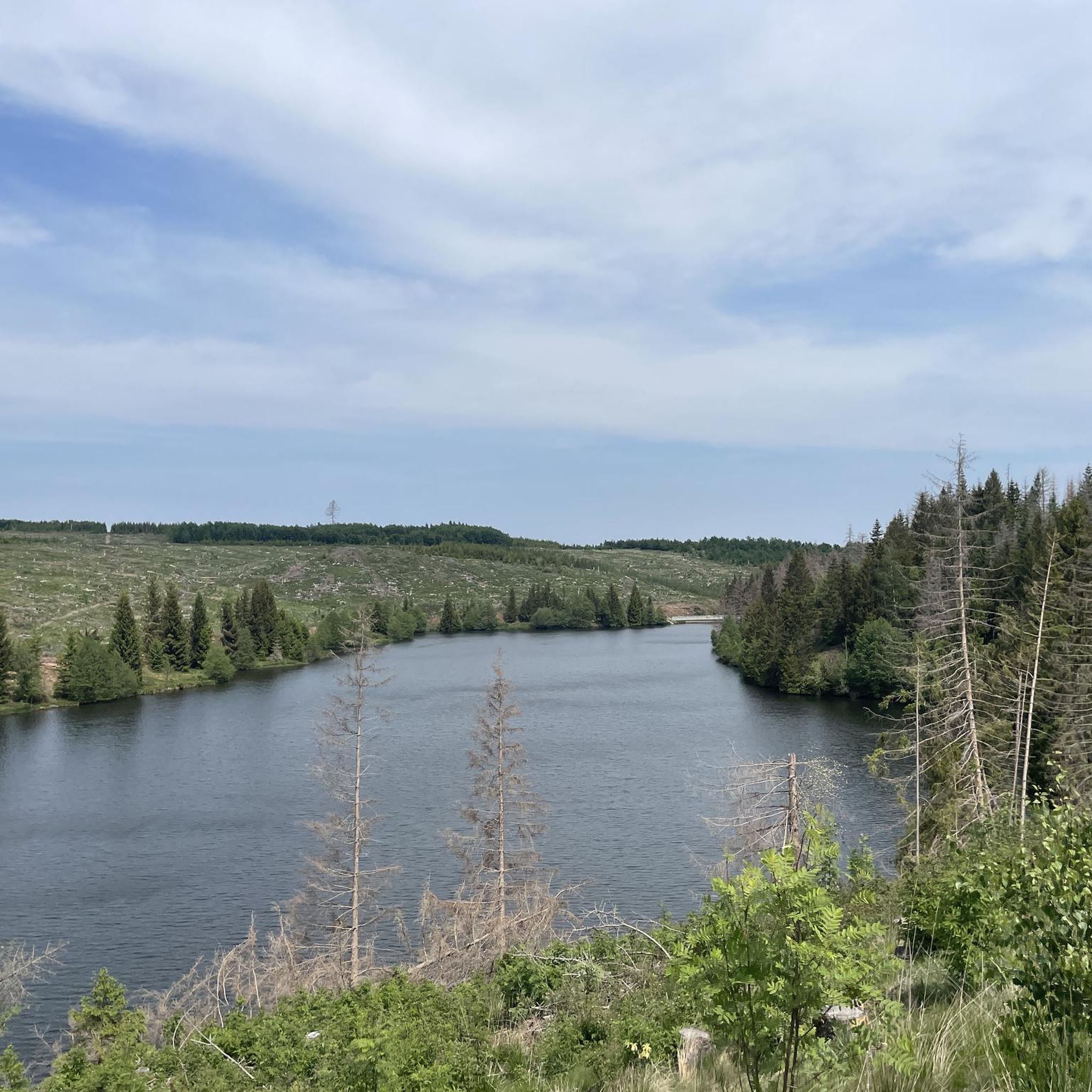
Running Trails around Oberharz am Brocken
Gravel biking around Oberharz am Brocken
Other adventures around Oberharz am Brocken


Tips from the Community

Where else outside the Alps can you climb up or down a via ferrata like this. Assuming you have a head for heights and surefootedness, this path offers the shortest connection between Rosstrappe and Bodetal.
0
0

Just a few minutes from Timmenrode. Very easy to reach for all ages. Very beautiful view where you can linger.
0
0
Great trail, short distance but a bit challenging in some places
0
0
Also serves as a shelter in the rain, in a short distance there is also a rest area that can be used as a shelter
0
0
Very nice trail to the Hamburg coat of arms
0
0
The trail is beautiful to hike and is rewarded with a great view.
0
0
beautiful path with very nice views.
0
0
Great tour along and through the Devil's Wall.
0
0
Frequently Asked Questions
What kind of challenges can I expect on mountaineering routes in Oberharz am Brocken?
Mountaineering routes in Oberharz am Brocken offer a range of challenges, from moderate paths to very difficult ascents. The region is known for its rugged terrain, significant elevation changes, and sometimes steep, rocky trails. For instance, routes like the Hexentanzplatz Thale – Ascent to Hexentanzplatz loop from Allrode involve substantial elevation gain and are rated as difficult. The area's highest peak, the Brocken, often presents subalpine conditions, including mist and fog, adding to the adventurous feel.
How can I reach the summit of Brocken mountain?
The Brocken summit can be reached via numerous hiking trails of varying difficulty. For a challenging ascent, you might consider trails like the Eckerlochstieg or the Höllenstieg, which are known for their steep and rocky sections. Alternatively, for a less strenuous journey, the historic Brocken Railway offers a unique steam train experience directly to the top. From the summit, you can enjoy expansive views on clear days and visit the unique Brockengarten, an alpine botanical garden.
Are there any family-friendly mountaineering options in Oberharz am Brocken?
While many routes are challenging, there are options that can be enjoyed by families, especially those with some hiking experience. The area around the Devil's Wall, for example, features striking rock formations like the Großvaterfelsen, which is described as a 'climbing paradise for children.' A route like the Teufelsmauer Ridge Trail – Ascent to Grandfather Rock loop from Blankenburg (Harz) is a shorter, difficult route that explores these formations, but its length might be manageable for active families. Always check the specific route details for distance and elevation to ensure it suits your family's capabilities.
Can I bring my dog on the mountaineering trails in Oberharz am Brocken?
Yes, many trails in Oberharz am Brocken are dog-friendly, allowing you to enjoy the mountainous landscape with your canine companion. However, as much of the region is within the Harz National Park, it's crucial to keep your dog on a leash to protect wildlife and ensure a pleasant experience for all hikers. Always be mindful of your dog's fitness level, especially on longer or more challenging routes with significant elevation changes.
Are there circular mountaineering routes available in the region?
Yes, several mountaineering routes in Oberharz am Brocken are designed as loops, allowing you to start and end at the same point. Examples include the Teufelsmauer Ridge Trail – Ascent to Grandfather Rock loop from Blankenburg (Harz) and the La Viershöhe (HWN 72) – Maiden's Bridge over the Bode loop from Hexentanzplatz. These circular routes offer varied scenery without the need for shuttle arrangements.
Where can I find waterfalls or particularly scenic natural features?
The Ilsetal Valley is a prime location for experiencing scenic natural features, especially waterfalls. The Ilse river originates on the Brocken and descends through this romantic valley, creating numerous small and large cascades. The roaring water and rocky shores make it an inviting area for exploration. Additionally, the striking rock formations of the Devil's Wall, including the Großvaterfelsen, offer magnificent views and unique geological sights.
What do other mountaineers enjoy most about the routes in Oberharz am Brocken?
The mountaineering routes in Oberharz am Brocken are highly rated by the komoot community, with an average score of 4.9 stars from over 70 reviews. Mountaineers often praise the diverse terrain, the challenging ascents, and the breathtaking views, especially from the Brocken summit. The unique subalpine microclimate and the rich natural environment of the Harz National Park are also frequently highlighted as key attractions.
What are some notable landmarks or viewpoints along the mountaineering routes?
Beyond the Brocken summit itself, which offers expansive views, you'll find several other significant landmarks and viewpoints. The Devil's Wall features the impressive Großvaterfelsen, providing magnificent panoramas. Another excellent viewpoint is Hoher Kleef (HWN 88). The old television tower, Sender Brocken, also serves as an observation deck, offering another unique perspective of the surroundings.
Are there any moderate mountaineering routes for those seeking a less strenuous experience?
Yes, while many routes are challenging, there are moderate options available. For example, the La Viershöhe (HWN 72) – Maiden's Bridge over the Bode loop from Hexentanzplatz is rated as moderate and offers a rewarding experience without the extreme demands of some of the more difficult trails. These routes still provide significant elevation changes and beautiful scenery, suitable for those looking for a good workout without an overly strenuous climb.
What is the best time of year for mountaineering in Oberharz am Brocken?
The best time for mountaineering largely depends on your preference for conditions. Spring to autumn (May to October) generally offers the most favorable weather for hiking, with lush forests and clearer paths. However, the Brocken mountain experiences a unique subalpine microclimate, often having snow cover from September to May and being shrouded in mist for up to 300 days a year. For those seeking a more rugged, atmospheric experience, late autumn or early spring can be particularly dramatic, but require appropriate gear for colder, potentially wet conditions.
How many mountaineering routes are available in Oberharz am Brocken?
There are at least 9 dedicated mountaineering routes around Oberharz am Brocken featured in this guide, ranging from moderate to difficult. These routes are part of a larger network of trails within the Harz National Park, offering diverse options for exploring the region's unique landscapes and challenging terrain.
Are there any places to eat or rest near the trails?
Yes, you'll find several options for refreshments and rest near the mountaineering trails. For instance, the Todtenrode Inn (HWN 065) and the Königsruhe Inn are highlighted as places to eat. The Brocken summit also features a hotel and restaurant, providing facilities at the highest point. It's always a good idea to check opening times, especially outside of peak season.
What should I wear for mountaineering in the Harz mountains?
Given the Harz mountains' varied terrain and the Brocken's unique microclimate, it's essential to dress in layers. Even in summer, conditions can change rapidly, with mist, fog, and cooler temperatures common at higher elevations. Waterproof and windproof outer layers are highly recommended, along with sturdy hiking boots with good ankle support. Always carry extra layers, a hat, and gloves, regardless of the season, especially when ascending the Brocken.
Most popular routes around Oberharz am Brocken
Most popular attractions around Oberharz am Brocken

Get inspired with the komoot mobile app


Explore more
Browse the best Mountain Hikes & Routes in other regions.
