The best walks and hikes around Goudelancourt-Lès-Berrieux
4.2
(145)
688
hikers
54
hikes
Hiking around Goudelancourt-Lès-Berrieux offers exploration of a rural landscape characterized by gently undulating terrain, with elevations ranging from 72 to 200 meters. The region features varied natural environments, including agricultural lands and proximity to wetlands and heathlands found in nearby natural reserves. This area provides temperate conditions suitable for outdoor activities, with waterways contributing to the local ecosystem.
Best hiking trails around Goudelancourt-Lès-Berrieux
- The most popular hiking route is Church of Mauregny en Haye loop from Mauregny-en-Haye, a 5.4…
Last updated: July 5, 2026
4.8
(5)
14
hikers
8.85km
02:30
180m
180m
Moderate hike. Good fitness required. Easily-accessible paths. Suitable for all skill levels.
4.3
(4)
10
hikers
12.5km
03:28
220m
220m
Moderate hike. Good fitness required. Easily-accessible paths. Suitable for all skill levels.

Sign up for free
4.3
(4)
8
hikers
14.9km
04:11
290m
290m
Moderate hike. Good fitness required. Easily-accessible paths. Suitable for all skill levels.
4.5
(2)
8
hikers
10.00km
02:47
190m
190m
Moderate hike. Good fitness required. Easily-accessible paths. Suitable for all skill levels.
2
hikers
10.7km
02:51
120m
120m
Moderate hike. Good fitness required. Easily-accessible paths. Suitable for all skill levels.
Get access to more routes and recommendations from other explorers.
Sign up for free
Already have an account?
Our route recommendations are based on thousands of hikes, rides, and runs completed by other people on komoot.
Start today with a free account
Your next adventure awaits.
Login or Signup

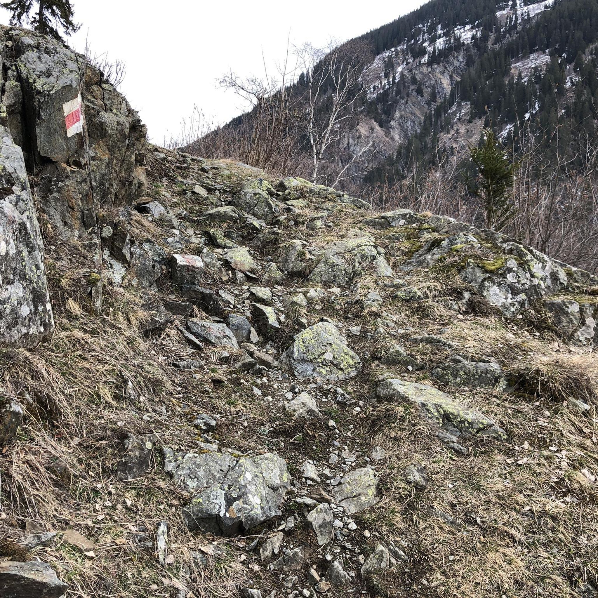
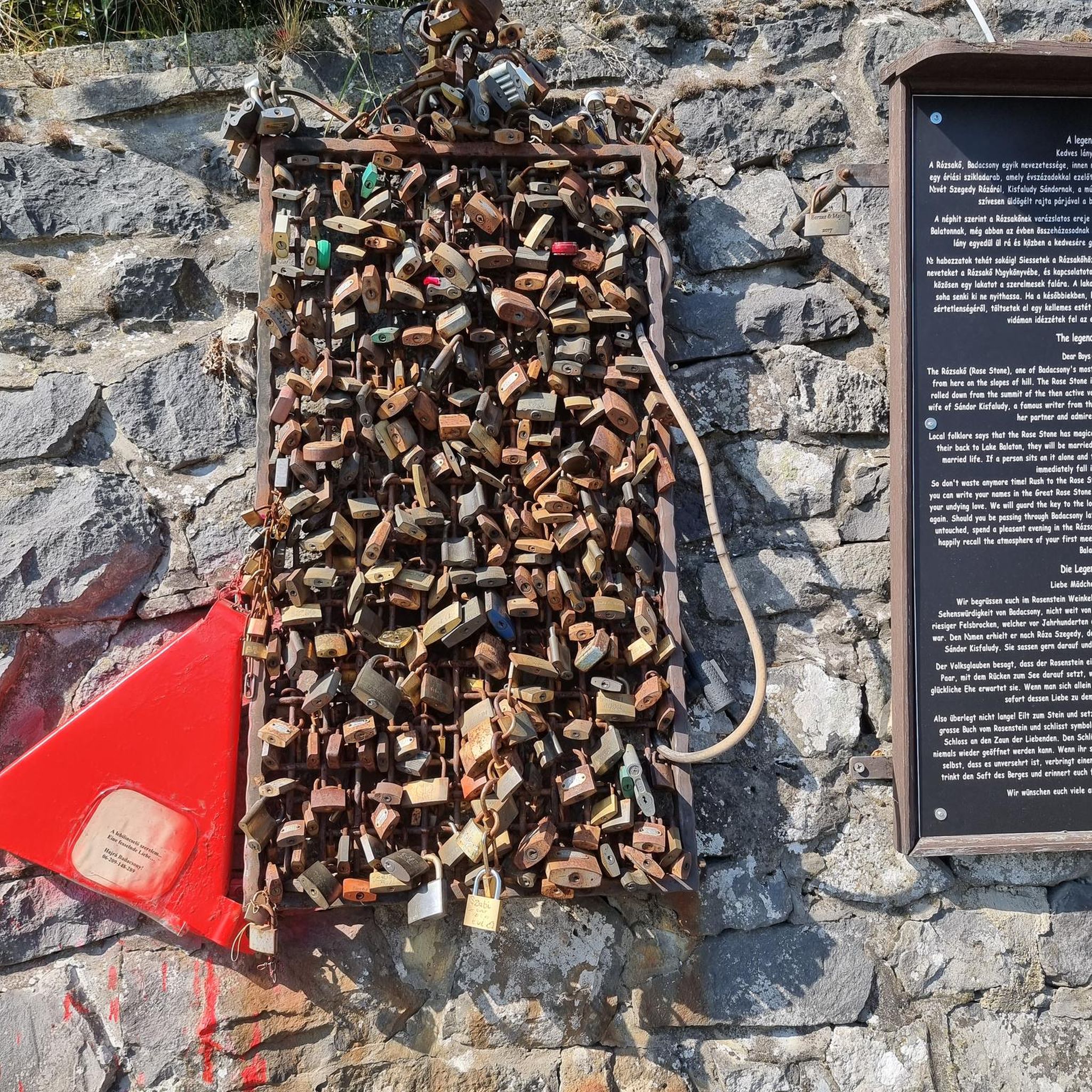


Tips from the Community


Frequently Asked Questions
What kind of terrain can I expect on hiking trails around Goudelancourt-Lès-Berrieux?
The terrain around Goudelancourt-Lès-Berrieux is generally rural and gently undulating. Elevations range from a minimum of 72 meters to a maximum of 200 meters, meaning you'll encounter varied landscapes without extreme inclines. The area features agricultural lands and is close to wetlands and heathlands, offering diverse natural environments.
How many hiking routes are available in the Goudelancourt-Lès-Berrieux area?
There are over 45 hiking routes available around Goudelancourt-Lès-Berrieux. These include a mix of easy, moderate, and a few more challenging options to suit various fitness levels.
Are there any easy hiking trails suitable for beginners or casual walkers?
Yes, Goudelancourt-Lès-Berrieux offers 12 easy hiking routes. These trails are typically shorter, with less elevation gain, making them perfect for beginners or those looking for a relaxed stroll through the countryside.
What are some notable landmarks or attractions I can see while hiking in the region?
While hiking, you can explore several interesting sites. The historic Vauclair Abbey Ruins are a significant attraction. Other points of interest include the Ferme d'Hurtebise War Memorial and the Napoleon Statue in Craonne. You might also encounter the peaceful Monks' Pond.
Are there any circular hiking routes available?
Yes, many of the trails in the area are circular, allowing you to start and end at the same point. For example, the Church of Mauregny en Haye loop from Mauregny-en-Haye is a popular moderate circular route exploring the rural countryside.
What is the best time of year to go hiking in Goudelancourt-Lès-Berrieux?
The region experiences a temperate, degraded oceanic climate, making it generally favorable for outdoor activities throughout much of the year. Spring and autumn often offer pleasant temperatures and beautiful scenery, while summer provides longer daylight hours. Always check local weather conditions before heading out.
Are the hiking trails in Goudelancourt-Lès-Berrieux suitable for families with children?
Yes, with 12 easy routes, there are plenty of options suitable for families. These trails are generally on accessible paths with gentle inclines, making them enjoyable for all ages. Consider routes that are up to 2 hours long for a comfortable family outing.
Can I bring my dog on the hiking trails?
While specific regulations for dogs on trails are not detailed, generally, dogs are welcome on many rural trails in France, often on a leash. It's always best to be prepared to keep your dog under control and to clean up after them. Check local signage at trailheads for any specific restrictions.
What do other hikers enjoy most about the trails in Goudelancourt-Lès-Berrieux?
The trails in Goudelancourt-Lès-Berrieux are highly rated by the komoot community, with an average score of 4.2 stars from over 100 reviews. Hikers often praise the rural charm, varied landscapes, and the peaceful, gently undulating terrain that makes for enjoyable walks.
How long do the hiking routes typically take to complete?
Hiking routes vary in duration. Easy hikes can be completed in up to 2 hours. Moderate routes, such as the La montée de st herme loop from Aizelles, might take around 3.5 hours for its 12.5 km distance. Longer moderate trails, like the La montée de st herme loop from Saint-Erme-Outre-et-Ramecourt, can take around 4 hours 10 minutes.
Is there parking available at the trailheads?
While specific parking locations for every trailhead are not listed, as a rural area, Goudelancourt-Lès-Berrieux and its surrounding villages typically offer parking options near popular starting points for hikes. It's advisable to check maps or local information for designated parking areas before your trip.
Are there any trails that offer good opportunities for wildlife spotting?
The proximity to natural reserves like the Réserve naturelle du marais de Vesles-et-Caumont and the Réserve naturelle des Landes de Versigny suggests the presence of diverse flora and fauna. Hiking in the quieter, more natural sections of the region, especially near wetlands and heathlands, could offer opportunities for observing local wildlife.
Most popular routes around Goudelancourt-Lès-Berrieux
Most popular attractions around Goudelancourt-Lès-Berrieux

Get inspired with the komoot mobile app


Explore more
Browse the best Hikes in other regions.
