The best running trails around Aubigny-En-Laonnois
4.5
(67)
1,939
runners
56
runs
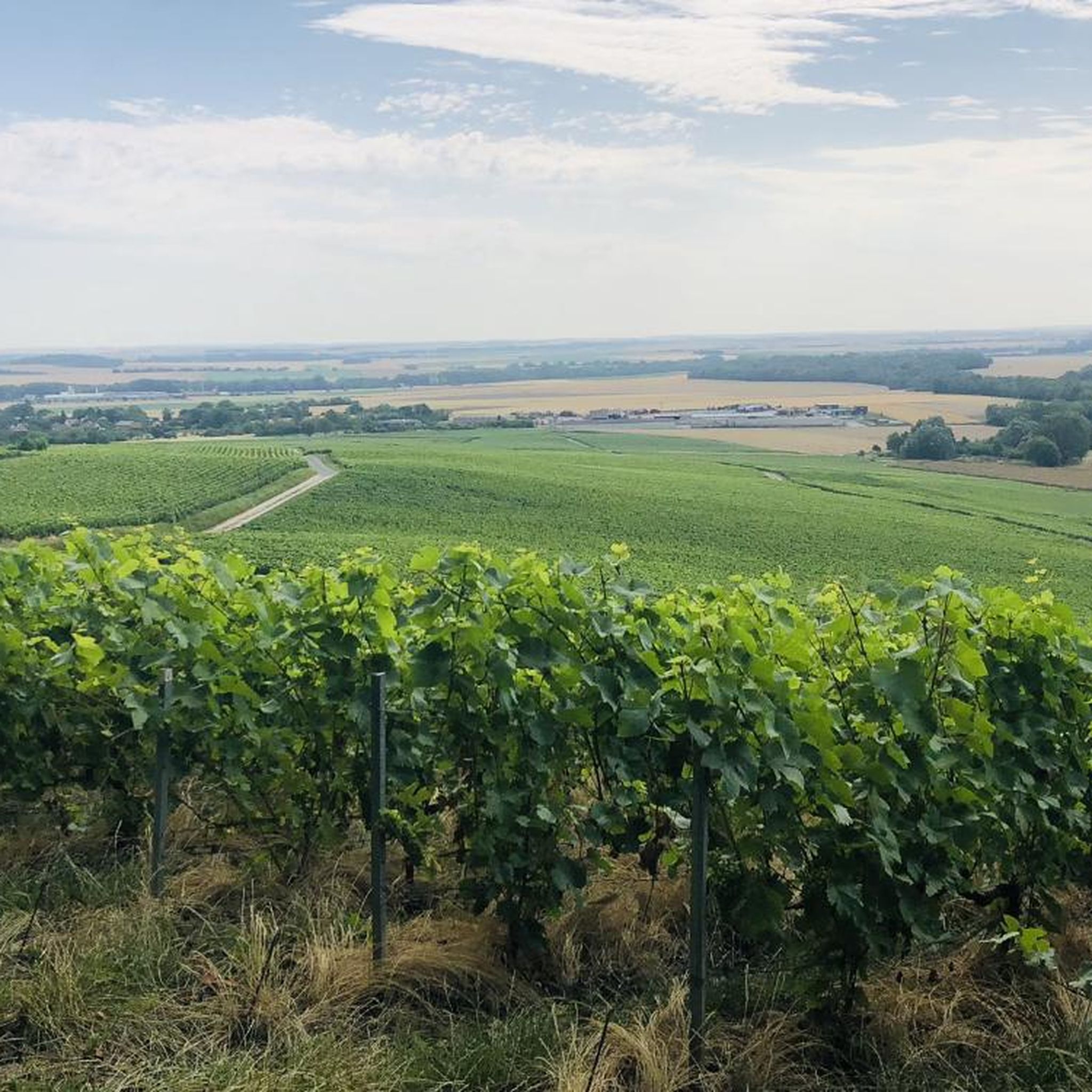
Jogging around Aubigny-En-Laonnois offers a network of routes through the French countryside. The region is characterized by its gentle, rolling terrain, often featuring open fields, scattered woodlands, and the presence of lakes such as Lake Ailette. These running paths provide opportunities to explore the local landscape with moderate elevation changes.
Best jogging routes around Aubigny-En-Laonnois
- The most popular jogging route is Running loop from Montaigu, an 8.5 miles (13.7 km) trail that takes 1 hour 27 minutes to complete,…
Last updated: July 5, 2026
9
runners
14.7km
01:39
170m
170m
Moderate run. Good fitness required. Mostly paved surfaces. Suitable for all skill levels.
6
runners
9.76km
01:05
150m
150m
Moderate run. Good fitness required. Mostly paved surfaces. Suitable for all skill levels.

Sign up for free
6
runners
8.06km
00:55
110m
110m
Moderate run. Good fitness required. Mostly paved surfaces. Suitable for all skill levels.
5
runners
7.21km
00:45
50m
50m
Moderate run. Good fitness required. Mostly paved surfaces. Suitable for all skill levels.
5.0
(1)
4
runners
6.39km
00:40
40m
40m
Moderate run. Good fitness required. Mostly paved surfaces. Suitable for all skill levels.
Get access to more routes and recommendations from other explorers.
Sign up for free
Already have an account?
Our route recommendations are based on thousands of hikes, rides, and runs completed by other people on komoot.
Start today with a free account
Your next adventure awaits.
Login or Signup

Tips from the Community

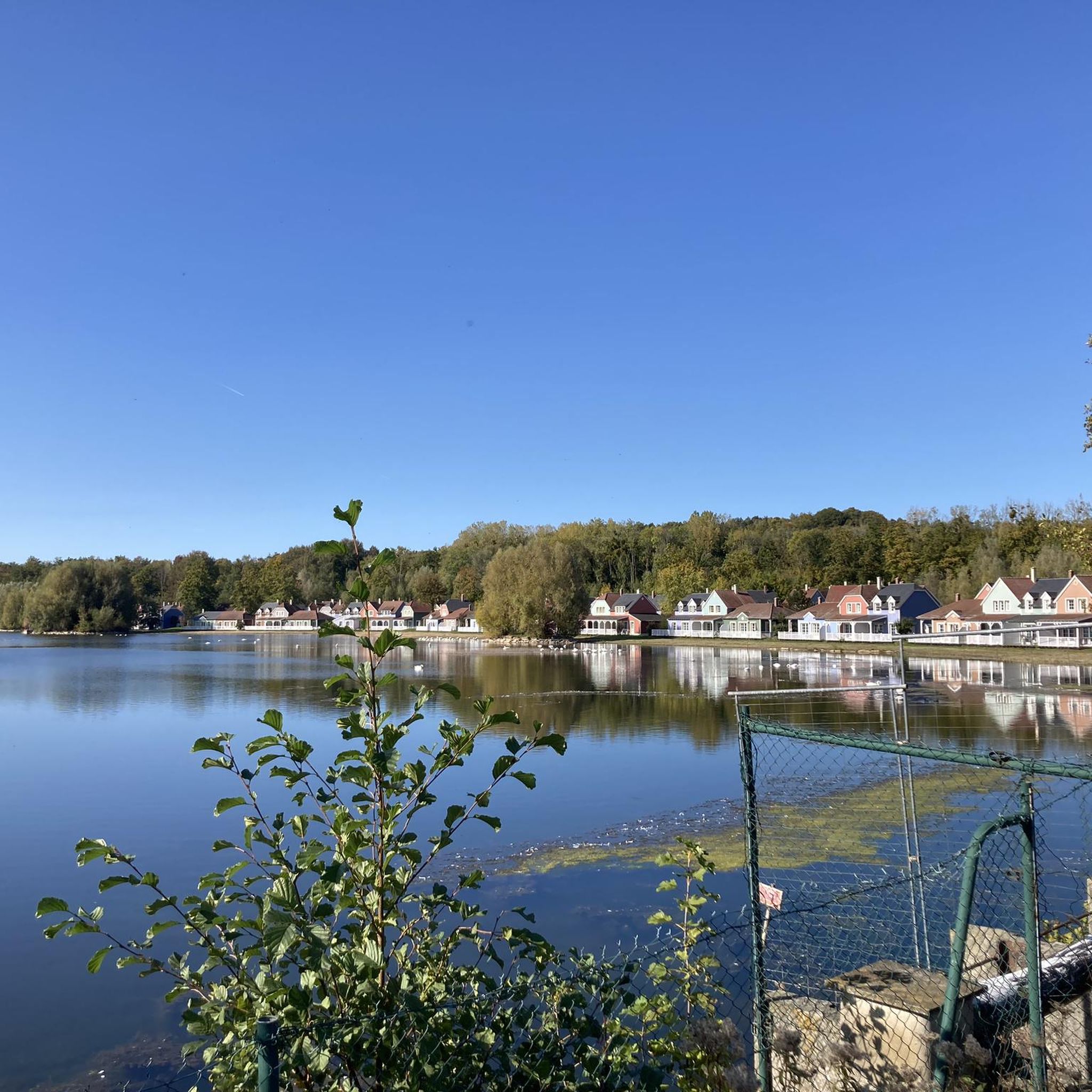
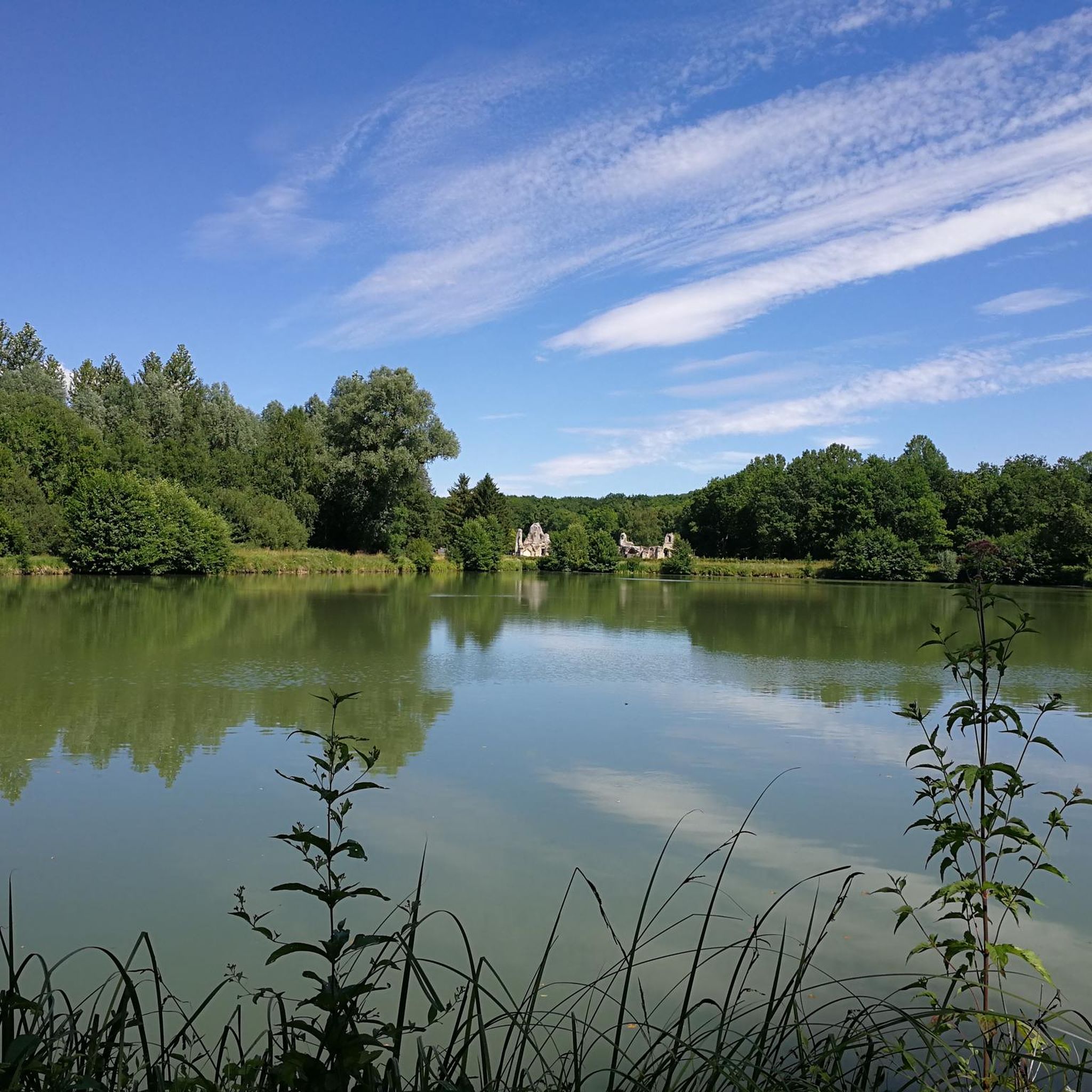
Lac d'Ailette is a beautiful lake located in the Aisne department of France, surrounded by forests and hills. It is a popular destination for hiking and mountain biking, as well as water sports and relaxation. The best time to visit the lake is from February to November, when the weather is mild and pleasant. You can also admire the colorful wildflowers in spring and summer, or the changing foliage in fall. Lake Ailette is a wonderful place to enjoy nature.
2
0

Nice ride. The lake and its swans is a good moment of serenity. The undergrowth is refreshing.
0
0

A pretty hike offering a beautiful vantage point on the lake and wooded passages.
0
0
The shores of the lake are very well landscaped. It is possible to admire the richness of the local flora and fauna. The points of view are many and varied. In addition, the proximity of the ruins of the abbey of Vauclair adds to the charm of this very pretty hike.
1
0
Frequently Asked Questions
How many running routes are available in Aubigny-En-Laonnois?
There are over 40 dedicated running routes around Aubigny-En-Laonnois, offering a variety of distances and terrains for all fitness levels.
Are there any easy jogging routes for beginners in Aubigny-En-Laonnois?
Yes, the region offers 5 easy running routes, perfect for beginners or those looking for a more relaxed pace. These paths typically feature gentle terrain and shorter distances.
Can I find circular running routes in the area?
Absolutely. Many of the running paths in Aubigny-En-Laonnois are circular. For example, the Running loop from Aizelles is a moderate 8 km circular route, and the Napoleon Statue in Craonne – Monks' Pond loop from Bouconville-Vauclair offers a longer 12.9 km circular option.
What kind of scenery can I expect on the running trails?
Runners in Aubigny-En-Laonnois can enjoy diverse scenery, including open fields, scattered woodlands, and picturesque lake views, particularly around Lake Ailette. The terrain features gentle hills and countryside paths.
Are there any interesting landmarks or attractions along the running routes?
Yes, some routes pass by historical sites and natural points of interest. For instance, the Napoleon Statue in Craonne – Monks' Pond loop from Bouconville-Vauclair takes you past the Napoleon Statue in Craonne and Monks' Pond. Other nearby attractions include the Vauclair Abbey Ruins.
What do other runners say about the trails in Aubigny-En-Laonnois?
The running routes in Aubigny-En-Laonnois are highly rated by the komoot community, with an average score of 4.4 stars from over 40 reviews. Many praise the region's varied terrain, gentle hills, and scenic lake views.
Are there any long-distance running options available?
For those seeking longer distances, routes like the Lake Ailette – Ailette Lake loop from Ployart-et-Vaurseine cover approximately 14.7 km, offering a substantial run with scenic views.
What is the typical elevation gain on running routes in this region?
The region is characterized by gentle, rolling terrain, meaning elevation changes are moderate. For example, the Running loop from Montaigu has an elevation gain of about 98 meters over its 13.7 km distance.
Are there any running routes that offer views of Lake Ailette?
Yes, the Lake Ailette – Ailette Lake loop from Ployart-et-Vaurseine is specifically designed to showcase the scenic views around Lake Ailette, making it a popular choice for runners.
How long does it typically take to complete a running route in Aubigny-En-Laonnois?
Completion times vary depending on the route's length and your pace. A moderate 9.8 km trail like the Running loop from Sainte-Croix typically takes about 1 hour and 5 minutes, while longer routes can take up to 1.5 to 2 hours.
What are the difficulty levels of the running trails?
The running network in Aubigny-En-Laonnois offers a range of difficulty levels. You'll find 5 easy routes, 34 moderate routes, and 3 more challenging options, ensuring there's something for every runner.
Most popular routes around Aubigny-En-Laonnois
Most popular attractions around Aubigny-En-Laonnois

Get inspired with the komoot mobile app


Explore more
Browse the best Running Trails & Routes in other regions.
