The best walks and hikes around Pavant
4.5
(78)
436
hikers
79
hikes
Hiking around Pavant offers a network of trails through a landscape characterized by rolling hills, agricultural areas, and river valleys. The region features a mix of open fields, woodlands, and paths connecting small villages. Elevation changes are generally moderate, providing accessible hiking for various skill levels.
Best hiking trails around Pavant
- The most popular hiking route is Hiking loop from Nanteuil - Saâcy, an 8.2 miles (13.3 km) trail that takes 3 hours 46 minutes to complete, offering varied…
Last updated: July 5, 2026
5.0
(12)
65
hikers
14.9km
03:59
180m
180m
Moderate hike. Good fitness required. Easily-accessible paths. Suitable for all skill levels.
4.6
(7)
32
hikers
20.9km
05:39
270m
270m
Hard hike. Very good fitness required. Easily-accessible paths. Suitable for all skill levels.

Sign up for free
4.8
(4)
16
hikers
13.3km
03:46
290m
290m
Moderate hike. Good fitness required. Easily-accessible paths. Suitable for all skill levels.
5.0
(2)
12
hikers
6.50km
01:43
60m
60m
Easy hike. Great for any fitness level. Easily-accessible paths. Suitable for all skill levels.
5.0
(2)
12
hikers
27.0km
07:37
570m
570m
Hard hike. Very good fitness required. Easily-accessible paths. Suitable for all skill levels.
Get access to more routes and recommendations from other explorers.
Sign up for free
Already have an account?
Our route recommendations are based on thousands of hikes, rides, and runs completed by other people on komoot.
Start today with a free account
Your next adventure awaits.
Login or Signup
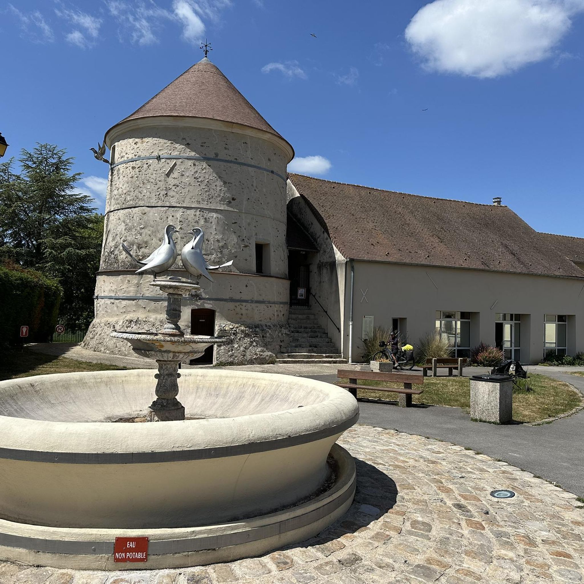
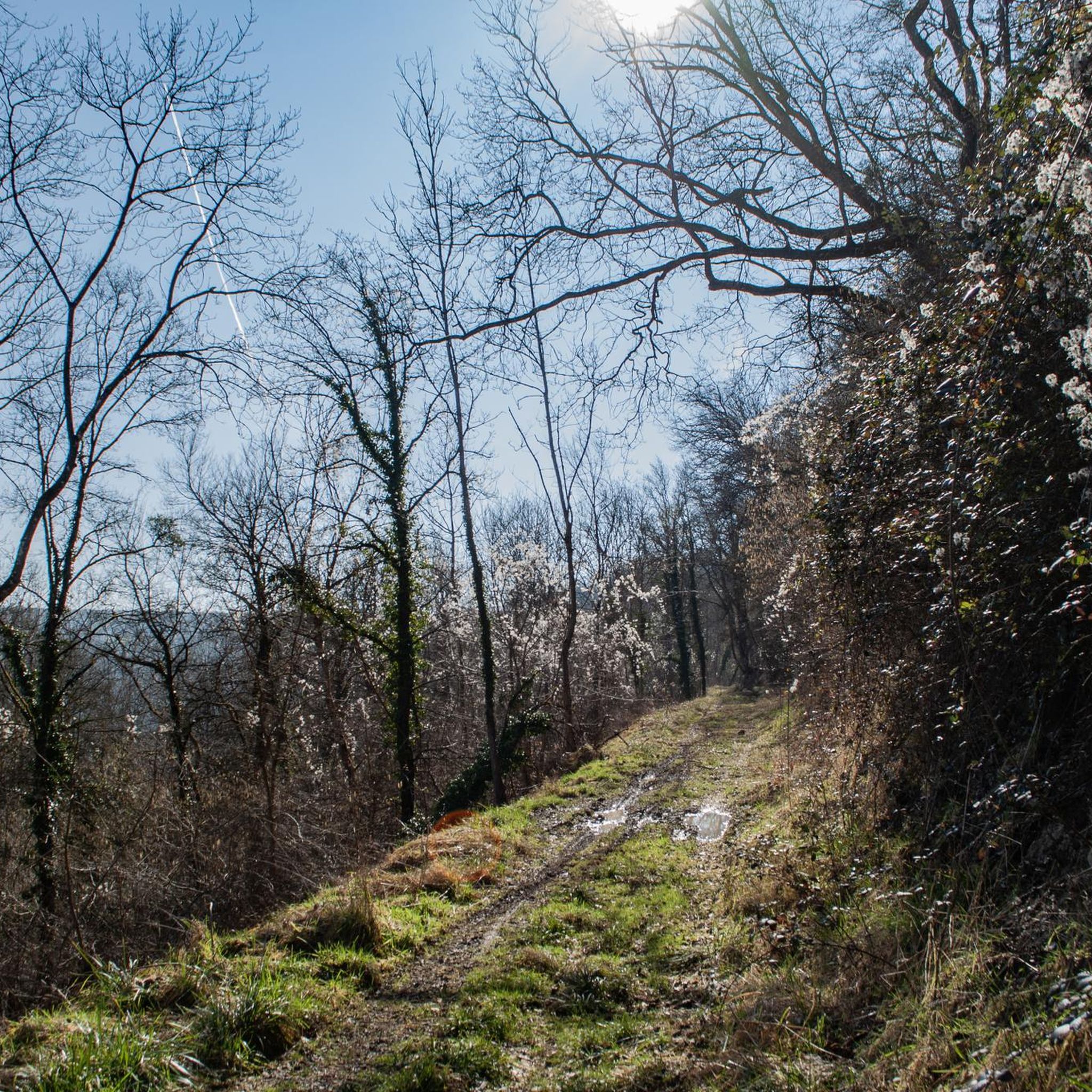
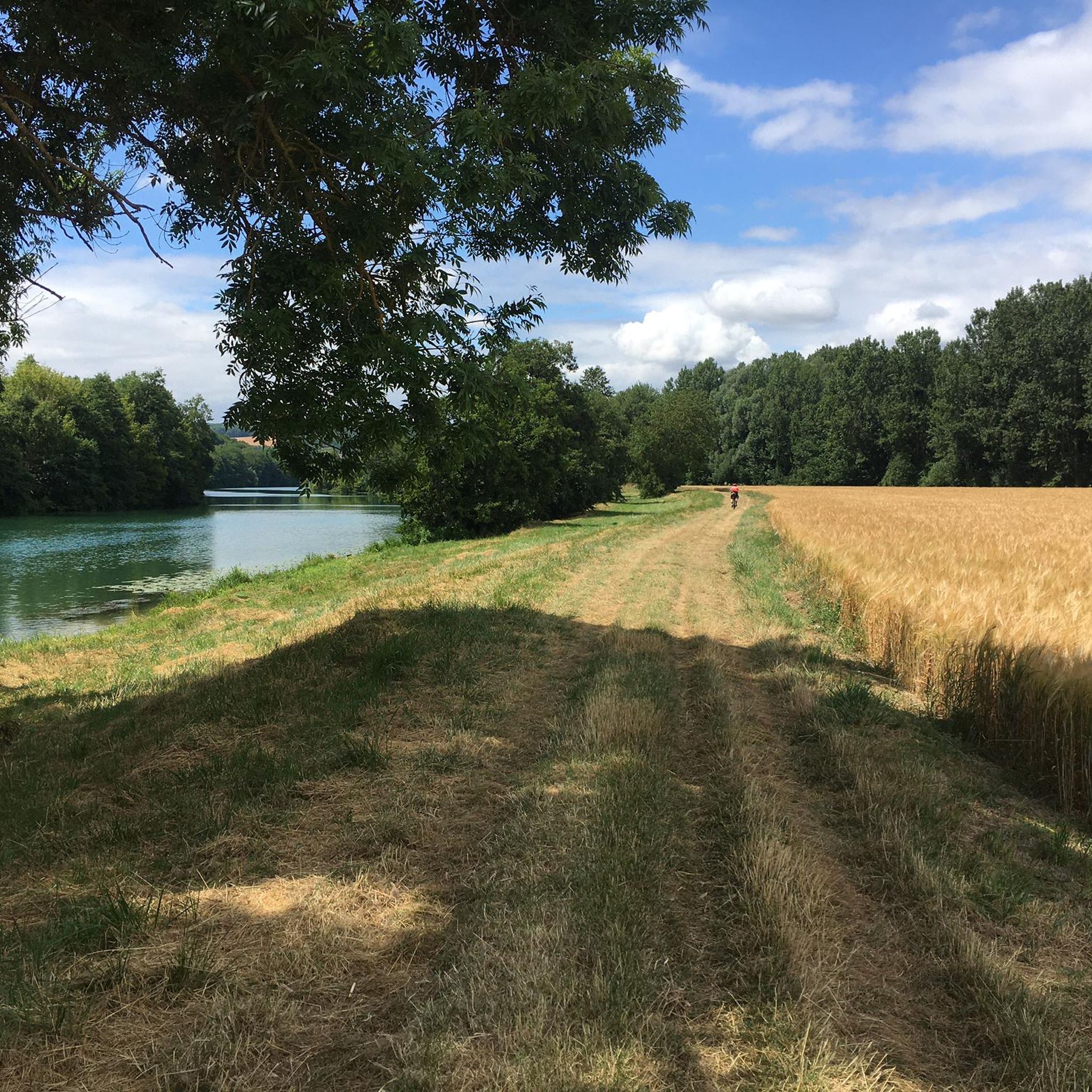
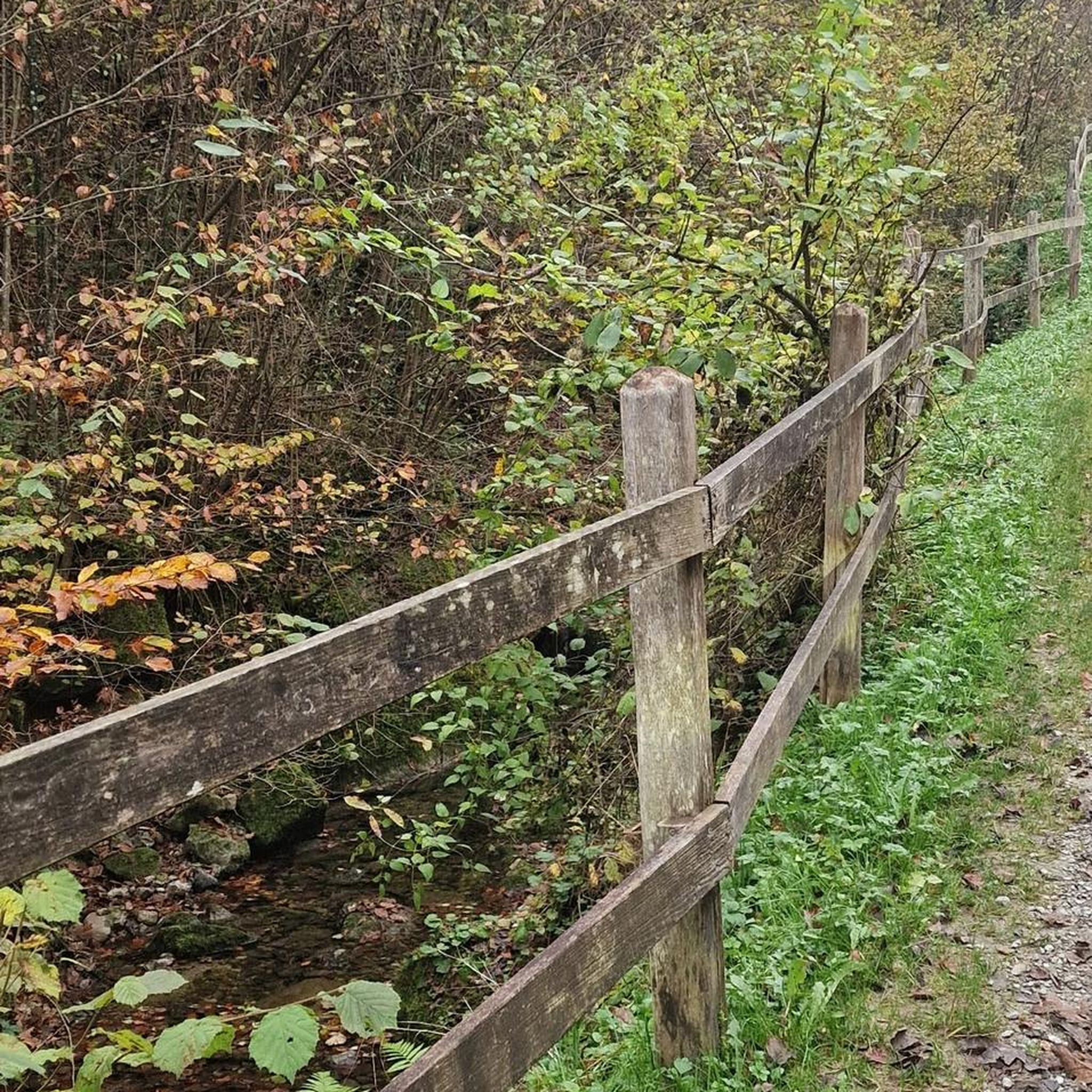
Tips from the Community

picnic areas at the intersection of Route de Monthis with observation table, then Rue de Montdorin at the entrance to Charly
0
0

Very beautiful panorama over the valley.
0
0

8 km sparkling walk, very nice to do
0
0

Charly, a former 15th century fortified town in Burgundy, was renamed Charly-sur-Marne in 2006. You will find many beautiful residences there, including the Château de Charly Sur Marne.
0
0
Nice view of the landscapes of the Aisne and the vineyards of Nanteuil.
0
0
Frequently Asked Questions
How many hiking trails are available around Pavant?
Pavant offers a wide selection of hiking opportunities, with nearly 70 distinct routes available. These range from easy strolls through vineyards to more challenging long-distance paths across rolling countryside.
What kind of landscape can I expect when hiking in Pavant?
The landscape around Pavant is characterized by rolling hills, expansive agricultural areas, and picturesque river valleys. You'll find a pleasant mix of open fields, tranquil woodlands, and paths connecting charming small villages. Elevation changes are generally moderate, making the region accessible for various skill levels.
Are there easy hiking trails suitable for beginners or casual walkers?
Yes, Pavant has 20 easy hiking routes perfect for beginners or those seeking a relaxed walk. A great example is the Vineyard walks loop from Charly-sur-Marne, an easy 4.0-mile (6.5 km) path that gently winds through local vineyards.
Are there challenging hikes for experienced hikers in Pavant?
For experienced hikers, Pavant offers 7 more challenging routes. One notable option is the Saint Martin Church loop from Crouttes-sur-Marne, a 16.3-mile (26.2 km) trail that takes you through extensive rolling countryside and past historical landmarks, often requiring over 7 hours to complete.
Are there circular hiking routes in Pavant?
Many of the trails in Pavant are designed as loops, offering convenient starting and ending points. Popular circular routes include the Hiking loop from Nanteuil - Saâcy, which covers 8.2 miles (13.3 km) through varied terrain, and the Hiking loop from Saâcy-sur-Marne.
Are the trails in Pavant suitable for families with children?
Given the generally moderate elevation changes and numerous easy routes, many trails in Pavant are suitable for families. The paths through open fields and woodlands provide a pleasant environment for children to explore. Consider shorter, easy loops like the Vineyard walks loop from Charly-sur-Marne for a family-friendly outing.
Can I bring my dog on the hiking trails in Pavant?
Generally, dogs are welcome on hiking trails in the Pavant region, especially in rural and woodland areas. However, it's always recommended to keep your dog on a leash, especially when passing through agricultural land or near livestock, and to respect local signage regarding pet access.
What are some good viewpoints or scenic spots along the trails?
The rolling landscape of Pavant offers several scenic spots. Keep an eye out for elevated sections that provide panoramic views of the agricultural plains and river valleys. A notable viewpoint is the Sainte-Aulde viewpoint, which offers expansive vistas of the surrounding area.
What is the best time of year to go hiking in Pavant?
Spring and autumn are generally the most pleasant seasons for hiking in Pavant, with mild temperatures and beautiful scenery as the vineyards change color or new growth emerges. Summer can also be enjoyable, though it's best to start early to avoid the midday heat. Winter hiking is possible, but trails may be muddy or slippery, and some services might be limited.
Are there any historical landmarks or interesting places to explore near the trails?
Yes, the Pavant region is dotted with historical and cultural points of interest. You might encounter charming villages, old churches, and other local landmarks. The Saint Martin Church loop from Crouttes-sur-Marne, for instance, passes by historical sites. Other nearby attractions include Saint-Cyr-sur-Morin and Mount Bonneil.
Is parking available at the trailheads?
Parking is generally available in or near the villages where many of the trails begin, such as Nanteuil, Charly-sur-Marne, and Crouttes-sur-Marne. Look for designated parking areas or street parking in these communities before starting your hike.
What do other hikers say about the trails in Pavant?
The hiking trails in Pavant are highly regarded by the komoot community, with an impressive average rating of 4.6 stars from over 40 reviews. Hikers often praise the varied terrain, the peaceful atmosphere of the woodlands and open fields, and the well-maintained paths that connect the charming local villages.
Most popular attractions around Pavant

Get inspired with the komoot mobile app


Explore more
Browse the best Hikes in other regions.
