The best running trails around Hilbersdorf
4.6
(572)
6,293
runners
327
runs
Jogging routes around Hilbersdorf offer access to a varied landscape in the upper Wipsetal, characterized by its natural features. Runners can explore paths along the Wipse River, providing scenic and relatively flat terrain. To the north, the Reuster Berg presents more varied terrain for those seeking a challenging run. The area is also traversed by the European Long-distance Path E11 and the Thuringian Path, offering well-maintained trails for extended running through the regional landscape.
Best jogging routes around Hilbersdorf
- The…
Last updated: May 14, 2026
4.9
(17)
161
runners
11.7km
01:17
230m
230m
Moderate run. Good fitness required. Mostly paved surfaces. Suitable for all skill levels.
4.9
(19)
168
runners
11.3km
01:12
160m
160m
Moderate run. Good fitness required. Mostly paved surfaces. Suitable for all skill levels.

Sign up for free
4.6
(11)
46
runners
7.17km
00:44
20m
20m
Moderate run. Good fitness required. Mostly paved surfaces. Suitable for all skill levels.
5.0
(7)
25
runners
Moderate run. Good fitness required. Mostly paved surfaces. Suitable for all skill levels.
5.0
(1)
18
runners
26.0km
02:48
240m
240m
Hard run. Very good fitness required. Mostly paved surfaces. Suitable for all skill levels.
Get access to more routes and recommendations from other explorers.
Sign up for free
Already have an account?
Our route recommendations are based on thousands of hikes, rides, and runs completed by other people on komoot.
Start today with a free account
Your next adventure awaits.
Login or Signup
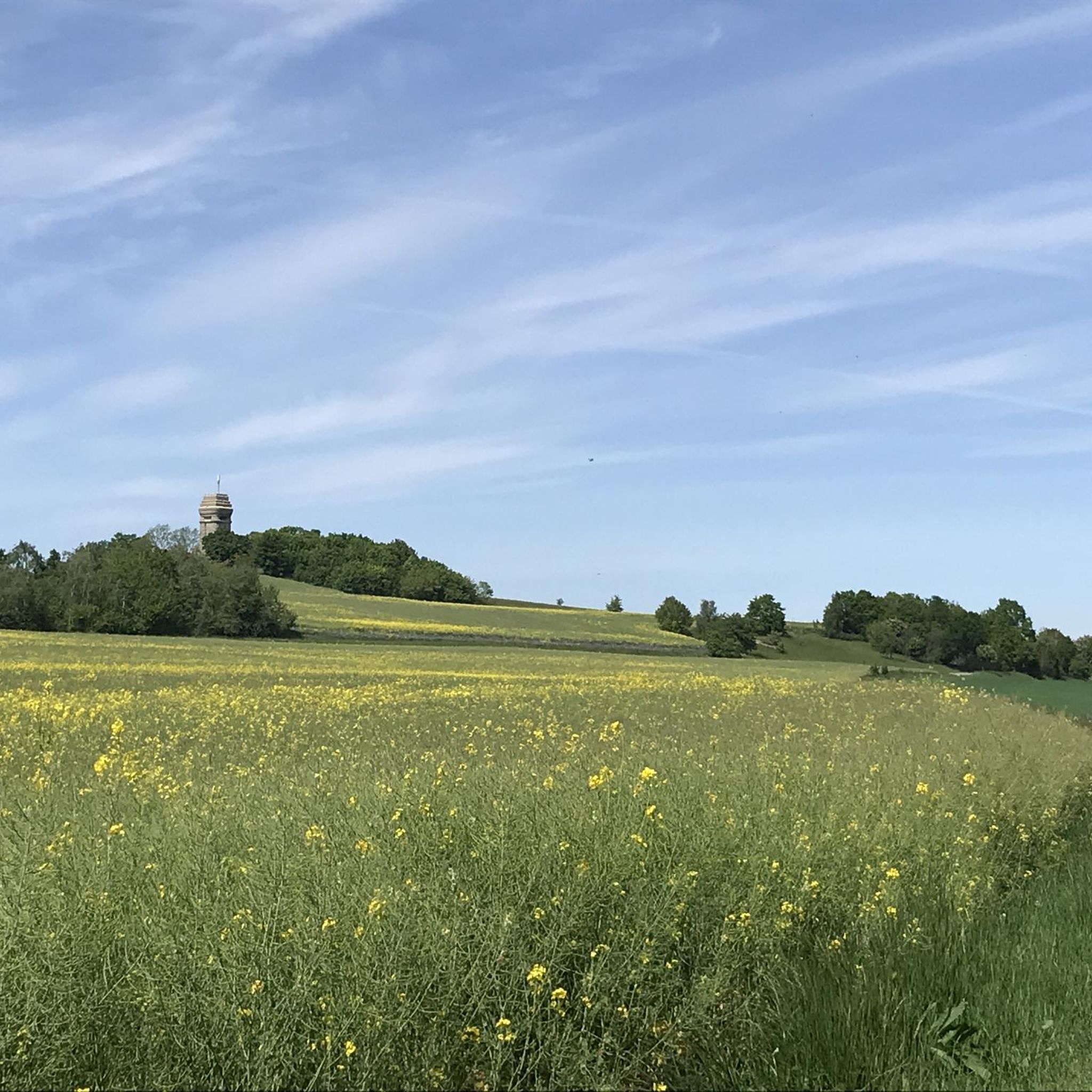
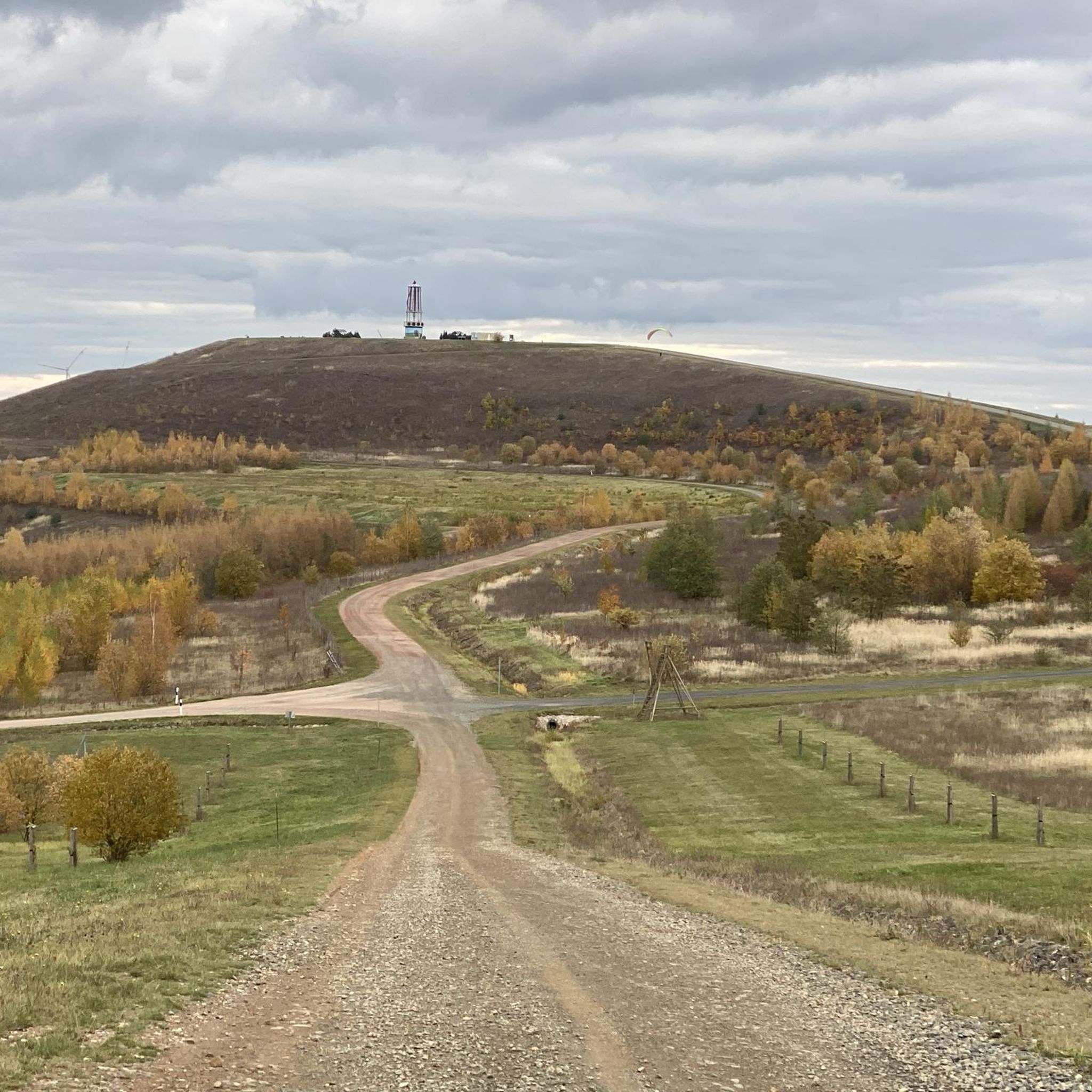
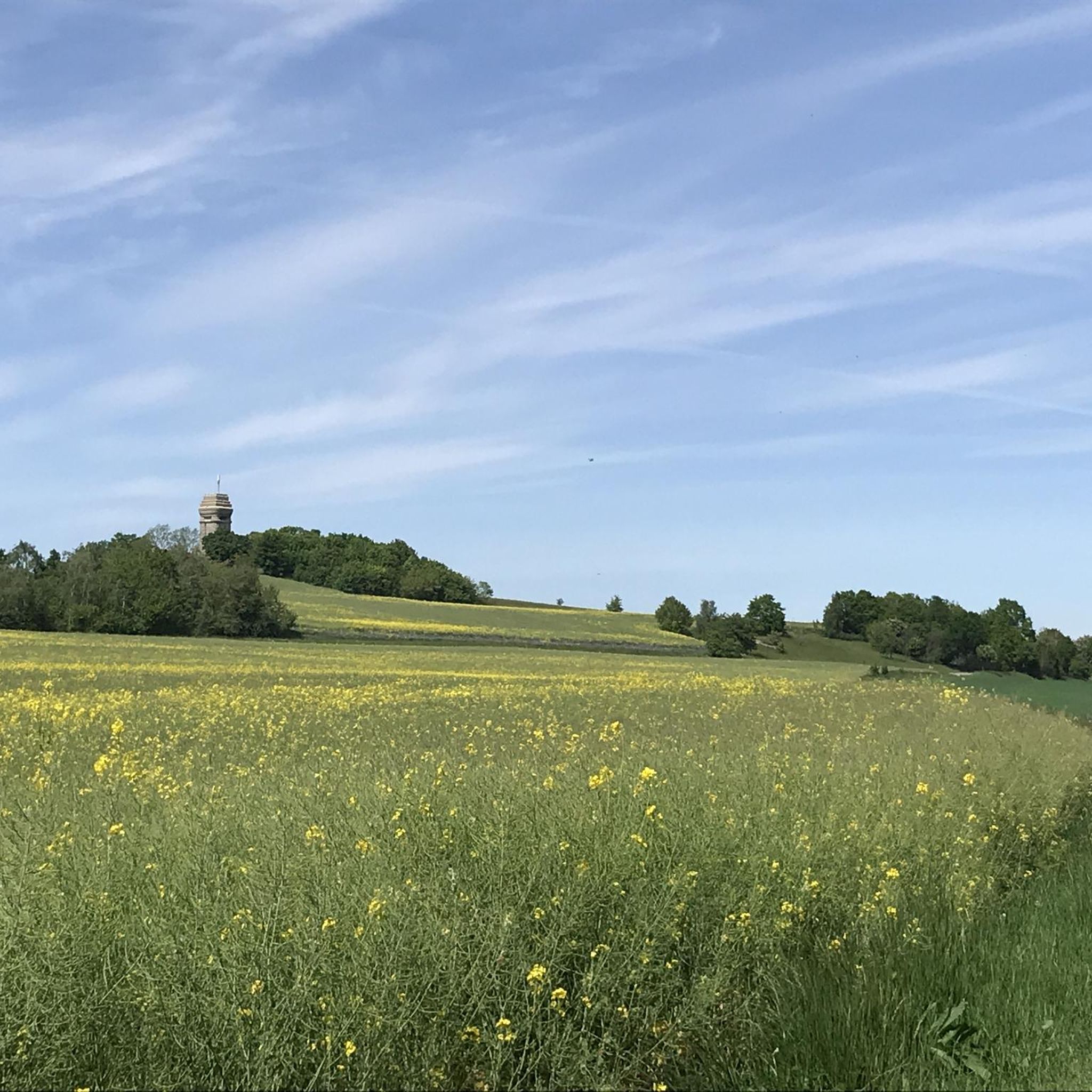
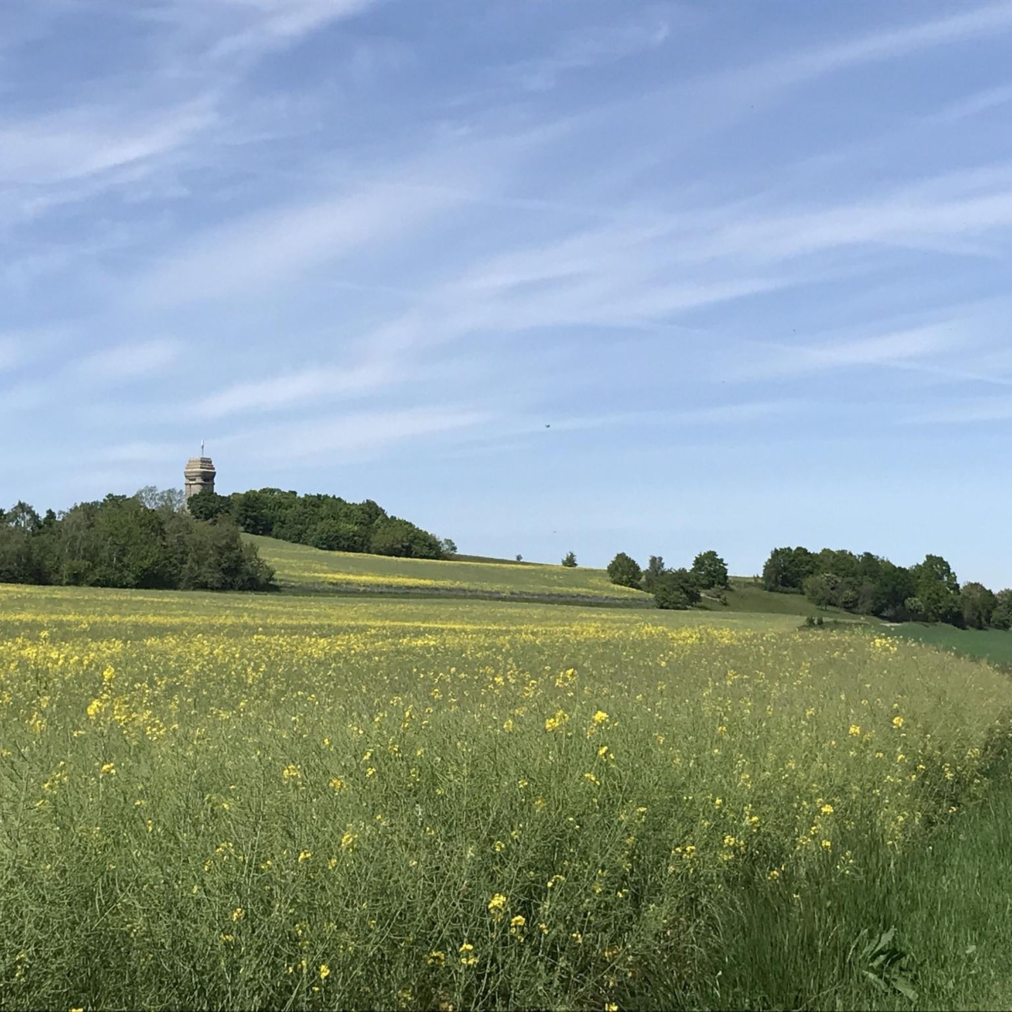

Tips from the Community

Bridge currently closed "due to bridge damage".
0
0

Officially called the bridge at Badergraben, it has truly earned its nickname with its 183 steps.
1
0

Nordic walking is also a very challenging workout. The "staircase of suffering" truly lives up to its name 😅.
4
0

Besides cycling, a short hike on the Elsterperlenweg trail is also recommended. Sure-footedness is required.
2
0

A small pebble beach invites you to rest and, in summer, to cool your hiking feet.
0
0

Beautiful viewpoint with a bench directly on the Elsterperlenweg trail
2
1
Here the weir is located directly next to the Clodramühle
1
1

FYI, the discovery tower is accessible all the way to the top (photo attached), but closed to climbing. As of August 2025, I had a fantastic view from up here. The Dragon's Tail Bridge is currently undergoing renovations after 18 years, expected to last until the end of November 2025, so it's closed. It's possible to walk through the bottom.
1
0
Frequently Asked Questions
How many running routes are available around Hilbersdorf?
Hilbersdorf offers a wide selection of running routes, with over 300 trails available. These include 42 easy routes, 227 moderate routes, and 40 difficult routes, catering to various fitness levels and preferences.
What kind of terrain can I expect on jogging trails in Hilbersdorf?
The terrain around Hilbersdorf is quite varied. You can find relatively flat paths along the Wipse River towards Liebschwitz, which are great for gentle runs. For those seeking more of a challenge, areas like the Reuster Berg to the north offer more varied terrain with elevation changes. The region also features established long-distance paths like the European Long-distance Path E11 and the Thuringian Path, providing well-maintained trails through diverse landscapes.
Are there any long-distance running paths that pass through Hilbersdorf?
Yes, Hilbersdorf is notably traversed by both the European Long-distance Path E11 and the Thuringian Path. These established routes pass through subdivisions like Rußdorf, offering excellent opportunities for extended runs through the regional landscape.
What do other runners say about the trails in Hilbersdorf?
The running routes in Hilbersdorf are highly rated by the komoot community, with an average score of 4.5 stars from over 500 reviews. More than 5,000 runners have used komoot to explore Hilbersdorf's varied terrain, often praising the scenic river valleys and the diverse options for different ability levels.
Are there any family-friendly jogging routes in the area?
While specific family-friendly routes are not detailed, the relatively flat sections along the Wipse River and parts of the Elster Cycle Path loop from Wünschendorf (Elster) are generally suitable for families. These paths offer a more relaxed running experience with less challenging terrain.
Can I bring my dog on the jogging trails in Hilbersdorf?
Many natural trails in the Hilbersdorf region are generally dog-friendly, allowing you to enjoy a run with your canine companion. However, it's always recommended to keep your dog on a leash, especially in nature reserves or areas with wildlife, and to respect local regulations.
Are there any notable landmarks or natural features to see while jogging?
Yes, the region offers several interesting natural features. You can run along the scenic Wipse River valley. For those interested in geological formations, nearby attractions include gorges like Zaufensgraben and Fuchsklamm Gorge, as well as the Grotto in Hades. These can add an interesting dimension to your run.
What is a popular moderate-difficulty running route in Hilbersdorf?
A popular moderate-difficulty route is the Grubenlampe Schmirchauer Höhe – Stairway of Suffering loop from Ronneburg. This 6.1-mile (9.8 km) trail offers a good balance of distance and elevation, typically taking around 1 hour 6 minutes to complete.
Are there any circular running routes available?
Yes, many routes in the Hilbersdorf area are designed as loops, allowing for circular runs. An example is the Ronneburg Bathing Pond – Dragon's Tail Bridge, Ronneburg loop from Ronneburg, which is an 8.4 km (5.2 miles) moderate trail.
How accessible are the running trails by public transport or car parking?
Hilbersdorf's proximity to larger cities like Gera (only a few minutes' drive away) suggests good road access. While specific public transport details for trailheads are not provided, the presence of long-distance paths like the E11 and Thuringian Path often implies some level of accessibility. Parking is generally available near trail starting points in smaller municipalities, but it's advisable to check specific route details on komoot for parking information.
What is a challenging running route in the Hilbersdorf area?
For those seeking a more challenging run, the Stairway of Suffering – View of Kuhberg loop from Ronneburg is a great option. This 7.3-mile (11.7 km) trail features varied terrain and significant elevation changes, taking approximately 1 hour 17 minutes to complete.
Most popular attractions around Hilbersdorf

Get inspired with the komoot mobile app


Explore more
Browse the best Running Trails & Routes in other regions.
