The best walks and hikes around Saint-Sauveur
4.5
(206)
1,171
hikers
114
hikes
Hiking trails around Saint-Sauveur offer a diverse range of outdoor experiences. The region features varied terrain, including forested sections and gentle hills, providing opportunities for different hiking abilities. These routes often lead through natural landscapes, allowing for exploration of the local environment.
Best hiking trails around Saint-Sauveur
- The most popular hiking route is Montastruc Castle loop from Lamonzie-Montastruc, a 6.9 miles (11.1 km) trail that takes 3 hours 2 minutes to complete. This moderate route features a castle and…
Last updated: June 30, 2026
4.4
(7)
36
hikers
11.1km
03:02
180m
180m
Moderate hike. Good fitness required. Easily-accessible paths. Suitable for all skill levels.
18
hikers
5.02km
01:17
20m
20m
Easy hike. Great for any fitness level. Easily-accessible paths. Suitable for all skill levels.

Sign up for free
5.0
(2)
13
hikers
11.7km
02:59
40m
40m
Moderate hike. Good fitness required. Easily-accessible paths. Suitable for all skill levels.
4.3
(4)
8
hikers
9.43km
02:31
110m
110m
Moderate hike. Good fitness required. Easily-accessible paths. Suitable for all skill levels.
4.0
(1)
3
hikers
12.8km
03:24
130m
130m
Moderate hike. Good fitness required. Easily-accessible paths. Suitable for all skill levels.
Get access to more routes and recommendations from other explorers.
Sign up for free
Already have an account?
Our route recommendations are based on thousands of hikes, rides, and runs completed by other people on komoot.
Start today with a free account
Your next adventure awaits.
Login or Signup
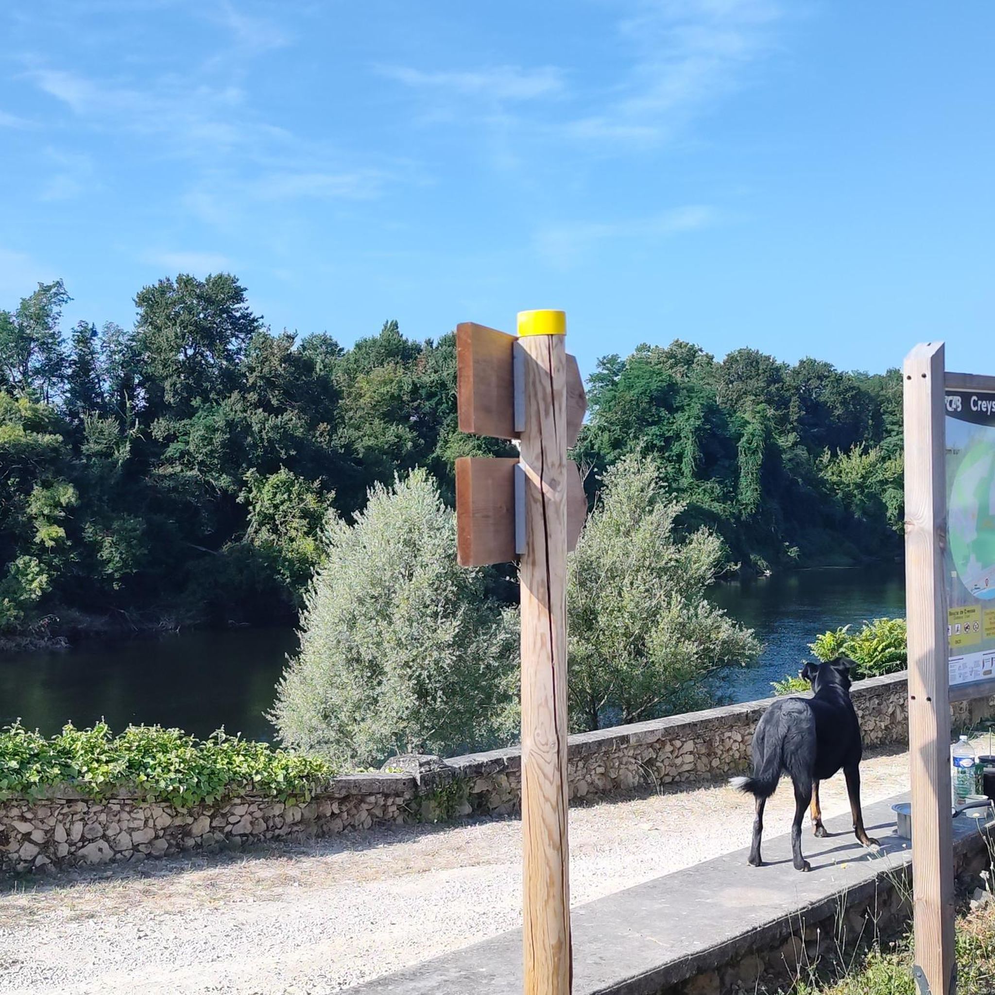

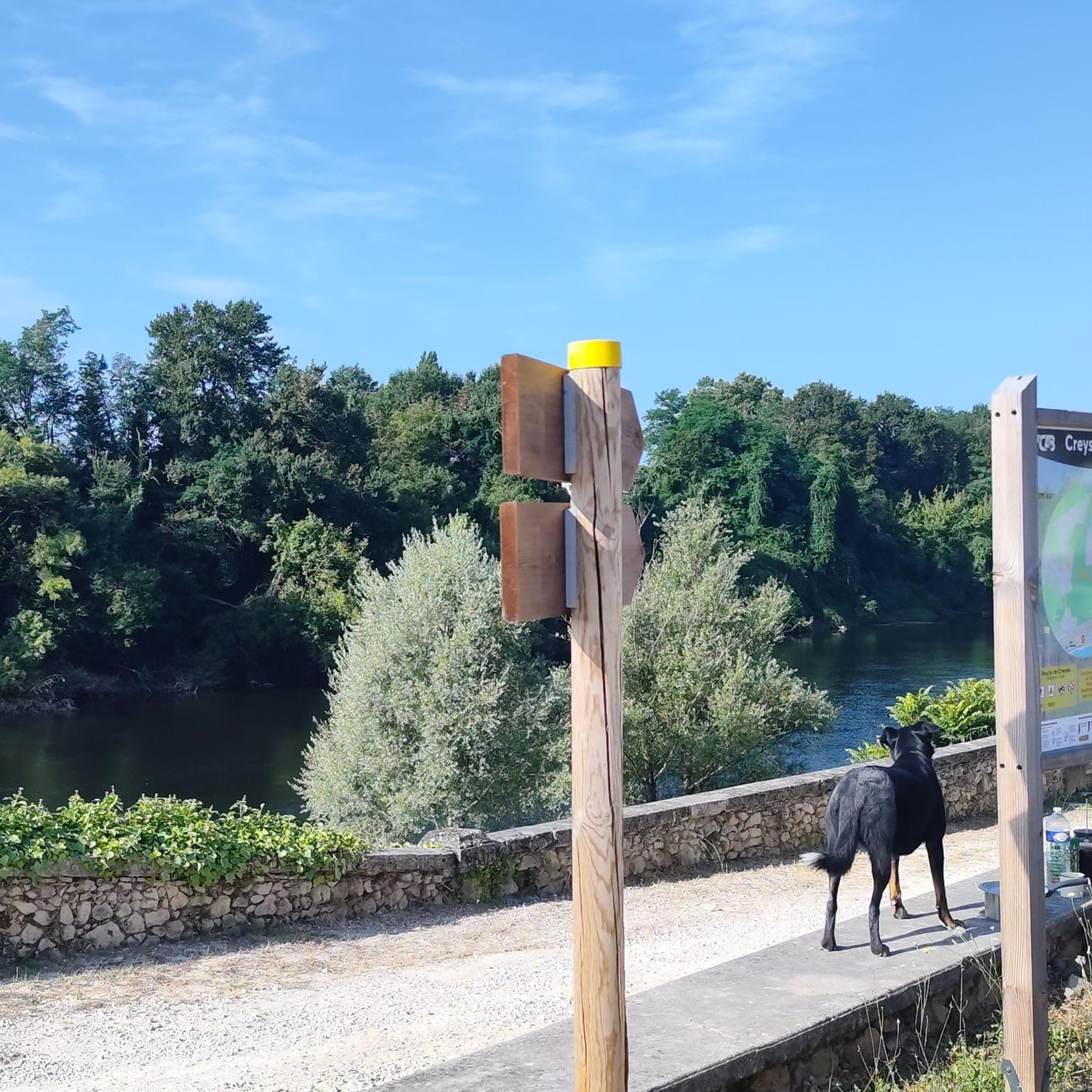
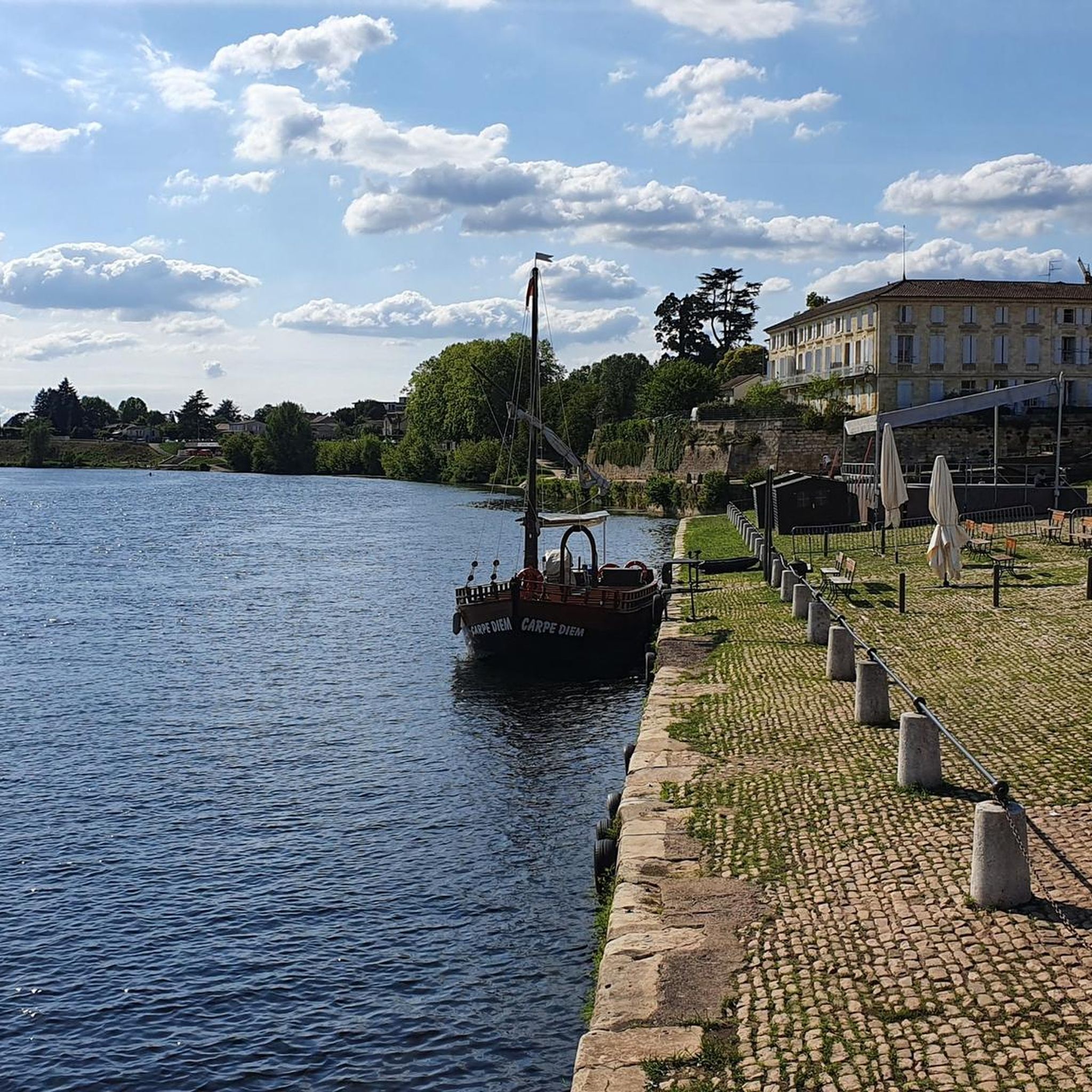
Tips from the Community

A very pretty castle that has been continuously inhabited since the 13th century. A fiefdom of the d'Abzac family since the 13th century, Montastruc then passed through marriage to the Ferrand de Mauvezin, the Peruse des Cars, the du Garrich d'Uzech, and then, in 1849, to the Marquis de Lostanges de Saint-Alvere, followed by the Loeffs in 1936. After the last war, it was owned by the Ordonneaus, then briefly changed hands before passing in 1998 to Philippe Raynaud de Fitte and Ségolène de Marcellus, his wife. A long restoration project then began... Ségolène de Marcellus is a descendant of Marie-Louis Jean André Charles (alias Lodoïs) de Martin du Tyrac, 4th Count of Marcellus (1795-1861), who, after difficult and eventful negotiations, purchased the statue now known as the Venus de Milo and brought it back to France, where it was presented and presented on March 1, 1821, to King Louis XVIII, who donated it to the Louvre. A life-size cast of the Venus, with an identical patina, was made by hand in November 2015 by the Louvre's casting workshops and is on display in Montastruc.
0
0


Superb track to reach Lalinde. Quiet place, even in summer!
2
0
Built in concrete from June 1905 to December 1908 by the engineer Albert Claveille, it is 105 meters long and houses a hydroelectric plant2. Its commissioning in 1909 made it possible at the time to supply electricity not only to Bergerac and Périgueux, but also to Bordeaux and Angoulême.
1
0

Very pretty series of locks downstream of the Tuilières dam, visitable on foot accessible by greenway.
5
0

This is a salmon lift, allowing them to avoid being stopped by the EDF dam.
4
0

Frequently Asked Questions
How many hiking trails are available in Saint-Sauveur?
Saint-Sauveur offers a wide selection of hiking opportunities, with over 100 routes available. These trails cater to various skill levels, from easy walks to more challenging excursions.
What kind of terrain can I expect on the hiking trails around Saint-Sauveur?
The terrain around Saint-Sauveur is diverse, characterized by the picturesque Laurentian Mountains. You'll find paths winding through lush, expansive forests, gentle hills, and sections that offer panoramic views of the surrounding mountains and valleys. Many trails also feature serene views of the numerous lakes dotted throughout the region.
Are there easy trails suitable for beginners or families with children?
Yes, Saint-Sauveur has many easy trails perfect for beginners or families. For instance, the V91 jolie voie verte loop from Creysse is an easy 5.0 km path that follows a greenway, offering a relaxed experience. The region's trails are generally well-suited for mixed groups, with many options that are not overly strenuous.
Are there any challenging hikes for experienced trekkers?
While many trails are moderate, Saint-Sauveur does offer a few more challenging options for experienced hikers. The region's diverse terrain, including sections of the Laurentian Mountains, provides routes with greater elevation changes and longer distances for those seeking a more strenuous adventure.
What are some notable landmarks or attractions I can see while hiking?
While hiking around Saint-Sauveur, you can explore various points of interest. The region is known for its natural beauty, including expansive forests and numerous lakes. For cultural landmarks, you might consider visiting nearby Bergerac, which features historical sites like the Saint Jacques Church and the Notre-Dame Church.
Are there any circular hiking routes in Saint-Sauveur?
Yes, many of the trails in Saint-Sauveur are designed as loops, allowing you to start and end at the same point. Examples include the Montastruc Castle loop from Lamonzie-Montastruc, a moderate 11.1 km route, and the Brisseau – Forêt domaniale du Maine loop from Saint-Sauveur, which is 13.4 km through a state forest.
What do other hikers enjoy most about hiking in Saint-Sauveur?
The hiking experience in Saint-Sauveur is highly rated by the komoot community, with an average score of 4.5 stars from over 190 reviews. Hikers often praise the varied terrain, which includes beautiful forested sections and greenways, and the well-maintained network of paths that offer options for all ability levels.
Can I bring my dog on the hiking trails?
Many outdoor areas in the Laurentian Mountains are dog-friendly, but specific regulations can vary by trail or park. It's always recommended to check the rules for individual trails or nature reserves before heading out with your dog to ensure a pleasant experience for everyone.
What is the best time of year to go hiking in Saint-Sauveur?
Saint-Sauveur is a year-round outdoor destination. In warmer months, you'll find lush greenery and pleasant temperatures for hiking. During winter, the region transforms into a quiet, snow-covered environment, offering opportunities for snowshoeing and cross-country skiing, with some trails still accessible for winter hiking.
Are there any trails that offer panoramic viewpoints?
Absolutely. Trails, particularly those leading to higher elevations within the Laurentian Mountains, offer rewarding panoramic views. Sommet Saint-Sauveur, for example, is known for its trails that culminate in expansive views of the surrounding mountains and valleys, providing stunning vistas.
Are there any trails that pass by a dam or significant water features?
Yes, some trails incorporate significant water features. For instance, the V91 jolie voie verte – Tuilières Dam loop from Creysse is a moderate 11.4 km route that passes by the Tuilières Dam, offering unique scenery along the greenway.
What is the longest hiking trail available in Saint-Sauveur?
Among the featured routes, the Brisseau – Forêt domaniale du Maine loop from Saint-Sauveur is one of the longer options, covering 13.4 km through a state forest and typically taking about 3 hours and 33 minutes to complete.
Most popular attractions around Saint-Sauveur

Get inspired with the komoot mobile app


Explore more
Browse the best Hikes in other regions.
