The best walks and hikes around Saint-Étienne-De-Maurs
4.7
(54)
265
hikers
44
hikes
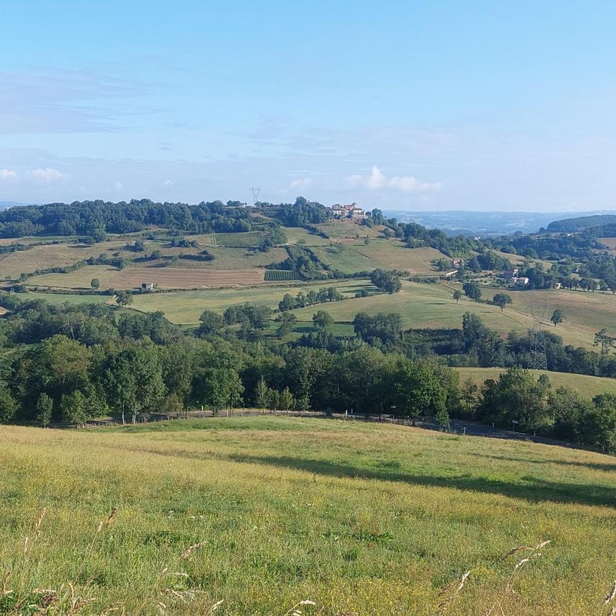
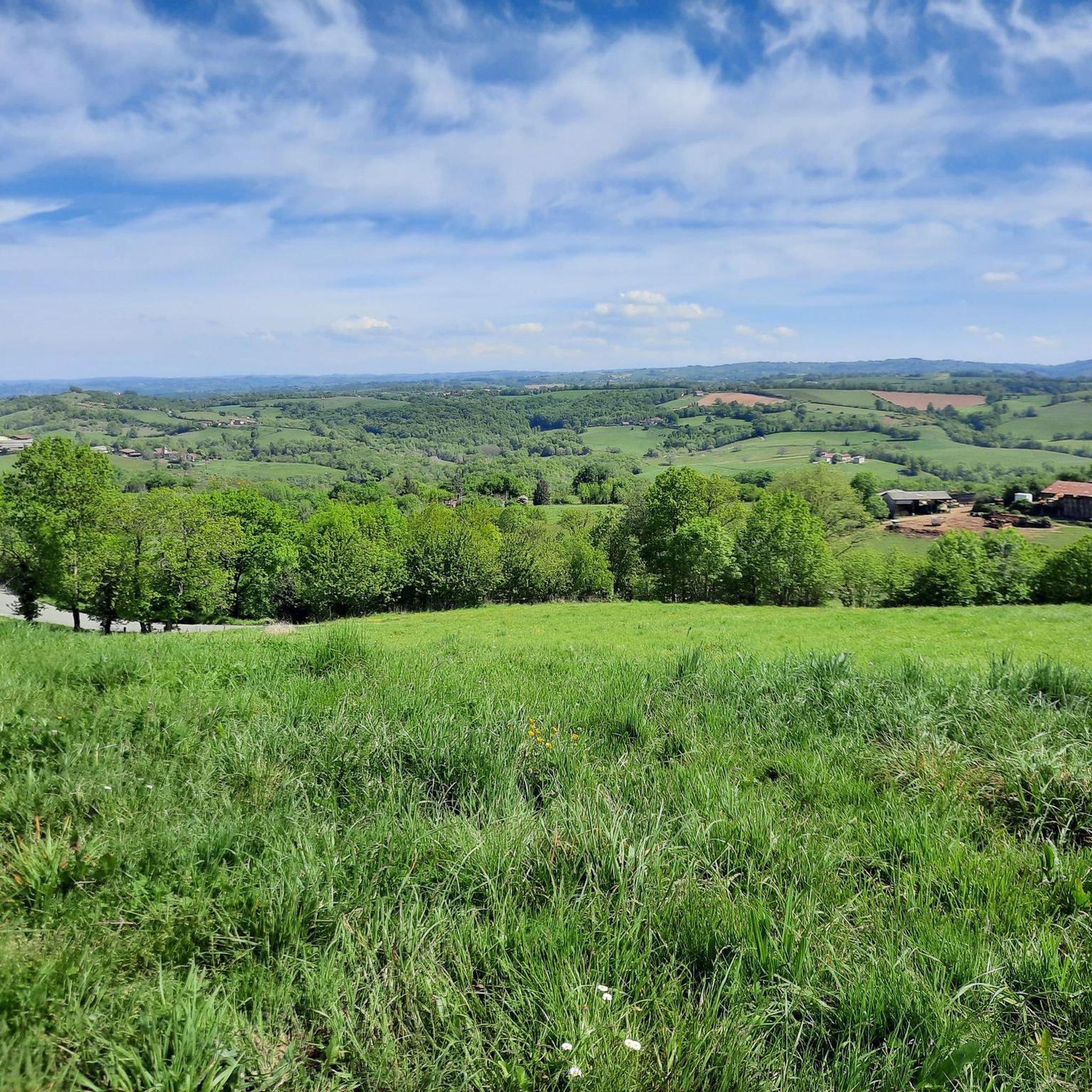
Hiking around Saint-Étienne-De-Maurs offers diverse landscapes in the Cantal department of south-central France. The region features gentle terrain with panoramic views of the Maurs Basin and the distant Cantal Mountains. Hikers can explore valleys like the Rance and Lot, gorges such as those of the Bourzai stream, and shaded routes through forests and alongside small streams. The area also includes agricultural lands and prairies, providing varied terrain for outdoor activities.
Best hiking trails around Saint-Étienne-De-Maurs
- The most popular hiking route…
Last updated: May 18, 2026
4.5
(6)
20
hikers
12.7km
03:35
270m
280m
Moderate hike. Good fitness required. Easily-accessible paths. Suitable for all skill levels.
5.0
(2)
27
hikers
8.32km
02:16
130m
120m
Moderate hike. Good fitness required. Easily-accessible paths. Suitable for all skill levels.

Sign up for free
5.0
(3)
13
hikers
14.3km
04:07
350m
350m
Moderate hike. Good fitness required. Easily-accessible paths. Suitable for all skill levels.
4.3
(4)
9
hikers
10.3km
02:55
240m
240m
Moderate hike. Good fitness required. Easily-accessible paths. Suitable for all skill levels.
4.0
(1)
7
hikers
7.58km
02:12
190m
190m
Moderate hike. Good fitness required. Easily-accessible paths. Suitable for all skill levels.
Get access to more routes and recommendations from other explorers.
Sign up for free
Already have an account?
Our route recommendations are based on thousands of hikes, rides, and runs completed by other people on komoot.
Start today with a free account
Your next adventure awaits.
Login or Signup

Tips from the Community

A nice village and good for a break with a delicious snack.
1
0

Saint-Santin and Saint-Santin-de-Maurs are on either side of the border between Cantal and Aveyron. Separated by the Route du Théron, the two churches face each other, offering a double opportunity to admire these architectural and historical gems.
1
1

Magnificent view as far as Rodez in good weather. Telescope available.
1
0

Ruined castle and campsite nearby, very quiet in the countryside and by a river. Nice passage at the top of a small pass surrounded by steep cliffs.
0
0
Two villages side by side with its two churches facing each other around the same square ... amazing and original! To have !
2
1
Frequently Asked Questions
What kind of landscapes can I expect to see while hiking around Saint-Étienne-De-Maurs?
The region offers a diverse range of natural beauty. You can expect panoramic views of the Maurs Basin and the majestic Cantal Mountains. Trails often lead through valleys like the Rance and the heart of the Châtaigneraie cantalienne (chestnut groves), along gorges such as those of the Bourzai stream, and through shaded forests alongside small streams. The landscape also includes agricultural areas and prairies, providing varied terrain.
How many hiking routes are available in Saint-Étienne-De-Maurs?
There are over 45 hiking routes available around Saint-Étienne-De-Maurs. These include 15 easy trails and 30 moderate trails, catering to various fitness levels.
Are there any easy hiking trails suitable for beginners or a relaxed walk?
Yes, there are 15 easy trails available. An example is the View from Puycapel loop from Vergnes, which is 3.5 km long and takes about 1 hour to complete, with an elevation gain of less than 100 meters.
What are some notable natural features or viewpoints I can discover on the trails?
Many trails offer superb panoramic views of the Maurs Basin and the distant Cantal Mountains. You can explore the Vallée de la Rance, the Châtaigneraie cantalienne, and gorges like those of the Bourzai stream. The broader Cantal region is also known for its volcanic formations and high plateaus.
Are there any circular hiking routes in the area?
Yes, many routes are circular. For example, the View from Puycapel loop from Calvinet is a popular 12.7 km moderate trail, and the Hiking loop from Saint-Santin-de-Maurs is another moderate 8.3 km option that explores the local landscapes.
What do other hikers say about the trails in Saint-Étienne-De-Maurs?
The hiking routes in Saint-Étienne-De-Maurs are highly rated by the komoot community, with an average score of 4.7 stars from over 47 reviews. Hikers often praise the varied terrain, the beautiful views of the Maurs Basin and Cantal Mountains, and the well-maintained paths through valleys, gorges, and forests.
Are there any interesting landmarks or attractions near the hiking trails?
Yes, there are several points of interest. You might encounter the Three Bishops' Cross, the Moulin d'Entraygues, or the scenic Côte de l'Enseigne. The charming villages of Saint-Santin and Saint-Santin-de-Maurs are also nearby.
What is the typical duration for a hike in this region?
Hike durations vary depending on the route's length and difficulty. Easy trails like the View from Puycapel loop from Vergnes can be completed in about 1 hour. Moderate trails, such as the View of the Countryside loop from Boisset, typically take around 4 hours.
Are there any family-friendly hiking options?
Many of the 15 easy trails are suitable for families. These routes often wind through shaded woods and alongside streams, providing a pleasant experience for all ages. Look for trails with shorter distances and minimal elevation gain for the most family-friendly options.
Can I bring my dog on the hiking trails?
While specific regulations can vary by trail, many natural areas in France are generally dog-friendly, especially if dogs are kept on a leash. It's always recommended to check local signage or specific route descriptions for any restrictions before heading out with your dog.
What is the best time of year to go hiking in Saint-Étienne-De-Maurs?
The region is enjoyable for hiking across multiple seasons. Spring and autumn offer pleasant temperatures and vibrant scenery, with the chestnut groves being particularly beautiful in autumn. Summer provides warm weather, and many routes are shaded, offering respite from the sun. Winter hiking is possible, but some higher elevation areas or less maintained paths might require more preparation.
Is there parking available at the trailheads?
Most hiking trailheads in the region, especially those starting from villages or popular points, typically have designated parking areas. It's advisable to check the specific starting point of your chosen route for detailed parking information.
Most popular routes around Saint-Étienne-De-Maurs
Most popular attractions around Saint-Étienne-De-Maurs

Get inspired with the komoot mobile app


Explore more
Browse the best Hikes in other regions.
