The best mountain hikes around Rosenthal-Bielatal
4.8
(149)
512
hikers
81
hikes
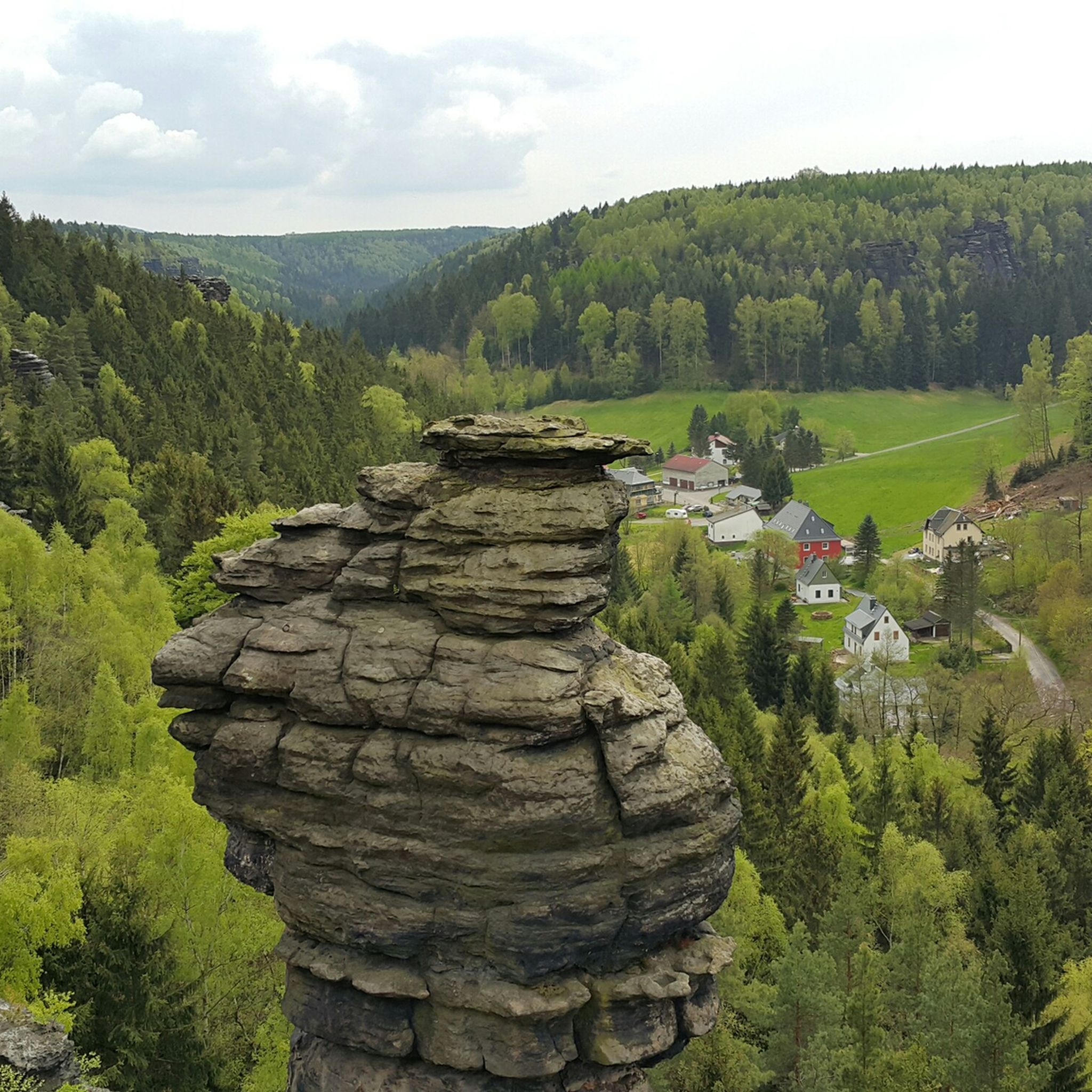
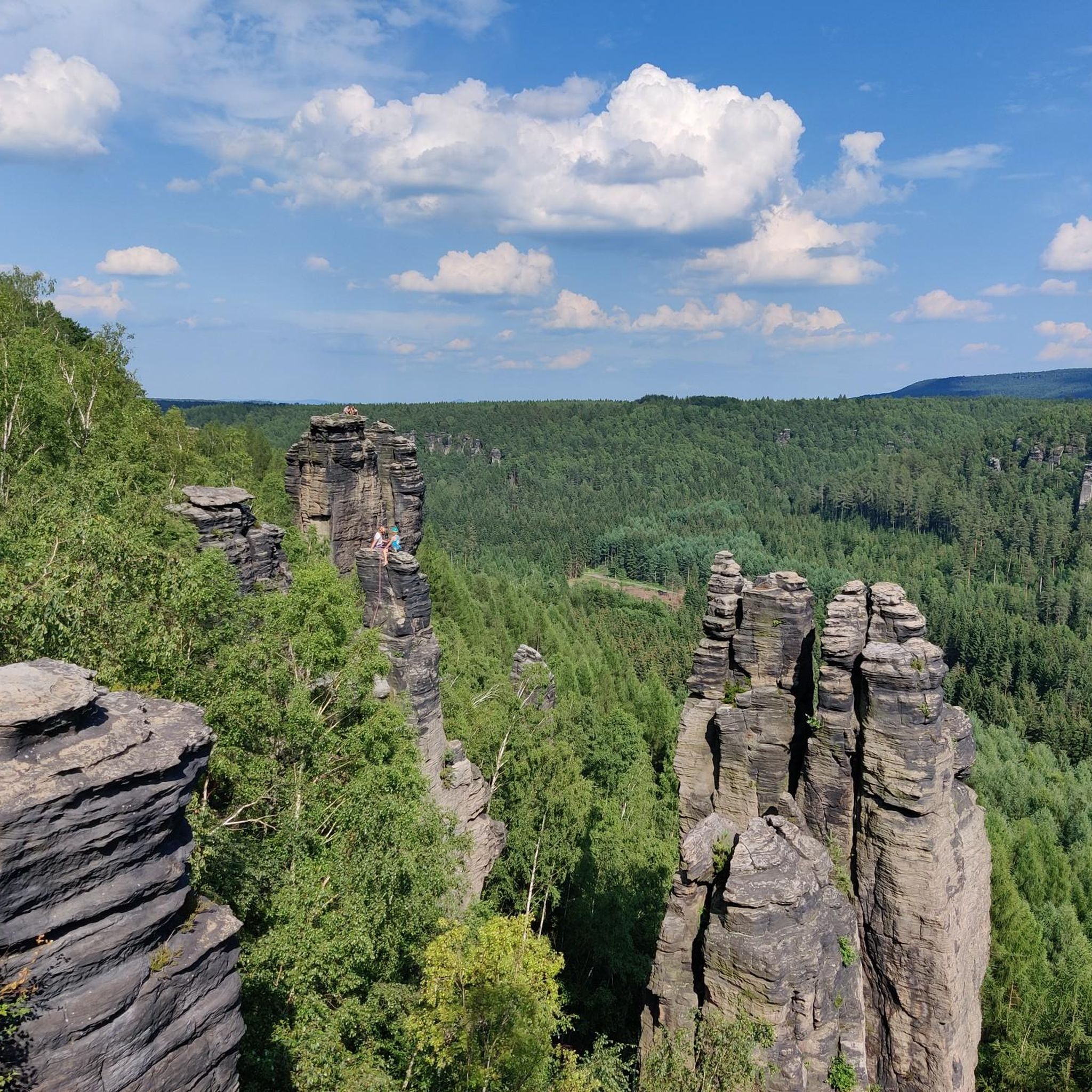
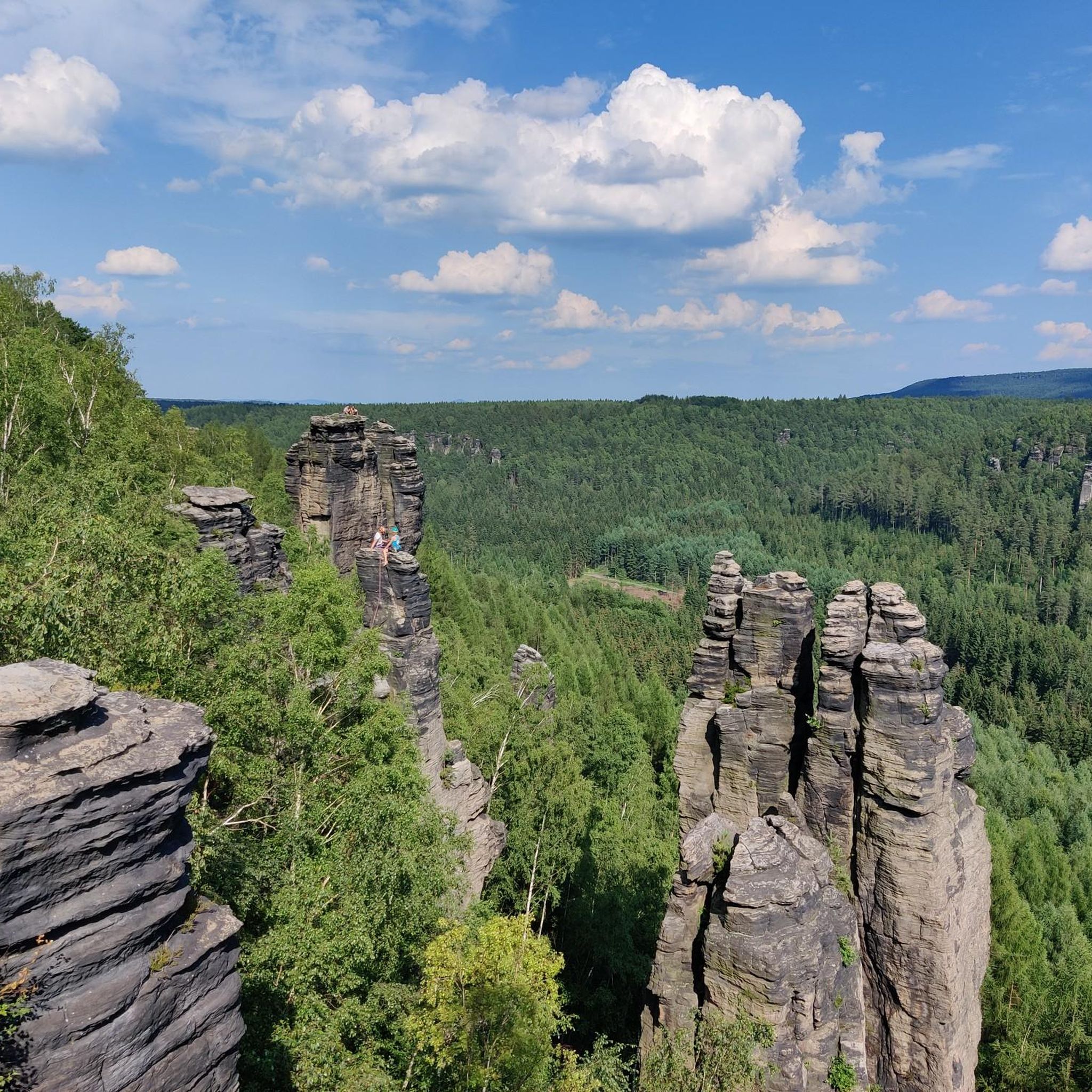
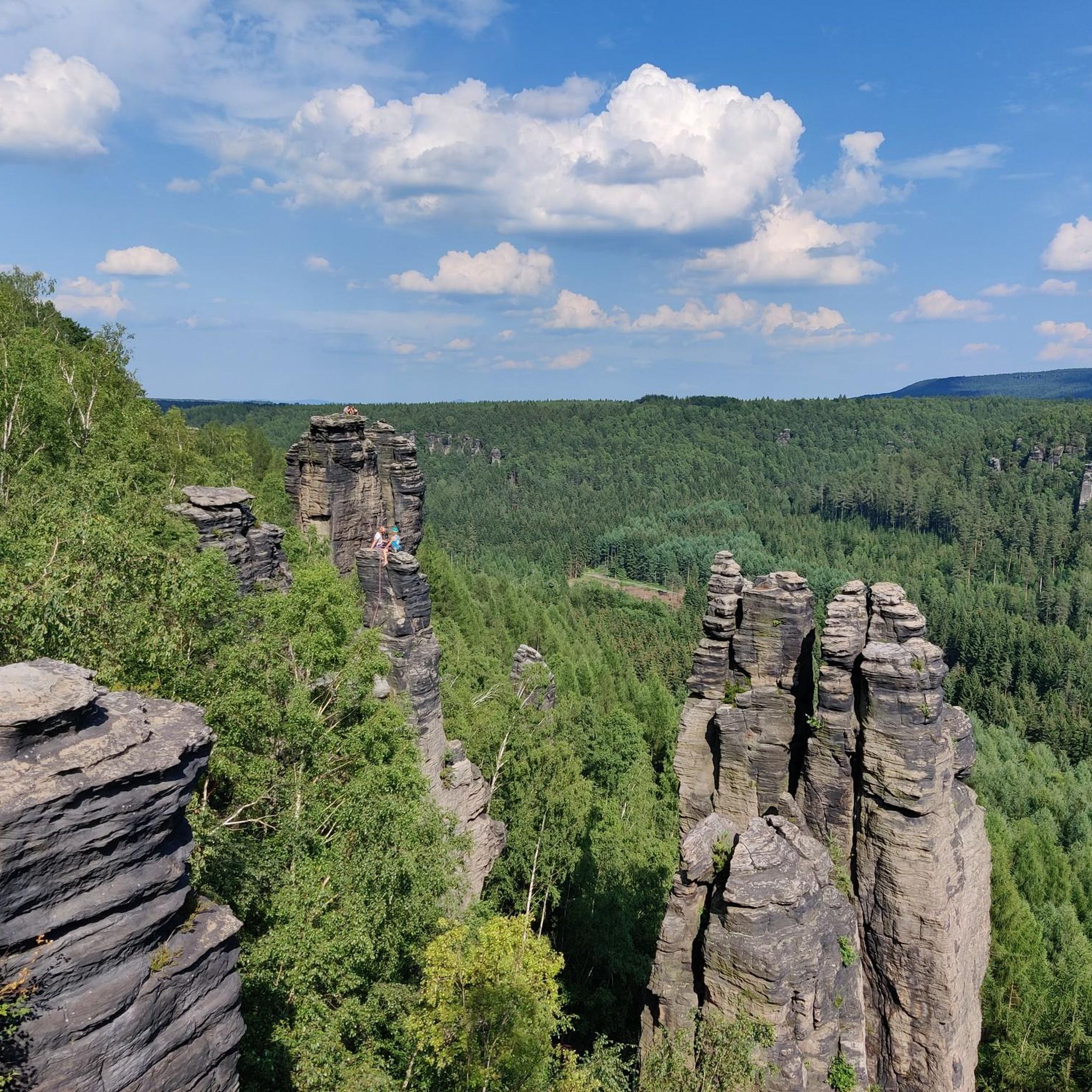
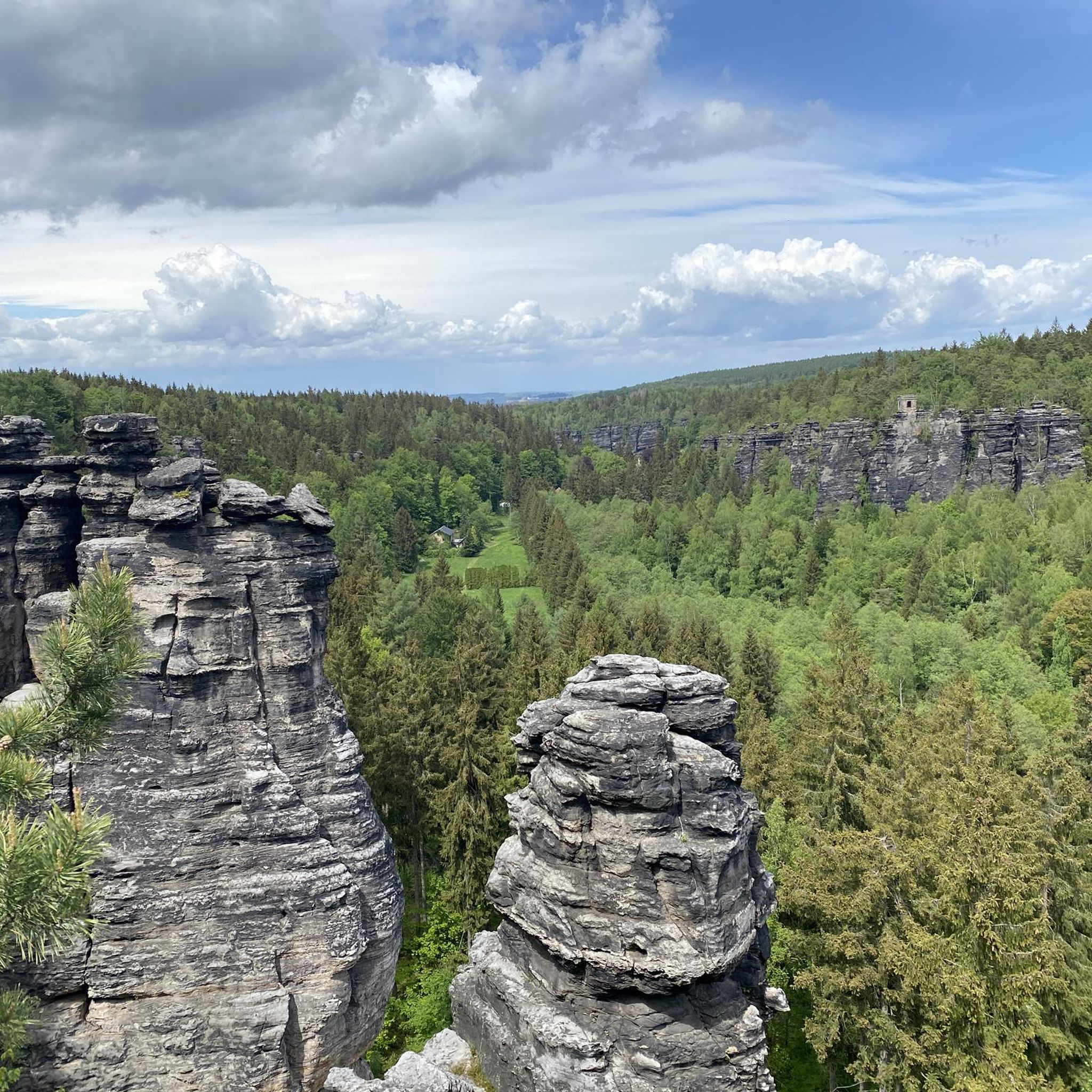
Mountaineering around Rosenthal-Bielatal offers routes through the distinctive sandstone landscapes of Saxon Switzerland. The region is characterized by its dramatic rock formations, deep valleys, and dense forests, providing varied terrain for ascents and traverses. These routes often lead to prominent table mountains and rock pinnacles, showcasing the unique geological features of the area.
Best mountaineering routes around Rosenthal-Bielatal
- The most popular mountaineering route is Pfaffenstein – Bellohöhle loop from Königstein (Sächs Schweiz) Hp, a 5.7 miles (9.2 km) trail…
Last updated: September 28, 2026
5.0
(4)
14
hikers
9.33km
03:11
450m
450m
Hard mountaineering route. Good fitness required. Sure-footedness, sturdy shoes and alpine experience required.
5.0
(6)
22
hikers
9.90km
03:17
390m
390m
Hard mountaineering route. Good fitness required. Sure-footedness, sturdy shoes and alpine experience required.

5.0
(2)
4
hikers
Hard mountaineering route. Very good fitness required. Sure-footedness, sturdy shoes and alpine experience required.
5.0
(1)
4
hikers
10.2km
03:11
330m
330m
Hard mountaineering route. Good fitness required. Sure-footedness, sturdy shoes and alpine experience required.
5.0
(2)
11
hikers
Moderate mountaineering route. Good fitness required. Mostly accessible paths. Sure-footedness required.
Get access to more routes and recommendations from other explorers.
Already have an account?
Our route recommendations are based on thousands of hikes, rides, and runs completed by other people on komoot.
Start today with a free account
Your next adventure awaits.
Popular around Rosenthal-Bielatal
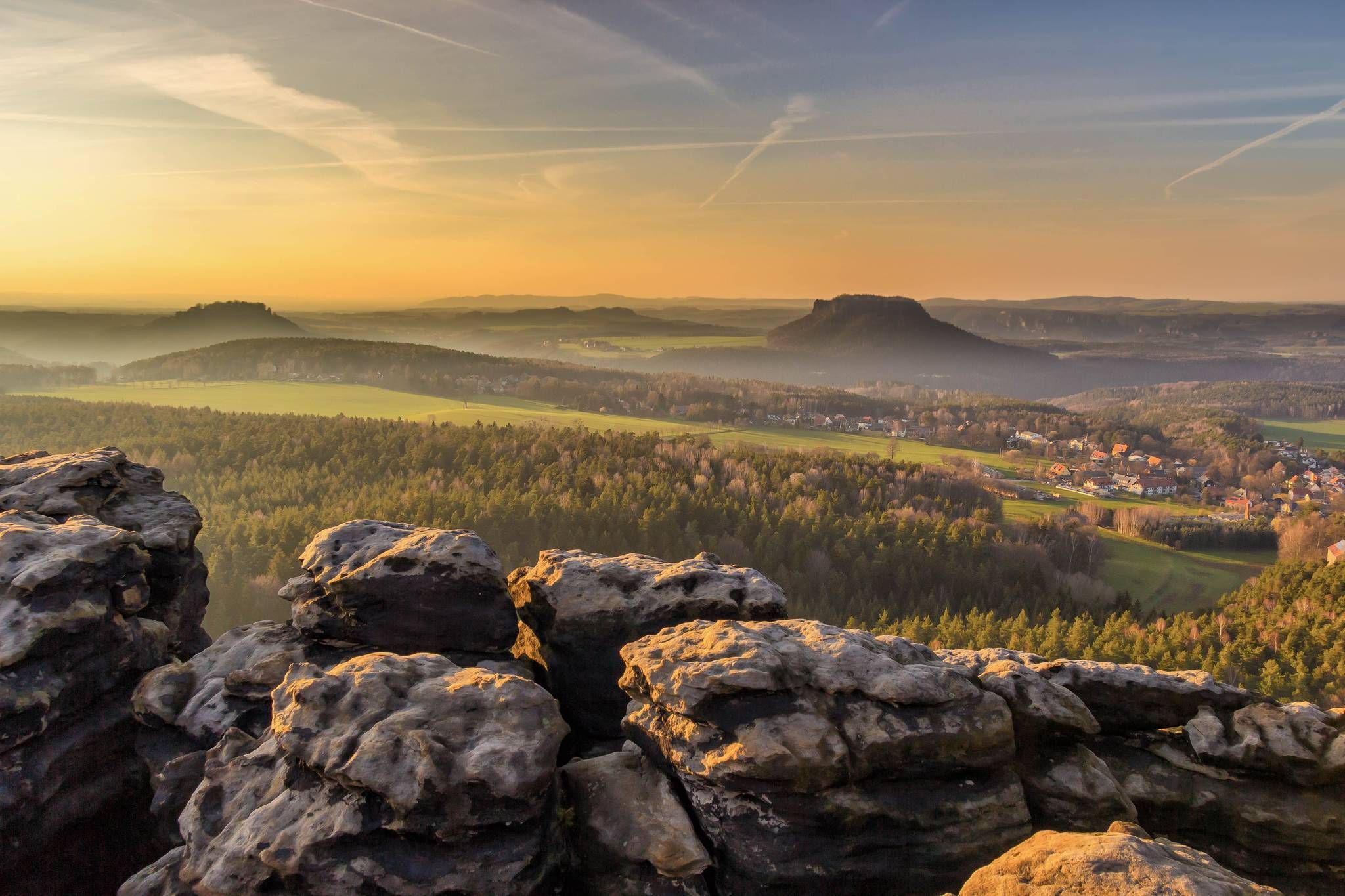
Forststeig – 7 days in the wild, remote sandstone mountains
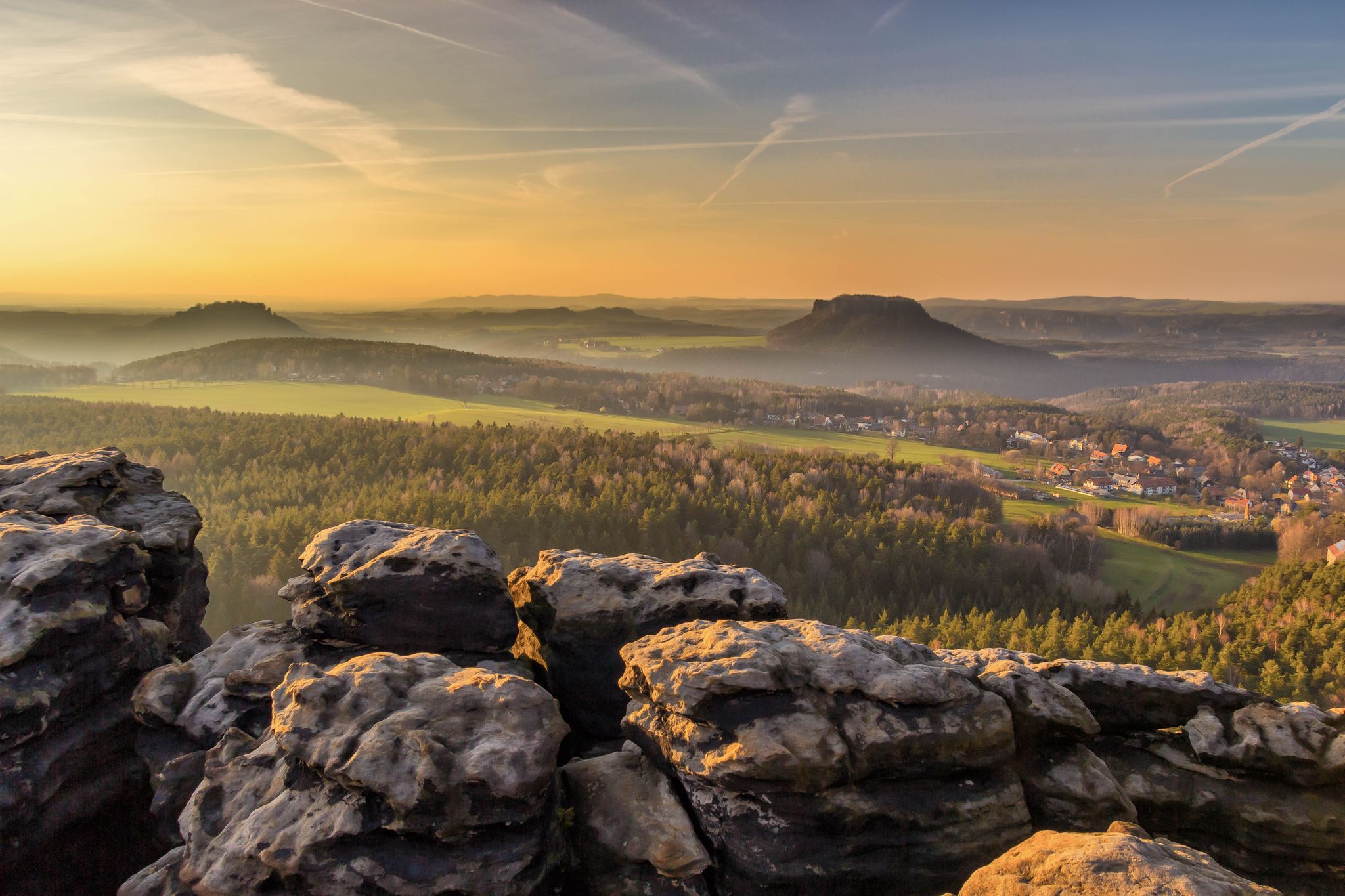
National Park Region Saxon Switzerland: Hiking Recommendations 2023
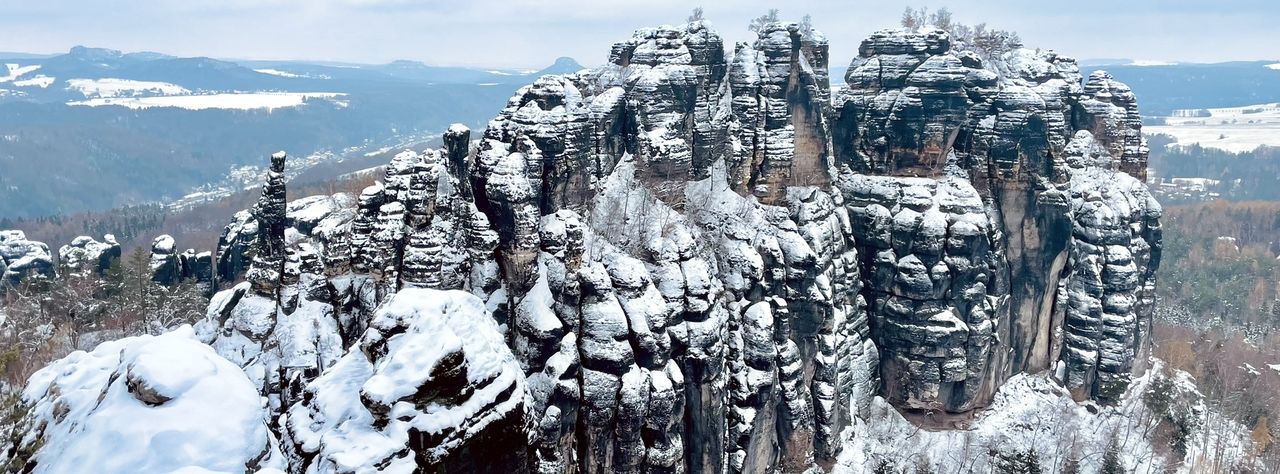
Winterwanderungen in der Sächsischen Schweiz
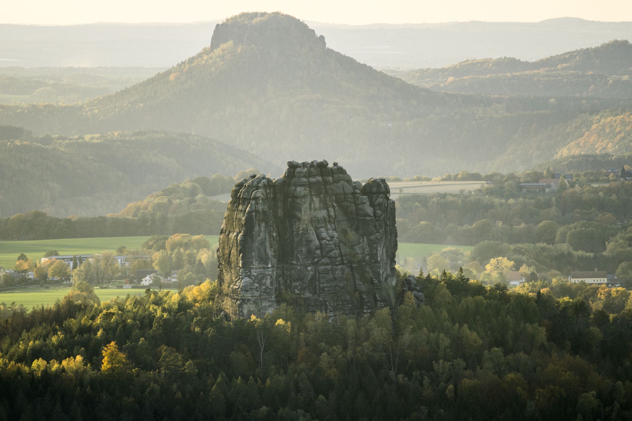
Wanderempfehlungen Nationalparkregion Sächsische Schweiz
Hiking around Rosenthal-Bielatal
Gravel biking around Rosenthal-Bielatal
Road Cycling Routes around Rosenthal-Bielatal
MTB Trails around Rosenthal-Bielatal
Cycling around Rosenthal-Bielatal
Running Trails around Rosenthal-Bielatal
Other adventures around Rosenthal-Bielatal


Tips from the Community


You have a very beautiful view of the surrounding mountains. Pfaffenstein, Königstein and Papststein are not too far away. It is also very beautiful here at sunset.
0
0


Beautiful southern view from the Pfaffenstein over the Elbe valley with the various table mountains in the distance!
1
0


Wonderful nature, not as crowded as e.g. B. Bastei or Schrammsteine
2
0
Where the name comes from is clear after countless stairs, just before you reach the top. Like the thread, you have to thread yourself through the hole.
2
1
Frequently Asked Questions
How many mountaineering routes are available in Rosenthal-Bielatal?
Rosenthal-Bielatal offers nearly 100 mountaineering routes, providing a wide range of options for exploring the distinctive sandstone landscapes of Saxon Switzerland. The komoot community has contributed to over 90 routes in the area.
Are there mountaineering routes suitable for beginners in Rosenthal-Bielatal?
Yes, Rosenthal-Bielatal features several routes suitable for beginners. There are 4 easy routes available, perfect for those new to mountaineering or looking for a less strenuous experience. These routes allow you to enjoy the unique rock formations and forests at a comfortable pace.
What are some challenging mountaineering routes for experienced climbers?
For experienced mountaineers, Rosenthal-Bielatal offers 59 difficult routes. A challenging option is the Gohrischstein Summit (440 m) – Papststein (table mountain, 451 m) loop from Gohrisch, which spans 9.9 km and ascends two prominent table mountains, providing expansive views. Another demanding route is the Goldschmidt Cave – Pfaffenstein loop from Königstein (Sächs Schweiz) Hp, covering 15.7 km through varied forest and rock terrain.
What kind of natural landmarks can I expect to see along the routes?
The region is famous for its dramatic sandstone rock formations and deep valleys. Many routes lead to prominent table mountains and rock pinnacles. For example, the Pfaffenstein – Bellohöhle loop from Königstein (Sächs Schweiz) Hp features the iconic Pfaffenstein rock formation. You might also encounter the impressive Barbarine Rock Formation on routes like the Barbarine Rock Formation – Pfaffenstein loop from Gohrisch.
Are there any circular mountaineering routes in Rosenthal-Bielatal?
Yes, many of the mountaineering routes in Rosenthal-Bielatal are circular, allowing you to start and end at the same point. Examples include the Pfaffenstein – Bellohöhle loop from Königstein (Sächs Schweiz) Hp, the Gohrischstein Summit (440 m) – Papststein (table mountain, 451 m) loop from Gohrisch, and the Pfaffenstein – Barbarine Rock Pinnacle loop from Königstein.
What are the best times of year for mountaineering in Rosenthal-Bielatal?
The best times for mountaineering in Rosenthal-Bielatal are typically spring, summer, and autumn. During these seasons, the weather is generally more stable, and the trails are clear. Spring offers lush greenery, summer provides warmer temperatures, and autumn showcases vibrant foliage, making for picturesque ascents.
What do other mountaineers enjoy most about the routes in Rosenthal-Bielatal?
The komoot community highly rates the mountaineering routes in Rosenthal-Bielatal, with an average score of 4.8 stars from over 200 reviews. Users frequently praise the unique sandstone rock formations, the varied terrain, and the stunning views from the table mountains and rock pinnacles. The well-maintained paths and the sense of adventure are also commonly highlighted.
Are there any historical sites or castles near the mountaineering trails?
Yes, the region around Rosenthal-Bielatal is rich in history and features several impressive castles. You can explore highlights such as Königstein Fortress, a vast hilltop fortification, or the picturesque Hohnstein Castle. The Neurathen rock castle also offers a unique historical experience integrated into the natural rock landscape.
Can I find any interesting caves or gorges along the routes?
Absolutely. The sandstone landscape of Rosenthal-Bielatal is home to several fascinating caves and gorges. Notable examples include the Gautsch Grotto and the Lichter Cave (Kleinhennersdorfer Rock). You might also encounter the dramatic Teufelsschlüchte (Devil's Gorges), offering a unique geological experience.
What should I bring for a mountaineering trip in Rosenthal-Bielatal?
When mountaineering in Rosenthal-Bielatal, it's essential to bring appropriate gear. This includes sturdy hiking boots, weather-appropriate clothing (layers are recommended), sufficient water and snacks, a map or GPS device (like komoot), and a first-aid kit. Depending on the route's difficulty, poles might also be beneficial for stability on uneven terrain.
Are there any viewpoints offering panoramic vistas?
Many routes in Rosenthal-Bielatal lead to spectacular viewpoints. Ascending table mountains like Gohrischstein and Papststein, as seen on the Gohrischstein Summit (440 m) – Papststein (table mountain, 451 m) loop from Gohrisch, provides expansive views of the surrounding Saxon Switzerland landscape. The Pfaffenstein also offers excellent panoramic opportunities.
How long do mountaineering routes in Rosenthal-Bielatal typically take?
The duration of mountaineering routes in Rosenthal-Bielatal varies significantly based on distance and difficulty. Moderate routes, such as the Pfaffenstein – Bellohöhle loop from Königstein (Sächs Schweiz) Hp (9.2 km), can take around 3 hours. More difficult and longer routes, like the Goldschmidt Cave – Pfaffenstein loop from Königstein (Sächs Schweiz) Hp (15.7 km), may require over 5 hours to complete.
Most popular routes around Rosenthal-Bielatal
Most popular attractions around Rosenthal-Bielatal

Get inspired with the komoot mobile app


Explore more
Browse the best Mountain Hikes & Routes in other regions.
