The best walks and hikes around Haironville
4.5
(50)
311
hikers
37
hikes
Hiking around Haironville offers a diverse landscape characterized by rolling hills, agricultural fields, and dense woodlands. The region features historical sites, including several castles, which are often incorporated into hiking routes. Terrain generally consists of well-maintained paths and forest tracks, providing varied experiences for hikers. The area's elevation changes are typically gentle, making it accessible for different fitness levels.
Best hiking trails around Haironville
- The most popular hiking route is Loop of the Castles, an 8.5 miles (13.7 km)…
Last updated: July 5, 2026
4.0
(4)
22
hikers
13.7km
03:38
140m
140m
Hike a moderate 8.5-mile loop from Robert-Espagne, exploring the scenic Saulx river valley and three historic castles.
4.0
(5)
9
hikers
7.73km
02:04
90m
90m
Moderate hike. Good fitness required. Easily-accessible paths. Suitable for all skill levels.

Sign up for free
3.5
(2)
13
hikers
7.88km
02:05
70m
70m
Moderate hike. Good fitness required. Easily-accessible paths. Suitable for all skill levels.
8
hikers
5.07km
01:21
50m
50m
Easy hike. Great for any fitness level. Easily-accessible paths. Suitable for all skill levels.
5.0
(2)
4
hikers
14.1km
03:41
110m
110m
Moderate hike. Good fitness required. Easily-accessible paths. Suitable for all skill levels.
Get access to more routes and recommendations from other explorers.
Sign up for free
Already have an account?
Our route recommendations are based on thousands of hikes, rides, and runs completed by other people on komoot.
Start today with a free account
Your next adventure awaits.
Login or Signup



Tips from the Community

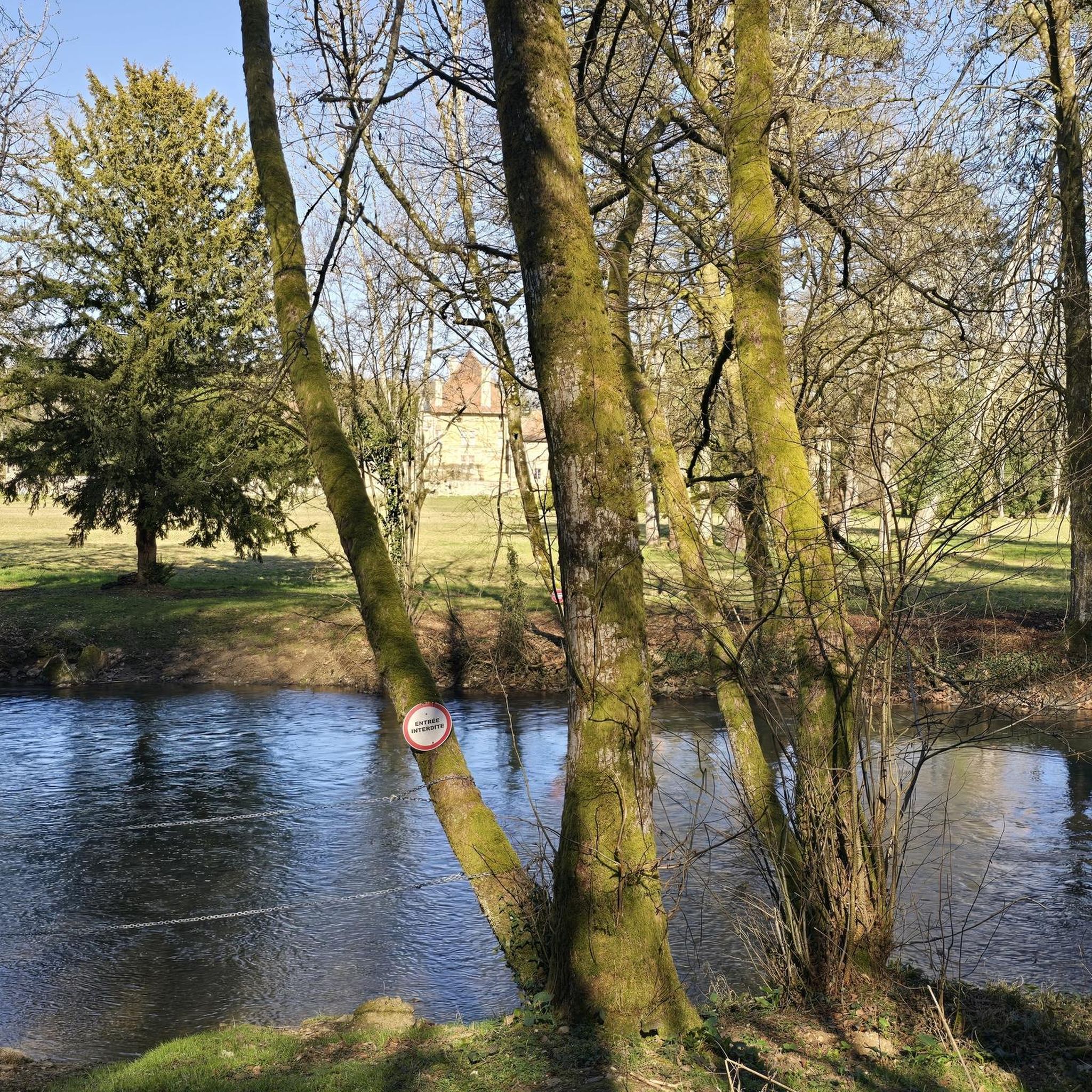
The Château de Jeand'heurs is a former Prémontrés abbey transformed into a castle in 1808. The castle is surrounded by a beautiful park, where you can admire the architecture, the gardens and the Saulx river. You will also be able to discover the different buildings and structures dating from the First Empire, such as the orangery, stables and factories.
3
0
Château de Lisle is an 18th century castle where you can admire the elegant architecture and richly decorated interiors of the former stately residence, which are classified as historic monuments. You can also explore the surrounding countryside, which offers panoramic views of the Saulx River and neighboring villages. Château de Lisle is the ideal place to immerse yourself in the history and culture of this region.
3
0
The Château de Ville-sur-Saulx is a Renaissance castle built in 1550 by Gilles de Trèves. The castle is surrounded by a beautiful English garden and a cast iron bridge over the Saulx. You can explore the park and admire the architecture of the castle, which is listed in the inventory of historical monuments. You can also learn about the life and work of Paul Claudel, a famous French playwright who wrote one of his greatest plays, "Le Partage de Midi", at the castle. The Château de Ville-sur-Saulx is an ideal destination for history and nature lovers.
3
0

Réseau du Rupt du Puits is an underground cave system with over 11 km in length. Together with grotto Beva connected by a siphon even 17 km in length. The cave was discovered in November 1971 after a 400-meter-long dive. Four years later was drilled in second artificial entrance and thus a dry one Access created for the speleologists.
3
1
Réseau du Rupt du Puits is an underground cave system with over 11 km in length. Together with Grotte de la Beva connected by a siphon even 17 km in length. The cave was discovered in November 1971 after a 400-meter-long dive. Four years later, a second artificial entrance was drilled through, creating a dry access for the speleologists.
4
1
Frequently Asked Questions
How many hiking trails are available in Haironville?
Haironville offers a good selection of routes, with over 45 hiking trails to explore. These range from easy strolls to more challenging treks, ensuring options for various fitness levels.
Are there easy hiking trails suitable for beginners or families in Haironville?
Yes, Haironville has 15 easy hiking routes perfect for beginners or families. One example is the Perte-gouffre loop from Robert-Espagne, which is 3.2 miles (5.1 km) long and takes about 1 hour 21 minutes to complete, leading through varied natural terrain.
Can I find challenging hikes around Haironville?
While most routes are moderate, there are 2 more challenging hikes available for those seeking a greater test. The region's terrain generally features gentle elevation changes, but these routes offer a more strenuous experience.
Are dogs allowed on the hiking trails in Haironville?
Generally, dogs are welcome on hiking trails in the Haironville region, especially on forest tracks and rural paths. However, it's always advisable to keep them on a leash, particularly near agricultural areas or when passing through villages, and to check for any specific local regulations or protected areas.
Are there any circular hiking routes in Haironville?
Yes, many of the trails in Haironville are circular, offering convenient starting and ending points. For instance, the popular Loop of the Castles is an 8.5-mile (13.7 km) circular route that explores historical castle grounds and the surrounding countryside.
What kind of scenery can I expect on hikes around Haironville?
Hiking around Haironville offers a diverse landscape of rolling hills, expansive agricultural fields, and dense woodlands. You'll also encounter historical sites, including several castles, which are often integrated into the hiking routes, providing a mix of natural beauty and cultural interest.
Are there historical sites or landmarks to see while hiking in Haironville?
Absolutely. The Haironville region is rich in history. You can explore sites like the Ruins of the Abbey of Trois-Fontaines or the Saint-Dizier castle and fortifications. Many trails, such as the Ville-sur-Saulx Castle – Lisle Castle loop, specifically highlight these historical landmarks.
What is the best time of year to go hiking in Haironville?
The best time to hike in Haironville is typically from spring to autumn (April to October), when the weather is mild and the natural scenery is at its most vibrant. Spring brings blooming wildflowers, while autumn offers beautiful foliage. Summer is also pleasant, though it can be warmer.
Where can I park when hiking in Haironville?
Parking is generally available in or near the villages that serve as starting points for many trails, such as Ville-sur-Saulx or Robert-Espagne. Look for designated parking areas or roadside spots, but always be mindful of local regulations and private property.
Do I need a permit to hike in Haironville?
No, you do not typically need a permit to hike on the public trails and paths around Haironville. The region's trails are generally open for public access. However, always respect private property and any posted signs.
What do other hikers enjoy most about Haironville?
The area is highly rated by the komoot community, with an average score of 4.5 stars from over 40 reviews. Reviewers often praise the mix of historical sites, the tranquility of the woodlands, and the well-maintained paths that make for enjoyable and accessible hiking experiences.
Are there any trails that pass by cafes or places to eat?
While specific trails may not directly pass by cafes, many routes start or end in villages like Ville-sur-Saulx or Robert-Espagne, where you can often find local establishments to grab a bite or a drink before or after your hike. It's a good idea to check village amenities beforehand.
What are the typical durations and distances of hikes in Haironville?
Hikes in Haironville vary in length and duration. You can find shorter routes like the Perte-gouffre loop at 3.2 miles (5.1 km) taking about 1 hour 21 minutes, up to longer excursions such as the Loop of the Castles, which is 8.5 miles (13.7 km) and typically takes around 3 hours 38 minutes.
Most popular routes around Haironville
Most popular attractions around Haironville

Get inspired with the komoot mobile app


Explore more
Browse the best Hikes in other regions.
