The best walks and hikes around Prunet
4.3
(61)
552
hikers
29
hikes
Hiking around Prunet offers diverse natural features and varied terrain. The region is characterized by panoramic views, particularly from Prunet's altitude of 580 meters, and extensive woodlands. Forests composed of Scots pine, spruce, beech, and oak provide shaded paths for exploration. The landscape includes both gentle slopes and areas with moderate elevation gain, making it suitable for different hiking abilities.
Best hiking trails around Prunet
- The most popular hiking route is Carbonat Castle loop from Place de Carbonat, a…
Last updated: October 30, 2026
4.1
(8)
47
hikers
4.92km
01:21
80m
80m
Easy hike. Easily walkable paths.
3.3
(4)
16
hikers
8.98km
02:48
350m
350m
Moderate hike. Good fitness required. Easily walkable paths.

4.3
(3)
17
hikers
7.44km
02:05
150m
150m
Moderate hike. Good fitness required. Easily walkable paths.
4.3
(3)
16
hikers
9.09km
02:32
170m
170m
Moderate hike. Good fitness required. Easily walkable paths.
4.7
(3)
9
hikers
8.22km
02:33
310m
310m
Moderate hike. Good fitness required. Easily walkable paths.
Get access to more routes and recommendations from other explorers.
Already have an account?
Our route recommendations are based on thousands of hikes, rides, and runs completed by other people on komoot.
Start today with a free account
Your next adventure awaits.
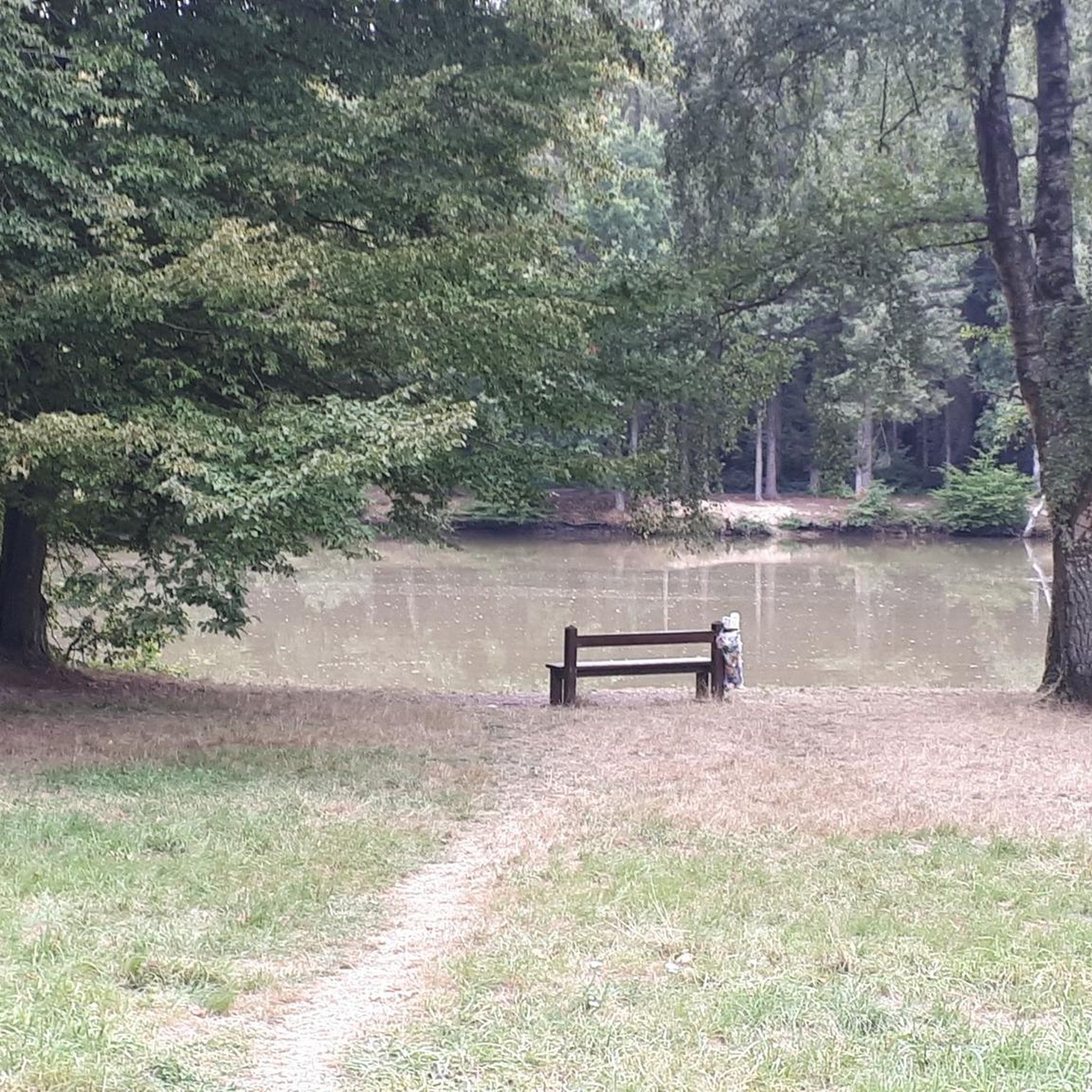
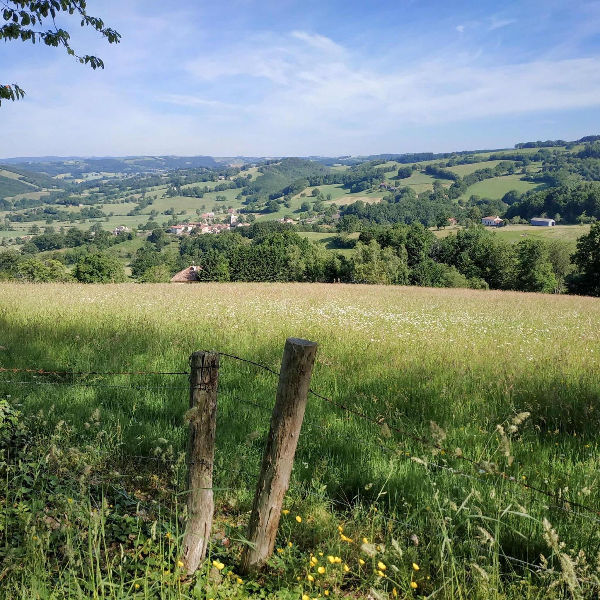

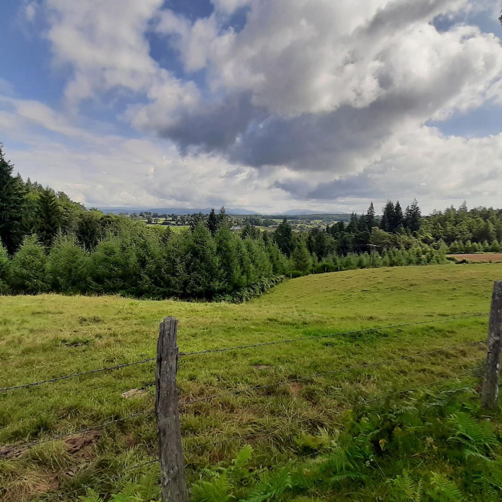
Tips from the Community

Charming stream near Ladinhac.
0
0

Superb walk which crosses the valley twice via magnificent undergrowth paths, crossing the river at the bottom of the valley by two pedestrian footbridges, view of the mountains on the ridge, we finish by walking along the Carlat rock. You need a good physical condition but the paths are all very passable and superbly signposted. This path indeed follows the ‘chemin des manores’ created by the association ‘les crampons de Murgat’. The recorded route includes a 1km detour put in place due to a recent landslide (April 2024).
0
0

Small town of Marcolès with character. It has the particularity of hosting the international cycling criterium every year at the beginning of August.
1
0
Small chapel in the magnificent Goul valley, built on a ridge, on a site that has remained very wild. Formerly, it was dedicated to Saint Anne, who cured jaundice.
1
0

At the entrance of the village stands this magnificent manor house, wonderfully restored and transformed into a restaurant serving excellent local food.
0
0
Very beautiful medieval village with its shopping street and its local crafts.
1
1
Frequently Asked Questions
What kind of terrain can I expect on hikes near Prunet?
Hikes around Prunet feature varied terrain, from gentle slopes to areas with moderate elevation gain. You'll find paths winding through diverse woodlands, including chestnut groves and forests composed of Scots pine, spruce, beech, and oak. Many routes offer beautiful panoramas of the surrounding mountain range.
Are there any easy hiking trails suitable for beginners or families in Prunet?
Yes, Prunet offers several easy trails. For instance, the Marcolès – Le Manoir de Marcolès loop from Marcolès is an easy 3.1-mile (4.9 km) path, perfect for a gentle walk through the countryside. Overall, there are 13 easy routes available in the area.
What are the best times of year to go hiking in Prunet?
Prunet is enjoyable for hiking across multiple seasons. The region's diverse forests provide shaded paths, making it pleasant even in warmer months. Spring and autumn offer comfortable temperatures and beautiful scenery, especially with the changing colors of the chestnut groves and other woodlands.
Are there any circular hiking routes around Prunet?
Yes, many of the trails around Prunet are designed as loops, allowing you to start and end at the same point. Examples include the popular Carbonat Castle loop from Place de Carbonat and the Hiking loop from Carlat, both offering varied landscapes.
What natural features or landmarks can I see while hiking near Prunet?
Prunet is known for its scenic panoramas, especially from its altitude of 580 meters. You can explore extensive forests with various tree species like Scots pine and beech. Nearby natural attractions include Lake Val de Saune, a pleasant lake, and trails that run along the Saune River. For historical interest, the village of Marcolès and Le Manoir de Marcolès are also points of interest.
Are the hiking trails in Prunet dog-friendly?
While specific regulations for each trail can vary, many natural areas and trails in Prunet are generally welcoming to dogs, especially if kept on a leash. The diverse woodlands and open countryside offer plenty of space for you and your canine companion to enjoy. Always check local signage for any specific restrictions.
What do other hikers enjoy most about the trails in Prunet?
The hiking trails in Prunet are highly rated by the komoot community, with an average score of 4.3 stars from over 40 reviews. Hikers often praise the panoramic viewpoints, the diverse and shaded forests, and the varied terrain that offers options for different ability levels.
Are there any hikes that feature water elements like rivers or lakes?
Yes, the region around Prunet includes natural attractions such as Lake Val de Saune, which is described as a very pleasant lake. Additionally, some trails, like those near Quint-Fonsegrives, run along the Saune River, offering a refreshing natural setting.
How long do hikes in Prunet typically take?
Hiking durations vary depending on the route's length and difficulty. For example, the Ruisseau de Cances loop from Ladinhac, a moderate 4.6-mile (7.4 km) trail, takes about 2 hours 30 minutes. Shorter, easy routes can be completed in under 2 hours, while longer moderate trails might take up to 3 hours or more.
Is there parking available at the trailheads in Prunet?
While specific parking details vary by trailhead, many hiking routes in Prunet, especially those starting from villages or popular points like 'Place de Carbonat', typically have designated parking areas nearby. It's advisable to check the route details on komoot for specific parking information before you go.
Are there any cafes or places to eat near the hiking trails in Prunet?
The region around Prunet, including nearby villages like Marcolès, offers amenities such as cafes and restaurants. For example, Le Manoir de Marcolès is a notable spot. It's a good idea to plan your hike to pass through or end near these villages if you're looking for refreshments.
What is the most challenging hike available in Prunet?
While most routes in Prunet are easy to moderate, there is at least one difficult trail available for those seeking a greater challenge. These routes typically feature more significant elevation gains and rugged terrain. For example, the Hiking loop from Carlat is a moderate route with over 340 meters of elevation gain, offering a good workout.
Most popular attractions around Prunet

Get inspired with the komoot mobile app


Explore more
Browse the best Hikes in other regions.
