The best running trails around Thonne-Le-Thil
4.5
(22)
1,165
runners
106
runs
Jogging around Thonne-Le-Thil offers diverse natural landscapes and historical sites. The region is characterized by its scenic Meuse valley, extensive forests, and varied terrain, providing numerous jogging routes. Paths around Mont Saint-Walfroy offer panoramic views, while other trails explore the local countryside. This area provides options for different fitness levels, from gentle forest paths to more challenging ascents.
Best jogging routes around Thonne-Le-Thil
- The most popular jogging route is Mont Saint Walfroy — loop — running from chapel St Donat…
Last updated: May 12, 2026
5.0
(1)
4
runners
12.7km
01:26
200m
200m
Moderate run. Good fitness required. Mostly accessible paths. Some sure footedness required.
26
runners
6.13km
00:41
100m
100m
Moderate run. Good fitness required. Mostly paved surfaces. Suitable for all skill levels.

Sign up for free
16
runners
9.67km
01:03
140m
140m
Moderate run. Good fitness required. Mostly paved surfaces. Suitable for all skill levels.
6
runners
7.92km
00:50
90m
90m
Moderate run. Good fitness required. Mostly paved surfaces. Suitable for all skill levels.
5
runners
7.97km
00:56
160m
160m
Moderate run. Good fitness required. Mostly paved surfaces. Suitable for all skill levels.
Get access to more routes and recommendations from other explorers.
Sign up for free
Already have an account?
Our route recommendations are based on thousands of hikes, rides, and runs completed by other people on komoot.
Start today with a free account
Your next adventure awaits.
Login or Signup
Tips from the Community

After the boardwalk you cross the river here.
9
0

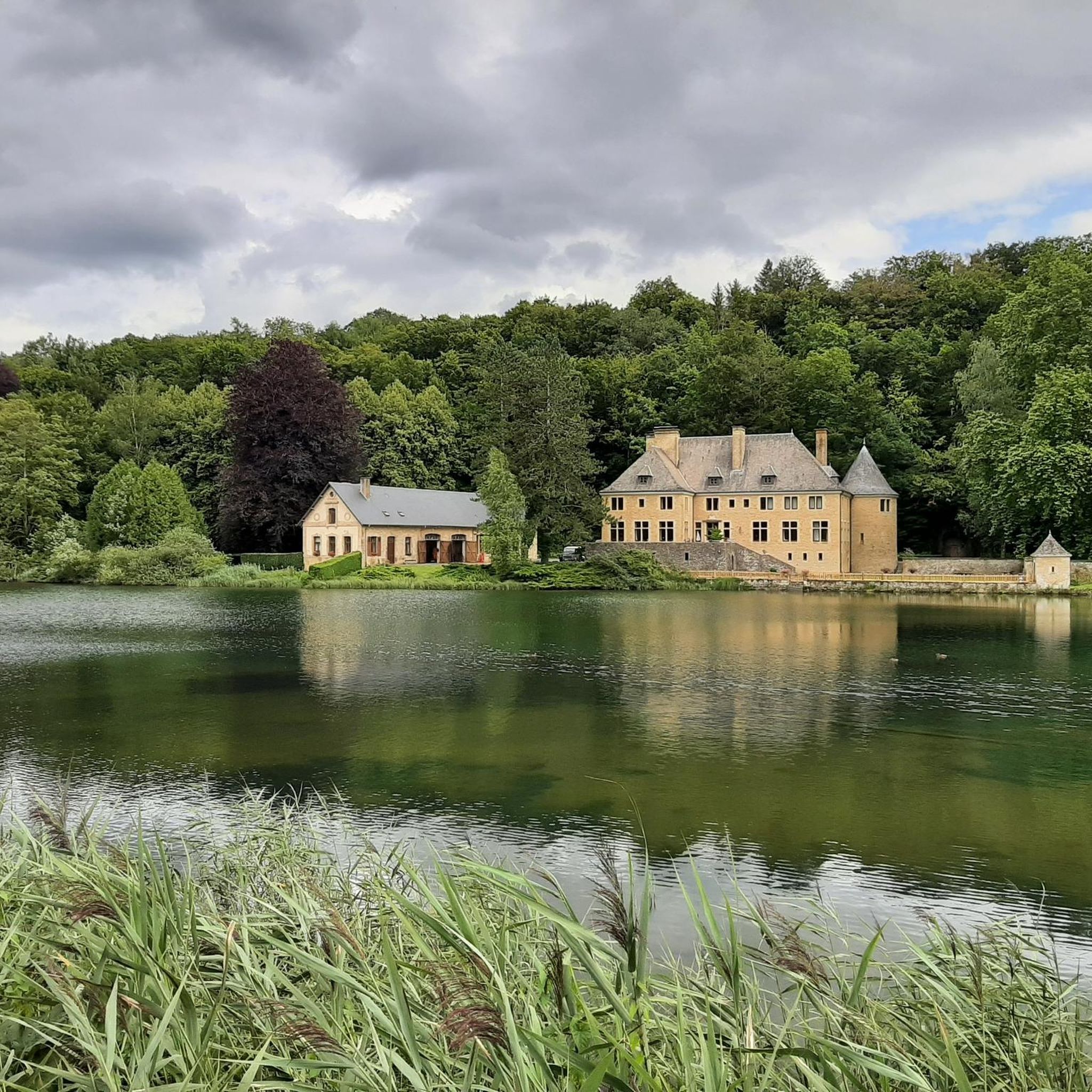
By taking rue des Hawys, you discover the water wheel belonging to a very beautiful mill. Still active, you can see it working. Witness to a bygone past, admire this masterpiece of know-how.
0
0

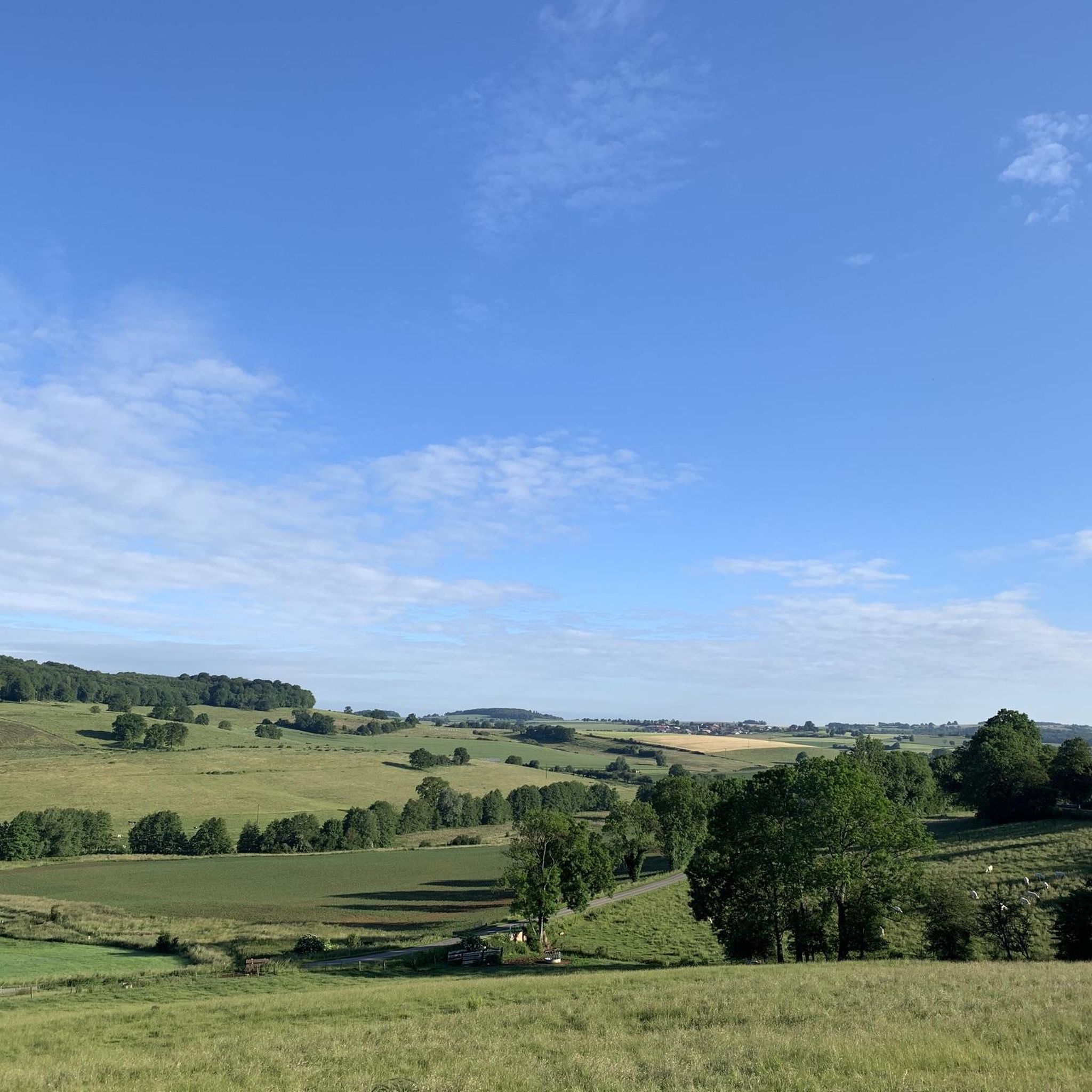
This dirt path winds between green fields on one side and the forest on the other. With a little luck you might come across a few cows grazing!
0
0
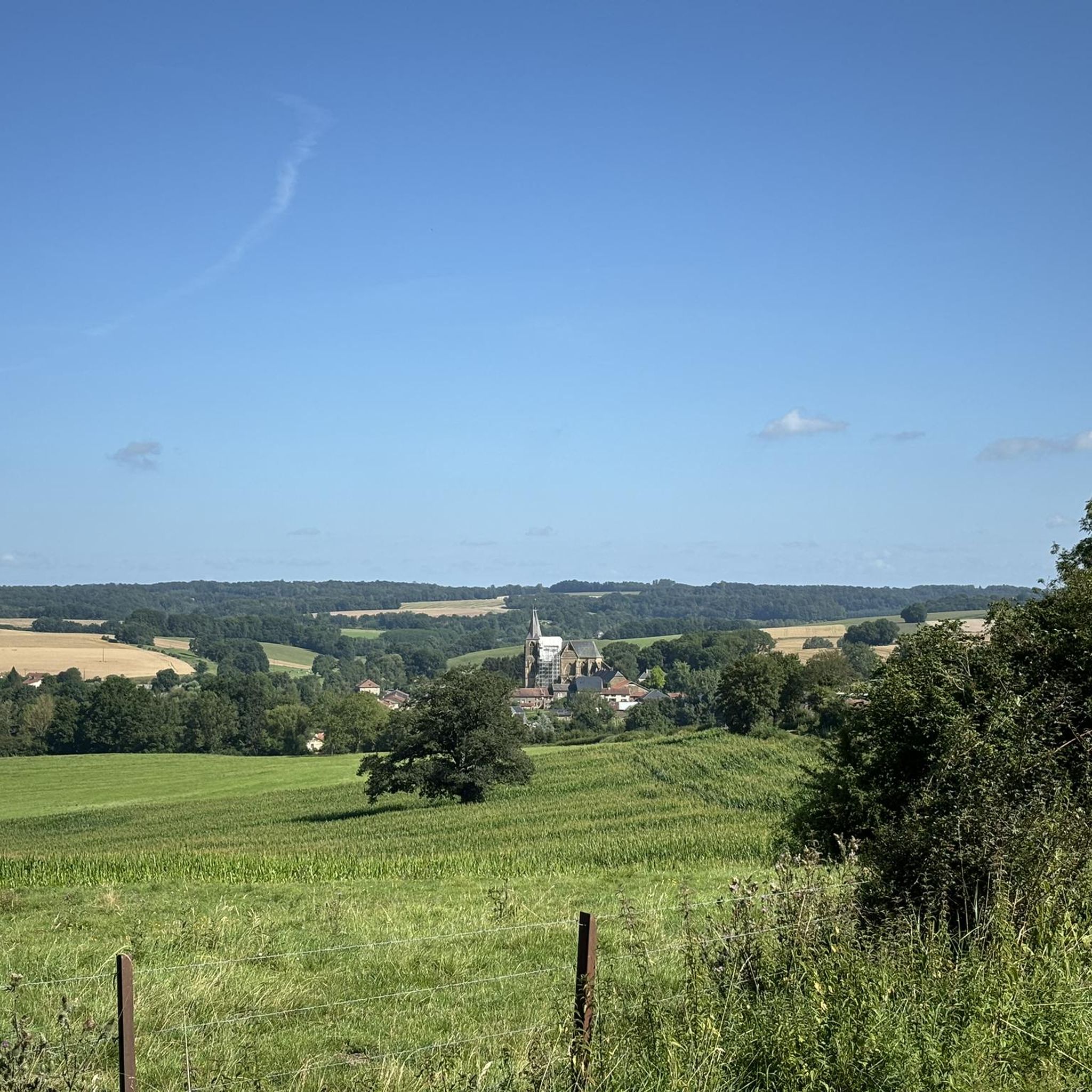
The Gothic church of Saint-Michel d'Erbeuval was built in 1888. It features neo-Gothic furniture and its stained-glass windows are by the glass painters Bulteau (Reims) and Étienne et Mouilleron (Bar-le-Duc).
3
0

With one foot in the Belgian Ardennes and one foot in the French Ardennes
1
0

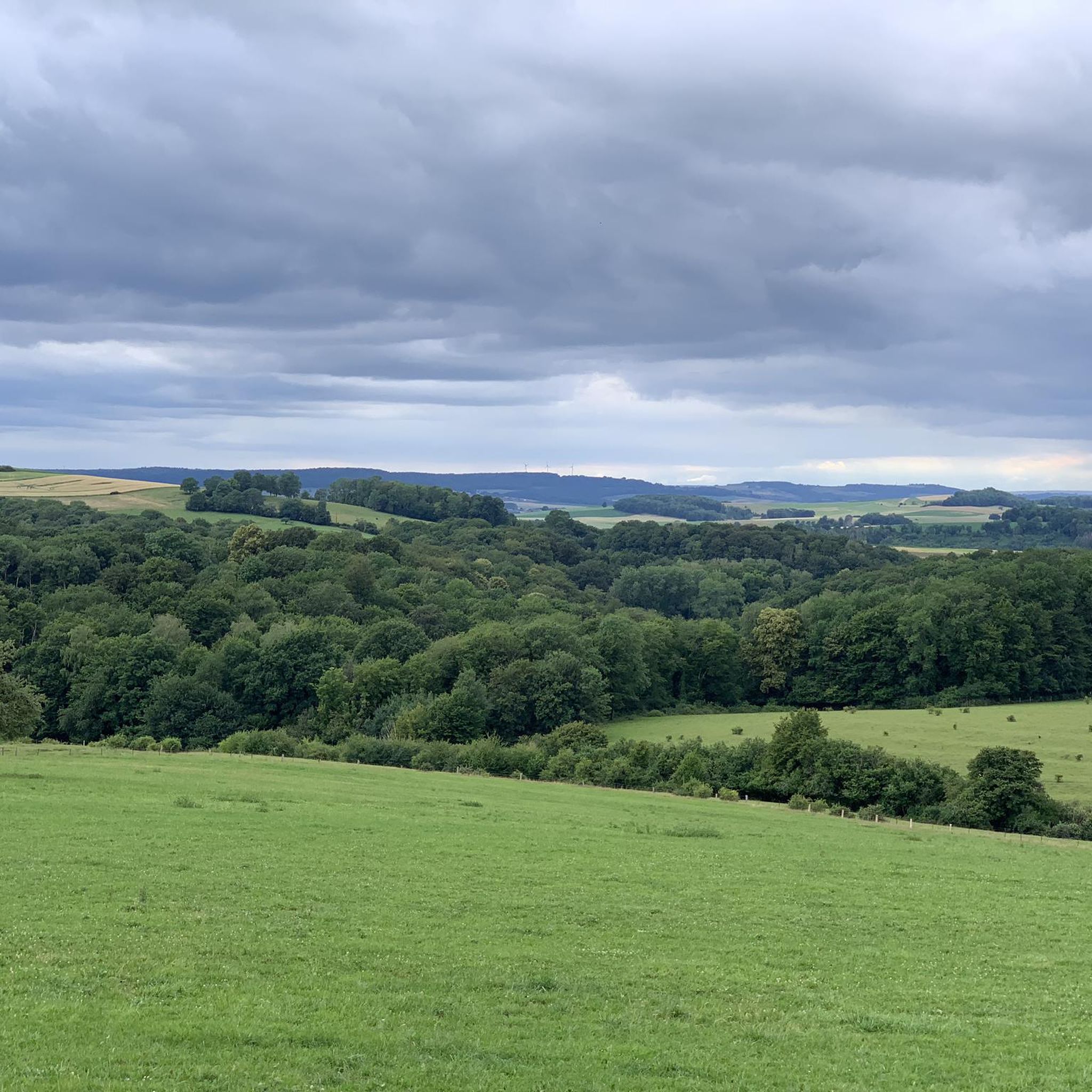
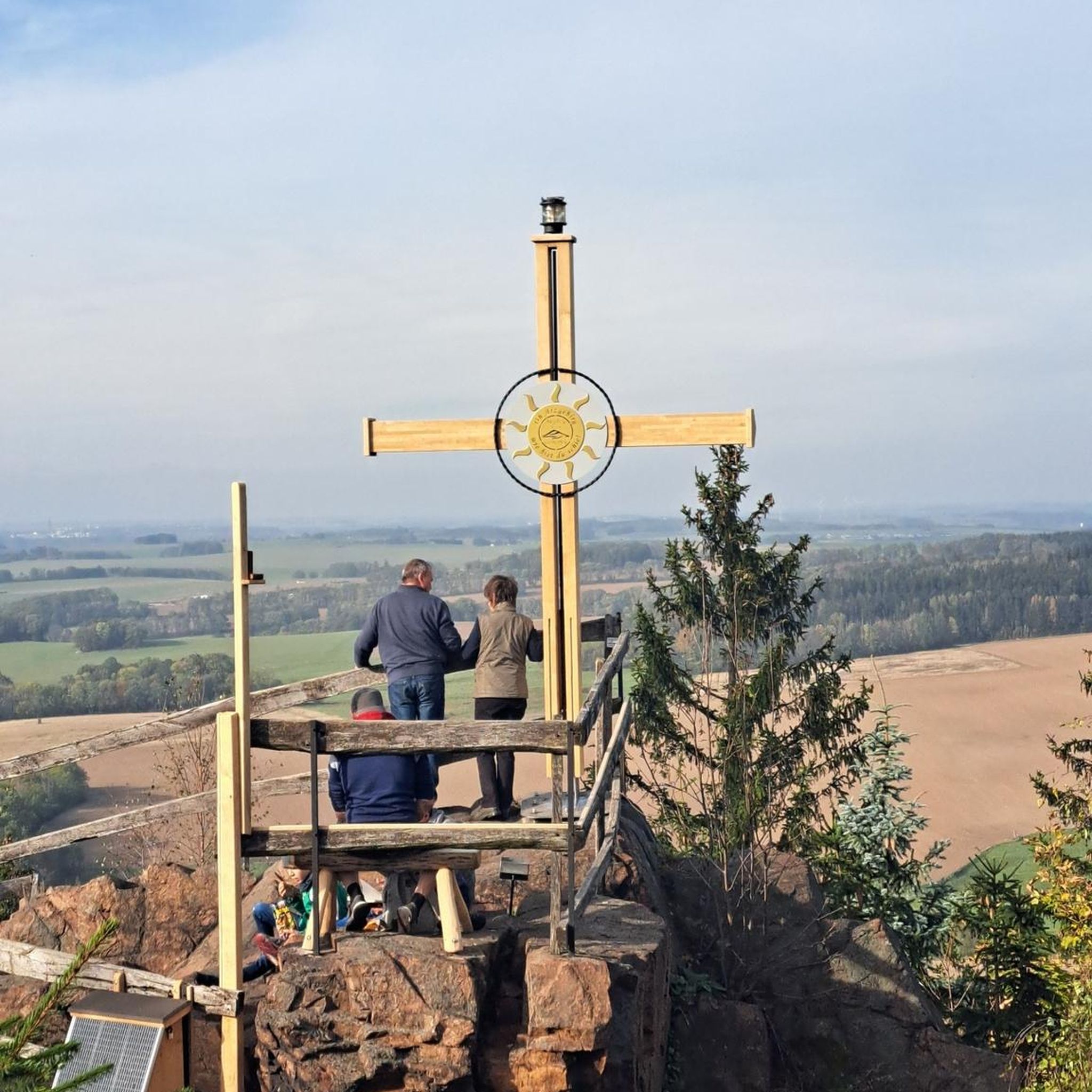
Magnificent view on a clear day. A few minutes of rest is good after this climb++
1
0

It's worth taking a break from your run to appreciate the breathtaking views of the rolling landscapes of the Ardennes.
2
0
Mont Saint-Walfroy was formerly a place of pagan worship, then a hermitage of Saint Walfroy, the apostle of the Ardennes. You will appreciate the panoramic views of the Meuse valley and the surrounding forests, as well as the historical and religious importance of this place. Along the way, you will pass by the Chapelle Saint-Donat, a small chapel dedicated to a local saint.
2
0
Frequently Asked Questions
How many running routes are available around Thonne-Le-Thil?
There are over 100 running routes around Thonne-Le-Thil, offering a wide variety of options for different fitness levels and preferences. You'll find everything from easy loops to more challenging trails.
What kind of terrain can I expect on the jogging trails in Thonne-Le-Thil?
The jogging trails in Thonne-Le-Thil feature diverse terrain, including paths through the scenic Meuse valley, extensive forests, and elevated historical sites. You can expect a mix of gentle forest paths and routes with more challenging ascents, such as those leading up Mont Saint-Walfroy.
Are there any easy running routes suitable for beginners or a relaxed jog?
Yes, Thonne-Le-Thil offers 10 easy running routes perfect for beginners or those looking for a relaxed jog. These routes typically feature less elevation gain and are often found along the river valleys or through flatter forest sections.
Can I find running routes that offer scenic views or historical landmarks?
Absolutely! Many running routes in the area provide scenic views and pass by historical landmarks. For instance, the Mont Saint Walfroy — loop — running from chapel St Donat offers panoramic vistas of the Meuse valley. You can also explore routes near the Citadel of Montmédy or the Ruins of Montquintin Castle for a historical jogging experience.
Are there any circular running routes in Thonne-Le-Thil?
Yes, many of the running routes around Thonne-Le-Thil are circular, allowing you to start and finish at the same point. A popular option is the Mont Saint Walfroy — loop — running from chapel St Donat, which is a 7.9-mile loop offering varied terrain and views.
What are some notable attractions or points of interest I can see while running?
While running, you can encounter several interesting attractions. The Citadel of Montmédy and the Ruins of Montquintin Castle offer historical sights. For natural beauty, routes near the Lake of La Soye or viewpoints like the View of the Abbey's castle provide picturesque settings.
What do other runners say about the trails in Thonne-Le-Thil?
The running routes in Thonne-Le-Thil are highly rated by the komoot community, with an average score of 4.4 stars from over 19 reviews. Runners often praise the diverse natural landscapes, the tranquility of the forests, and the well-maintained paths that cater to various fitness levels.
Are there any challenging running trails for experienced runners?
Yes, for experienced runners seeking a challenge, there are 11 difficult routes available. An example is the Ruisseau de Williers – GenGould Watermill loop from Margny, a 10.2-mile trail with significant elevation gain, often completed in about 1 hour 46 minutes.
Can I find routes that combine historical sites with natural landscapes?
Certainly. The region is rich in both natural beauty and history. A great example is the Sainte-Thérèse Chapel – Farm-castle — 18th century loop from Margny, a moderate 3.8-mile path that explores historical sites while winding through the local countryside.
What are the typical distances and durations for running routes in this area?
Running routes in Thonne-Le-Thil vary widely. You can find shorter paths like the 3.8-mile Sainte-Thérèse Chapel – Farm-castle — 18th century loop from Margny, which takes about 40 minutes, up to longer trails such as the 10.2-mile Ruisseau de Williers – GenGould Watermill loop from Margny, typically completed in around 1 hour 46 minutes.
Are there any running routes that pass by water features?
Yes, you can find routes that incorporate water features. The Ruisseau de Williers – GenGould Watermill loop from Margny, for example, leads past the GenGould Watermill. Additionally, the region features the serene Lake of La Soye, offering potential for tranquil lakeside runs.
What is the best time of year for running in Thonne-Le-Thil?
Thonne-Le-Thil offers excellent running conditions throughout much of the year. Spring and autumn provide pleasant temperatures and vibrant scenery, while summer is ideal for early morning or late evening runs. Even winter can be beautiful, with crisp air and potentially snowy landscapes, though some trails might require more suitable footwear.
Most popular routes around Thonne-Le-Thil
Most popular attractions around Thonne-Le-Thil

Get inspired with the komoot mobile app


Explore more
Browse the best Running Trails & Routes in other regions.
