The best mountain hikes around Bärenstein
4.3
(3)
22
hikers
6
hikes
Mountaineering around Bärenstein offers routes through the mountainous terrain of the Erzgebirgskreis region. The landscape is characterized by dense forests, significant elevation changes, and prominent peaks like Fichtelberg and Klínovec. These routes provide opportunities to explore natural reserves and reach mountain summits.
Best mountaineering routes around Bärenstein
- The most popular mountaineering route is Fichtelberg Nature Reserve – Fichtelberg Mountain Lodge loop from Oberwiesenthal, a 6.8 miles (10.9 km) trail that takes 4 hours 1 minute to complete, traversing a…
Last updated: September 28, 2026
5.0
(1)
9
hikers
10.1km
03:48
630m
630m
Moderate mountaineering route. Good fitness required. Mostly accessible paths. Sure-footedness required.
14.6km
04:42
560m
570m
Moderate mountaineering route. Good fitness required. Mostly accessible paths. Sure-footedness required.

5.0
(1)
1
hikers
15.2km
04:33
460m
460m
Moderate mountaineering route. Good fitness required. Easily-accessible paths. Suitable for all skill levels.
Moderate mountaineering route. Good fitness required. Mostly accessible paths. Sure-footedness required.
3.0
(1)
6
hikers
12.2km
04:18
720m
720m
Moderate mountaineering route. Good fitness required. Easily-accessible paths. Suitable for all skill levels.
Our route recommendations are based on thousands of hikes, rides, and runs completed by other people on komoot.
Start today with a free account
Your next adventure awaits.
Popular around Bärenstein
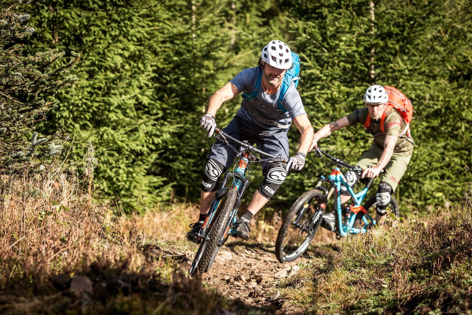
The Stoneman Trail in the Ore Mountains
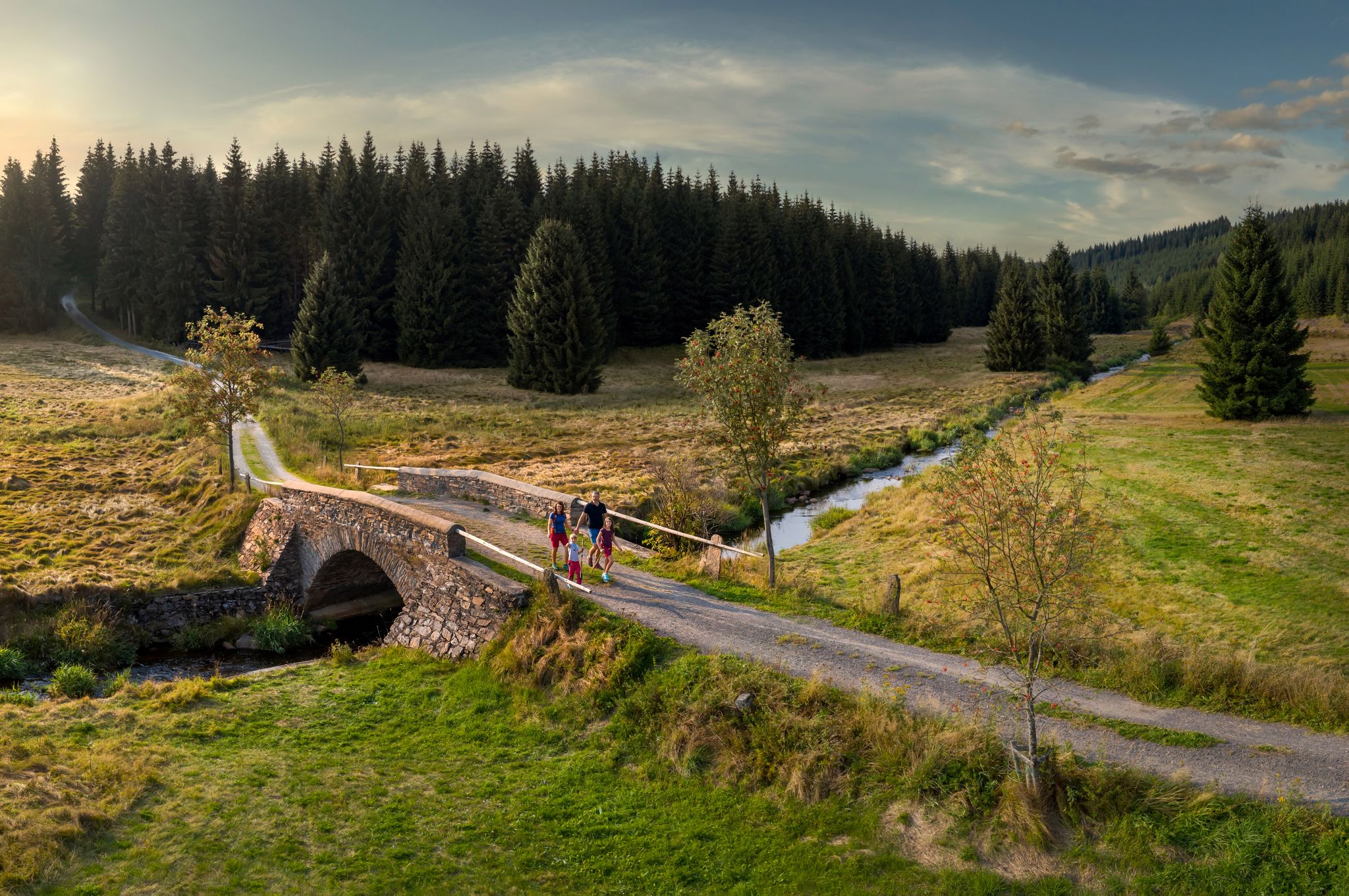
‘Good luck’ in the hiking paradise of the Ore Mountains

History meets nature – Erzgebirge-Vogtland Ridge Trail
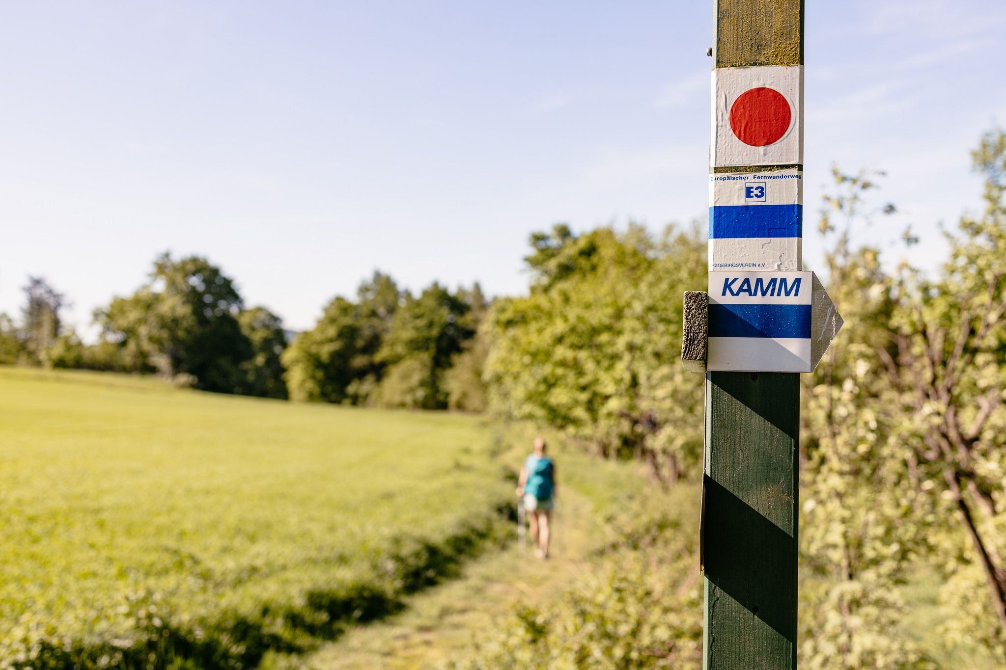
Der Kammweg Erzgebirge-Vogtland aus Sicht einer Bloggerin

Wandertouren - Eisenbahn & Wanderstock

Wandertouren - Gipfelglück
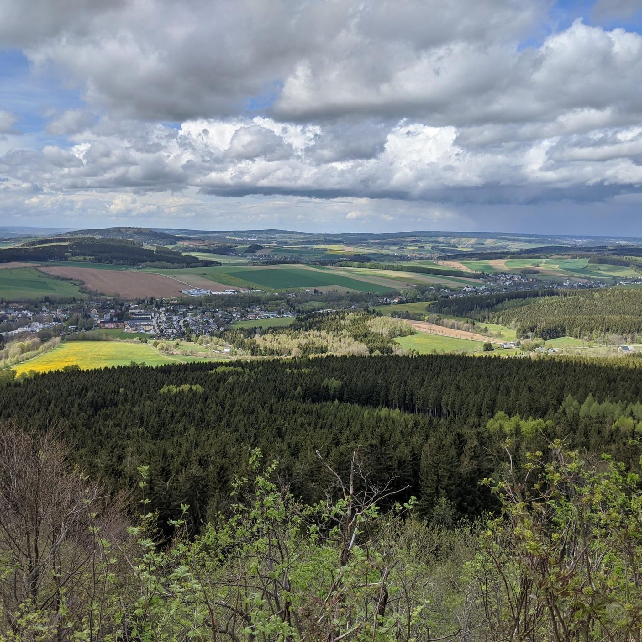
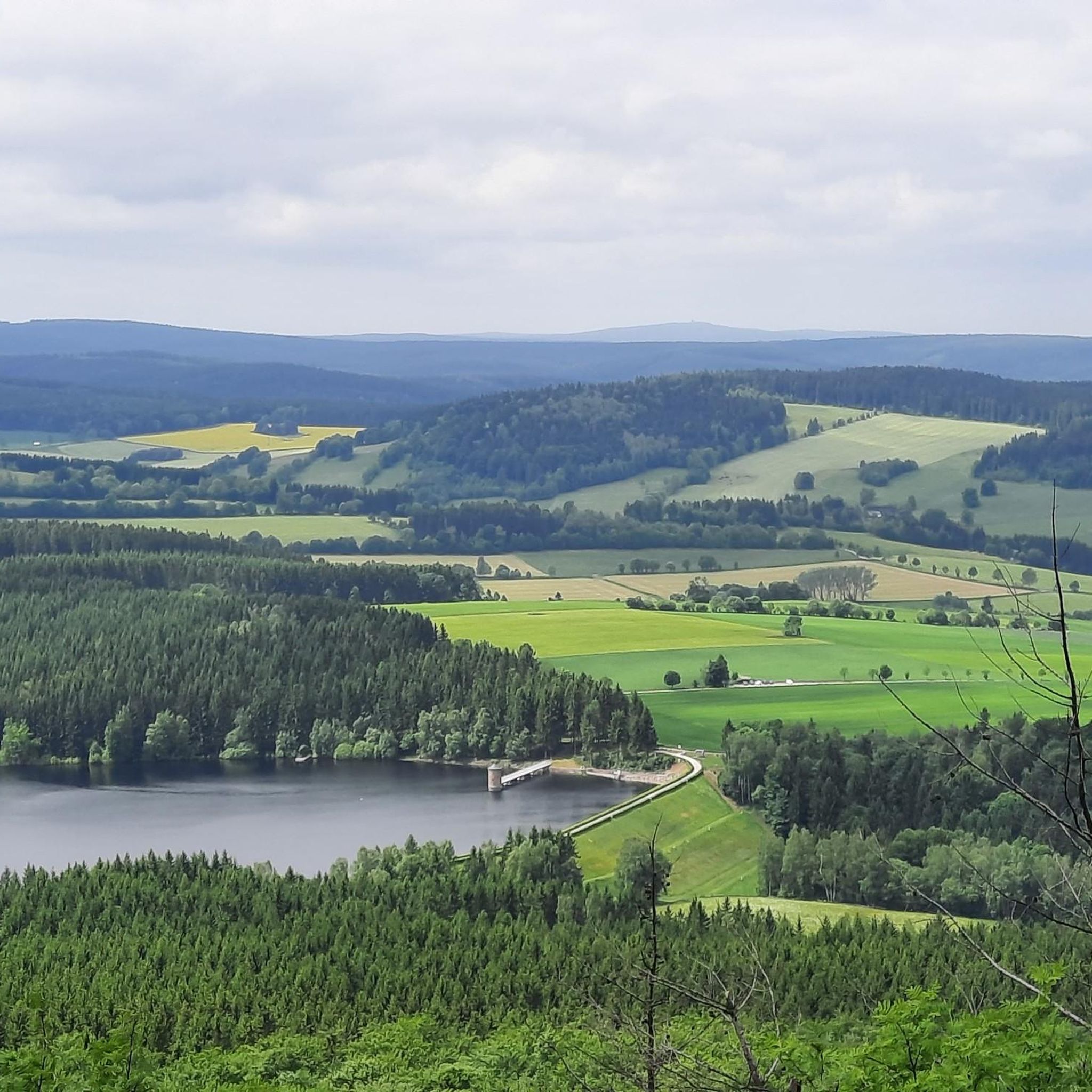
Hiking around Bärenstein
MTB Trails around Bärenstein
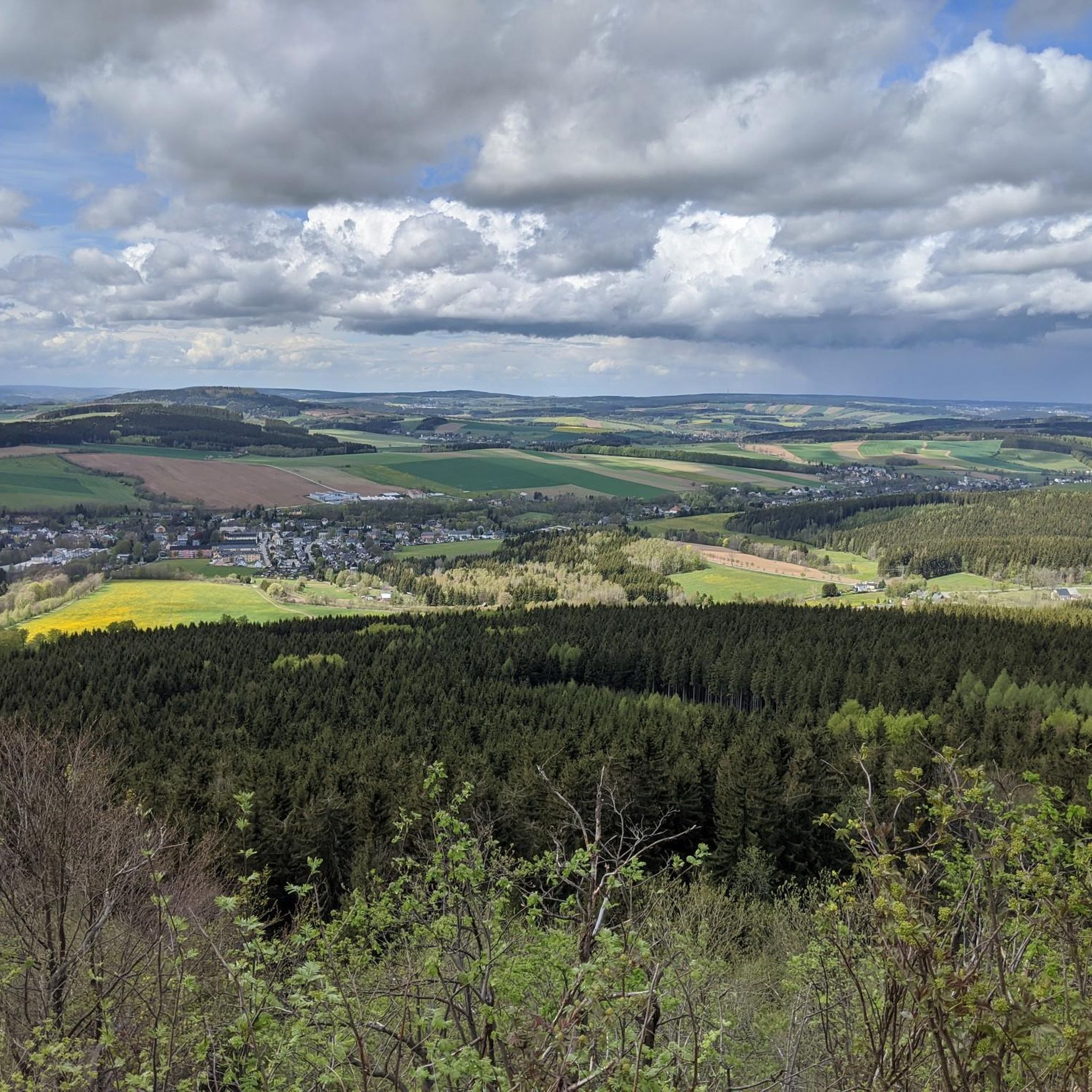
Cycling around Bärenstein
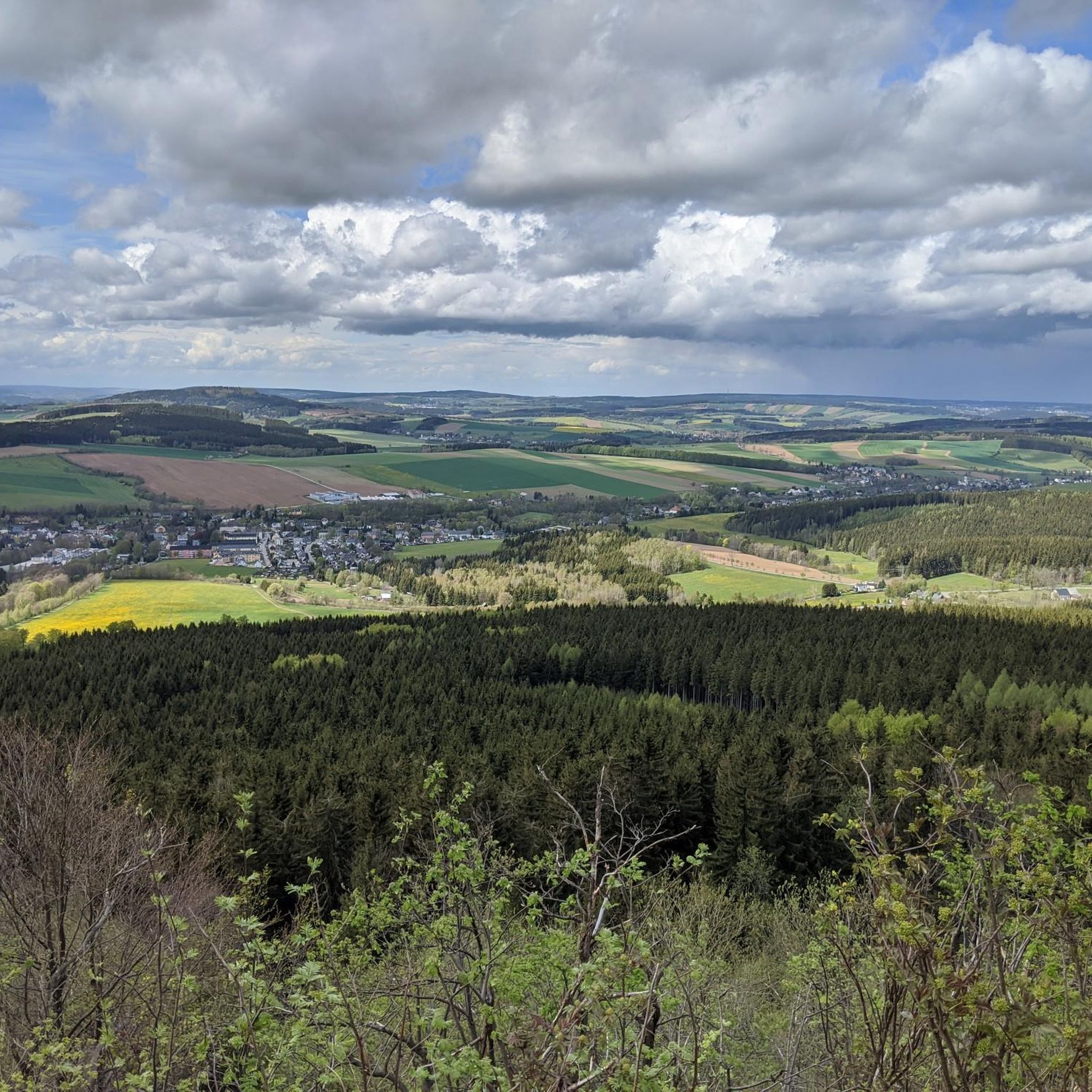
Road Cycling Routes around Bärenstein
Other adventures around Bärenstein


Tips from the Community

You can take a good break here when you are exhausted from the climb.
0
0

The Gottesgaber Torfmoor educational trail leads through the internationally important wetland of the Božídarské rašeliniště nature reserve. A large part of the path runs over wooden boardwalks – for the safety of visitors, but above all to protect the sensitive moor and its rare animal and plant species. Along the path, twelve information boards inform you about the nature of the moor, past peat extraction, geology, as well as typical animals and plants.
1
0

Magnificent paths crisscross the vast coniferous forests
0
0

A beautiful region in summer as well as in winter, whether on foot, by bike or by ski.
0
1

The Fichtelberg near Oberwiesenthal in the Erzgebirge district is, at 1214.79 m above sea level, the highest mountain in Saxony. It was also the highest mountain in East Germany (GDR). Together with the nearby Klínovec (Keilberg; 1243.7 m above sea level) on the Czech side, it forms the most important winter sports center in the Erzgebirge. Source and further information: https://de.m.wikipedia.org/wiki/Fichtelberg_(Erzgebirge)
3
0

The Klínovec ski area is the largest ski area in the Ore Mountains. Its highest point is the summit of Klínovec (Keilberg) at 1,244 meters. Skiing has been taking place here since the early 20th century. The first lift was built in the 1960s, and a snowmaking system was added in 1998. In 2005, a triple chairlift was built on the "Dámská" slope on the north face. The ski area offers winter sports enthusiasts two black slopes, four red slopes, five blue slopes, and several connecting slopes.
17
1
This column testifies that the Fichtelberg was one of 158 stations of the "Central European Triangulation" in 1864. During the Royal Saxon Triangulation, the land in Saxony was surveyed between 1862 and 1890, and a trigonometric grid was created at the same time, which was intended to serve as the basis for accurate maps.
16
1
The Traktor Oberwiesenthal sports club's luge track has been out of use for 35 years. Founded in 1955, the club was dissolved in 1990, and its successor, the Oberwiesenthaler SV 1990, saw itself as its successor. The naturally iced luge track, constructed from concrete elements and opened in the winter of 1969/1970 for the GDR luge training center, has been deteriorating since 1990 and is overgrown with vegetation. However, you can still walk the entire 1,100-meter-long track with its 18 curves and admire the buildings that enrich this lost place, such as the scoring booths and observation bridge. At the first Olympic luge competitions in Innsbruck in 1964, SC Traktor athletes dominated the field. Ortrun Enderlein and Ilse Geisler won gold and silver medals in the women's race, and Thomas Köhler and Klaus-Michael Bonsack won silver in the men's race.
17
2
Frequently Asked Questions
How many mountaineering routes are available around Bärenstein?
There are currently 6 mountaineering routes documented around Bärenstein on komoot, all offering moderate challenges through the region's mountainous terrain.
Are there any easy or beginner-friendly mountaineering routes in Bärenstein?
While all listed mountaineering routes around Bärenstein are rated as moderate, beginners with a good level of fitness can find suitable options. For example, the Old luge track on Fichtelberg – Fichtelberg Peace Bell loop from Oberwiesenthal is one of the shorter moderate routes, covering 8.7 km with 300 m of elevation gain, making it a good starting point.
What are the best routes for experienced mountaineers looking for a challenge?
For experienced mountaineers, routes that combine significant elevation with longer distances are ideal. Consider the Klínovec Summit loop from Loučná pod Klínovcem, which features over 720 meters of elevation gain over 11.9 km, offering a substantial workout and rewarding views from the highest peak in the Ore Mountains.
Are there any circular mountaineering routes around Bärenstein?
Yes, many of the mountaineering routes in the Bärenstein area are circular, allowing you to start and end at the same point. A popular option is the Klínovec TV Tower – Boží Dar town center loop from LSG Fichtelberg, a 15.2 km trail that guides you through forested areas and past a prominent landmark.
What kind of natural attractions or landmarks can I see along the routes?
The routes around Bärenstein offer opportunities to explore natural reserves and reach mountain summits. You might encounter highlights such as the Cranzahl Dam or the Lower Basin of the Markersbach Pumped Storage Plant. The Fichtelberg Nature Reserve – Fichtelberg Mountain Lodge loop from Oberwiesenthal specifically traverses a nature reserve.
What is the best time of year for mountaineering in Bärenstein?
The best time for mountaineering around Bärenstein is typically from late spring through early autumn (May to October). During these months, the weather is generally milder, trails are clear of snow, and the forests are lush. Autumn offers particularly beautiful foliage.
What are the winter mountaineering conditions like around Bärenstein?
Winter mountaineering in Bärenstein can be challenging due to snow and ice, especially at higher elevations like Fichtelberg and Klínovec. Trails may be covered, requiring appropriate winter gear such as snowshoes or microspikes. Always check local weather forecasts and trail conditions before heading out in winter.
Are there any cafes or places to eat near the mountaineering trails?
Yes, several routes pass by or lead to mountain lodges and towns where you can find refreshments. For instance, the Fichtelberg Nature Reserve – Fichtelberg Mountain Lodge loop from Oberwiesenthal leads directly to a mountain lodge, offering a place to rest and refuel.
What should I pack for a mountaineering trip in Bärenstein?
For mountaineering in Bärenstein, essential gear includes sturdy hiking boots, weather-appropriate clothing (layers are recommended), a map or GPS device, sufficient water and snacks, a first-aid kit, and sun protection. Depending on the season, trekking poles can also be very helpful, especially on routes with significant elevation changes.
What do other mountaineers enjoy most about the routes in Bärenstein?
The mountaineering routes around Bärenstein are highly rated by the komoot community, with an average score of 4.0 stars. Reviewers often praise the varied terrain, the dense forests, and the rewarding summit views from peaks like Fichtelberg and Klínovec, highlighting the natural beauty and challenge of the region.
Is public transport available to access the mountaineering routes?
Public transport options exist to reach some starting points for mountaineering routes around Bärenstein. Towns like Oberwiesenthal and Loučná pod Klínovcem, which serve as common starting points for tours like the Fichtelberg – Klinovec Summit Buildings loop from Loučná pod Klínovcem, are generally accessible by bus or train, though connections may vary.
Where can I find parking for the mountaineering trails?
Parking is typically available in the towns and villages that serve as trailheads, such as Oberwiesenthal or Loučná pod Klínovcem. Look for designated parking areas near the starting points of popular routes. Some mountain lodges or attractions may also offer parking, often for a fee.
Most popular routes around Bärenstein
Most popular attractions around Bärenstein

Get inspired with the komoot mobile app


Explore more
Browse the best Mountain Hikes & Routes in other regions.
