The best walks and hikes around Moulainville
4.6
(502)
2,545
hikers
294
hikes
Hiking around Moulainville explores a region characterized by rolling hills and historical landscapes, often featuring dense woodlands and open fields. The terrain typically presents gentle elevation changes, making it accessible for various hiking abilities. Many routes traverse areas with significant historical context, offering a unique blend of nature and heritage. The area provides opportunities for both leisurely walks and more extended excursions through its varied environment.
Best hiking trails around Moulainville
- The most popular hiking route is Croix des Relèves…
Last updated: July 5, 2026
4.8
(16)
53
hikers
Moderate hike. Great for any fitness level. Mostly accessible paths. Sure-footedness required.
4.5
(2)
15
hikers
Moderate hike. Great for any fitness level. Mostly accessible paths. Sure-footedness required.

Sign up for free
5.0
(1)
11
hikers
6.84km
01:53
120m
120m
Easy hike. Great for any fitness level. Easily-accessible paths. Suitable for all skill levels.
5.0
(3)
8
hikers
12.0km
03:15
170m
160m
Moderate hike. Good fitness required. Easily-accessible paths. Suitable for all skill levels.
4.5
(2)
6
hikers
9.63km
02:38
150m
150m
Moderate hike. Good fitness required. Easily-accessible paths. Suitable for all skill levels.
Get access to more routes and recommendations from other explorers.
Sign up for free
Already have an account?
Our route recommendations are based on thousands of hikes, rides, and runs completed by other people on komoot.
Start today with a free account
Your next adventure awaits.
Login or Signup
Tips from the Community

A very beautiful and interesting monument.
2
0

The Lion of Souville Symbol of resistance at the gates of Verdun; This impressive monument, unveiled on 1 October 1922, stands on the site of the former Sainte-Fine chapel and commemorates the fallen of the 130th French Infantry Division. Designed by animal sculptor and veteran René Paris, the statue depicts a dying Bavarian lion – a powerful allegory for the defeat of the German troops and the heroic French defence during the Battle of Verdun. On 23 June 1916, the German attacks reached their peak at Fort de Souville, the last obstacle to the fall of Verdun. Thanks to the courage of a small French garrison led by Lieutenant Dupuy, the fort remained in French hands. The lion marks the extreme point of the German advance – the “last gate” to Verdun remained closed.
8
1
Casemate Pamart – Fort de Souville This concrete machine gun bunker was built in 1917 to reinforce the defences of Fort de Souville. Designed by Commandant Pamart, the Casemate offered an easy-to-install alternative to traditional gun turrets. Equipped with two Hotchkiss machine guns, it has a field of fire of 160°, with 14 cm of armour. Its compact size and robustness made it particularly suitable for use in the heavily damaged terrain around Verdun.
2
0
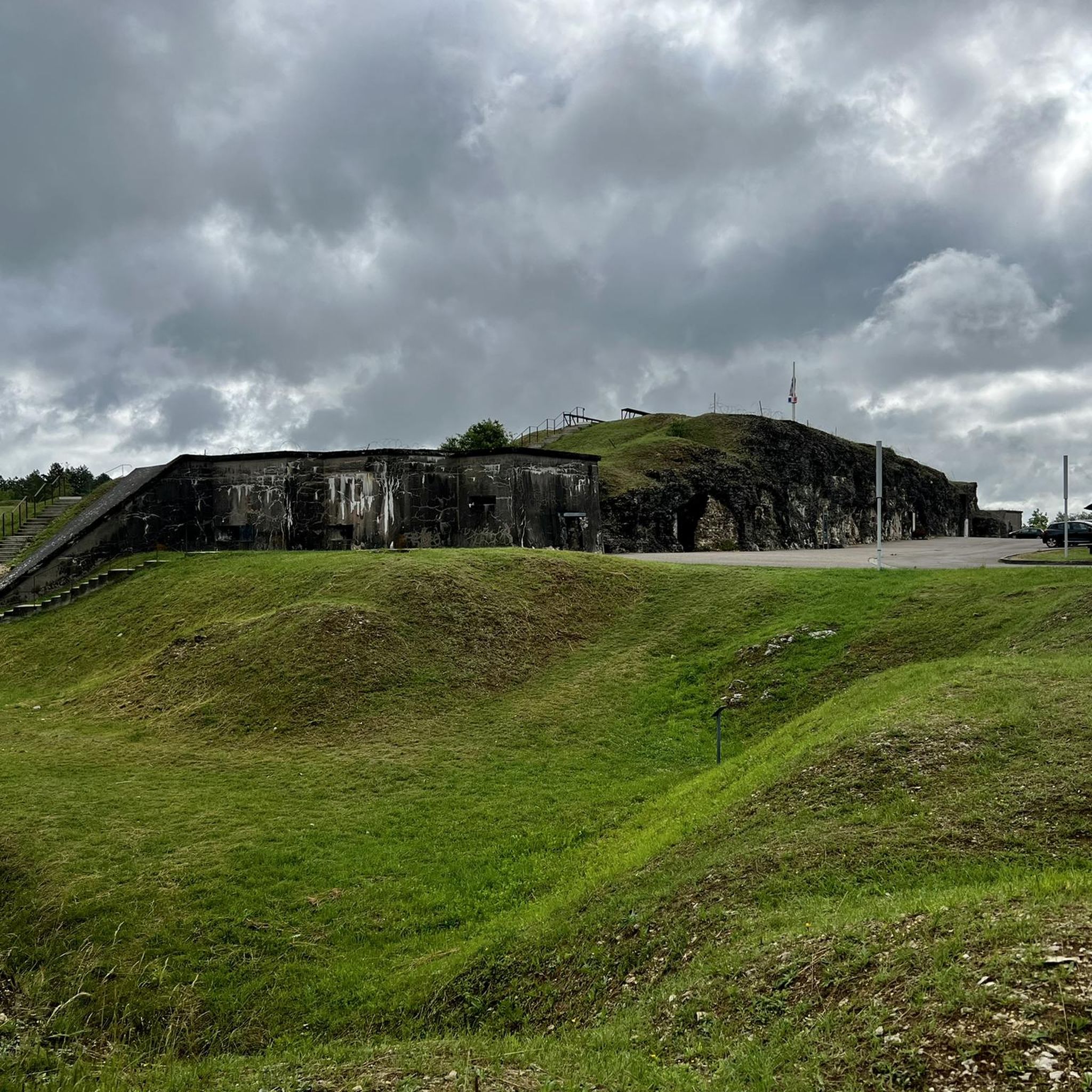
Built between 1876 and 1879 as part of the defensive belt around Verdun. The fort played a crucial role during the Battle of Verdun (1916), especially in July when German troops almost took it. Strategically located on a hill, it offered a view of the Meuse valley and was connected to other forts by telephone lines. The fort contained an underground shelter (abri sous roc) and a Bussière tower with a 155 mm gun. Despite heavy shelling, it remained in French hands and became a symbol of steadfastness.
8
0
Created during the First World War and laid out between 1919 and 1926, this military cemetery contains the graves of over 5,000 French soldiers who died at Verdun, as well as victims of the Second World War. Of particular note is the presence of seven unknown soldiers selected in 1920 at the Citadel of Verdun; one of them was chosen as the Unknown Soldier who now rests under the Arc de Triomphe. The site also contains the graves of foreign fighters, including a Chinese, an Indochinese, a Luxembourger and a Romanian.
1
0

The French 155mm artillery piece displayed in front of the entrance to the Verdun Memorial museum is the eye-catcher of the welcome.
1
0

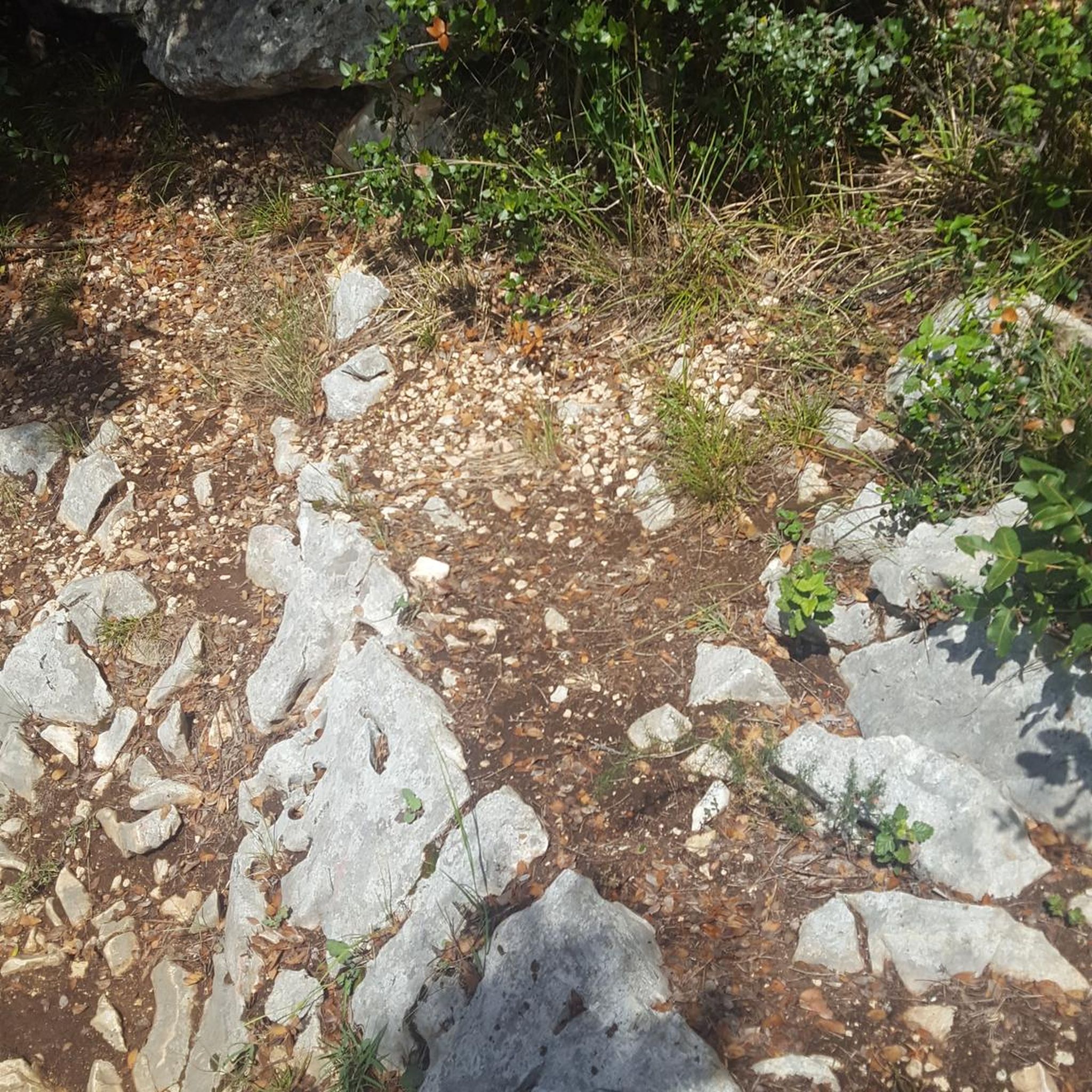
Originally, it was a cross marking the end of processions, a religious monument characteristic of the Lorraine countryside. Badly damaged by bombing, it is called the cross of the reliefs because it is located on the path taken by the reliefs going towards Froideterre and Fleury, as Adelphe Pousse testifies in his book "A cassock under the gunfire". It still bears certain scenes from the Passion of Christ, as well as dates and names left by the soldiers going up or down from the front.
0
0
Ten months Battle of Verdun On 21 February 1916, the Germans launched an attack north of Verdun. The heavy fighting of 1916 around this French town on the upper reaches of the Meuse was the longest battle of the war. It lasted a full ten months, from February to December. The Battle of Verdun began with the largest artillery bombardment the world had seen up to that point. The ten months of fighting around Verdun cost an enormous number of casualties: some three-quarters of a million, of whom perhaps 300,000 were dead. This makes Verdun the most deadly battle of the Great War, together with the (possibly even bloodier) Battle of the Somme, which took place around the same time. The infamous Battle of Passchendaele or Third Battle of Ypres (1917) came in a distant third with 150,000 dead... About 160,000 were French. This is the largest death toll for a single country during a single battle of the war. It is striking that 4/5 of the dead were victims of artillery bombardments (for the entire war, this ratio is more like 2/3). Due to an enormous concentration of guns, the attacking troops had to fear artillery fire much more than man-to-man fighting.
7
1
Frequently Asked Questions
How many hiking trails are available around Moulainville?
There are over 270 hiking routes around Moulainville, offering a wide variety of options for different skill levels and interests. More than 140 of these are classified as easy.
Are there easy hiking trails suitable for beginners in Moulainville?
Yes, Moulainville offers many easy trails perfect for beginners or those looking for a relaxed walk. An example is the Dragées Braquier Shop loop from Verdun, an easy 4.2-mile (6.8 km) path featuring a mix of urban and natural scenery.
Are there any challenging hikes for experienced trekkers in the Moulainville area?
While the region is generally characterized by gentle elevation changes, there are a few more challenging options. There are 8 routes classified as difficult, offering a more strenuous experience for seasoned hikers.
What kind of historical sites can I explore while hiking around Moulainville?
Moulainville's hiking trails often traverse areas rich in historical context. You can explore significant sites like the Douaumont Ossuary, the Verdun Memorial, and various combat shelters and fortifications. The The Lion of Souville – Small gallery loop from Fleury-devant-Douaumont, for instance, leads through historical battlefields and woodlands.
Are there any caves or underground shelters to visit near the hiking routes?
Yes, the area around Moulainville features several historical caves and shelters. Notable sites include the Abri DV3 (Fort de Vaux Shelter), Douaumont Cave Shelter, and the Combat Shelter - PC 118. These offer a unique glimpse into the region's past.
What do other hikers enjoy most about the trails in Moulainville?
The hiking routes in Moulainville are highly rated by the komoot community, with an average score of 4.5 stars from over 400 reviews. Hikers often praise the blend of natural beauty with significant historical sites, the well-maintained paths, and the accessibility for various skill levels.
Are there any circular walks available in Moulainville?
Yes, many of the trails around Moulainville are circular, allowing you to start and end at the same point. A popular option is the Croix des Relèves loop from Verdun, a 7.4-mile (12.0 km) moderate trail that explores historical sites and forested paths.
Is Moulainville suitable for family-friendly hikes?
Absolutely. With a large number of easy and moderate trails, Moulainville is well-suited for family outings. The gentle terrain and historical points of interest can make for an engaging experience for all ages.
What is the best time of year to go hiking in Moulainville?
The region is enjoyable for hiking through much of the year. Spring and autumn offer pleasant temperatures and beautiful scenery, with changing foliage in the woodlands. Summer is also popular, though it can be warmer. Winter hiking is possible, but conditions may vary, so checking local weather is advisable.
Are there any longer routes for extended excursions in Moulainville?
Yes, while many routes are shorter, there are options for longer excursions. The Croix des Relèves loop from Verdun is a good example of a moderate, longer trail at 7.4 miles (12.0 km), taking around 3 hours 15 minutes to complete.
Where can I park when hiking in Moulainville?
Parking availability varies by trailhead. Many popular starting points, especially near historical sites or towns like Verdun and Fleury-devant-Douaumont, offer designated parking areas. It's recommended to check specific route details on komoot for parking information related to your chosen trail.
Can I reach Moulainville's trailheads using public transport?
Access to some trailheads may be possible via public transport, particularly those closer to larger towns like Verdun. However, many routes might require a car to reach the starting point. It's advisable to research local bus or train services to specific villages or starting points before your trip.
Most popular routes around Moulainville
Most popular attractions around Moulainville

Get inspired with the komoot mobile app


Explore more
Browse the best Hikes in other regions.
