The best running trails around Waigandshain
4.4
(615)
4,736
runners
382
runs
Jogging routes around Waigandshain traverse a landscape characterized by rolling hills, dense woodlands, and serene reservoirs. The region, part of the Westerwald, offers varied terrain suitable for different running preferences. Many trails feature gentle ascents and descents, providing both a good workout and scenic views of the surrounding nature.
Best jogging routes around Waigandshain
- The most popular jogging route is Breitenbachtalsperre – Breitenbachtalsperre loop from Waigandshain, a 3.4 miles (5.4 km) trail that takes about 35 minutes to complete.…
Last updated: October 8, 2026
4.4
(5)
22
runners
Moderate run. Good fitness required. Mostly paved surfaces. Suitable for all skill levels.
5.0
(2)
12
runners
6.23km
00:43
120m
120m
Moderate run. Good fitness required. Mostly paved surfaces. Suitable for all skill levels.

5.0
(1)
15
runners
9.05km
00:57
90m
90m
Moderate run. Good fitness required. Mostly paved surfaces. Suitable for all skill levels.
5.0
(2)
9
runners
Moderate run. Good fitness required. Mostly paved surfaces. Suitable for all skill levels.
5.0
(1)
13
runners
6.42km
00:40
60m
60m
Moderate run. Good fitness required. Mostly paved surfaces. Suitable for all skill levels.
Get access to more routes and recommendations from other explorers.
Already have an account?
Our route recommendations are based on thousands of hikes, rides, and runs completed by other people on komoot.
Start today with a free account
Your next adventure awaits.

Tips from the Community

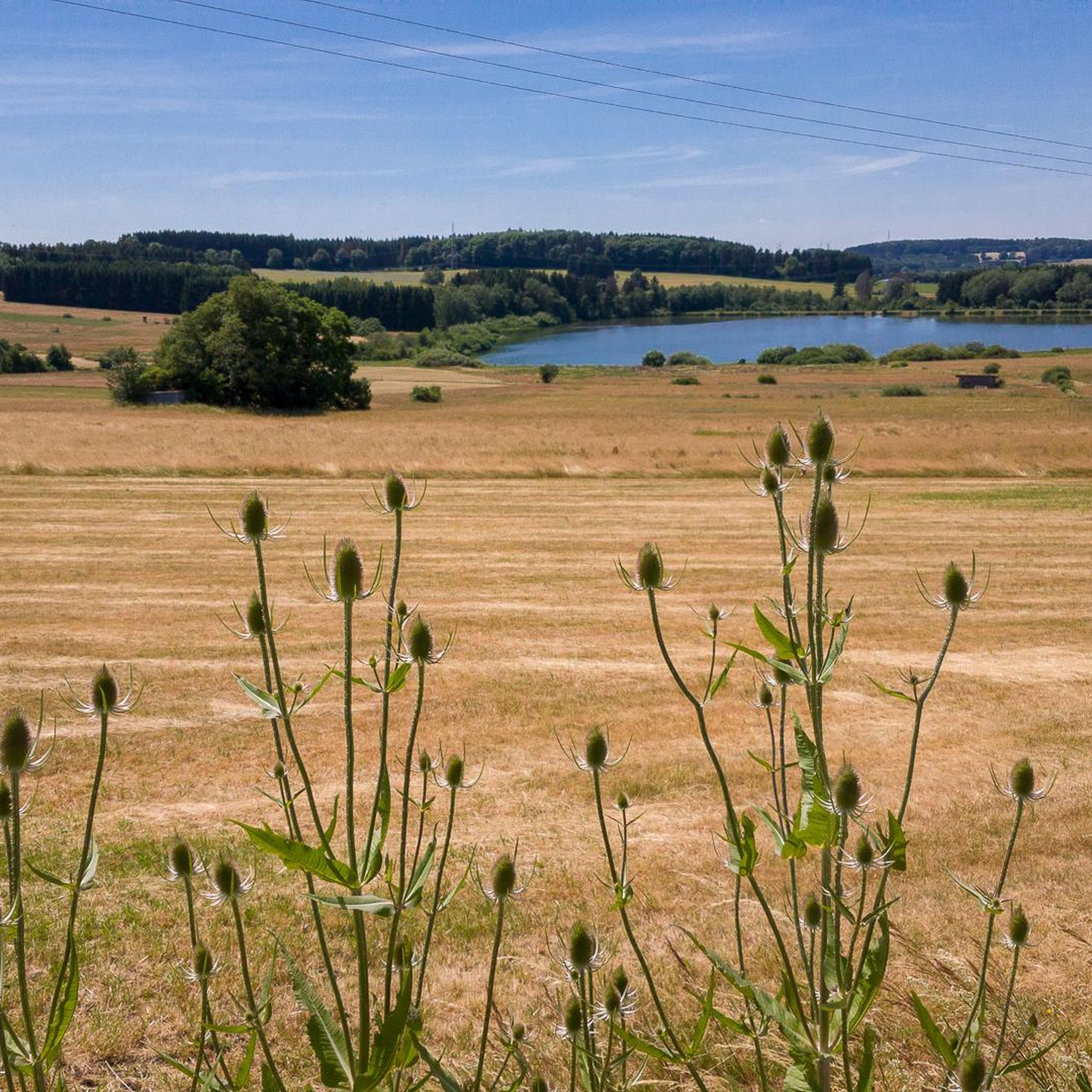
Highest elevation in the Westerwald!
0
0

Tip-top 👊 great surroundings… great view 👁️👁️ recommended
0
0

the town hall is a beautiful old building
0
0

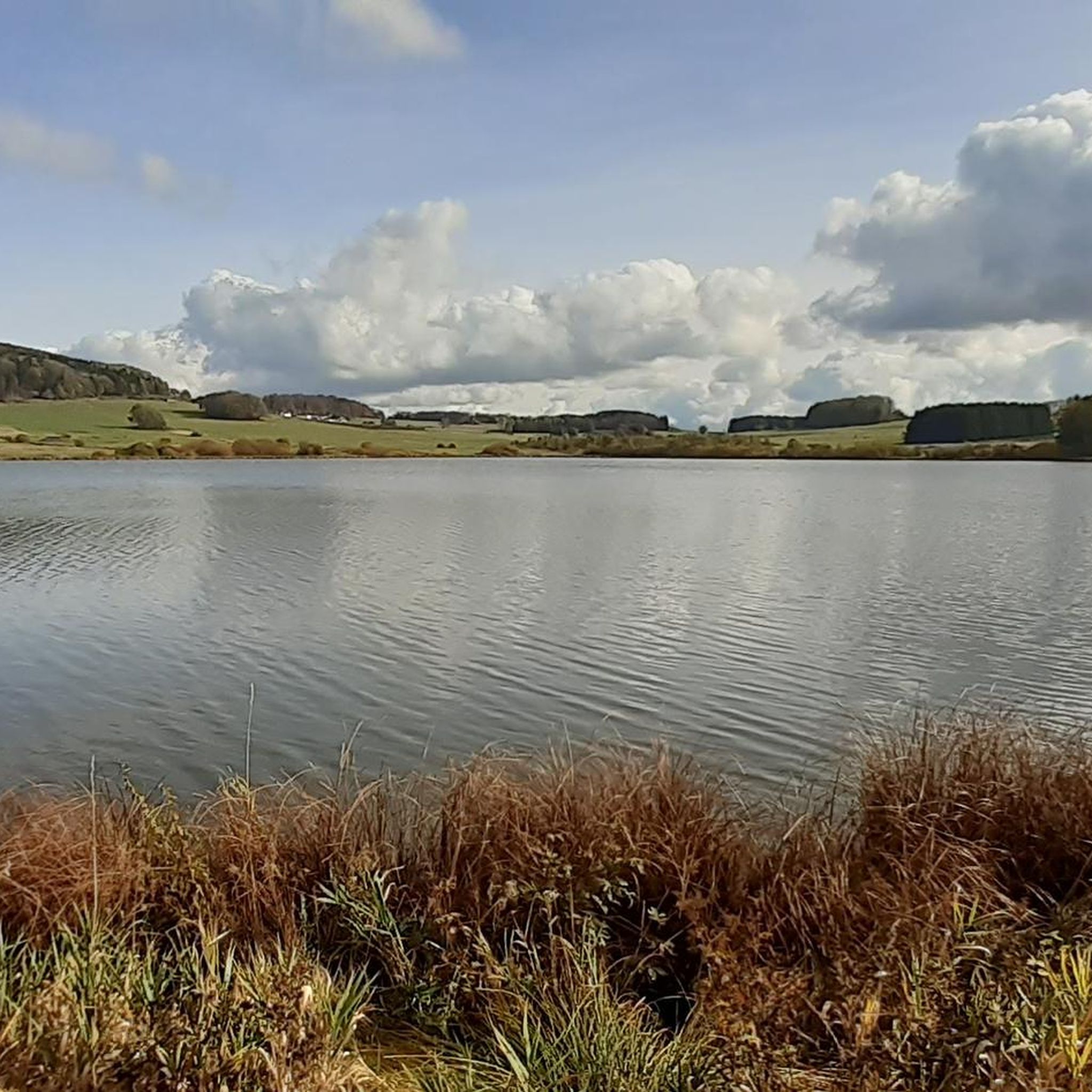
Great lake. If anglers are present, please be considerate.
1
0
It's especially fun to ride down the path and there's also a beautiful view.
0
0


Experience a piece of nature - paths are flat.
1
1

suitable for every fitness level. There is a spacious car park just a few minutes' walk away along a flat, narrow road to the beginning of the small dam. On the well-maintained path around the water I saw parents with strollers, and also an elderly person in a wheelchair. However, there are only a few benches; and the circular path through the village and then across the road is quite long.
2
1
Frequently Asked Questions
How many running routes are available in Waigandshain?
Waigandshain offers a wide variety of running experiences, with over 320 routes available. These range from easy jogs to more challenging trails, catering to all fitness levels.
Are there any easy or beginner-friendly jogging routes in Waigandshain?
Yes, Waigandshain has approximately 50 easy running routes perfect for beginners or those looking for a relaxed jog. A good option is the Mörferberg loop from Waigandshain, which is just under 4 km long and features gentle elevation changes.
Can I find longer or more advanced running trails in the Waigandshain area?
Absolutely. For more advanced runners, there are over 30 difficult routes and more than 240 moderate trails. The Ketzerstein – Ketzersteine near Weißenberg loop from Fuchskaute is a challenging 10.7 km route with significant elevation, offering a great workout and scenic views.
Are there any circular running routes around Waigandshain?
Many of the running routes in Waigandshain are circular, providing convenient starting and ending points. For example, the popular Breitenbachtalsperre – Breitenbachtalsperre loop from Waigandshain is a pleasant 5.4 km circuit around the reservoir.
What kind of natural sights or landmarks can I expect to see along the running paths?
The running paths around Waigandshain often lead through diverse landscapes. You might encounter natural monuments like the Holzbach Gorge, tranquil bodies of water such as the Krombach Reservoir, or even historical sites like the Schneider family cemetery. Some routes also offer expansive views towards Fuchskaute, the highest point in the Westerwald.
Are there any viewpoints along the jogging trails in Waigandshain?
Yes, several routes offer rewarding viewpoints. The View of Fuchskaute – Waigandshain Town Hall loop from Waigandshain is specifically known for its expansive vistas towards Fuchskaute. You can also find the Trödelsteine Summit Cross, which provides panoramic views.
What do other runners enjoy most about the trails in Waigandshain?
The running routes in Waigandshain are highly regarded by the komoot community, with an average rating of 4.5 stars from over 400 reviews. Runners frequently praise the varied terrain, from dense woodlands to serene reservoirs, and the well-maintained paths that offer both a good workout and beautiful scenery.
Are there any historical sites or castles near the running routes?
Beyond natural beauty, the region also features historical elements. You can explore the Junkernschloss Ruins or the Maienburg Castle Ruins, which are located within the broader area and can be incorporated into longer running excursions or visited separately.
What is the best time of year for running in Waigandshain?
Waigandshain offers enjoyable running conditions throughout much of the year. Spring and autumn are particularly popular due to mild temperatures and vibrant foliage. The dense woodlands provide good shade in summer, while winter running can be beautiful, though some trails might require appropriate footwear depending on snow and ice conditions.
Are the running routes in Waigandshain suitable for families?
Many of the easier and moderate routes are suitable for families, especially those with children who enjoy being active outdoors. The trails around the Breitenbachtalsperre, for instance, offer relatively flat and scenic paths that are pleasant for a family jog or walk.
Are dogs allowed on the jogging trails in Waigandshain?
Generally, dogs are welcome on most public trails in the Waigandshain region, especially in the forested areas. However, it's always recommended to keep dogs on a leash, particularly in nature reserves or areas with wildlife, and to respect local signage regarding pet regulations.
Are there any running routes that pass by cafes or places to rest?
While many routes focus on natural immersion, some trails may pass near villages or towns where cafes and refreshment stops are available. It's advisable to check the specific route details on komoot for points of interest or amenities along your chosen path, especially for longer runs.
Most popular routes around Waigandshain
Most popular attractions around Waigandshain

Get inspired with the komoot mobile app


Explore more
Browse the best Running Trails & Routes in other regions.
