The best running trails around Hartenfels
4.3
(435)
3,450
runners
316
runs
Jogging routes around Hartenfels are primarily found in the Westerwald region, characterized by gently rolling hills, extensive forests, and a network of lakes and ponds. This landscape provides varied terrain suitable for different running preferences, from flat paths around water bodies to more challenging routes with moderate elevation changes. The area's natural features, including the Westerwald lake district, offer a scenic backdrop for outdoor activities.
Best jogging routes around Hartenfels
- The most popular jogging route is Adventure Playground Steinen –…
Last updated: July 5, 2026
4.7
(13)
105
runners
Moderate run. Good fitness required. Mostly paved surfaces. Suitable for all skill levels.
5.0
(4)
39
runners
17.0km
01:49
180m
180m
Hard run. Very good fitness required. Mostly paved surfaces. Suitable for all skill levels.

Sign up for free
4.8
(4)
26
runners
6.18km
00:40
50m
50m
Moderate run. Good fitness required. Mostly paved surfaces. Suitable for all skill levels.
7
runners
12.3km
01:18
110m
110m
Moderate run. Good fitness required. Mostly paved surfaces. Suitable for all skill levels.
6
runners
Moderate run. Good fitness required. Mostly paved surfaces. Suitable for all skill levels.
Get access to more routes and recommendations from other explorers.
Sign up for free
Already have an account?
Our route recommendations are based on thousands of hikes, rides, and runs completed by other people on komoot.
Start today with a free account
Your next adventure awaits.
Login or Signup
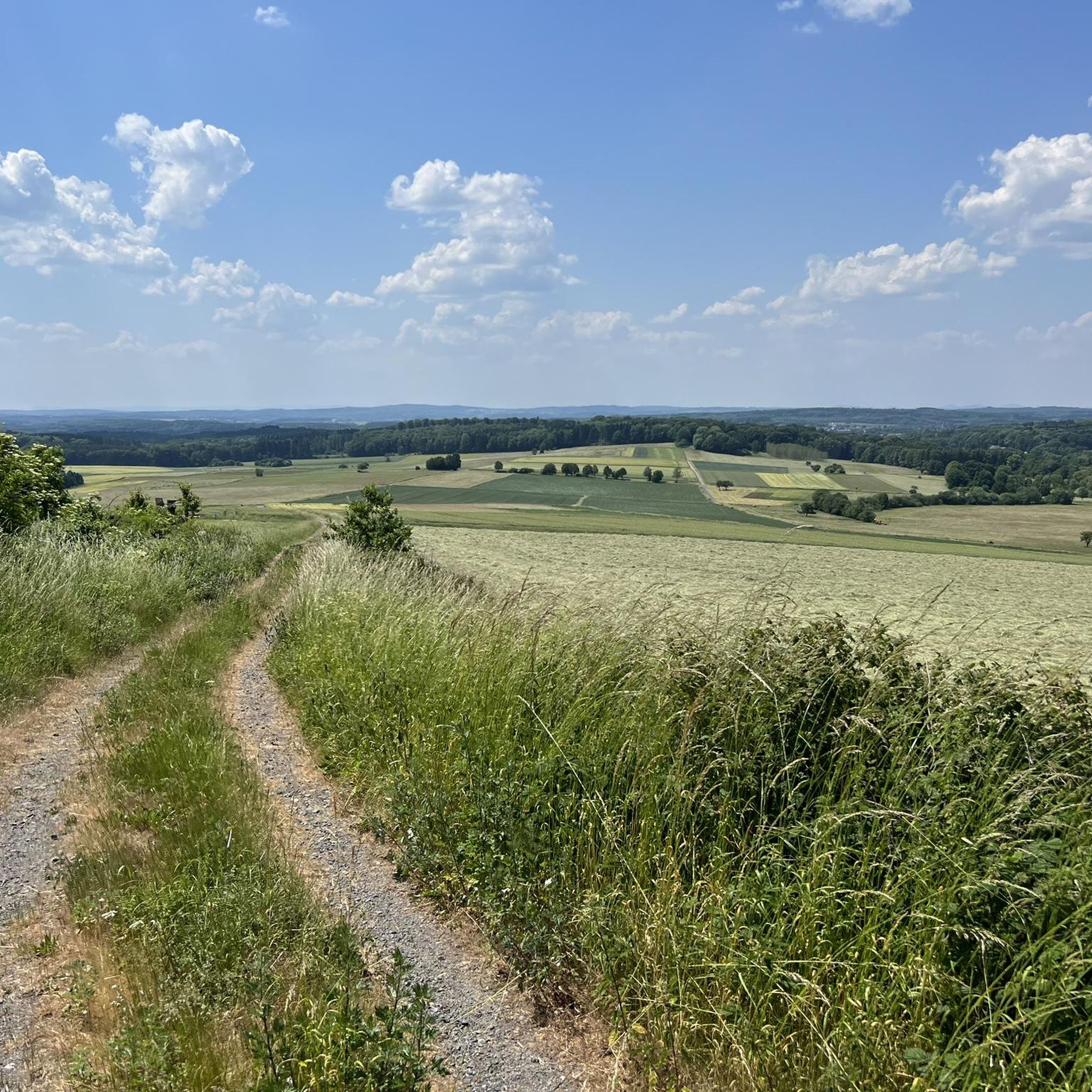
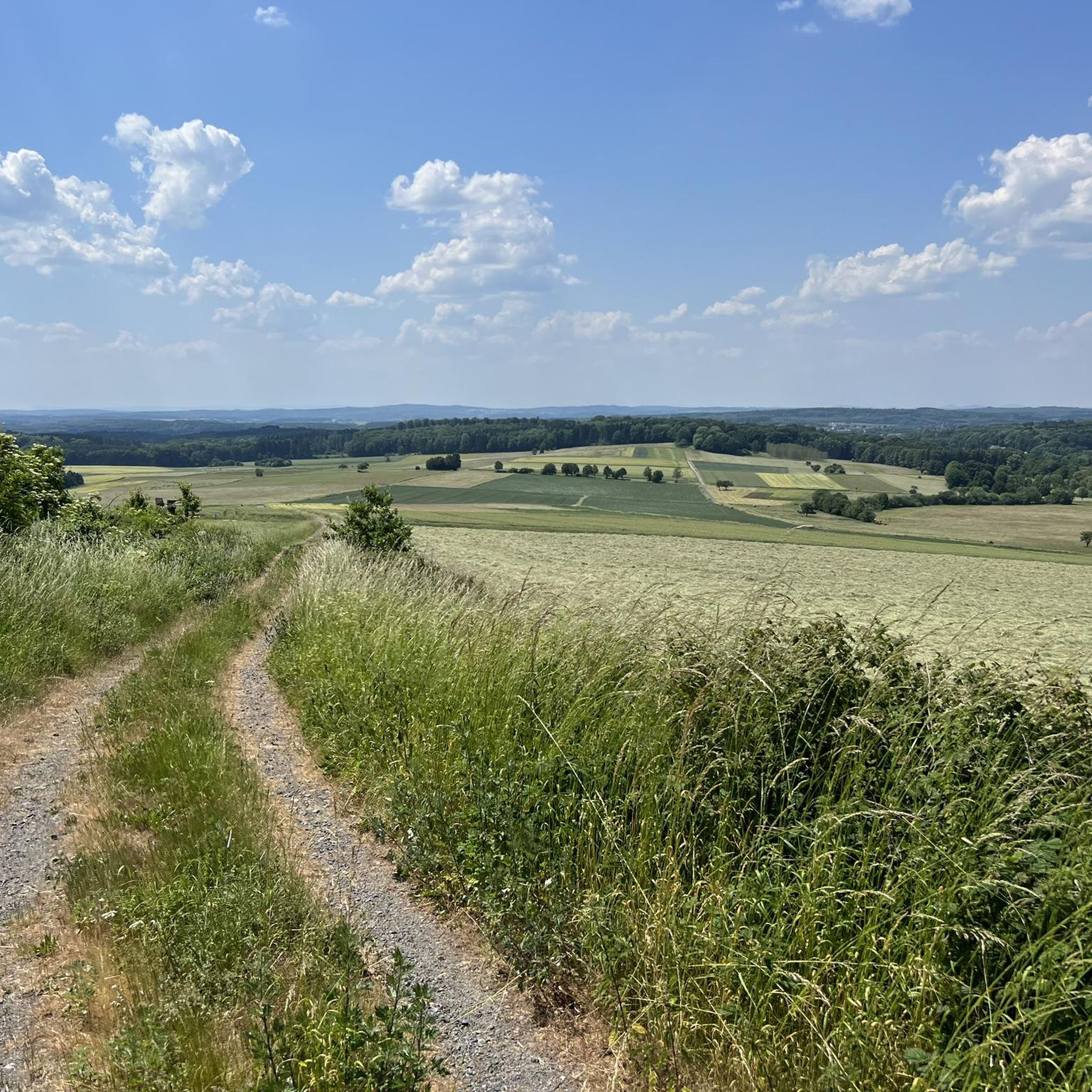
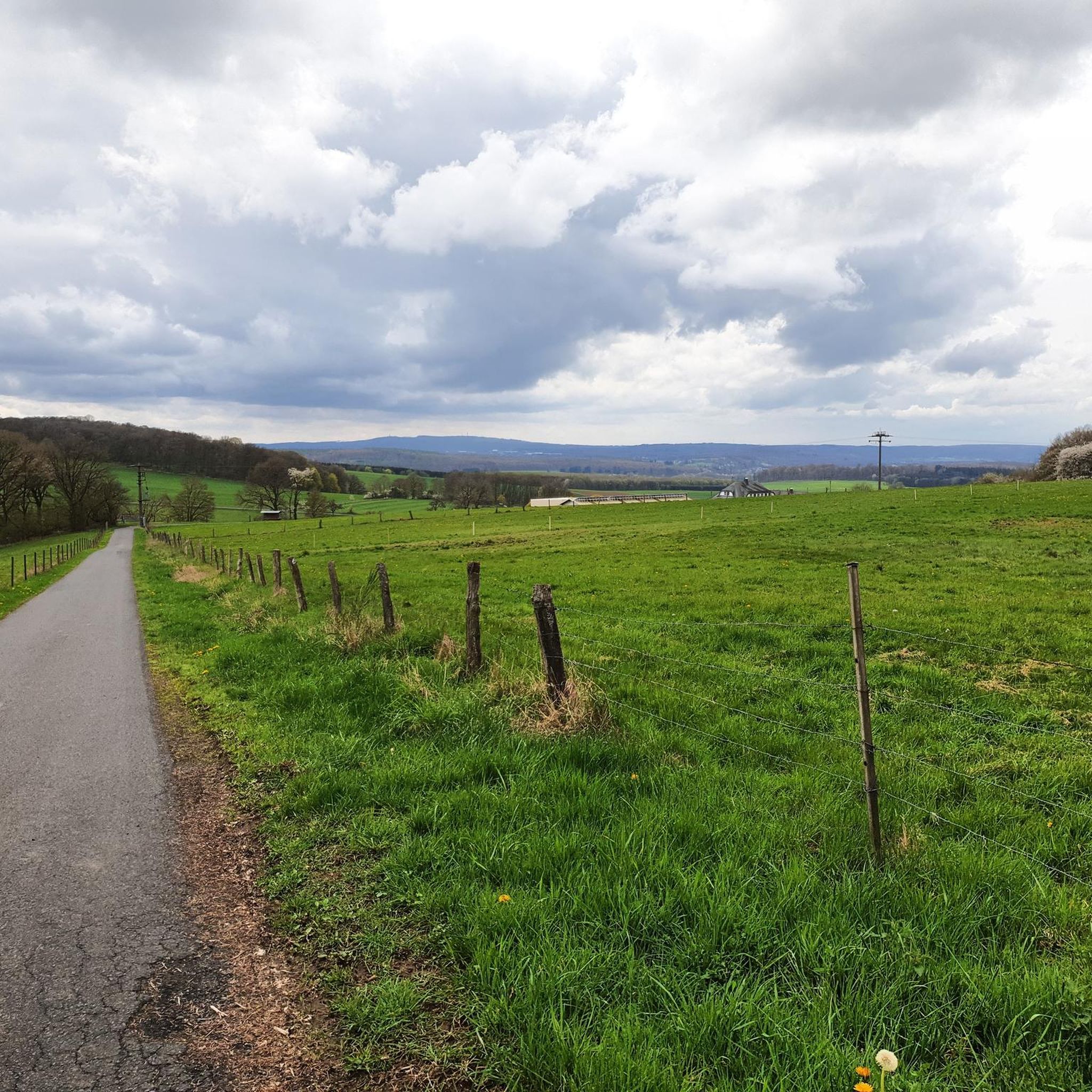
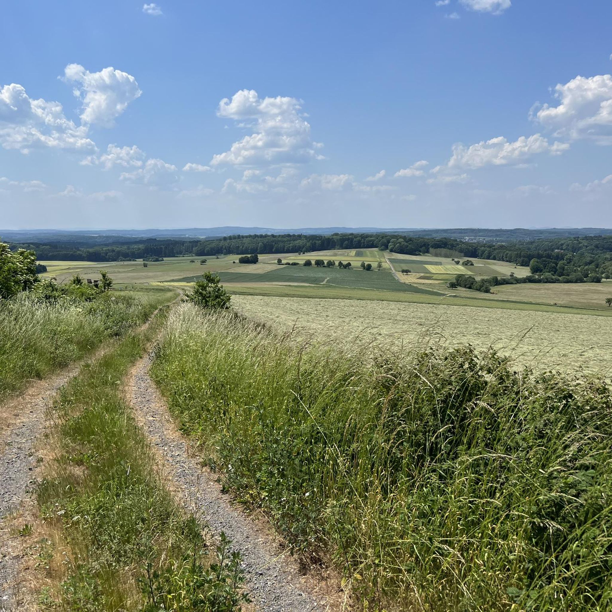
Tips from the Community

Beautiful Dreifelder Weiher, beautifully situated, idyllic and quiet.
0
0

Although it's a bit away from the pond, it's quiet here, except on Sundays and public holidays, of course.
3
0

Comfortable lounger with a view of the Dreifelder Weiher.
3
0

The circular route around the pond leads along a rustic hiking path. In damp or rainy weather, this path should only be hiked with appropriate footwear.
2
0

Info
1
0

Actually nothing is happening, but the view of nature towards the pond
3
0
Frequently Asked Questions
How many running routes are available around Hartenfels?
The Hartenfels area, primarily in the Westerwald region, offers a wide selection of running routes. You can find over 280 routes, catering to various preferences and fitness levels.
What are the typical difficulty levels for jogging trails in Hartenfels?
The routes around Hartenfels offer a good mix of difficulty. You'll find approximately 45 easy routes, over 210 moderate options, and around 28 more challenging trails for experienced runners. This variety ensures there's something for everyone.
Are there family-friendly jogging routes in the Hartenfels area?
Yes, the region provides several routes suitable for families. Many of the easier and moderate trails, especially those around the lakes, offer pleasant and manageable distances for a family outing. For example, the Adventure Playground Steinen – Pond in the Westerwald loop from Dreifelden is a moderate 5.5 km route that could be a good option.
Can I bring my dog on the running trails around Hartenfels?
While specific regulations for dogs vary, the natural setting of the Westerwald region generally welcomes dogs on trails. It's always recommended to keep your dog on a leash, especially in nature reserves or near wildlife, and to clean up after them. Many of the routes through woodlands and around lakes are popular with dog owners.
What kind of natural features and landmarks can I expect to see while running in Hartenfels?
Jogging around Hartenfels, particularly in the Westerwald, offers diverse scenery. You'll encounter gently rolling hills, dense woodlands, and the picturesque Westerwald lake district. Notable natural features include the Dreifelder Pond and Haidenweiher. You might also pass historical sites like the Shelter at Hartenfels Castle or the Ruins of Burg Vroneck (Froneck-Nister).
Are there circular running routes available in Hartenfels?
Yes, many of the running routes in Hartenfels are circular, allowing you to start and end at the same point. This is particularly true for trails around the various ponds and through the woodlands. Examples include the Hausweiher near Steinen – View of the Brinkenweiher loop from Steinen and the Postweiher – View of the Brinkenweiher loop from Dreifelden.
What is the typical terrain like for jogging in the Hartenfels region?
The terrain around Hartenfels is characterized by gently rolling hills, extensive forests, and a network of lakes and ponds. You can expect a mix of paved paths, gravel trails, and natural forest floors. Routes around water bodies tend to be flatter, while others may include moderate elevation changes, offering varied challenges.
Is parking available near the trailheads in Hartenfels?
While specific parking information for every trailhead isn't provided, the Westerwald region is generally well-equipped for visitors. Many popular starting points for hiking and running trails, especially near villages or natural attractions, typically offer designated parking areas. It's advisable to check local signage upon arrival.
How can I access the running routes around Hartenfels using public transport?
Public transport options in the Westerwald region connect various towns and villages. While direct access to every single trailhead might not be possible, you can often reach central points in towns like Hartenfels or Dreifelden via bus services. From there, many routes are accessible on foot. For detailed information on public transport, it's best to consult local transport schedules.
What do other runners say about their experience jogging in Hartenfels?
The running routes in Hartenfels are highly regarded by the komoot community, boasting an average rating of 4.3 stars from over 400 reviews. Nearly 3,000 runners have explored the area, often praising the tranquil lakes, dense woodlands, and the diverse network of paths that cater to various ability levels.
Are there any longer running routes for endurance training in Hartenfels?
Yes, for those looking for a more substantial challenge, Hartenfels offers longer routes. The Adventure Playground Steinen – Dreifelder Weiher loop from Hartenfels is a difficult 17.5 km trail, perfect for endurance training. Another good option is the Haiden Pond – Hofmanns Pond loop from Dreifelden, which covers 12.2 km.
What is the best time of year to go running in Hartenfels?
The Westerwald region, where Hartenfels is located, offers beautiful scenery year-round. While spring and autumn provide pleasant temperatures and vibrant colors, the 'wonderful views over the Westerwald' can be enjoyed in any season. Summer is great for running around the lakes, and even winter offers a unique, tranquil experience on the trails, though conditions may require appropriate gear.
Most popular routes around Hartenfels
Most popular attractions around Hartenfels

Get inspired with the komoot mobile app


Explore more
Browse the best Running Trails & Routes in other regions.
