The best running trails around Görgeshausen
4.4
(886)
7,581
runners
487
runs
Jogging routes around Görgeshausen traverse the diverse natural landscape of the Westerwald district in Germany. The region features a mix of forests, meadows, and rolling hills, providing varied terrain for runners. Paths often follow the banks of the Wied River, offering scenic stretches. This environment provides both soft forest paths and uphill challenges, contributing to a dynamic running experience.
Best jogging routes around Görgeshausen
- The most popular jogging route is Fishing Pond in Westerwald – View of Elzer Wind Farm…
Last updated: May 18, 2026
4.0
(10)
58
runners
Moderate run. Good fitness required. Mostly paved surfaces. Suitable for all skill levels.
5.0
(2)
22
runners
Moderate run. Good fitness required. Mostly paved surfaces. Suitable for all skill levels.

Sign up for free
5.0
(4)
16
runners
11.0km
01:13
140m
140m
Moderate run. Good fitness required. Mostly paved surfaces. Suitable for all skill levels.
2.0
(1)
10
runners
Moderate run. Good fitness required. Mostly paved surfaces. Suitable for all skill levels.
8
runners
Moderate run. Good fitness required. Mostly paved surfaces. Suitable for all skill levels.
Get access to more routes and recommendations from other explorers.
Sign up for free
Already have an account?
Our route recommendations are based on thousands of hikes, rides, and runs completed by other people on komoot.
Start today with a free account
Your next adventure awaits.
Login or Signup
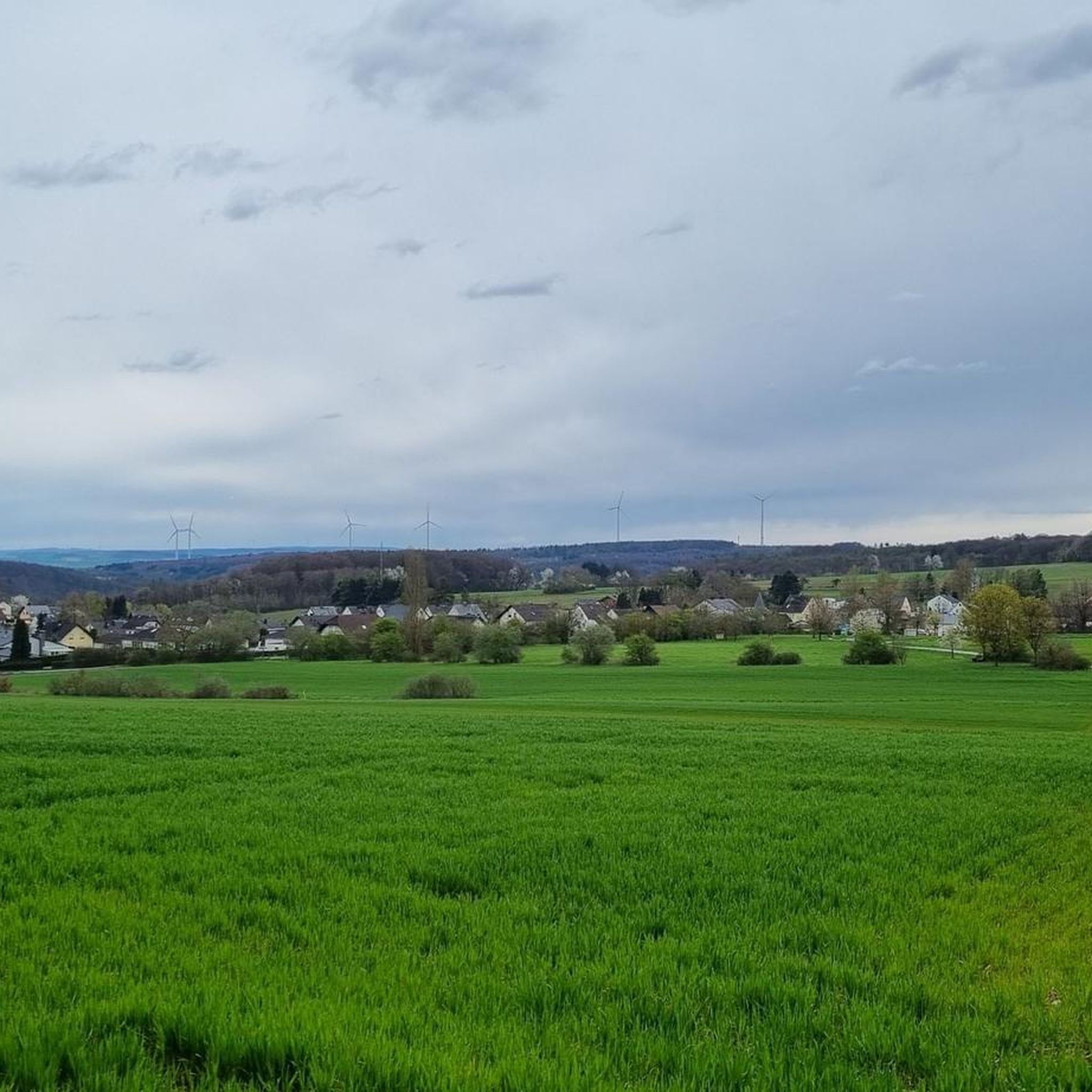
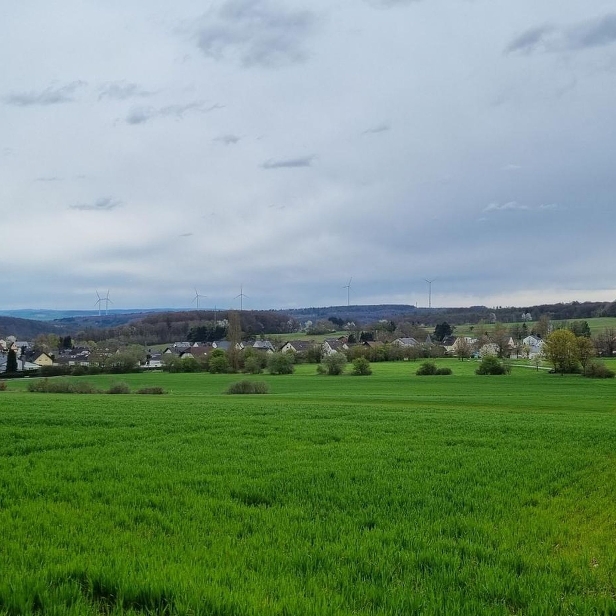
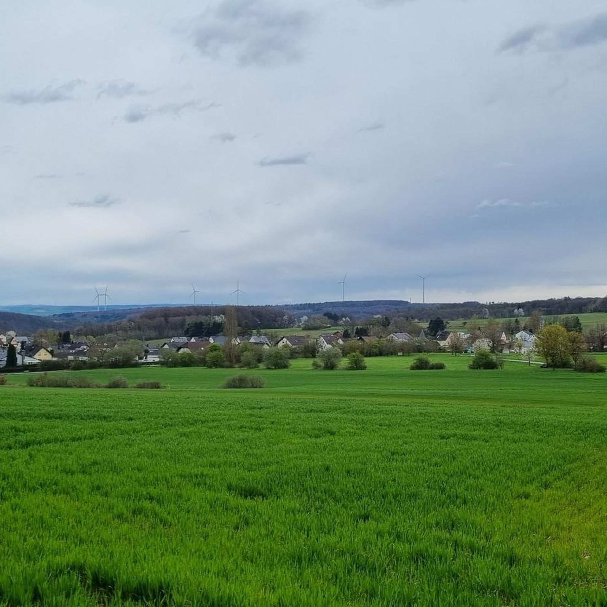
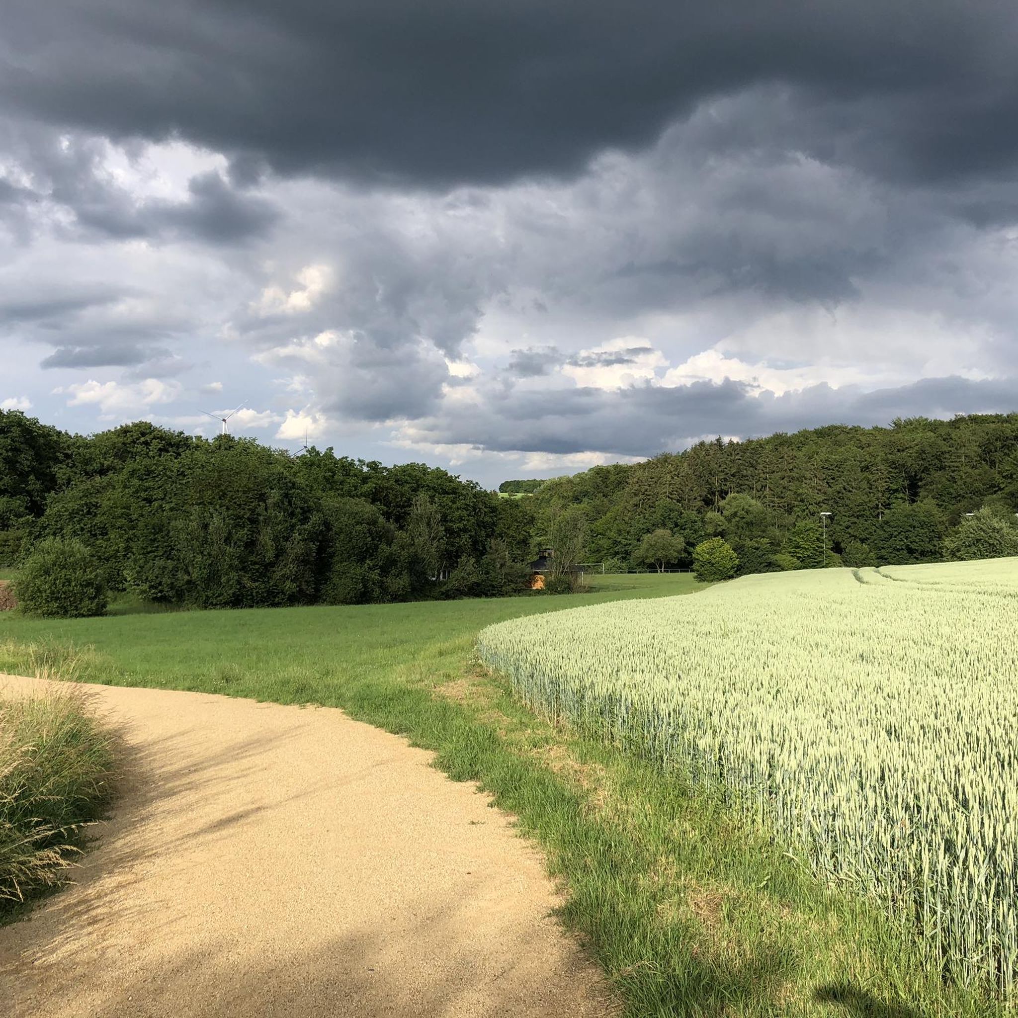
Tips from the Community

And the background is even older
0
0

Slate mining in the Niedererbach area dates back to the Middle Ages – a "Steinkaute" (stone pit) was mentioned as early as 1413, and a "Decksteinkaute" (coverstone pit) in 1566. In the 19th century, with the advent of industrialization, roofing slate mining became economically important. Documented for the neighboring Jacobsfund mine (same area) between 1875 and 1878, an operating plan called for the excavation of approximately 2,500 meters of tunnels per year; the ventilation shaft was 50 meters deep, and the deposit was approximately 95 meters thick. The period of cessation of operations is given as January 1900 (at Jacobsfund) – this indicates its closure in this region. No precise dates are available for the Martinsfund mine itself regarding its opening, transport routes, or exact closure. The slate was typically transported via tunnel systems and railways or horse-drawn tracks for further processing. Overall, large-scale mining in the region ended when prices fell.
0
0

It is worth taking a moment to linger here by the stream and study the information boards.
0
0
Rewarded with wonderful views.
0
0

Moderate climb into the Westerwald between Niedererbach and Hundsangen.
0
0

So beautiful
1
0

beautiful bike path
0
0
Frequently Asked Questions
How many running routes are available around Görgeshausen?
There are over 450 running routes around Görgeshausen, offering a wide variety of options for all fitness levels. This includes 68 easy routes, 336 moderate routes, and 54 difficult routes.
What kind of terrain can I expect on the jogging trails in Görgeshausen?
The jogging trails in Görgeshausen feature a diverse natural landscape within the Westerwald. You can expect a mix of soft forest paths, open meadows, and rolling hills, providing varied terrain for a dynamic running experience. Some paths also follow the banks of the Wied River.
Are there any easy or beginner-friendly running routes in the area?
Yes, Görgeshausen offers 68 easy running routes suitable for beginners or those looking for a less strenuous run. The local sports field also serves as a convenient starting point for accessible paths, such as the 'Görgeshausen Sports Field loop' mentioned in regional research, which is great for any fitness level.
What do other runners say about the trails in Görgeshausen?
The running routes in Görgeshausen are highly rated by the komoot community, with an average score of 4.4 stars from over 800 reviews. More than 7,000 runners have used komoot to explore the varied terrain, often praising the tranquil forests, open meadows, and well-maintained paths.
Can I find circular running routes around Görgeshausen?
Yes, many of the running routes around Görgeshausen are circular, allowing you to start and finish at the same point. An example is the Running loop from Nentershausen, which is a moderate 6.6 km (4.1 miles) trail.
Are there any scenic viewpoints or landmarks along the running routes?
Yes, several routes offer scenic views and pass by interesting landmarks. For instance, the Fishing Pond in Westerwald – View of Elzer Wind Farm loop from Niedererbach provides views of the Elzer Wind Farm. You might also encounter highlights like the Wolfslei Dörnberg viewpoint or the View of Balduinstein on nearby trails.
What is the best time of year to go jogging in Görgeshausen?
Görgeshausen is beautiful year-round, with its natural landscape transforming with each season. Spring brings blossoming flowers, autumn offers a colorful blaze, and winter can provide a picturesque wonderland. The diverse scenery makes it suitable for jogging throughout the year, depending on your preference for weather and landscape.
Are there any routes that pass by historical sites or interesting attractions?
Yes, some routes may lead you near historical sites or attractions. For example, you could explore trails that pass by the Historic Niederzeuzheim Village Center or even catch glimpses of castles like Hadamar Castle or Schaumburg Castle in the broader region.
Are the running trails in Görgeshausen suitable for families?
Many of the easy and moderate routes are suitable for families, especially those looking for a pleasant outdoor activity. The varied terrain and natural beauty provide an engaging experience for all ages. Look for routes marked as 'easy' for the most family-friendly options.
Can I bring my dog on the running trails?
Generally, trails in natural areas like Görgeshausen are dog-friendly. However, it's always recommended to keep your dog on a leash and adhere to local regulations, especially in nature reserves or near wildlife. No specific restrictions are noted for these routes.
Are there any longer running routes for experienced runners?
Yes, for more experienced runners, there are several longer and more challenging routes. The Issel – View Near Eppenrod loop from Nentershausen is a moderate 11.6 km (7.2 miles) trail that leads through varied landscapes and takes about 1 hour 14 minutes to complete.
Are there any routes that feature water bodies like ponds or springs?
Yes, the area includes routes that explore water features. The Fishing Pond in Westerwald – Elzer Tröpfchen Spring loop from Niedererbach is a moderate 9.0 km (5.6 miles) path that takes you around a fishing pond and to a spring.
Most popular routes around Görgeshausen
Most popular attractions around Görgeshausen

Get inspired with the komoot mobile app


Explore more
Browse the best Running Trails & Routes in other regions.
