The best walks and hikes around Compainville
4.6
(32)
164
hikers
29
hikes
Hiking around Compainville offers access to the diverse landscapes of the Pays de Bray region in Normandy. The area is characterized by a green and hilly terrain, featuring lush meadows, hedged farmland, and significant forested areas. Hikers can explore valleys, including the Bethune valley, and utilize the accessible Avenue Verte, which follows former railway lines. This network provides varied terrain suitable for different hiking preferences.
Best hiking trails around Compainville
- The most popular hiking route is Source de la Chevrette…
Last updated: May 13, 2026
4.3
(3)
20
hikers
13.1km
03:27
110m
110m
Moderate hike. Good fitness required. Easily-accessible paths. Suitable for all skill levels.
13
hikers
3.83km
01:00
30m
30m
Easy hike. Great for any fitness level. Easily-accessible paths. Suitable for all skill levels.

Sign up for free
5.0
(2)
8
hikers
7.51km
01:58
60m
60m
Easy hike. Great for any fitness level. Easily-accessible paths. Suitable for all skill levels.
6
hikers
7.05km
01:51
60m
60m
Easy hike. Great for any fitness level. Easily-accessible paths. Suitable for all skill levels.
4
hikers
8.98km
02:28
150m
150m
Moderate hike. Good fitness required. Easily-accessible paths. Suitable for all skill levels.
Get access to more routes and recommendations from other explorers.
Sign up for free
Already have an account?
Our route recommendations are based on thousands of hikes, rides, and runs completed by other people on komoot.
Start today with a free account
Your next adventure awaits.
Login or Signup


Tips from the Community

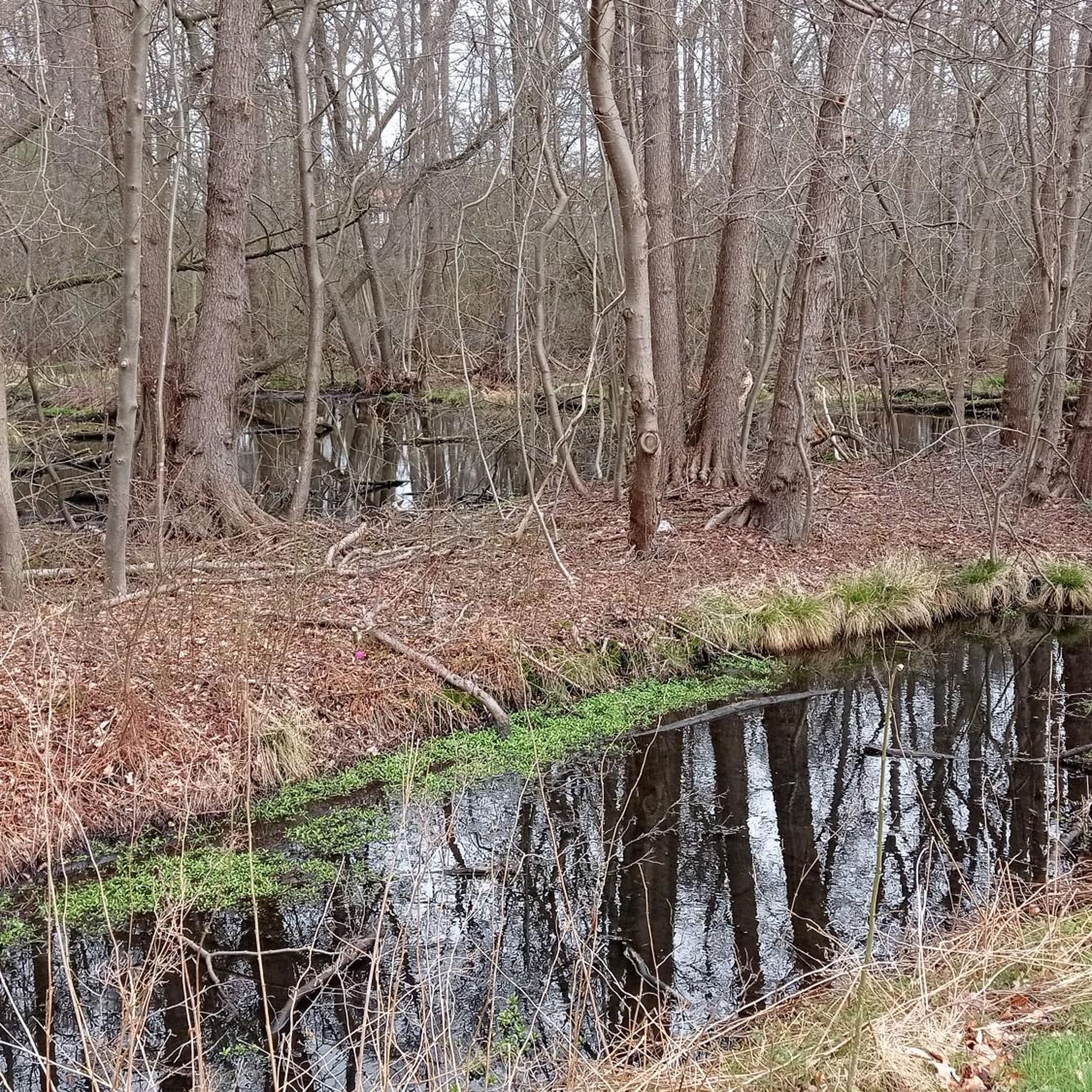
This natural area located in Forges-les-Eaux is organized around the ponds of the Andelle, formed by two rivers: the Andelle to the east and the Chevrette to the west. All around extends the Bois de l’Épinay, remarkable for the great diversity of tree species it shelters. You can walk there, observe the birds, picnic and take a quiet break enjoying the rustling of the many leaves.
1
0

At this point, you will reach the highest point of the exit and benefit from a superb panorama. The buttonhole of the country of Bray, an almond-shaped indentation dotted with small reliefs, constitutes a geographical entity which extends south into Picardy. It stretches between Beauvais and Dieppe in a northeast/southwest orientation, approximately 60 km long, including 40 km in Upper Normandy, and 2 to 20 km wide at most.
0
0
Near the Hodeng church, a picnic area offers hikers a stop in a calm and peaceful atmosphere.
0
0
The Hodeng chapel, dedicated to Saint-Denis, was completely renovated in the 1990s by a reintegration association. In Romanesque style, the building dates from the 11th century. At that time, the church would have been dedicated to Saint-Saturnin. It was then remodeled.
0
0
This majestic facade located near the Casino comes from the town of Gisors. Originally, it was the facade of the chapel of the Carmelite convent built in the 17th century at the initiative of François Sublet. After the French Revolution, this building was transformed into a municipal theater before being bombed during the Second World War. Jacques Hébertot, owner of the Forges Casino in the 1950s, bought the last remaining intact vestige from the town of Gisors and erected it in the town of Forges-les-Eaux with the aim of recreating a certain historical setting.
0
0
This area is located just at the entrance to the Andelle ponds, opposite the casino. A few tables are available, at the foot of the lake, for a nice picnic. Be careful, places will be expensive on a nice day!
0
0
This is a very pleasant picnic area. Located at the end of the Andelle ponds, you will find peace and quiet there as well as some games for children.
0
0
A path has been laid out to reach the sources of the Chevrette: footbridges and pontoons, winding paths, the undulating presence of the Chevrette which plays with the path by shimmering its strange ocher color... We let ourselves be invaded by this beautiful atmosphere in the undergrowth to the source itself.
0
0
Frequently Asked Questions
What types of hiking trails can I expect around Compainville?
The Compainville area, nestled in the Pays de Bray, offers a diverse range of hiking trails. You'll find paths through lush green meadows, hedged farmland, and significant forested areas like the Eawy forest. The terrain is generally hilly, with valleys such as the Bethune valley, and includes sections of the accessible Avenue Verte, which follows former railway lines. This mix provides options from gentle strolls to more moderate excursions.
How many hiking routes are available in the Compainville region?
There are over 25 hiking routes documented around Compainville on komoot, catering to various preferences. The broader Seine-Maritime department, where Compainville is located, boasts over 250 hiking trails and 300 hiking loops, ensuring a wide selection for all levels.
Are there any easy hiking trails suitable for beginners or a relaxed walk?
Yes, Compainville offers several easy trails. For a gentle walk, consider the Etang de la Chevrette – Andelle Ponds loop from Forges-les-Eaux, which is just 2.4 miles (3.8 km) long. Another easy option is the Andelle Ponds – Etang de la Chevrette loop from Forges-les-Eaux, covering 2.3 miles (3.7 km) around the ponds.
What are some moderate hiking options for a longer outing?
For a more extended moderate hike, you could explore the Source de la Chevrette – Andelle Ponds loop from Forges-les-Eaux. This trail is 8.2 miles (13.1 km) and takes approximately 3 hours 27 minutes to complete, offering a good balance of distance and scenic exploration.
Are there any circular walks around Compainville?
Many of the trails around Compainville are designed as loops, offering convenient circular walks. For example, the Andelle Ponds – Etang de la Chevrette loop from Forges-les-Eaux is a 4.7 miles (7.6 km) circular route that takes you through the local countryside and pond areas.
What natural features or landmarks can I see while hiking near Compainville?
The region is rich in natural beauty and interesting landmarks. You can explore the picturesque Bethune Valley, enjoy views from Mount Bénard, and discover the unique geological depression known as 'La Boutonnière'. The Avenue Verte, a greenway built on former railway lines, is also a significant feature, offering scenic paths through fields and past old railway stations.
Are there any historical sites or towns to visit near the hiking trails?
Yes, the area offers several points of interest. The charming town of Forges-les-Eaux, with its historic thermal quarter, is a notable stopping point along the Avenue Verte. You can also visit the Domaine de Forges, which provides additional opportunities for exploration.
What do other hikers say about the trails in Compainville?
The hiking routes around Compainville are highly regarded by the komoot community, with an average score of 4.6 stars from over 20 reviews. Hikers often praise the green valleys, forested paths, and the accessibility of the Avenue Verte, highlighting the mix of natural and converted railway trails.
Is the Avenue Verte suitable for hiking, and where can I access it?
The Avenue Verte London-Paris is indeed suitable for hiking, offering a gentle gradient that makes it accessible for various fitness levels. A particularly beautiful section runs from Forges-les-Eaux to Dieppe. You can access parts of it near Compainville, for instance, by starting from Forges-les-Eaux.
What is the best time of year to go hiking in Compainville?
The Pays de Bray region, with its lush green meadows and forests, is beautiful throughout much of the year. Spring and autumn offer pleasant temperatures and vibrant colors, making them ideal for hiking. Summer provides longer daylight hours, while winter can offer a different, tranquil experience, though some paths might be muddier.
Are there any resources for finding more hiking information in the wider Seine-Maritime department?
Yes, for more comprehensive information on hiking opportunities across the Seine-Maritime department, which includes Compainville, you can visit the official tourism website: seine-maritime-tourisme.com. This resource details the extensive network of trails available.
Most popular attractions around Compainville

Get inspired with the komoot mobile app


Explore more
Browse the best Hikes in other regions.
