The best walks and hikes around Thil-Manneville
4.5
(1302)
6,101
hikers
244
hikes
Hiking around Thil-Manneville offers a variety of landscapes for outdoor exploration. The region is characterized by its proximity to the coast, featuring valleys and woodlands. Trails often traverse agricultural areas and small villages, providing diverse scenery. The terrain generally includes moderate elevation changes, suitable for various hiking abilities.
Best hiking trails around Thil-Manneville
- The most popular hiking route is Valleuse de Vasterival – Moutiers Gorge loop from Ouville-la-Rivière, a 11.4 miles (18.4 km) trail that takes 4 hours 55…
Last updated: July 8, 2026
4.5
(2)
9
hikers
12.0km
03:13
150m
150m
Moderate hike. Good fitness required. Easily-accessible paths. Suitable for all skill levels.
5.0
(2)
5
hikers
Moderate hike. Good fitness required. Easily-accessible paths. Suitable for all skill levels.

Sign up for free
5.0
(1)
7
hikers
10.3km
02:42
90m
90m
Moderate hike. Good fitness required. Easily-accessible paths. Suitable for all skill levels.
8
hikers
4.77km
01:15
30m
30m
Easy hike. Great for any fitness level. Easily-accessible paths. Suitable for all skill levels.
5.0
(1)
6
hikers
Moderate hike. Good fitness required. Easily-accessible paths. Suitable for all skill levels.
Get access to more routes and recommendations from other explorers.
Sign up for free
Already have an account?
Our route recommendations are based on thousands of hikes, rides, and runs completed by other people on komoot.
Start today with a free account
Your next adventure awaits.
Login or Signup
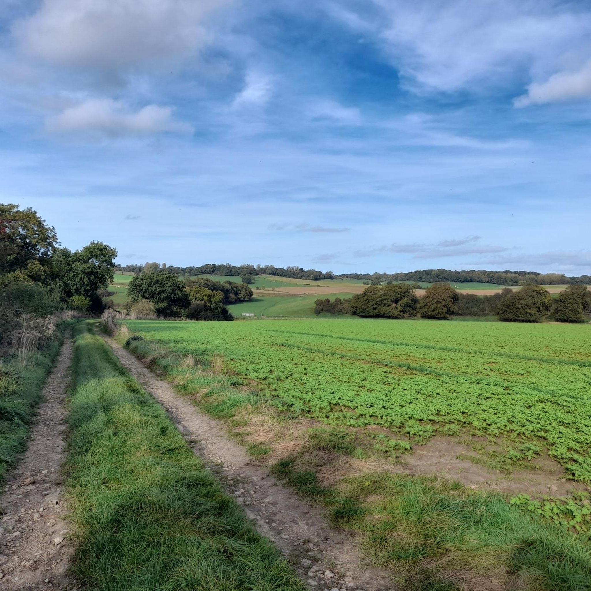
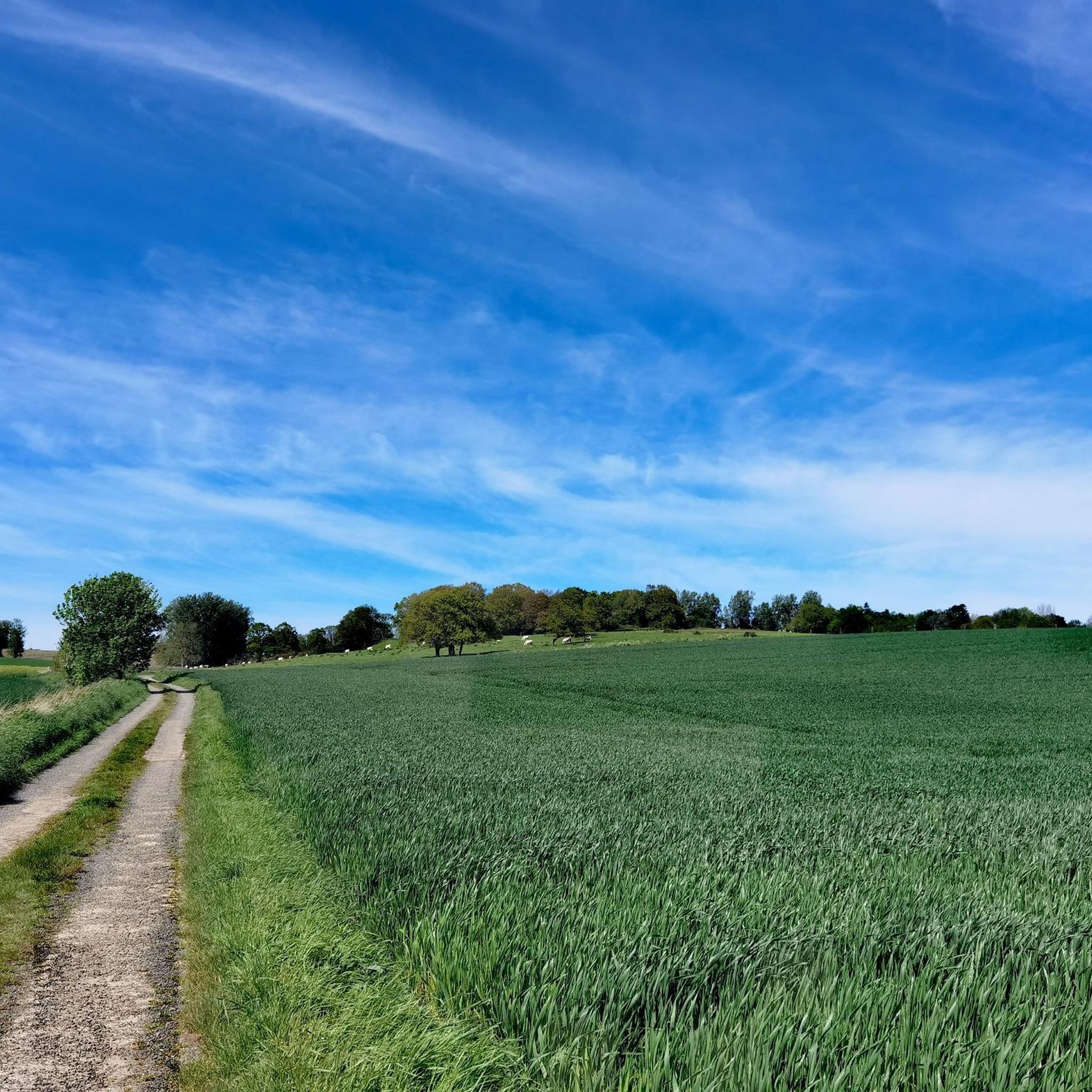
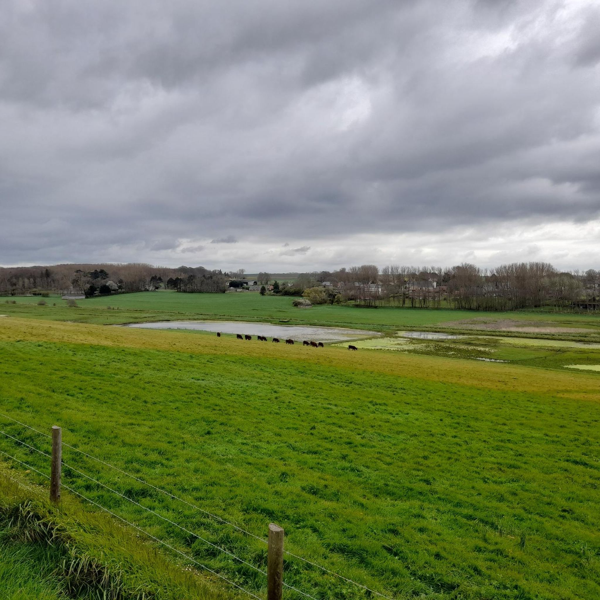
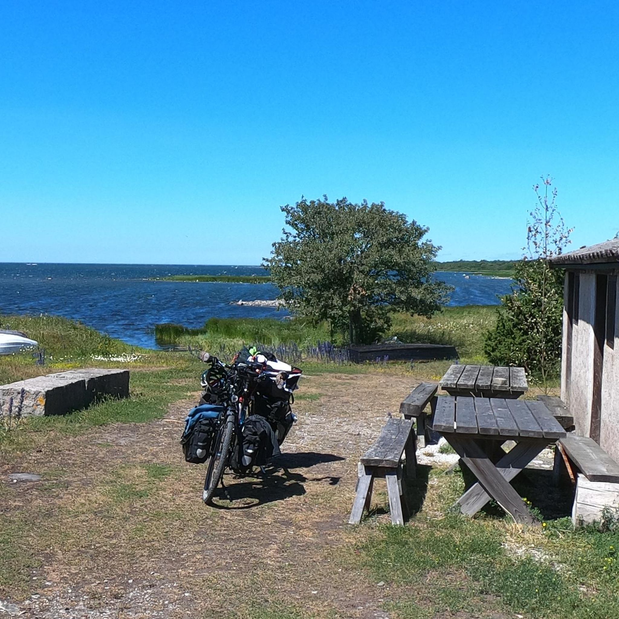
Tips from the Community

Very beautiful church to discover..nearby picnic table in the shade to rest
0
0
Place of meditation
0
0
Frequently Asked Questions
How many hiking trails are available around Thil-Manneville?
There are over 240 hiking trails around Thil-Manneville, offering a wide range of options for different skill levels and preferences. This includes over 120 easy routes, 100 moderate routes, and 10 more challenging trails.
Are there easy or beginner-friendly hiking trails in Thil-Manneville?
Yes, Thil-Manneville offers over 120 easy routes perfect for beginners or those looking for a relaxed stroll. A great option is the Parc du Colombier loop from Offranville, which is a gentle 4-mile (6.5 km) hike with minimal elevation gain.
What are the typical lengths and durations of hikes in this region?
Hikes around Thil-Manneville vary significantly in length and duration. You can find shorter walks like the Parc du Colombier loop from Offranville, which takes about 2 hours, to longer, more challenging routes such as the Moutiers Gorge – Varengeville-sur-Mer loop from Ouville-la-Rivière, which can take over 7 hours to complete.
Are there any circular walks available in Thil-Manneville?
Yes, many of the trails around Thil-Manneville are circular, allowing you to start and end at the same point. Examples include the Valleuse de Vasterival – Moutiers Gorge loop from Ouville-la-Rivière, which is a popular moderate route, and the Le Grand Bois loop from Gueures.
What kind of landscapes can I expect to see while hiking around Thil-Manneville?
The region is characterized by diverse landscapes, including coastal valleys, dense woodlands, and open agricultural areas. Many trails offer views of the coast and traverse charming small villages, providing a varied and scenic hiking experience.
What attractions or landmarks can I explore along the hiking trails?
Many trails pass by notable attractions. You can explore natural features like the Moutiers Gorge and Valleuse de Vasterival, or visit cultural sites such as Dieppe Castle and the Ailly Lighthouse. The Petit Ailly Beach is also accessible from some routes.
Is Thil-Manneville a good destination for family-friendly hikes?
Yes, with over 120 easy routes, Thil-Manneville offers many options suitable for families. These trails often feature gentle terrain and pleasant scenery, making them enjoyable for all ages. Look for shorter, well-maintained paths that pass through woodlands or open fields.
What do other hikers say about the trails in Thil-Manneville?
The hiking trails in Thil-Manneville are highly regarded by the komoot community, with an average rating of 4.6 stars from over 1,100 reviews. Hikers often praise the region's diverse landscapes, from coastal views to peaceful woodlands, and the well-maintained paths.
Are there any dog-friendly walks in the Thil-Manneville area?
Many trails in Thil-Manneville are suitable for walking with dogs, especially those that traverse woodlands and open countryside. Always ensure your dog is under control, and be mindful of local regulations, especially when passing through agricultural areas or near livestock.
When is the best time of year to go hiking in Thil-Manneville?
The best time to hike in Thil-Manneville is generally during spring, summer, and early autumn when the weather is mild and the landscapes are vibrant. However, the region's coastal and woodland trails can also offer beautiful, crisp walks during winter, provided you are prepared for cooler temperatures.
Where can I find parking for hiking trails in Thil-Manneville?
Parking is typically available near the starting points of many popular trails and in the villages surrounding Thil-Manneville. It's advisable to check specific route details on komoot for information on designated parking areas or village car parks close to your chosen hike.
Are there any challenging hikes for experienced hikers?
Yes, for experienced hikers seeking a challenge, Thil-Manneville offers 10 difficult routes. An example is the Arthur Gregory O'Dea Memorial – Saint-Martin Church loop from Brachy, a demanding 13.4-mile (21.6 km) path with significant elevation changes.
Most popular attractions around Thil-Manneville

Get inspired with the komoot mobile app


Explore more
Browse the best Hikes in other regions.
