The best running trails around Wilgartswiesen
4.7
(27)
518
runners
35
runs
Jogging routes Wilgartswiesen are set within the Palatinate Forest and Wasgau region, offering a diverse natural environment for runners. The area features extensive woodlands, unique rock formations, and varied topography, providing a scenic backdrop for running. Terrain ranges from accessible paths to more challenging trails with significant elevation changes, catering to different fitness levels. This region is characterized by its natural beauty and well-maintained trail network.
Best jogging routes around Wilgartswiesen
- The most popular jogging route is Middle Deichenwand Viewpoint…
Last updated: July 5, 2026
5.0
(1)
59
runners
Hard run. Very good fitness required. Sure-footedness, sturdy shoes and alpine experience required.
40
runners
15.4km
02:02
570m
570m
Hard run. Very good fitness required. Sure-footedness, sturdy shoes and alpine experience required.

Sign up for free
4.2
(5)
20
runners
Moderate run. Good fitness required. Mostly paved surfaces. Suitable for all skill levels.
5.0
(2)
21
runners
Moderate run. Good fitness required. Mostly paved surfaces. Suitable for all skill levels.
4.0
(3)
15
runners
10.00km
01:07
140m
150m
Moderate run. Good fitness required. Mostly paved surfaces. Suitable for all skill levels.
Get access to more routes and recommendations from other explorers.
Sign up for free
Already have an account?
Our route recommendations are based on thousands of hikes, rides, and runs completed by other people on komoot.
Start today with a free account
Your next adventure awaits.
Login or Signup
Popular around Wilgartswiesen
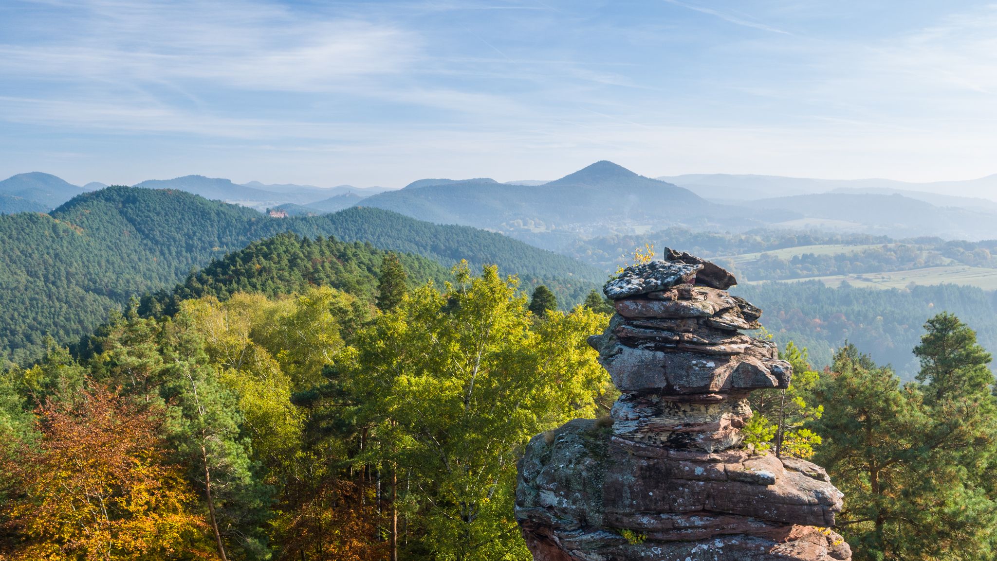
Palatinate hiking menu — day and half day hikes
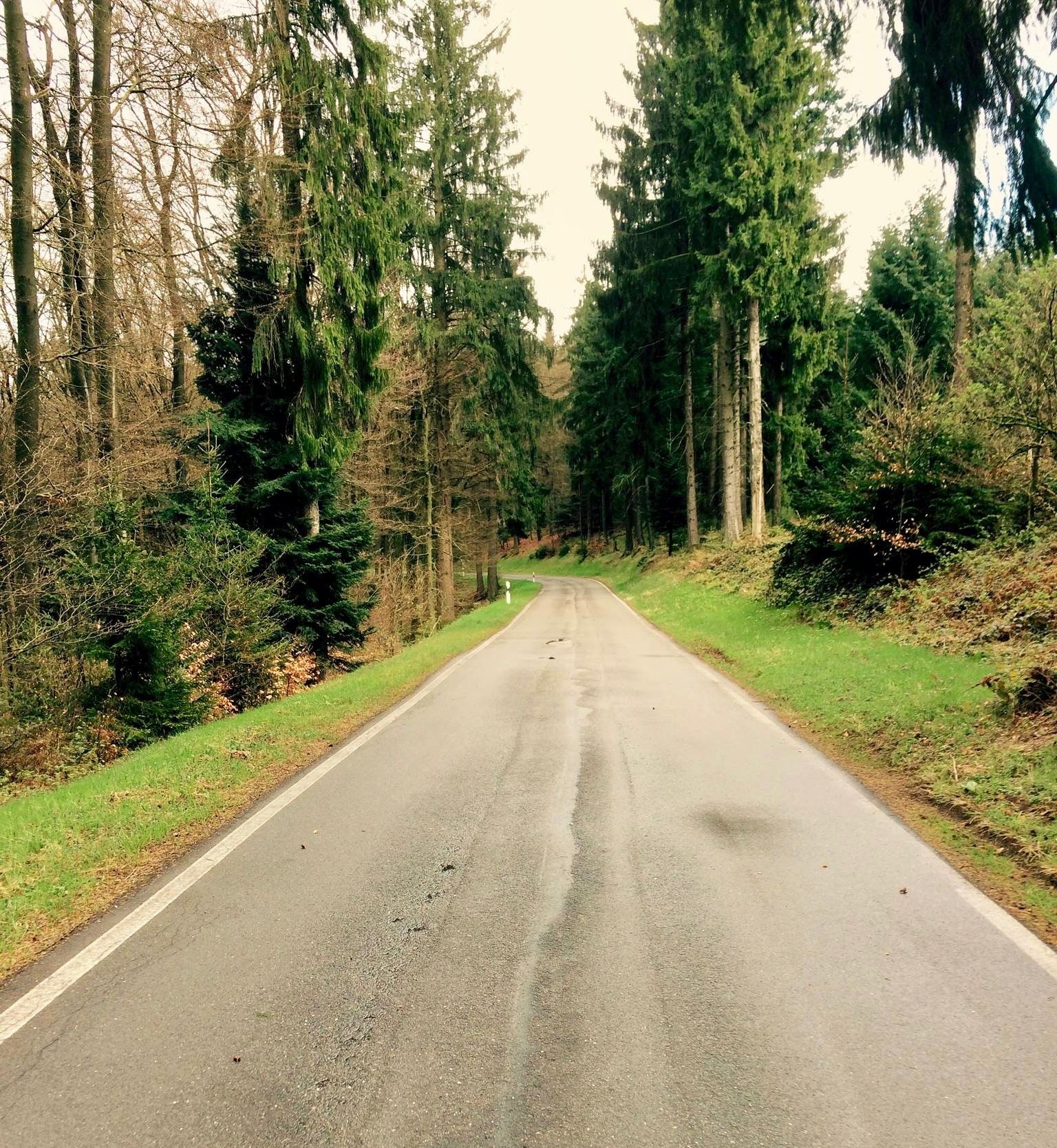
Short & crisp — passes in the Palatinate Forests
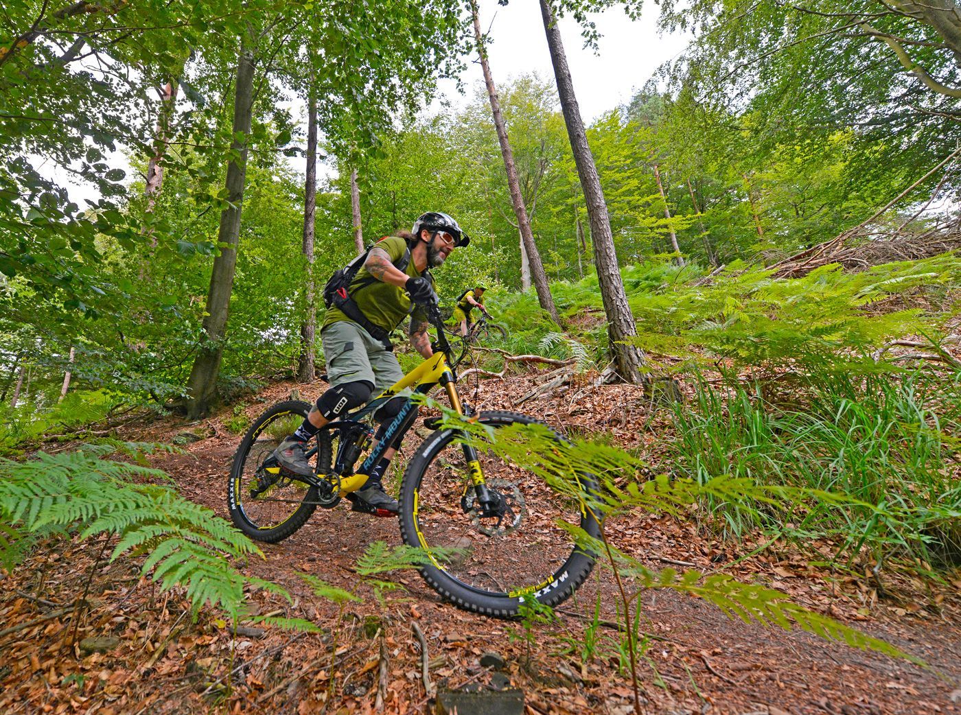
Offizielle Mountainbiketouren im Wasgau
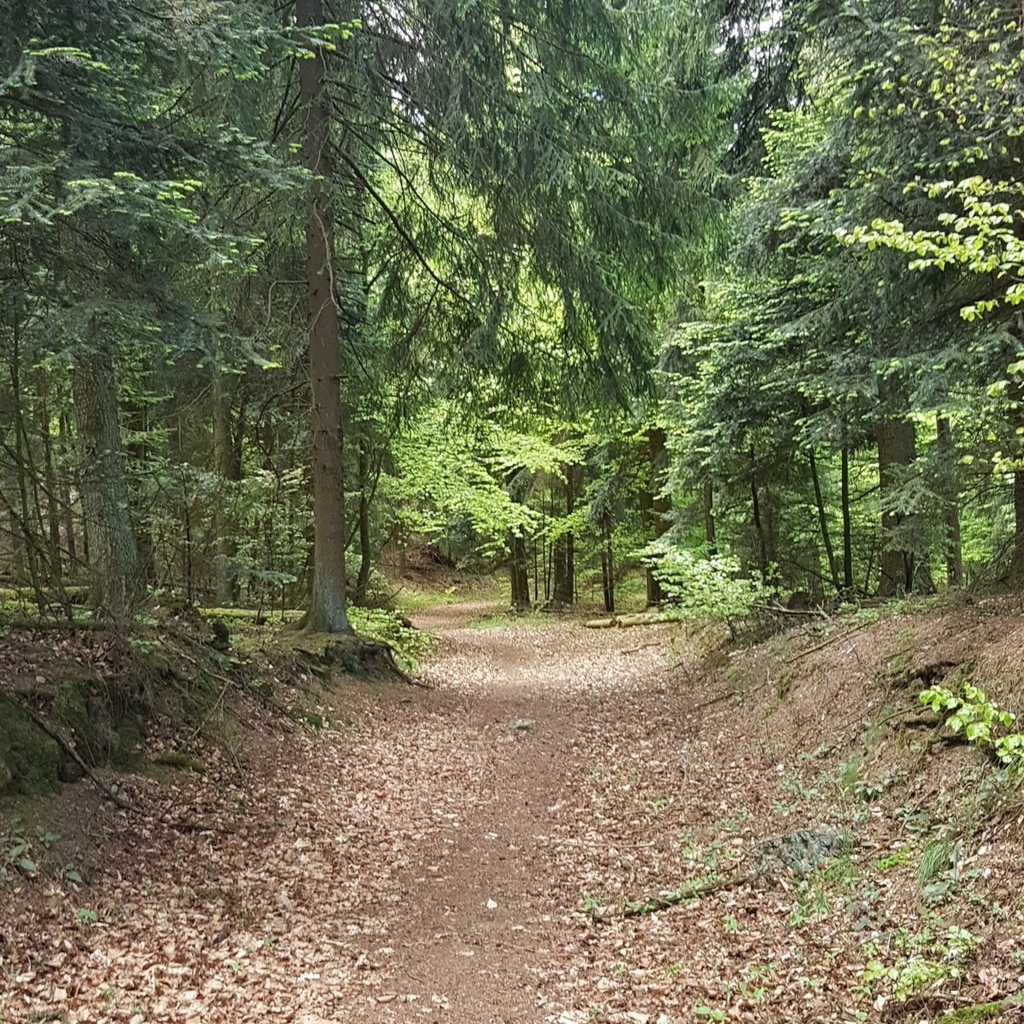
Hiking around Wilgartswiesen
MTB Trails around Wilgartswiesen
Cycling around Wilgartswiesen
Road Cycling Routes around Wilgartswiesen

Gravel biking around Wilgartswiesen
Mountain Hikes around Wilgartswiesen


Tips from the Community

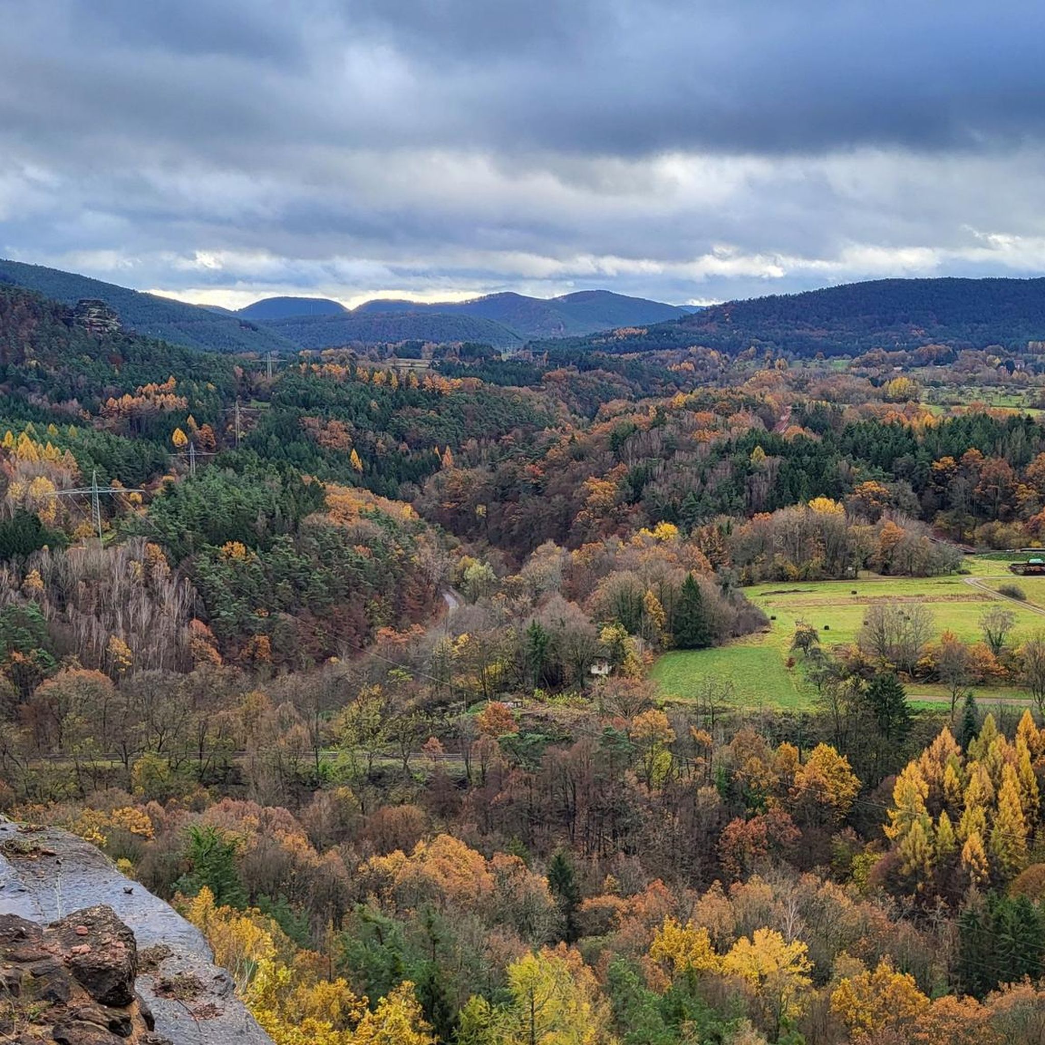
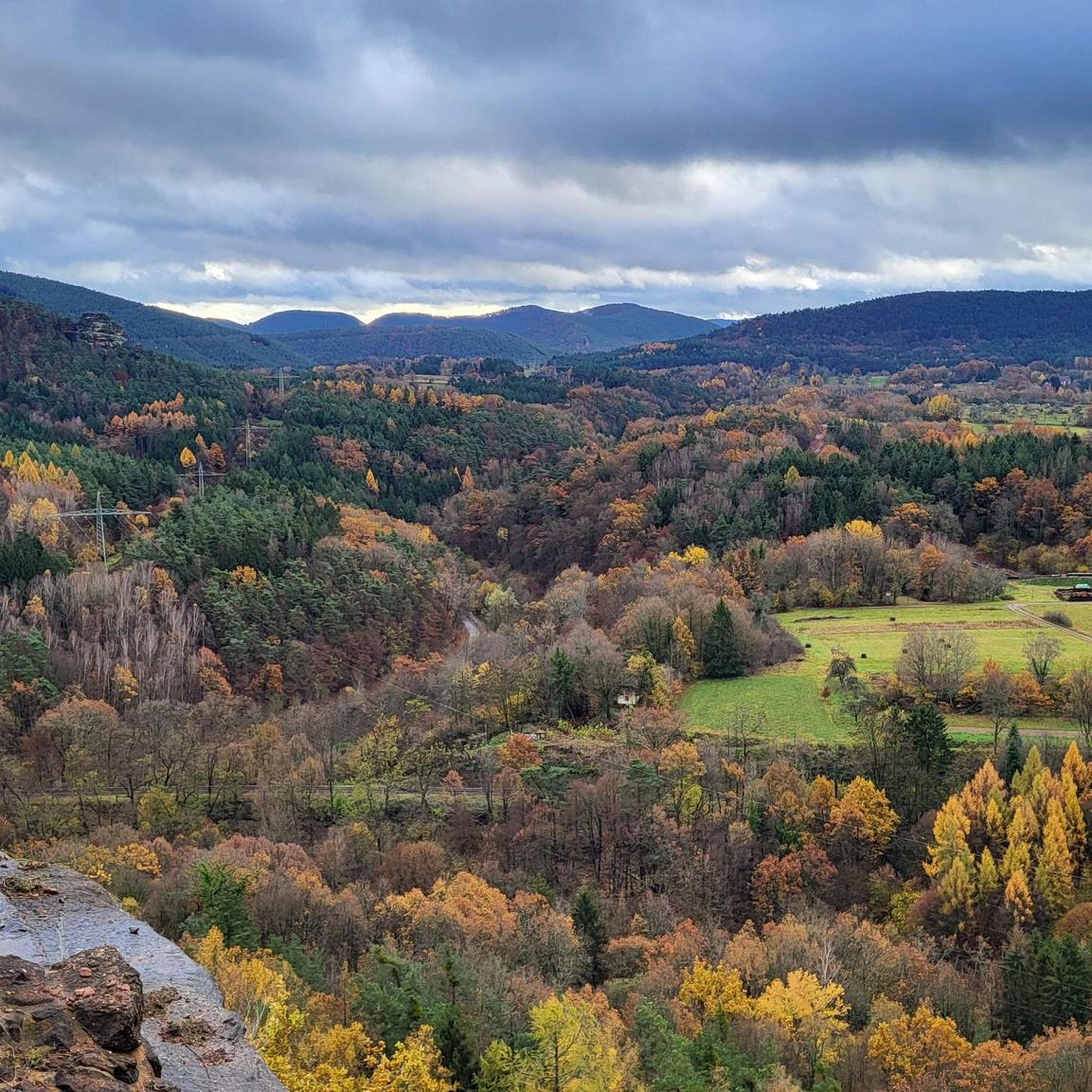
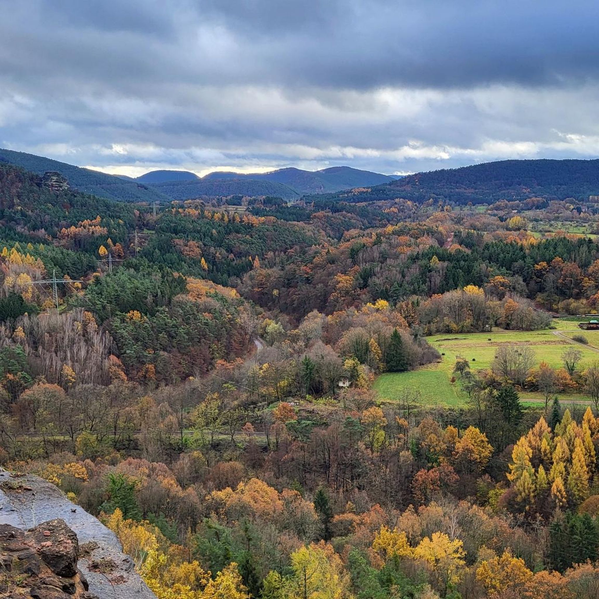
Reaching this large viewing platform on the Rauhberg pillar requires a short (and not entirely easy) scramble, as there's a sheer drop right next to it. The view from this platform is fantastic; however, there is NO safety barrier!
1
0
The village community center features a festival ground and a fountain (beautifully decorated for special holidays). Opposite is the war memorial for the victims of the two World Wars. Behind the festival ground by the village community center is the "Bruch Nature and Adventure Area" with benches, a playground, etc., which leads to the large hiking parking lot at the cemetery.
2
0

The Rauhberg Tunnel is a somewhat unique tunnel on the Rauhberg, located between Hauenstein and Spirkelbach. The tunnel portals are very close together, perhaps only 40 meters apart. Despite this relatively short distance, two bends extend the effective tunnel length to perhaps 100 meters. The cross-section of the tunnel, including the portals' lining, is reminiscent of a railway tunnel, but is considerably narrower and lacks a slope at the base of the lining. The tunnel is only partially lined, with the aforementioned lining on one side, which quickly transitions on both sides into a roughly finished cavern without any further construction. Sections of the tunnel, particularly where it is lined, have a poured concrete slab, which is provided with a drainage ditch on the Spirkelbach side. The lining towards the Hauenstein portal is shorter and designed without a drainage ditch, as the tunnel floor drops by approximately two meters relatively shortly after the Hauenstein portal towards the beginning of the cavern. However, this depression is rugged.
0
0

https://www.spirkelbach.com/ https://www.spirkelbach.com/tourismus/wandern-und-mehr/ https://de.wikipedia.org/wiki/Spirkelbach The Hölleenberg Trophy takes place annually. A spectacle for runners and mountain bikers https://www.htt-spirkelbach.de/trailpark/
0
0


It's a fair climb up the Rauhberg but it's well paved so you can do it with a bit of fitness. Highly recommended in summer because it's always fairly cool there.
1
0
Frequently Asked Questions
How many running routes are available around Wilgartswiesen?
Wilgartswiesen offers a diverse network of over 30 running routes. These range from moderate paths to more challenging trails with significant elevation changes, catering to various fitness levels.
Are there any easy or beginner-friendly jogging routes in Wilgartswiesen?
While many routes in Wilgartswiesen involve varied terrain and elevation, there are options suitable for beginners. The area features accessible paths, though specific 'easy' routes are less common than moderate or difficult ones. You can find routes with less ascent for a gentler experience.
What kind of terrain can I expect on the running trails in Wilgartswiesen?
The running trails in Wilgartswiesen are set within the Palatinate Forest and Wasgau region, characterized by extensive woodlands, unique rock formations, and varied topography. You'll encounter a mix of forest paths, some with significant ascents and descents, offering both scenic beauty and a good workout.
Are there any circular running routes available?
Yes, many of the running routes around Wilgartswiesen are circular, allowing you to start and finish at the same point. For example, the Middle Deichenwand Viewpoint – Wolf Pit (Wolfsgrube) loop from Wilgartswiesen is a popular circular option.
What are some notable viewpoints or attractions along the running routes?
The region boasts several scenic viewpoints and historical sites. You can enjoy views from the Middle Deichenwand Viewpoint on the Middle Deichenwand Viewpoint – Wolf Pit (Wolfsgrube) loop, or the Höllenfelsen Viewpoint on the Kleiner Rauhberg – Höllenfelsen Viewpoint loop. The Trifels Castle and Swallows' Rock are also nearby attractions that can be incorporated into longer runs or visited separately.
Are there family-friendly running options in Wilgartswiesen?
While many routes are challenging, some areas like the Wilgartswieser Biosphären-Pfad offer features that families might enjoy, such as the Lehrpfad im Schulwald (educational trail) and Waldkugelbahnen (forest marble runs). When choosing a route, look for those with less elevation gain and shorter distances for a more family-friendly experience.
Can I bring my dog on the running trails?
Generally, dogs are welcome on trails in the Palatinate Forest, but it's always advisable to keep them on a leash, especially in nature reserves or areas with wildlife. Always check local signage for specific rules and regulations regarding pets on trails.
Are there routes accessible by public transport or with parking facilities?
Many trailheads in the Wilgartswiesen area offer parking facilities. For public transport access, routes starting from Wilgartswiesen or nearby towns like Hauenstein Mitte, such as the Kleiner Rauhberg – Höllenfelsen Viewpoint loop from Hauenstein Mitte, are often more convenient. It's recommended to check local transport schedules and parking availability for your chosen starting point.
What do other runners say about the trails in Wilgartswiesen?
The running routes in Wilgartswiesen are highly rated by the komoot community, with an average score of 4.6 stars from over 20 reviews. Runners often praise the diverse natural environment, the well-maintained trails, and the scenic beauty of the Palatinate Forest and Wasgau region.
What is a good moderate-difficulty running route in the area?
A good moderate option is the Wolf Pit (Wolfsgrube) – Austraße Along the Queich loop from Wilgartswiesen. This 8.2-mile (13.1 km) trail leads through woodlands and alongside the Queich river, offering a balanced challenge without extreme elevation.
Are there any longer or more challenging running routes for experienced runners?
Yes, experienced runners will find plenty of challenging options. The Kleiner Rauhberg – Höllenfelsen Viewpoint loop from Hauenstein Mitte, for instance, is a difficult 9.6-mile (15.5 km) path with significant elevation changes, perfect for a strenuous workout.
What is the best time of year to go running in Wilgartswiesen?
The Palatinate Forest is beautiful year-round. Spring and autumn offer pleasant temperatures and vibrant scenery, while summer provides lush green forests. Even in winter, with appropriate gear, the trails can be enjoyed, though some paths might be slippery or covered in snow.
Can I find routes that are less crowded?
While popular routes can see more traffic, the extensive trail network around Wilgartswiesen means you can often find quieter paths, especially during off-peak hours or by exploring some of the less-advertised trails. Look for routes that are not explicitly listed as 'most popular' to discover more secluded spots.
Most popular routes around Wilgartswiesen
Most popular attractions around Wilgartswiesen

Get inspired with the komoot mobile app


Explore more
Browse the best Running Trails & Routes in other regions.
