Thaleischweiler-Fröschen
Thaleischweiler-Fröschen
The best running trails around Thaleischweiler-Fröschen
4.3
(283)
2,719
runners
237
runs
Jogging around Thaleischweiler-Fröschen offers diverse landscapes at the western edge of the Palatinate Forest, Germany's largest contiguous forest area. The region features dense forest paths, open sections across the Sickinger Höhe, and routes along valleys like the Wallhalbtal and Schwarzbachtal. Unique red sandstone formations, such as the Felsentor, are prominent natural features along many running routes. This varied terrain provides options for different preferences and fitness levels.
Best jogging routes around Thaleischweiler-Fröschen
- The most popular jogging route is View of…
Last updated: October 9, 2026
5.0
(2)
31
runners
Moderate run. Good fitness required. Mostly paved surfaces. Suitable for all skill levels.
27
runners
Hard run. Very good fitness required. Mostly paved surfaces. Suitable for all skill levels.

5.0
(5)
24
runners
Hard run. Very good fitness required. Mostly paved surfaces. Suitable for all skill levels.
5.0
(2)
22
runners
Hard run. Very good fitness required. Mostly paved surfaces. Suitable for all skill levels.
3.0
(1)
6
runners
5.23km
00:34
70m
70m
Moderate run. Good fitness required. Mostly paved surfaces. Suitable for all skill levels.
Get access to more routes and recommendations from other explorers.
Already have an account?
Our route recommendations are based on thousands of hikes, rides, and runs completed by other people on komoot.
Start today with a free account
Your next adventure awaits.
Tips from the Community

I could be wrong, but that should be the Rennwiese Zweibrücken.
0
0

The trail passes this small waterfall and the shelter. Unfortunately, there was trash at the shelter and at this beautiful spot. It's a shame, but that doesn't have to happen! Take your trash with you!
0
0

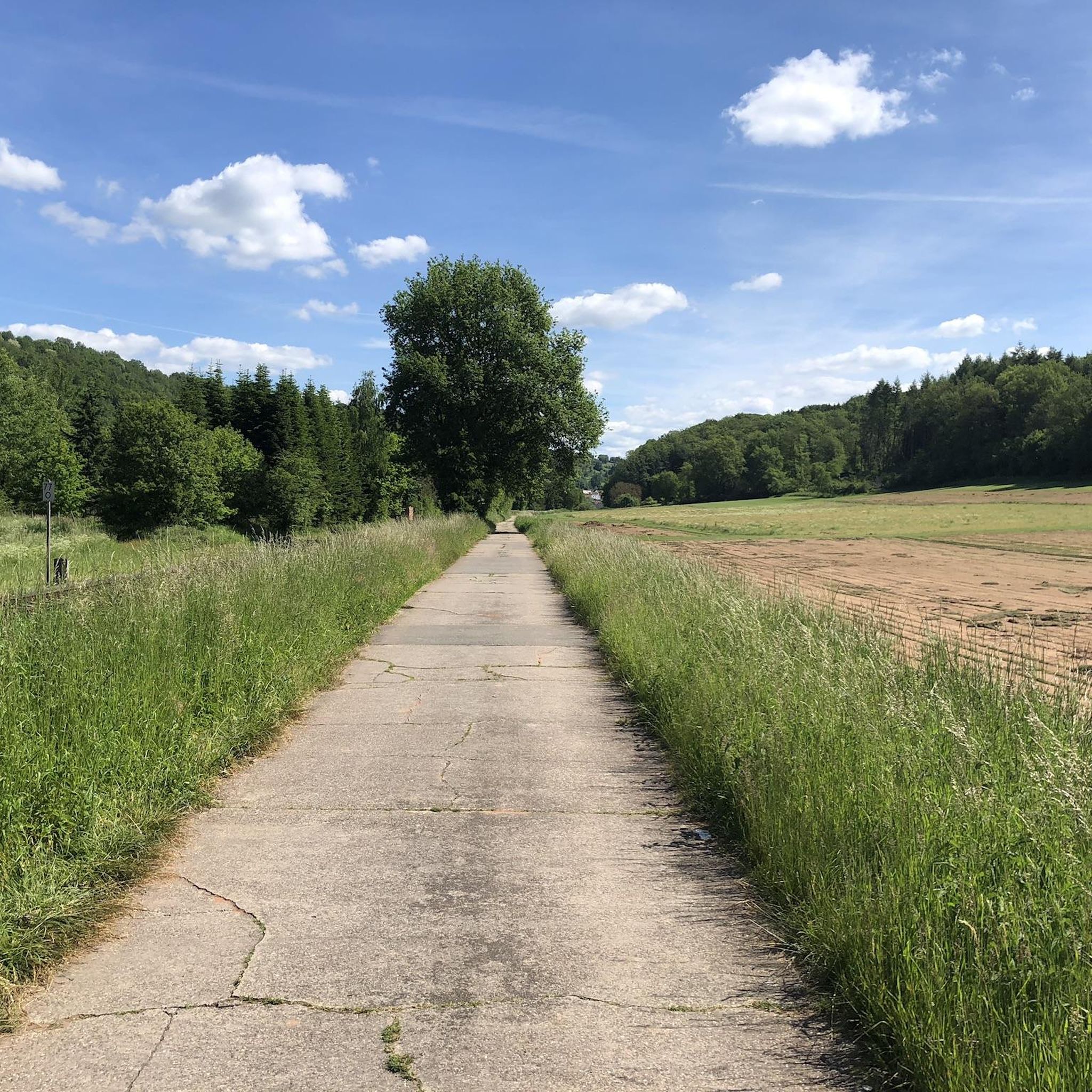
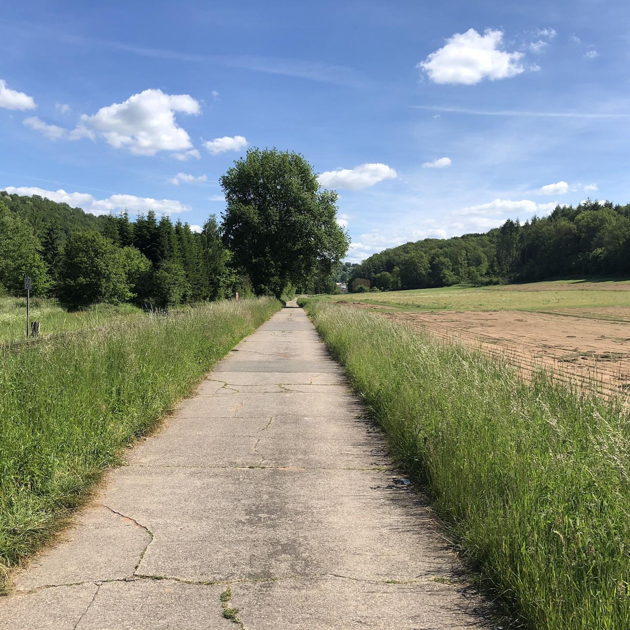
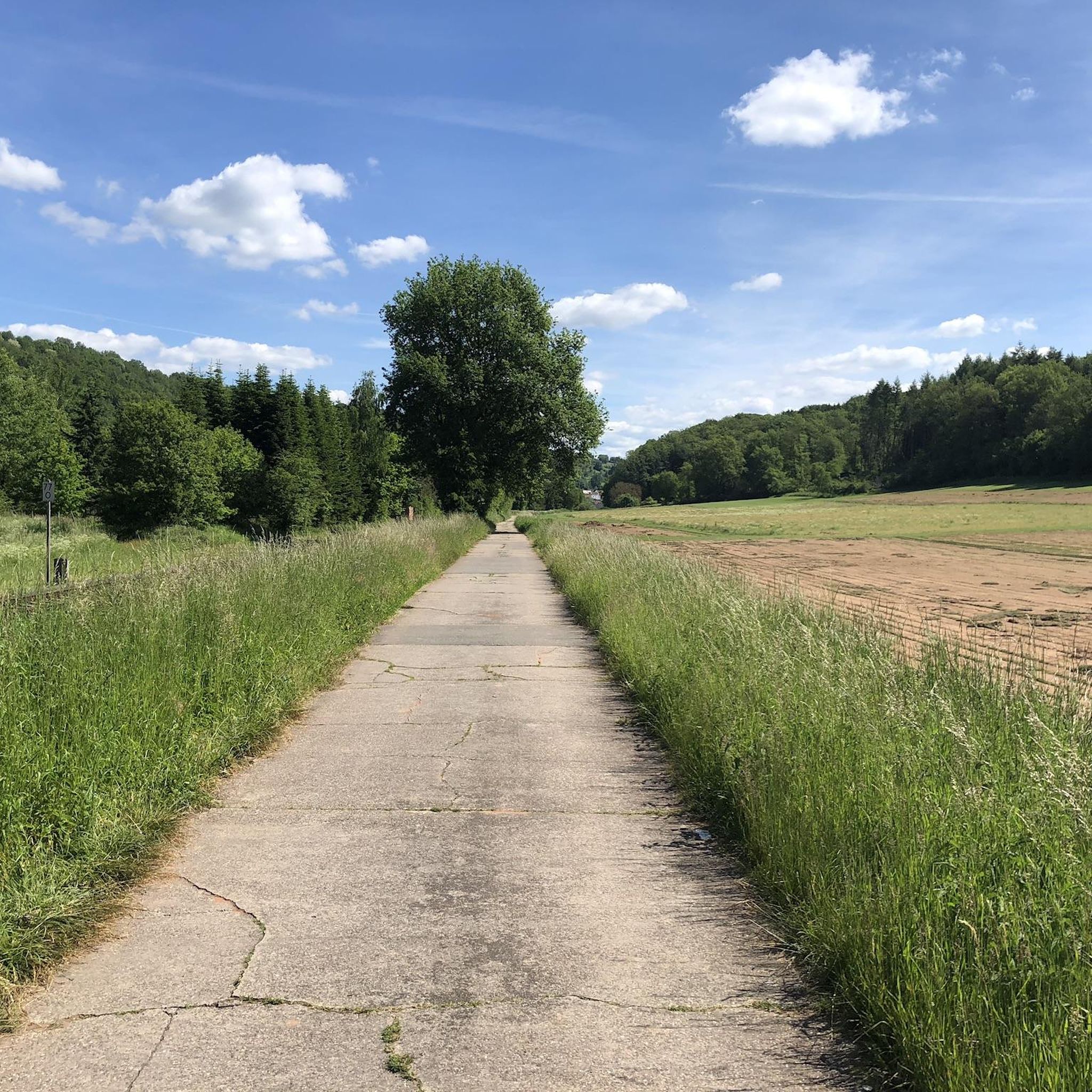
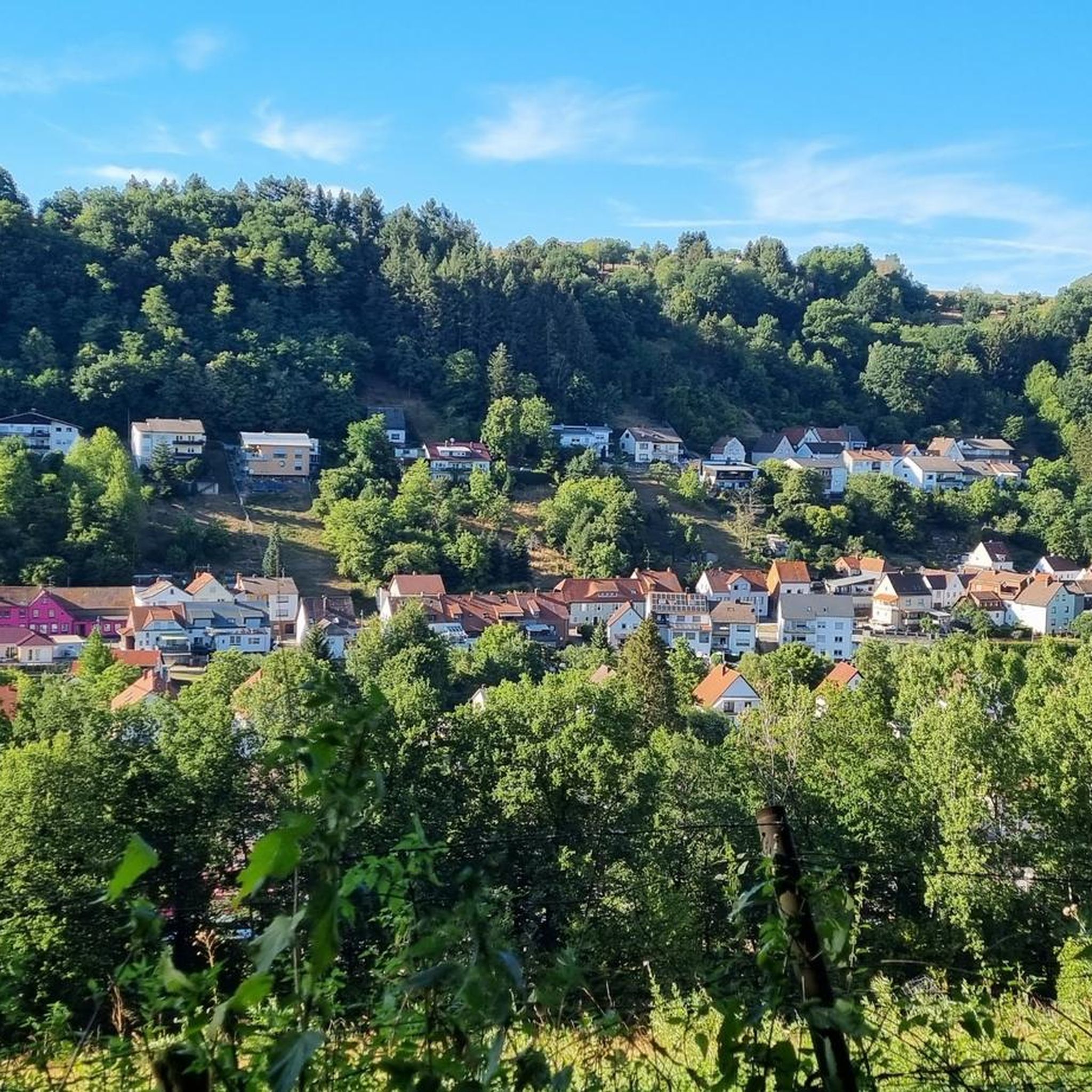
A beautiful, quiet riverside cycle path through the Schwarzbach Valley. A few charming villages and a few places to stop for refreshments.
3
0
It runs comfortably along the Schwarzbach stream in the valley.
3
0

The cycle path runs along the Schwarzbach for long stretches, is perfectly developed, cool, partially shady, and offers a constant view of the water.
1
0
The Schwarzbach stream meanders slowly along.
4
0
The cycle path is really nice and well signposted.
4
0
Frequently Asked Questions
How many running routes are available in Thaleischweiler-Fröschen?
There are over 250 running routes around Thaleischweiler-Fröschen, offering a wide variety of options for all fitness levels. This includes 24 easy routes, 174 moderate routes, and 53 challenging trails.
Are there any running routes with waterfalls in the region?
Yes, the region features scenic routes with waterfalls. For instance, the moderate 3.8-mile (6.2 km) route Weihermühle – Waterfall loop from Weihermühle (Ost) includes a beautiful waterfall. The Riesloch Gorge also boasts a picturesque waterfall, and the natural monument "Saufelsen" near Burg Steinenschloss has a small waterfall.
What kind of terrain can I expect on the jogging trails around Thaleischweiler-Fröschen?
The jogging trails in Thaleischweiler-Fröschen offer a diverse landscape. You'll find dense forest paths, open sections across the Sickinger Höhe, and routes along valleys like the Wallhalbtal and Schwarzbachtal. The area is also known for its unique red sandstone formations and varied inclines, providing options from gentle runs to more challenging trails.
Are there any family-friendly running routes?
While specific 'family-friendly' routes are not explicitly categorized, many of the easy and moderate trails, particularly those with less elevation gain, are suitable for families. The region's varied terrain allows you to choose paths that match your family's fitness level, often through scenic forests and along valleys.
Can I bring my dog on the running routes in Thaleischweiler-Fröschen?
Many trails in the Palatinate Forest region are dog-friendly, but it's always advisable to keep your dog on a leash, especially in nature reserves or areas with wildlife. The extensive forest paths provide ample space for you and your canine companion to enjoy a run together.
What are some notable landmarks or natural features I might see while running?
You'll encounter impressive natural beauty and historical sites. Highlights include unique red sandstone formations like the "Felsentor" (Rock Arch), Schillerwand, and Luitpoldfelsen. The "Obere Bärenhöhle" (Upper Bear Cave) and the scenic "Hexenklamm" (Witches' Gorge) are also points of interest. You might also pass historical mills along the Mühlenweg or the ruins of Burg Steinenschloss.
Are there circular running routes available?
Yes, many running routes in the area are circular, allowing you to start and end at the same point. For example, the View of Dellfeld – Schwarzbach Cycle Path loop from Thaleischweiler-Fröschen is a challenging 16.2-mile (26.0 km) loop, and the Weihermühle – Waterfall loop from Weihermühle (Ost) is a moderate 3.8-mile (6.2 km) circular path.
How do other runners rate the trails in Thaleischweiler-Fröschen?
The running routes in Thaleischweiler-Fröschen are highly rated by the komoot community, with an average score of 4.3 stars from over 250 reviews. Runners often praise the diverse landscapes, well-maintained paths, and the blend of natural beauty with historical elements.
Are there any running routes that pass by lakes or ponds?
Yes, several routes in the broader region of Thaleischweiler-Fröschen offer views of lakes and ponds. While not directly on every running route, nearby attractions include the West Bank of the Eisweiher, Clausensee Lake, and Hammel Pond, which can be incorporated into longer runs or visited separately.
What are some challenging running routes in the area?
For those seeking a challenge, Thaleischweiler-Fröschen offers several difficult routes. The View of Dellfeld – Schwarzbach Cycle Path loop from Thaleischweiler-Fröschen is a difficult 16.2-mile (26.0 km) trail. Another demanding option is the Parking Lot at the Boule Court – Zwingli Church Niederauerbach loop from Thaleischweiler-Fröschen, which spans 28.8 miles (46.4 km) with significant elevation changes.
Is there public transport access to the trailheads?
While many trailheads are accessible by car, public transport options exist to reach various points in the region. Local bus routes connect Thaleischweiler-Fröschen with surrounding villages and towns, from where you can often access trails. It's recommended to check local bus schedules for specific trailhead access.
Are there specific parking areas for runners at trailheads?
Yes, many popular running routes and natural attractions in the Thaleischweiler-Fröschen area have designated parking areas. For instance, you can often find parking near the starting points of trails leading to Burg Steinenschloss or along the Schwarzbach Cycle Path. Specific parking information is usually available on individual route descriptions on komoot.
Most popular routes around Thaleischweiler-Fröschen
Most popular attractions around Thaleischweiler-Fröschen

Get inspired with the komoot mobile app


Explore more
Browse the best Running Trails & Routes in other regions.
