Obernheim-Kirchenarnbach
Obernheim-Kirchenarnbach
The best running trails around Obernheim-Kirchenarnbach
4.4
(350)
2,974
runners
229
runs
Jogging around Obernheim-Kirchenarnbach offers a variety of routes through the region's diverse landscape. The area features a mix of gentle hills, wooded sections, and open paths, providing varied terrain for runners. Elevation changes are generally moderate, making many routes accessible for different fitness levels. The trails often pass through rural settings, connecting local villages and natural areas.
Best jogging routes around Obernheim-Kirchenarnbach
- The most popular jogging route is Running loop from Queidersbach, a 3.7 miles (5.9 km) trail that…
Last updated: July 6, 2026
17
runners
7.12km
00:47
100m
100m
Moderate run. Good fitness required. Mostly paved surfaces. Suitable for all skill levels.
17
runners
5.93km
00:39
90m
90m
Moderate run. Good fitness required. Mostly paved surfaces. Suitable for all skill levels.

Sign up for free
14
runners
7.90km
00:50
70m
70m
Moderate run. Good fitness required. Mostly paved surfaces. Suitable for all skill levels.
10
runners
12.1km
01:18
120m
120m
Moderate run. Good fitness required. Mostly paved surfaces. Suitable for all skill levels.
7
runners
4.25km
00:27
40m
40m
Easy run. Great for any fitness level. Mostly paved surfaces. Suitable for all skill levels.
Get access to more routes and recommendations from other explorers.
Sign up for free
Already have an account?
Our route recommendations are based on thousands of hikes, rides, and runs completed by other people on komoot.
Start today with a free account
Your next adventure awaits.
Login or Signup
Tips from the Community

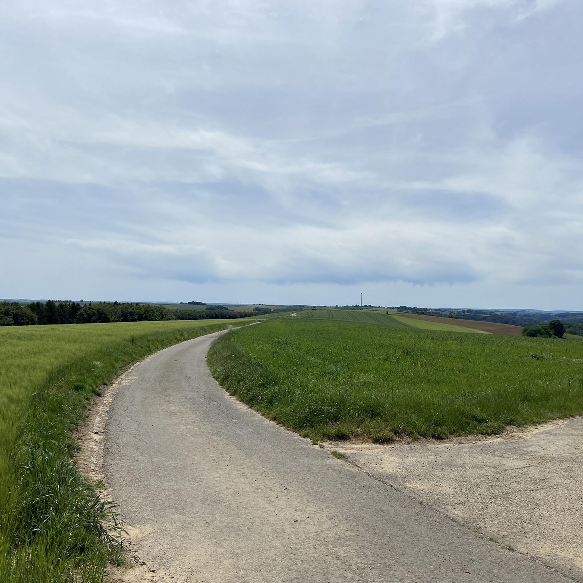
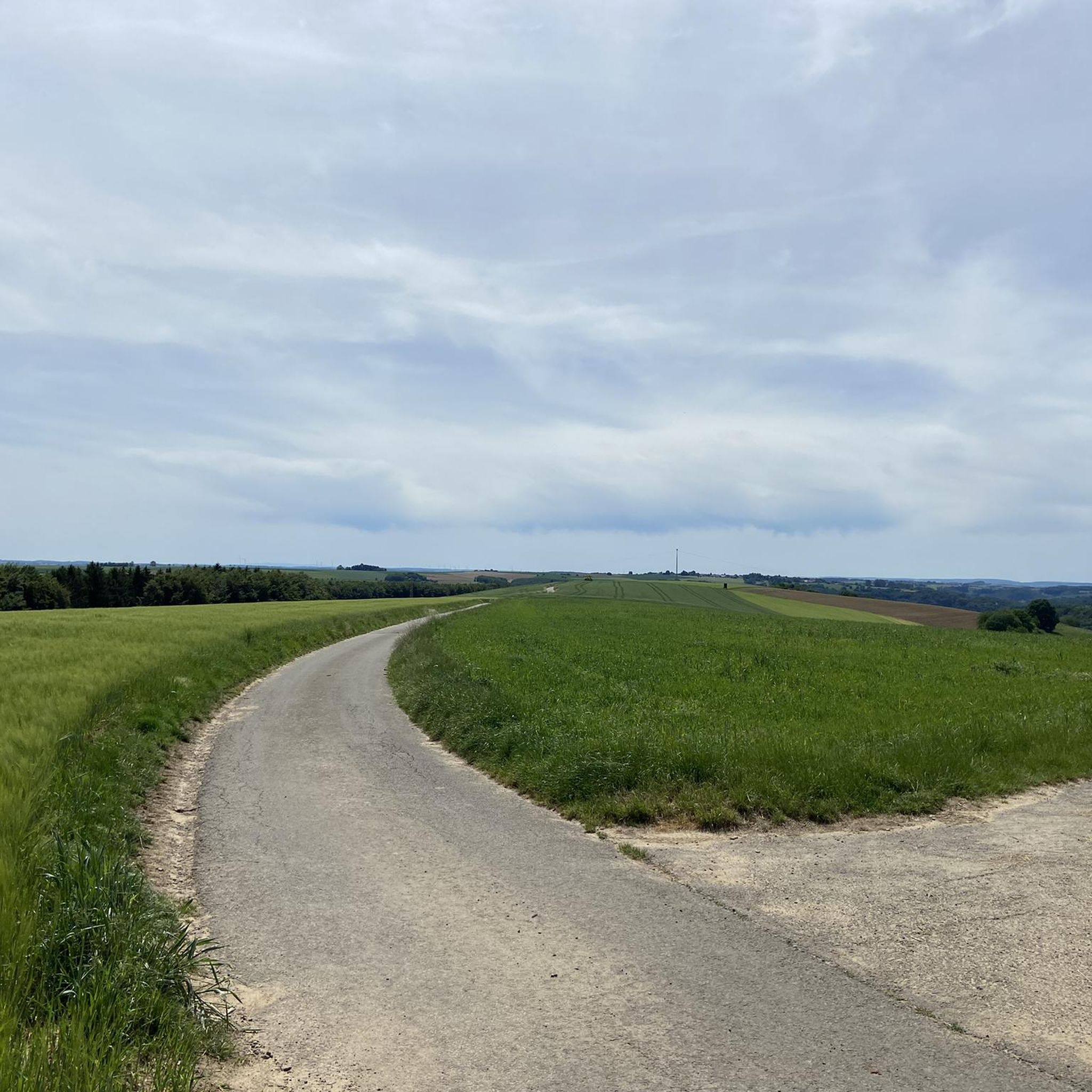
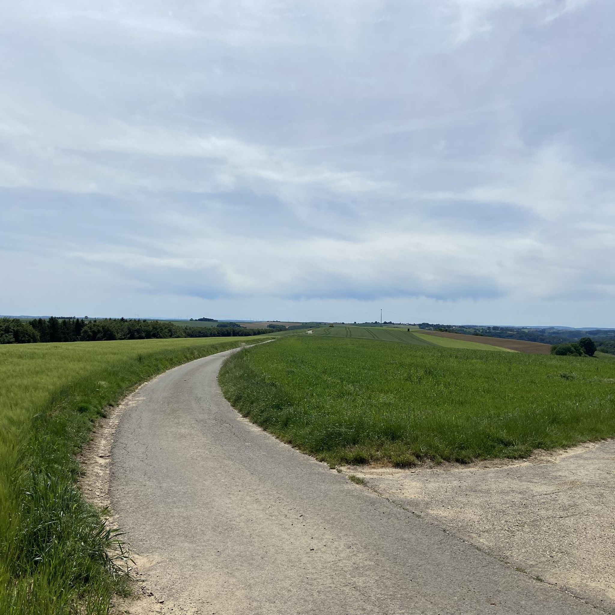
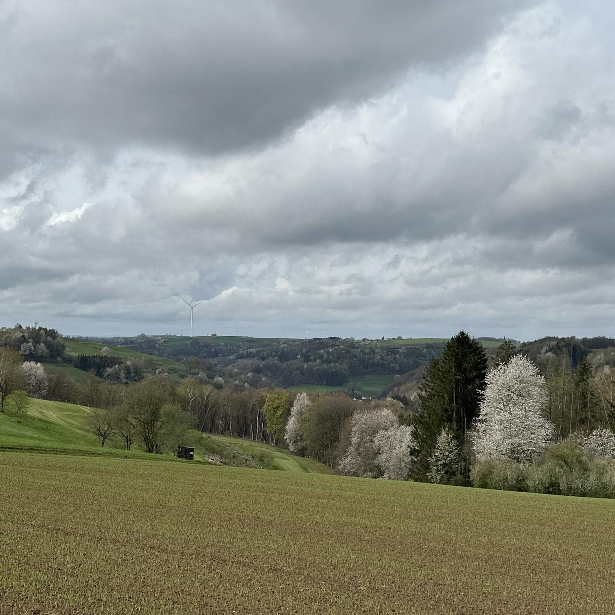
Beautiful path across the fields, from which you have great views over the wide landscape and the Palatinate Forest.
0
0
Frequently Asked Questions
How many running routes are available in Obernheim-Kirchenarnbach?
There are over 200 running routes around Obernheim-Kirchenarnbach, offering a wide variety of options for all fitness levels. The komoot community has explored more than 2,700 of these trails.
Are there running routes suitable for beginners in Obernheim-Kirchenarnbach?
Yes, Obernheim-Kirchenarnbach offers several easy running routes perfect for beginners. For example, the Running loop from Bann is an easy 2.9-mile (4.6 km) path with relatively flat terrain. Another great option is the Running loop from Weselberg, which is 2.5 miles (4 km) long and also considered easy.
What is the typical length of running trails in the Obernheim-Kirchenarnbach area?
Running trails in Obernheim-Kirchenarnbach vary in length, but many popular routes range from 2 to 8 miles (3 to 13 km). For instance, the Running loop from Queidersbach is 3.7 miles (5.9 km), while the St. Antonius Catholic Church loop from Queidersbach extends to 7.5 miles (12.1 km).
Are there any family-friendly jogging routes in Obernheim-Kirchenarnbach?
Many of the easier and moderate routes in Obernheim-Kirchenarnbach are suitable for families, especially those with older children. Trails with moderate elevation changes and well-maintained paths, like the Running loop from Bann, provide a pleasant experience for all. Always check the route details for specific difficulty and terrain before heading out with your family.
Can I bring my dog on the running trails near Obernheim-Kirchenarnbach?
Yes, many trails in the Obernheim-Kirchenarnbach region are dog-friendly. The area's wooded sections and open paths provide a great environment for running with your canine companion. Remember to keep your dog on a leash, especially near wildlife or in populated areas, and always clean up after them. Specific route details on komoot often indicate if a trail is suitable for dogs.
What kind of natural sights or landmarks can I see while running near Obernheim-Kirchenarnbach?
The region offers several interesting natural sights. You might encounter unique geological features like the Krämerstein Rock Formation or the Bärenloch Natural Monument. Some routes may also lead you past the Small Waterfall and Rocky Overhang (Palatinate), adding a scenic element to your run.
Are there circular running routes available in Obernheim-Kirchenarnbach?
Yes, the majority of running routes in Obernheim-Kirchenarnbach are circular, allowing you to start and finish at the same point. This is convenient for parking and planning. Examples include the Running loop from Queidersbach and the Kreuzberg – Top of the Hill – Windmill Run loop from Bann.
What do other runners enjoy most about jogging in Obernheim-Kirchenarnbach?
The running routes in Obernheim-Kirchenarnbach are highly rated by the komoot community, with an average score of 4.4 stars from over 200 reviews. Runners often praise the region's diverse landscape, which includes a mix of gentle hills, wooded sections, and open paths, providing varied terrain and pleasant scenery.
Are there any routes that pass by interesting historical or cultural points?
While the region is primarily known for its natural beauty, some routes connect local villages and may pass by local churches or traditional buildings. For example, the St. Antonius Catholic Church loop from Queidersbach leads through local villages and open fields, offering glimpses of regional architecture.
What is the best time of year for running in Obernheim-Kirchenarnbach?
Spring and autumn are generally considered the best times for running in Obernheim-Kirchenarnbach. The mild temperatures and vibrant natural colors make for a very pleasant experience. Summer can also be enjoyable, especially in the mornings or evenings, while winter runs are possible, though some trails might be muddy or icy depending on conditions.
Are there any huts or shelters along the running trails for a break?
Yes, the region around Obernheim-Kirchenarnbach features several huts and cabins that can serve as resting points or shelters. While not directly on every running route, some trails pass near places like the Fritz Claus Hut (PWV Martinshöhe) or the Nature Friends House Finsterbrunnertal. These can be great spots for a short break or to grab a refreshment.
How challenging are the running routes in Obernheim-Kirchenarnbach?
The routes in Obernheim-Kirchenarnbach offer a range of difficulties. You'll find 26 easy routes, 148 moderate routes, and 27 difficult routes. The elevation changes are generally moderate, making many routes accessible for different fitness levels. You can choose a route like the Running loop from Bann for an easy run or opt for a longer, more challenging trail if you're looking for a greater workout.
Most popular routes around Obernheim-Kirchenarnbach
Most popular attractions around Obernheim-Kirchenarnbach

Get inspired with the komoot mobile app


Explore more
Browse the best Running Trails & Routes in other regions.
