The best MTB trails around Le Catelier
4.4
(32)
268
riders
59
rides
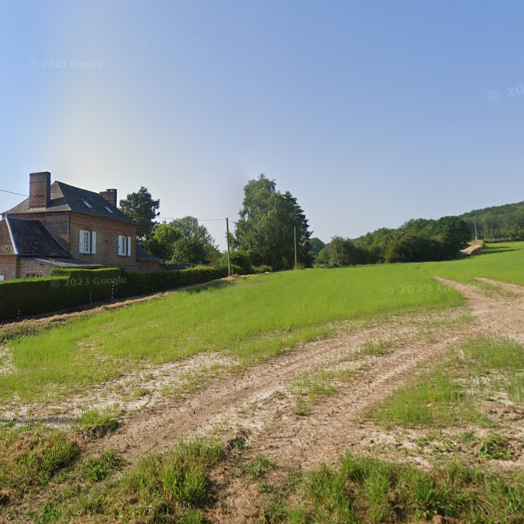
Mountain bike trails around Le Catelier are characterized by an undulating rural landscape, featuring a mix of agricultural land and forests. The terrain includes varied elevations, with altitudes ranging from 65 meters to 168 meters, providing opportunities for ascents and descents. The area benefits from preserved pathways and a network of trails that traverse both open fields and wooded sections.
Best mountain bike trails around Le Catelier
- The most popular mountain bike trail is Accrobranches Denestanville loop from Longueville-sur-Scie,…
Last updated: June 29, 2026
23
riders
35.7km
02:48
480m
480m
Moderate mountain bike ride. Good fitness required. Suitable for all skill levels.
5.0
(1)
23
riders
83.8km
07:08
1,360m
1,360m
Hard mountain bike ride. Very good fitness required. Suitable for all skill levels.

Sign up for free
4.0
(1)
11
riders
27.5km
02:09
450m
450m
Moderate mountain bike ride. Good fitness required. Suitable for all skill levels.
11
riders
31.2km
02:22
400m
400m
Moderate mountain bike ride. Good fitness required. Advanced riding skills necessary.
5.0
(4)
9
riders
Moderate mountain bike ride. Good fitness required. Suitable for all skill levels.
Get access to more routes and recommendations from other explorers.
Sign up for free
Already have an account?
Our route recommendations are based on thousands of hikes, rides, and runs completed by other people on komoot.
Start today with a free account
Your next adventure awaits.
Login or Signup

Tips from the Community

Picturesque stone bridge
0
0

Currently in ruins, this ancient feudal castle which existed from the 11th to the 15th century was built by a companion of William the Conqueror, Gauthier Giffard. An interpretation panel allows you to find out more about the place.
1
0

The Martigny wooden bridge is a wooden bridge that crosses Varenne and connects the villages of Saint-Aubin-le-Cauf and Martigny. It dates from the 17th century and was part of an ancient trade route linking Paris to Dieppe. You can admire the large sandstone slabs that support the bridge and the picturesque landscape of the valley.
2
0

Possibility of bivouac and a small bench to rest
1
0
Denestanville tree climbing
1
0
Frequently Asked Questions
How many mountain bike trails are available around Le Catelier?
There are over 50 mountain bike trails around Le Catelier, offering a diverse range of routes for different skill levels. The komoot community has explored more than 250 mountain biking tours in the area.
What kind of terrain can I expect on mountain bike trails around Le Catelier?
The terrain around Le Catelier is characterized by an undulating rural landscape, featuring a mix of agricultural land and extensive forests. You'll encounter varied elevations, with altitudes ranging from 65 meters to 168 meters, providing opportunities for both challenging ascents and descents. The area benefits from preserved pathways that wind through open fields and wooded sections.
Are there challenging mountain bike routes in Le Catelier?
Yes, Le Catelier offers several challenging mountain bike routes. For instance, the Martigny wooden bridge loop from Longueville-sur-Scie is a difficult 54.8 km path featuring significant elevation changes and diverse landscapes. Another demanding option is the Accrobranches Denestanville – Val Ygot V-1 site loop from Longueville-sur-Scie, which covers over 82 km with substantial climbs.
Are there any easy mountain bike trails for beginners in Le Catelier?
Yes, Le Catelier has 17 easy mountain bike trails suitable for beginners or those looking for a more relaxed ride. These routes typically navigate through the region's rural scenery and forest sections without extreme gradients, allowing for an enjoyable introduction to mountain biking in the area.
What are some scenic points of interest I can find along the trails?
While riding, you might encounter parts of the Avenue Verte: Neufchâtel-en-Bray to Dieppe Cycle Path, which offers picturesque views. The region's mix of agricultural fields and extensive forests provides varied and scenic backdrops throughout your ride. You can also explore the Le col D'OSMOY 162m for a notable elevation point.
Are there circular mountain bike routes available?
Many of the mountain bike trails around Le Catelier are designed as circular routes, allowing you to start and finish at the same point. Examples include the moderate Accrobranches Denestanville loop from Longueville-sur-Scie and the Bois du Héron loop from Longueville-sur-Scie, which leads through woodlands and open countryside.
What is the best time of year for mountain biking in Le Catelier?
The diverse landscape of Le Catelier, with its mix of forests and open fields, makes it suitable for mountain biking across multiple seasons. Spring and autumn offer pleasant temperatures and vibrant scenery, while summer provides longer daylight hours. Even in winter, the preserved pathways can be enjoyable, though conditions may vary.
What do other mountain bikers say about the trails in Le Catelier?
The mountain bike trails around Le Catelier are highly rated by the komoot community, with an average score of 4.3 stars from over 20 reviews. Mountain bikers often praise the varied terrain, the mix of forest and rural landscapes, and the well-maintained pathways that cater to different skill levels.
Are there any family-friendly mountain bike trails in Le Catelier?
Yes, with 17 easy routes available, there are several family-friendly options for mountain biking in Le Catelier. These trails typically feature gentler gradients and less technical terrain, making them suitable for families with children or those seeking a more relaxed outing amidst the scenic rural landscape.
Can I bring my dog on the mountain bike trails in Le Catelier?
Many natural trails in the Seine-Maritime region, including those around Le Catelier, are generally accessible for dogs, especially in forested and rural areas. However, it's always recommended to keep dogs on a leash, especially near agricultural land or wildlife, and to check specific trail regulations or local signage before you go.
Where can I park my car when visiting the mountain bike trails?
Given Le Catelier's rural setting, parking is typically available in or near the villages and at common access points to trails. For routes starting from Longueville-sur-Scie, you can usually find parking in the village center or designated areas. Always look for local signage for specific parking instructions at trailheads.
Are there options for public transport to access the trails around Le Catelier?
Le Catelier is a small commune, so direct public transport options might be limited. However, nearby larger towns like Longueville-sur-Scie may offer regional bus or train connections. From there, you might need to cycle or arrange local transport to reach specific trailheads. Planning your route in advance using komoot can help identify convenient access points.
How long do the mountain bike trails typically take to complete?
The duration of mountain bike trails varies significantly based on their length and difficulty. For example, the moderate Accrobranches Denestanville loop from Longueville-sur-Scie is about 35 km and takes approximately 2 hours 46 minutes. More challenging routes like the Val Ygot V-1 site – Caule Wood Path loop from Longueville-sur-Scie, at nearly 62 km, can take over 5 hours.
Most popular routes around Le Catelier
Most popular attractions around Le Catelier

Get inspired with the komoot mobile app


Explore more
Browse the best MTB trails in other regions.
