The best walks and hikes around Étoutteville
4.4
(85)
516
hikers
83
hikes
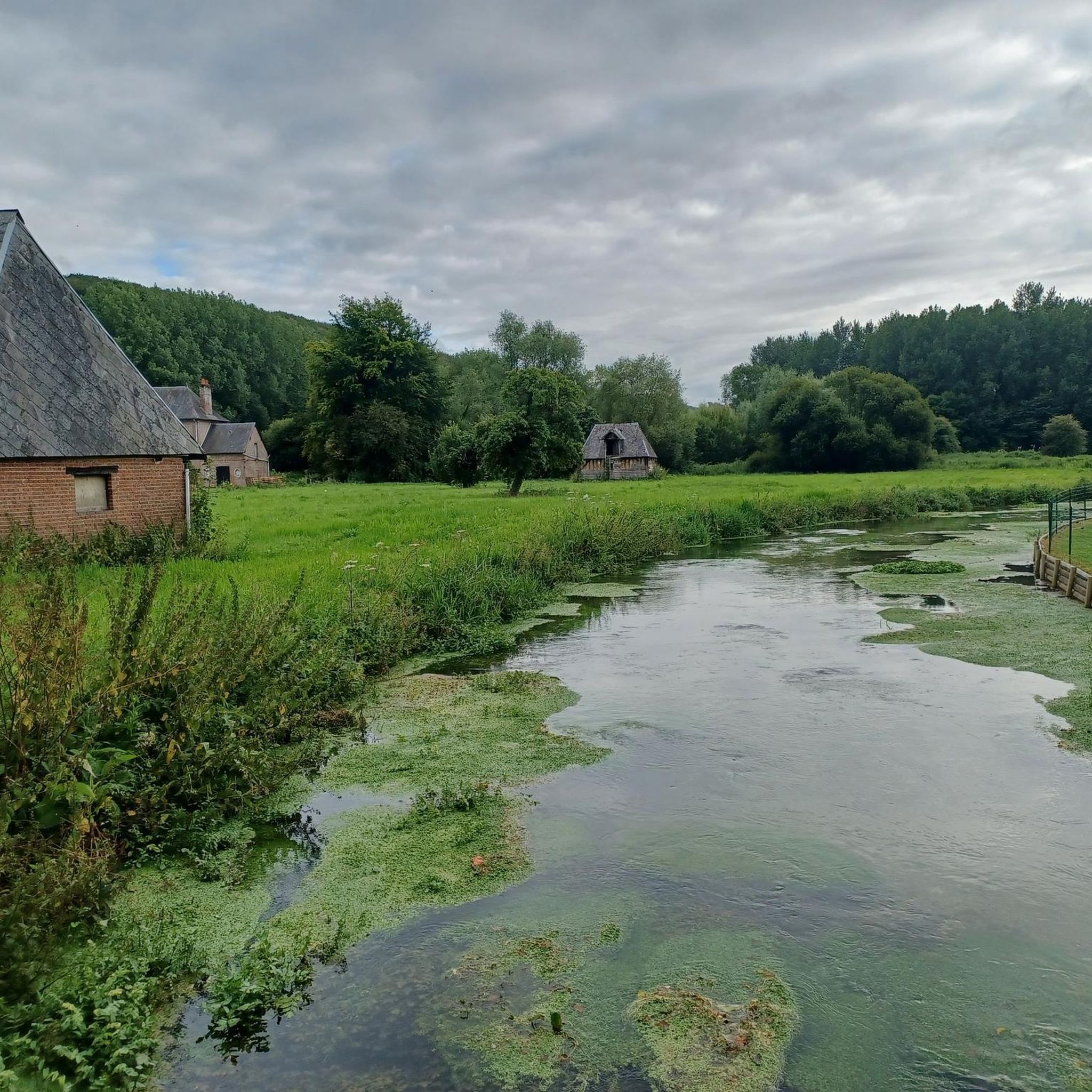
Hiking around Étoutteville offers exploration of the Pays de Caux, a plateau region characterized by chalky terrain, meadows, wooded valleys, and apple orchards. The area features distinctive "clos-masures," traditional Norman farmsteads enclosed by tall beech hedges. Elevations range from 104m to 160m, providing varied terrain suitable for different hiking levels. Étoutteville is also near the Parc Naturel Régional des Boucles de la Seine Normande, which includes the meandering Seine River, cliffs, and extensive forests.
Best hiking trails around Étoutteville
- The…
Last updated: June 25, 2026
5.0
(1)
6
hikers
5.85km
01:31
30m
30m
Easy hike. Great for any fitness level. Easily-accessible paths. Suitable for all skill levels.
6
hikers
12.8km
03:18
50m
50m
Moderate hike. Good fitness required. Easily-accessible paths. Suitable for all skill levels.

Sign up for free
5
hikers
9.03km
02:23
80m
80m
Moderate hike. Good fitness required. Easily-accessible paths. Suitable for all skill levels.
3.5
(2)
7
hikers
4.88km
01:14
10m
10m
Easy hike. Great for any fitness level. Easily-accessible paths. Suitable for all skill levels.
6
hikers
4.95km
01:18
40m
40m
Easy hike. Great for any fitness level. Easily-accessible paths. Suitable for all skill levels.
Get access to more routes and recommendations from other explorers.
Sign up for free
Already have an account?
Our route recommendations are based on thousands of hikes, rides, and runs completed by other people on komoot.
Start today with a free account
Your next adventure awaits.
Login or Signup




Tips from the Community

The name of the commune of Hautot-Saint-Sulpice includes the word Hautot which comes from “Hawk Tot” meaning the viking’s farm. The term will evolve into Hotto then Hautot. As for Saint-Sulpice, he was the patron saint of the parish. Church completely rebuilt in 1849 and 1850 for Abbot Simon. Elongated building with two naves. The nave is preceded by a bell tower pierced with sounding louvers and crowned with a polygonal slate spire. The structural work is made up of sandstone, brick, flint.
0
0
Frequently Asked Questions
How many hiking trails are available around Étoutteville?
There are over 75 hiking routes around Étoutteville, catering to various difficulty levels. This includes 35 easy trails, 42 moderate routes, and a few more challenging options, ensuring there's something for every hiker.
What kind of landscapes can I expect to see while hiking in Étoutteville?
Hiking around Étoutteville offers a journey through the distinctive Pays de Caux region. You'll encounter chalky plateaus, picturesque meadows, wooded valleys, and apple orchards. A unique feature of the landscape is the traditional Norman farmsteads, known as 'clos-masures,' enclosed by tall beech hedges, which create a charming rural scenery. The area is also close to the Parc Naturel Régional des Boucles de la Seine Normande, offering diverse natural environments.
Are there easy hikes suitable for beginners or families?
Yes, Étoutteville offers many easy hikes perfect for beginners or families. For example, the Manoir du Fay loop from Yvetot is an easy 4.9 km (3 miles) path that takes just over an hour to complete, winding through pleasant rural surroundings.
Are there any circular walks in the Étoutteville area?
Many of the trails around Étoutteville are circular, allowing you to start and end at the same point. A great option is the moderate Hautot-Saint-Sulpice Church loop from Hautot-Saint-Sulpice, which covers 12.8 km (8 miles) and offers a good exploration of the local countryside.
What historical sites or attractions can I see while hiking?
Étoutteville and its surroundings are rich in history. You can explore sites like the 13th-century church of St. Thomas, the ruins of a feudal castle at Bois-des-Mottes, and the 17th-century château de Plainbosc with its dovecote. The château de Plainbosc is even visible from the local 'La Voie Romaine' circuit. For more specific points of interest, you might encounter highlights such as the Chapelle Saint-Riquier or a Bridge over La Durdent.
What do other hikers enjoy most about hiking in Étoutteville?
The area is highly rated by the komoot community, with an average score of 4.5 stars from over 90 reviews. Hikers often praise the quiet rural landscapes, the charm of the traditional 'clos-masures,' and the well-maintained paths that make exploring the Pays de Caux a delightful experience.
Can I bring my dog on the hiking trails?
Most rural hiking trails in the Étoutteville area are generally dog-friendly. However, it's always recommended to keep your dog on a leash, especially when passing through agricultural lands or near livestock, and to respect local signage regarding pet access.
Are there longer hikes for experienced trekkers?
Yes, for those seeking a longer adventure, there are several moderate to difficult routes. The Bois d'Aumare – Manoir De Pichemont loop from Doudeville is a moderate 9 km (5.6 miles) trail that takes about 2 hours 20 minutes, leading through varied wooded areas and agricultural lands.
What is the best time of year to hike in Étoutteville?
The Pays de Caux region is beautiful throughout the year. Spring brings blooming orchards and fresh greenery, while autumn offers vibrant foliage. Summer is ideal for longer days, and even winter can provide crisp, quiet walks, especially through the wooded areas.
Is parking available at the trailheads?
In rural areas like Étoutteville, parking is generally available in village centers or designated areas near popular trailheads. It's advisable to check specific starting points for the most convenient parking options.
Are there any trails that offer good views?
While Étoutteville is situated on a plateau, the varied terrain and open landscapes of the Pays de Caux offer pleasant views of the rolling countryside, traditional farmsteads, and agricultural fields. Trails near the Parc Naturel Régional des Boucles de la Seine Normande may also provide glimpses of the meandering Seine River and its surrounding cliffs.
Most popular routes around Étoutteville
Most popular attractions around Étoutteville

Get inspired with the komoot mobile app


Explore more
Browse the best Hikes in other regions.
