The best running trails around Oberschlettenbach
4.5
(416)
5,244
runners
353
runs
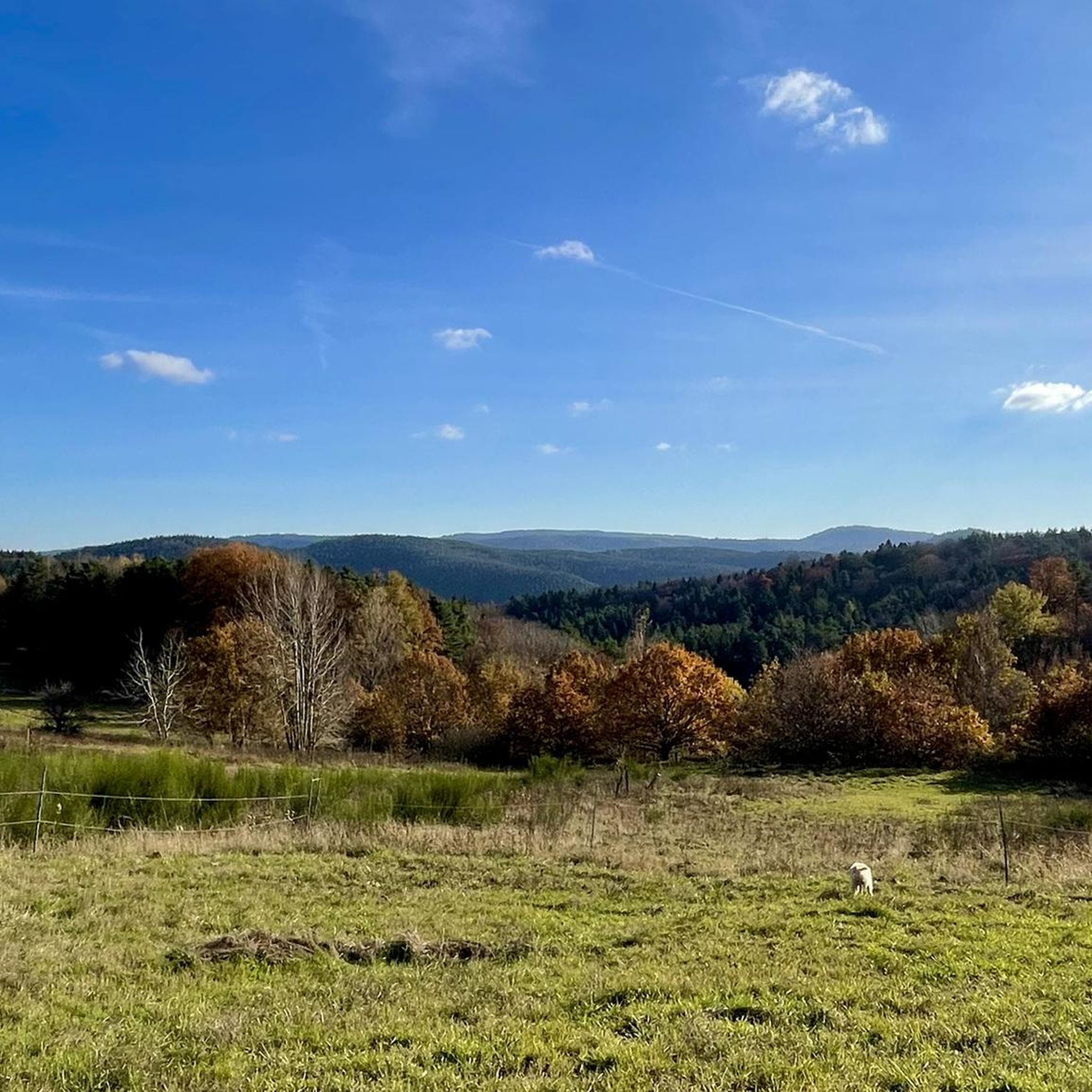
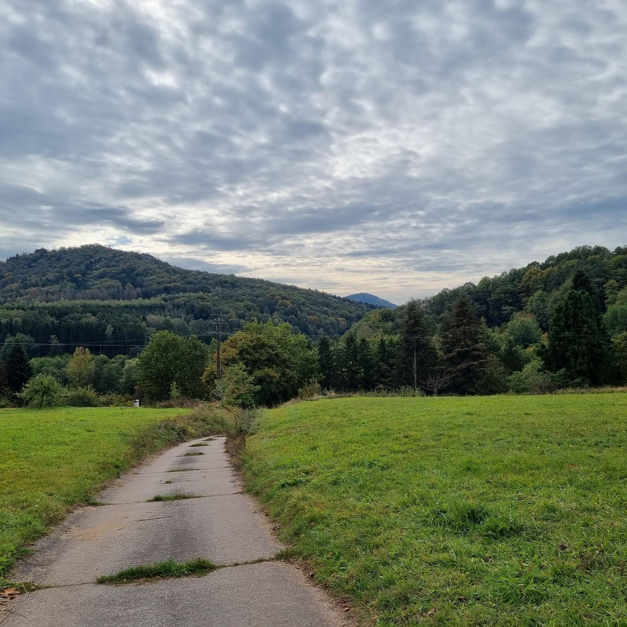
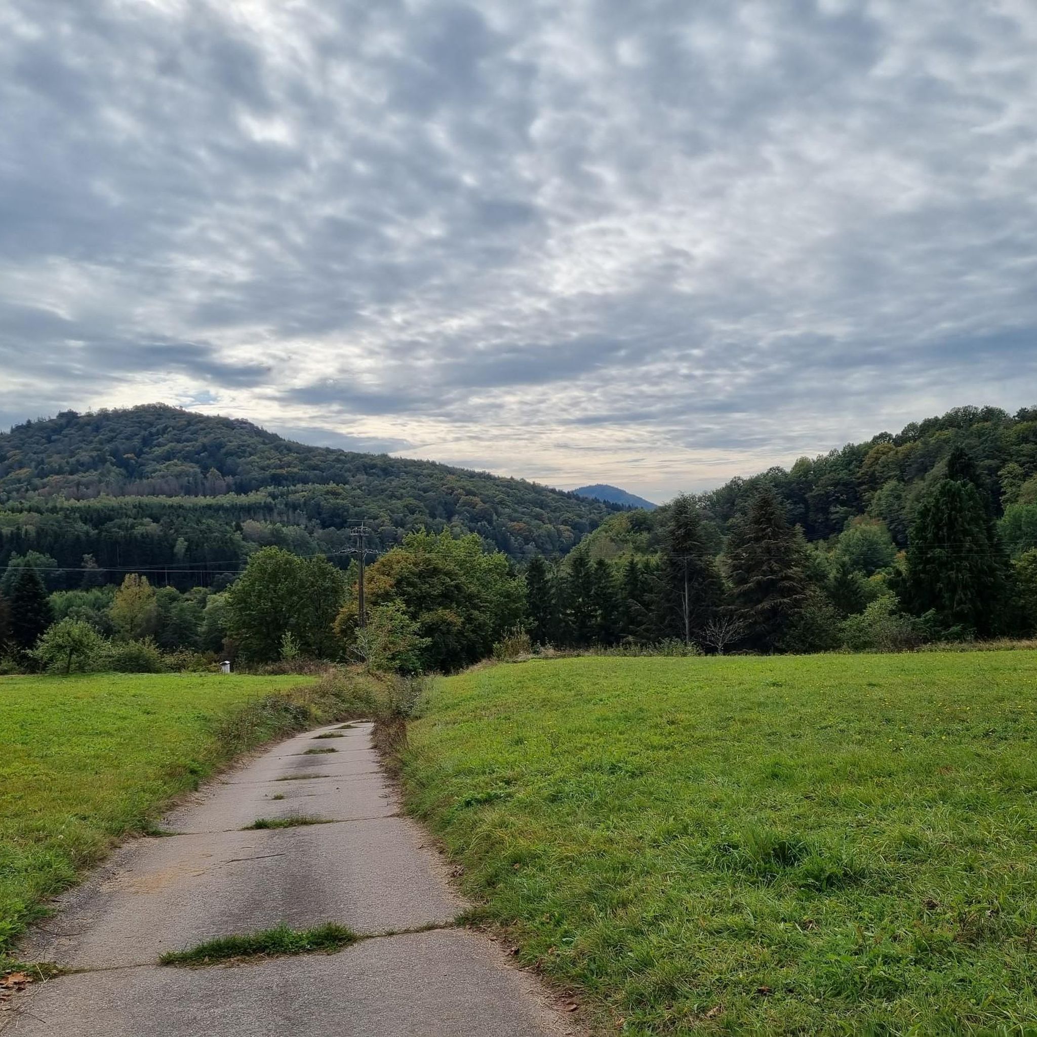
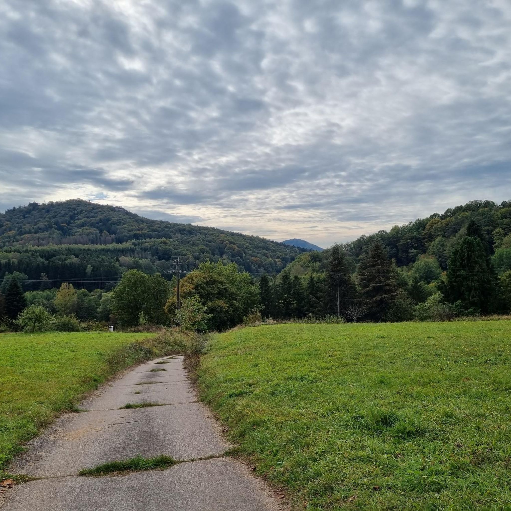
Jogging around Oberschlettenbach offers a diverse landscape for runners, characterized by its mix of woodlands, open meadows, and tranquil water features. The region features varied terrain, including gentle paths around ponds and more challenging routes with moderate elevation changes. These running paths provide opportunities to explore the natural environment of Oberschlettenbach.
Best jogging routes around Oberschlettenbach
- The most popular jogging route is Water Lily Pond loop from Busenberg, a 6.3 miles (10.2 km) trail that takes 1 hour 6…
Last updated: October 8, 2026
4.0
(1)
20
runners
Hard run. Very good fitness required. Sure-footedness, sturdy shoes and alpine experience required.
18
runners
10.2km
01:06
100m
100m
Moderate run. Good fitness required. Mostly paved surfaces. Suitable for all skill levels.

5.0
(1)
11
runners
6.61km
00:43
130m
130m
Moderate run. Good fitness required. Mostly paved surfaces. Suitable for all skill levels.
3
runners
9.26km
01:04
200m
200m
Moderate run. Good fitness required. Mostly paved surfaces. Suitable for all skill levels.
3
runners
11.6km
01:15
170m
170m
Moderate run. Good fitness required. Mostly paved surfaces. Suitable for all skill levels.
Get access to more routes and recommendations from other explorers.
Already have an account?
Our route recommendations are based on thousands of hikes, rides, and runs completed by other people on komoot.
Start today with a free account
Your next adventure awaits.
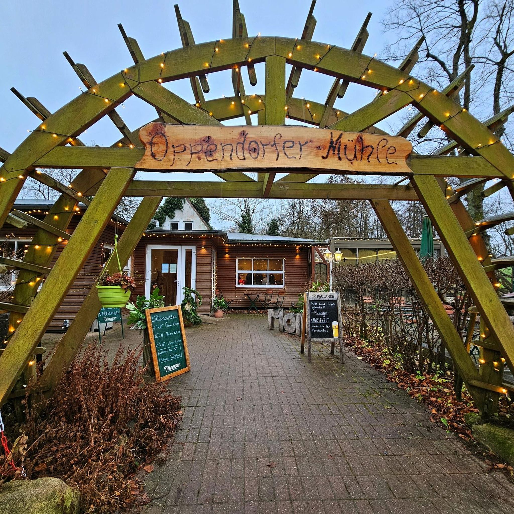
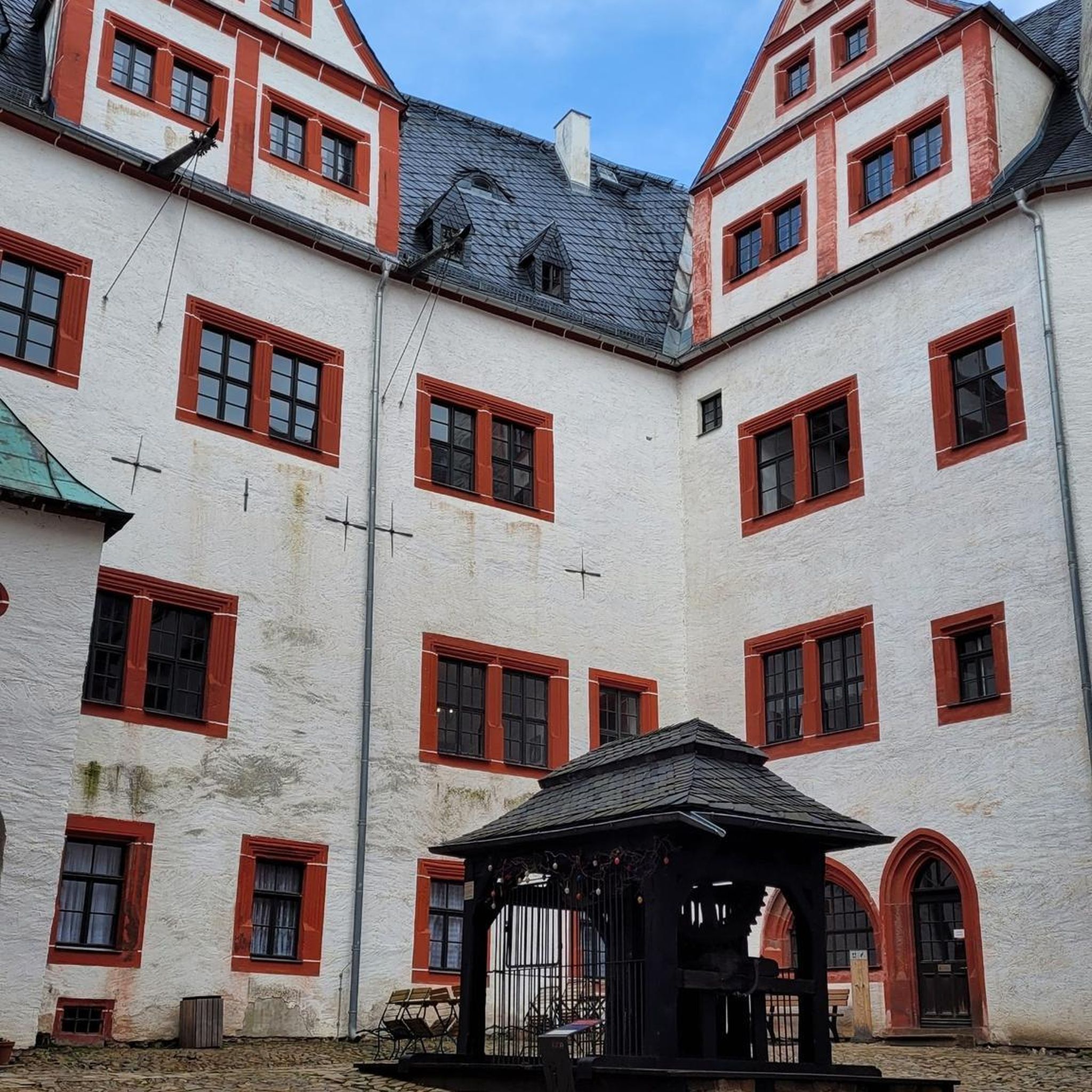
Tips from the Community

Very nice resting spot. Seems to be a spot for anglers. So behave.
0
0

Steadily ascending forest path to the Drachenfels castle ruins.
3
0
Picturesquely situated pond complex, which may not be entered, but a view of the water is possible.
6
0

The game vending machine is located at the Cramerhaus near Lindelbrunn and always has fresh produce.
4
0
Shortly before Bruchweiler you will come to the crossroads on the cycle path.
3
0

The tour is very beautiful, there should be a notice that the cycle path runs partly on forest paths (unpaved!)
0
0

Very beautiful natural path. You get directly to the Wasgauhütte.
0
0
Frequently Asked Questions
How many running routes are available around Oberschlettenbach?
There are over 300 running routes in the Oberschlettenbach area, offering a wide variety of options for different preferences and fitness levels.
Are there easy running paths suitable for beginners in Oberschlettenbach?
Yes, Oberschlettenbach offers several easy running paths. You'll find around 24 routes classified as easy, perfect for beginners or those looking for a relaxed jog through the natural landscape.
What kind of scenery can I expect on the jogging trails in Oberschlettenbach?
The jogging trails in Oberschlettenbach are known for their diverse scenery, including tranquil woodlands, open meadows, and serene pond-side paths. Many routes offer views of the region's unique rock formations and natural monuments, such as Swallows' Rock or the Rock Passage Near Büttelfelsen.
Are there circular running routes in the Oberschlettenbach area?
Yes, many of the running routes around Oberschlettenbach are circular, allowing you to start and finish at the same point. For example, the popular Water Lily Pond loop from Busenberg is a great option for a scenic round trip.
Can I bring my dog on the running trails in Oberschlettenbach?
Generally, dogs are welcome on most trails in the Oberschlettenbach region, especially in the forested and open areas. However, it's always advisable to keep your dog on a leash, particularly near wildlife or in more populated sections, and to check local regulations for specific routes or nature reserves.
Are there any family-friendly running routes in Oberschlettenbach?
Many of the easier and moderate routes are suitable for families, especially those with relatively flat terrain and scenic views. Look for paths that avoid steep climbs and are well-maintained, such as the trails around ponds or through open meadows.
What is the typical length of running routes in Oberschlettenbach?
The running routes in Oberschlettenbach vary significantly in length. You can find shorter jogs of around 4 miles (6.5 km), like the Darstein Trailhead loop from Darstein, up to longer, more challenging runs exceeding 12 miles (19 km), such as the Frauenwoog Pond – Bolzwiesen Lock loop from Vorderweidenthal.
What do other runners say about the trails in Oberschlettenbach?
The running routes in Oberschlettenbach are highly regarded by the komoot community, boasting an average rating of 4.5 stars from over 300 reviews. Runners frequently praise the diverse terrain, the peaceful atmosphere of the woodlands, and the well-maintained paths.
Are there any historical or natural landmarks to see while running in Oberschlettenbach?
Yes, the region is rich in natural and historical landmarks. Along your runs, you might encounter impressive rock formations like Bride and Groom Rock Formations, or even catch a glimpse of historic sites such as Trifels Castle in the distance. There are also several interesting caves and viewpoints, like the Viewing chamber on the Büttelfels.
Are there any running routes that pass by cafes or refreshment stops?
While specific routes are not designed around cafe stops, many trails pass through or near villages where you might find local eateries or bakeries. For example, routes starting from Busenberg or Vorderweidenthal offer opportunities to find refreshments before or after your run.
What is the best time of year for running in Oberschlettenbach?
Spring and autumn are generally considered the best seasons for running in Oberschlettenbach, offering pleasant temperatures and vibrant natural scenery. Summer mornings and evenings are also ideal to avoid the midday heat, while winter can be beautiful, but some trails might be slippery or require appropriate gear.
Are there routes with significant elevation changes for more challenging runs?
Absolutely. While there are easy routes, Oberschlettenbach also offers more challenging runs with moderate to difficult elevation changes. For instance, the Drachenfels Hut – Getrudiskapelle Busenberg loop from Busenberg includes over 200 meters of elevation gain, providing a good workout through forested areas.
Most popular routes around Oberschlettenbach
Most popular attractions around Oberschlettenbach

Get inspired with the komoot mobile app


Explore more
Browse the best Running Trails & Routes in other regions.
