The best walks and hikes around Douvrend
4.5
(129)
663
hikers
60
hikes
Hiking around Douvrend offers access to diverse landscapes within the Seine-Maritime department of France. The region features dramatic coastal cliffs, serene river valleys, and verdant countryside. Trails often traverse varied terrain, including forests and agricultural fields, providing a range of natural experiences. This area is characterized by its blend of coastal views and inland rural charm, with chalk hillsides and river meanders.
Best hiking trails around Douvrend
- The most popular hiking route is European beech - over 200 years old…
Last updated: May 13, 2026
10
hikers
Moderate hike. Good fitness required. Easily-accessible paths. Suitable for all skill levels.
7
hikers
8.57km
02:21
120m
120m
Moderate hike. Good fitness required. Easily-accessible paths. Suitable for all skill levels.

Sign up for free
5.0
(3)
6
hikers
11.8km
03:10
130m
130m
Moderate hike. Good fitness required. Easily-accessible paths. Suitable for all skill levels.
5.0
(1)
6
hikers
3.76km
01:00
40m
40m
Easy hike. Great for any fitness level. Easily-accessible paths. Suitable for all skill levels.
5.0
(1)
7
hikers
19.8km
05:13
170m
170m
Hard hike. Very good fitness required. Easily-accessible paths. Suitable for all skill levels.
Get access to more routes and recommendations from other explorers.
Sign up for free
Already have an account?
Our route recommendations are based on thousands of hikes, rides, and runs completed by other people on komoot.
Start today with a free account
Your next adventure awaits.
Login or Signup

Tips from the Community


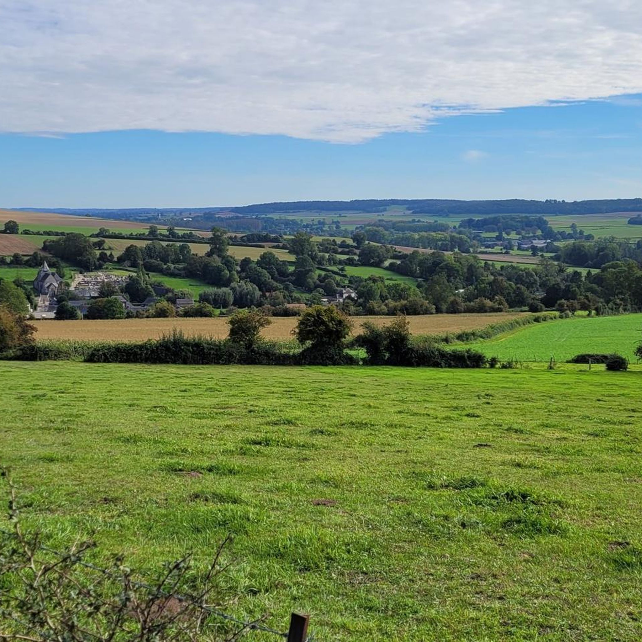
This path provides access to the Pimont Massif which separates Béthune and Varenne. Be careful, the slope is steep with 100m of elevation gain. You will have beautiful views of the Béthune valley before entering the woods which are part of the Eawy national forest.
1
0
At this point, you straddle the Béthune. This river has its source in the town of Gaillefontaine at an altitude of 205m. After a journey of 65 km, it joins the Varenne then the Eaulne at Arques-la-Bataille where their confluence creates the Arques.
1
0
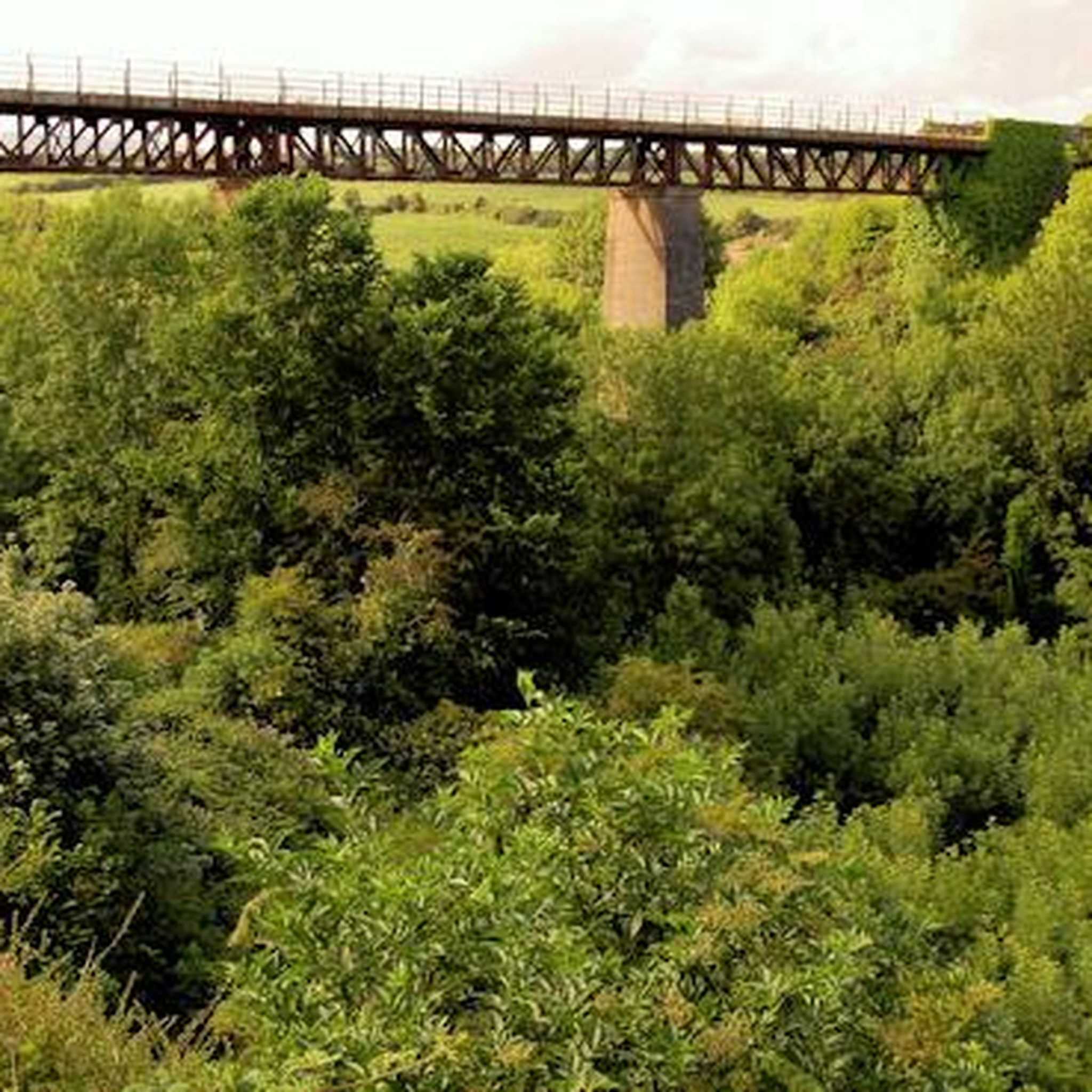
You walk on the green avenue. 40 km long, this route echoes a long Franco-British history. In 1873, a railway was built to provide access between London and Paris via the Dieppe - Newhaven shipping line. This connection is still relevant, no longer by train, but by bike!
1
0
At the entrance to Saint-Aubin-le-Cauf, along the greenway, you can access a picnic area with a shelter and an inflation station.
1
0
La Chatellenie, an 18th century castle, was built on the foundations of an 11th century feudal castle. In 1596, Henry IV, wounded at the Battle of Aumale, was treated by Claude Groulard to whom he donated the castle. The estate remained the property of this family for 250 years before changing owners several times. The estate now houses gîtes and guest rooms.
1
0
Frequently Asked Questions
How many hiking trails are available around Douvrend?
There are over 50 hiking routes around Douvrend, offering a variety of experiences. These trails explore the diverse landscapes of the Seine-Maritime department, from dramatic coastal cliffs to serene river valleys and verdant countryside.
What types of landscapes can I expect to see while hiking near Douvrend?
Hiking around Douvrend offers a rich tapestry of natural features. You can expect to encounter the dramatic white chalk Cliffs of Côte d'Albâtre with panoramic views of the English Channel, the gentle landscapes of the Seine Valley, and the characteristic flax fields of the Pays de Bray. Many trails also pass through forests and agricultural fields.
Are there any easy hiking trails suitable for beginners or a relaxed walk?
Yes, Douvrend offers a good selection of easier trails. Out of the over 50 routes, 16 are classified as easy. For example, a short 6.4 km loop around Saint-Ouen-sous-Bailly takes approximately 1 hour and 37 minutes, providing a gentle introduction to the area's beauty.
What do other hikers enjoy most about the trails in Douvrend?
The trails around Douvrend are highly rated by the komoot community, with an average score of 4.6 stars from over 100 reviews. Hikers often praise the varied terrain, the blend of coastal views and inland rural charm, and the well-maintained paths that allow for immersive exploration of the Seine-Maritime countryside.
Are there any circular hiking routes around Douvrend?
Yes, many of the trails around Douvrend are circular, allowing you to start and end at the same point. An example is the Blesdal loop from Saint-Nicolas-d'Aliermont, which is a moderate 8.6 km hike.
Are there any notable landmarks or attractions to see along the hiking trails?
While hiking near Douvrend, you can explore several interesting points. The Avenue Verte, a 60 km car-free route built on an old railway line, is easily accessible and offers glimpses into the region's past with restored gatekeepers' houses. Other nearby highlights include Saint-Martin-en-Campagne and the Avenue Verte: Neufchâtel-en-Bray to Dieppe Cycle Path.
What is the best time of year to go hiking in Douvrend?
The region's diverse landscapes, from coastal cliffs to river valleys, make it suitable for hiking across multiple seasons. Spring and autumn offer pleasant temperatures and vibrant scenery, while summer provides longer daylight hours for extended exploration. Even in winter, trails can be accessible, though conditions may vary.
Are there any longer or more challenging hikes available for experienced hikers?
Yes, for more ambitious hikers, there are challenging routes. For instance, the View of the Torcy Valley loop from Dampierre-Saint-Nicolas is a difficult 20.4 km trail with significant elevation changes, typically taking over 5 hours to complete.
Can I find trails that follow rivers or offer water views?
Absolutely. The region features serene river valleys, and some trails incorporate these natural elements. The Béthune River – Massif de Pimont Trail loop from Dampierre-Saint-Nicolas is a great example, leading through river paths and forest sections.
Is public transport available to access hiking trailheads around Douvrend?
While specific public transport details for every trailhead are not available, the Seine-Maritime region generally emphasizes accessibility to its outdoor areas. For detailed information on reaching specific starting points, it's advisable to check local transport schedules or consider car access for greater flexibility.
Are there any trails that pass through ancient forests or unique natural areas?
Yes, you can discover unique natural areas. The European beech - over 200 years old – Sea of ferns loop from Saint-Nicolas-d'Aliermont is a moderate 12.9 km path that winds through ancient beech forests and distinctive fern landscapes, offering a truly immersive experience.
Most popular attractions around Douvrend

Get inspired with the komoot mobile app


Explore more
Browse the best Hikes in other regions.
