The best mountain hikes around Gossersweiler-Stein
4.8
(17)
59
hikers
5
hikes
Mountaineering around Gossersweiler-Stein is characterized by its diverse landscape, featuring sandstone rock formations, dense forests, and varied elevation changes within the Palatinate Forest. The region offers a mix of challenging ascents and moderate paths through woodlands. These routes often lead to prominent viewpoints and unique geological features.
Best mountaineering routes around Gossersweiler-Stein
- The most popular mountaineering route is Bishop’s Cross on Teufelsberg – Dreimärker Stone loop from Albersweiler (Pfalz), a 13.7 miles (22.1 km) trail that takes 6 hours…
Last updated: August 25, 2026
4.0
(4)
8
hikers
Hard mountaineering route. Very good fitness required. Mostly accessible paths. Sure-footedness required.
4.8
(5)
11
hikers
12.7km
03:38
300m
300m
Moderate mountaineering route. Good fitness required. Easily-accessible paths. Suitable for all skill levels.

Sign up for free
4
hikers
6.49km
02:11
250m
250m
Moderate mountaineering route. Good fitness required. Mostly accessible paths. Sure-footedness required.
5.0
(1)
11
hikers
9.81km
03:27
370m
370m
Moderate mountaineering route. Good fitness required. Mostly accessible paths. Sure-footedness required.
5.0
(3)
6
hikers
7.80km
02:23
210m
210m
Moderate mountaineering route. Good fitness required. Mostly accessible paths. Sure-footedness required.
Our route recommendations are based on thousands of hikes, rides, and runs completed by other people on komoot.
Start today with a free account
Your next adventure awaits.
Login or Signup
Tips from the Community

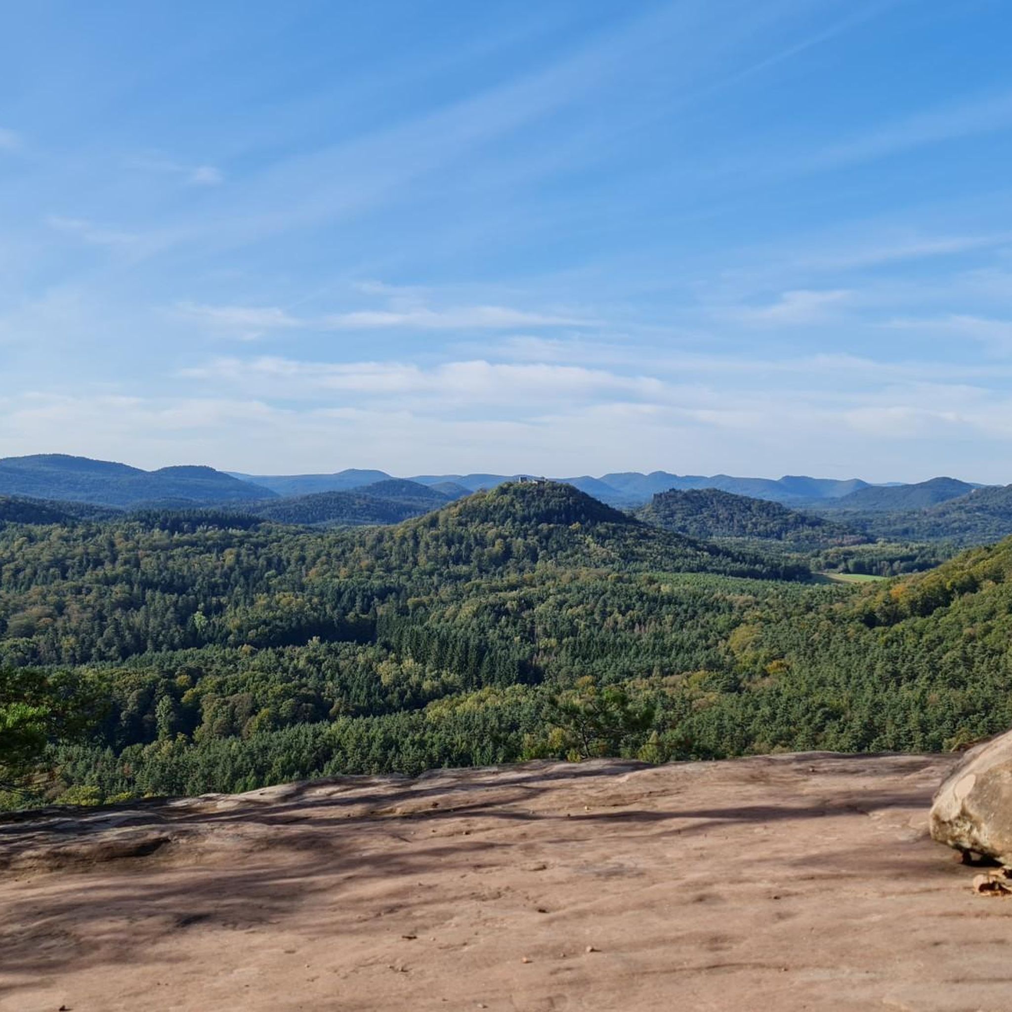
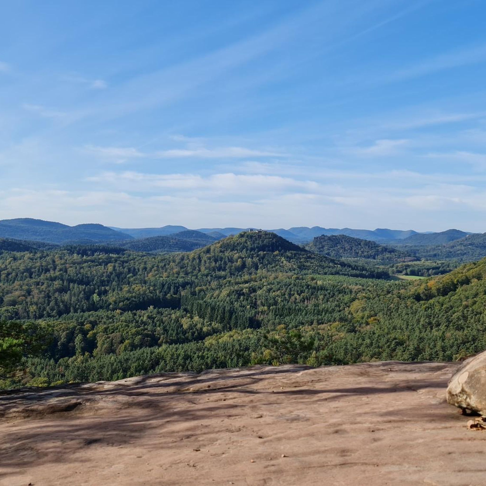
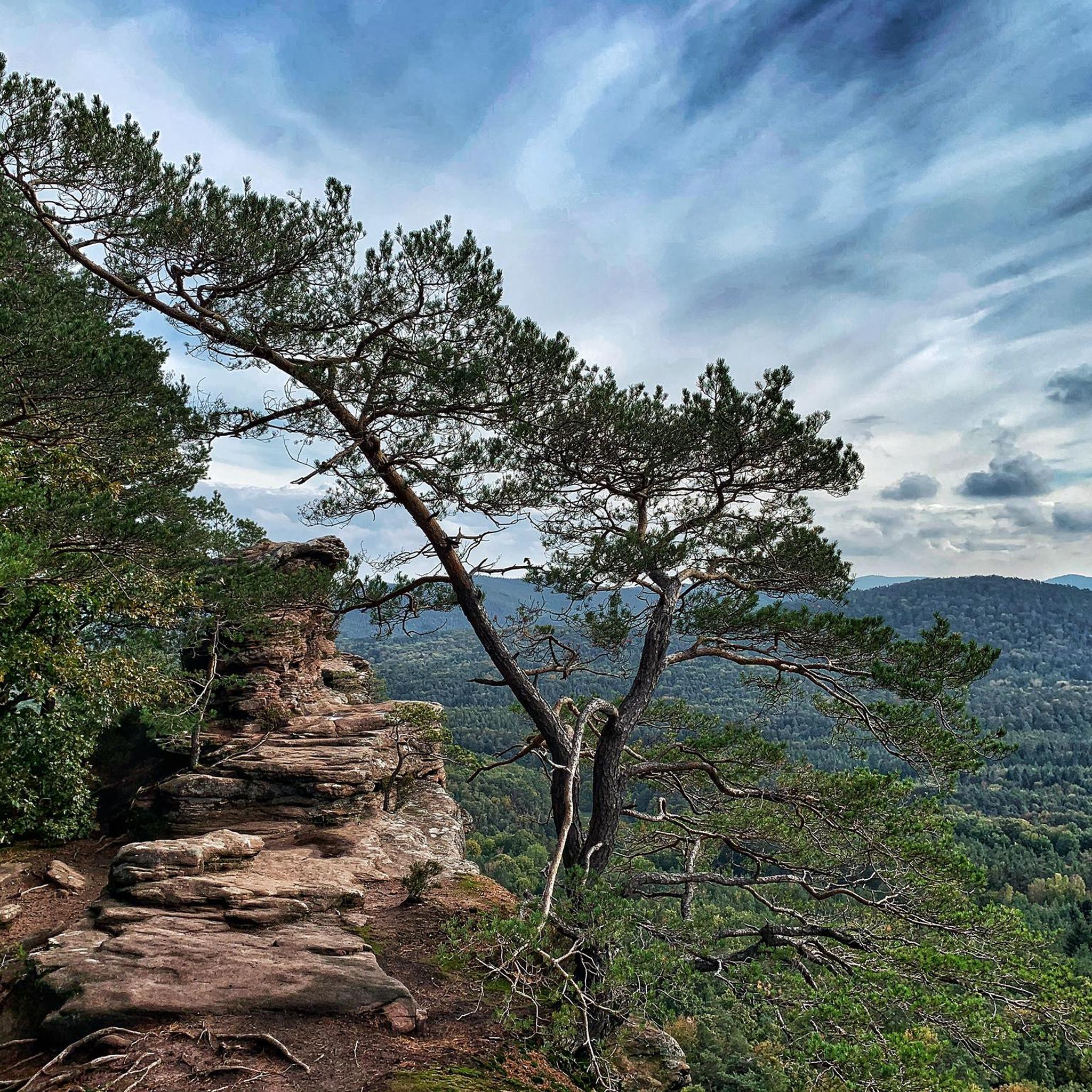
In neat rows on every mountain ridge stand the glowing red sandstone rocks in the Dahn Felsenland. Most can be easily hiked and some even climbed, and are great viewpoints.
3
0

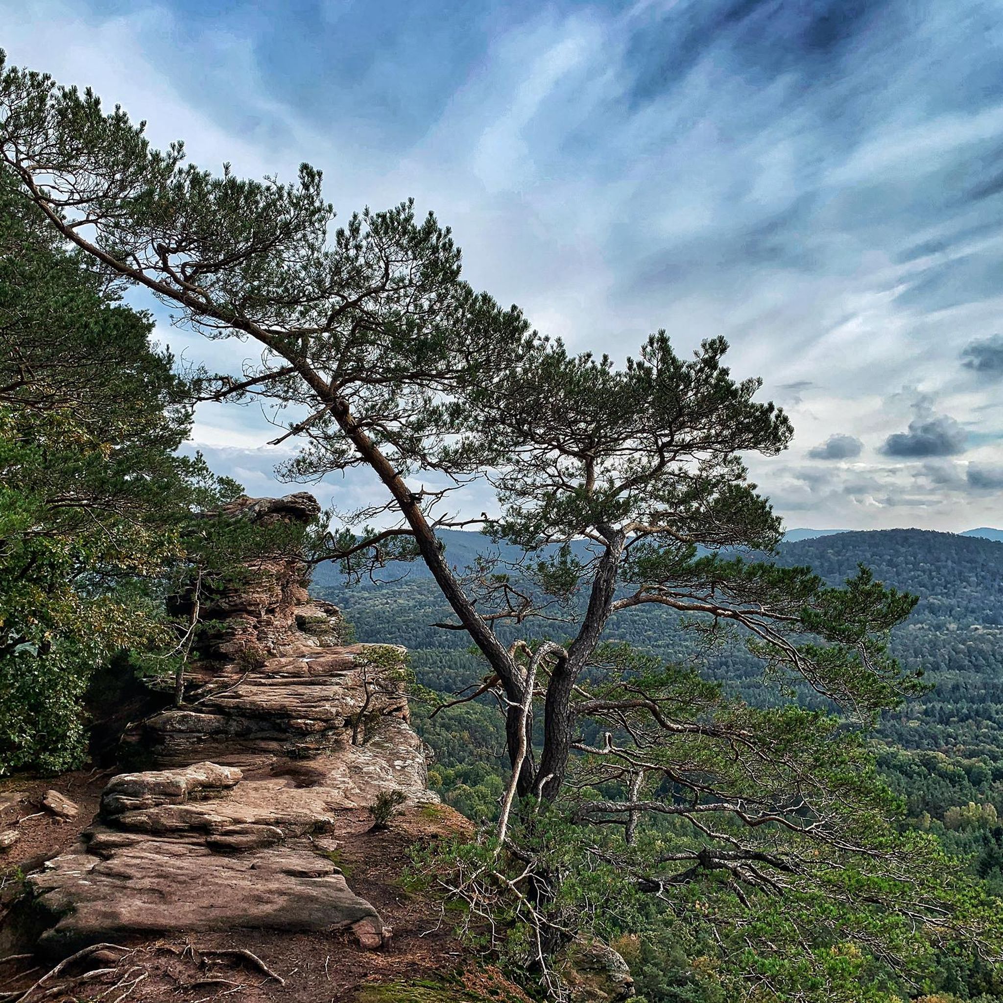
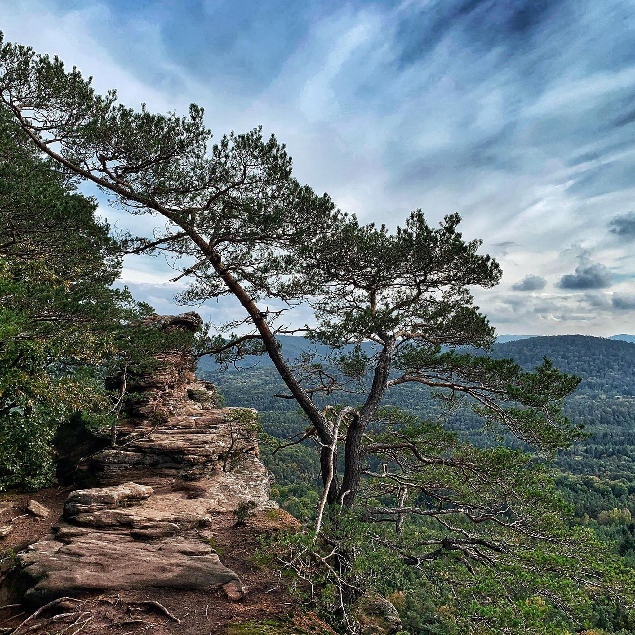
The silhouette suggests a monster or a hissing dragon.
0
0


Locals often refer to it as the "Wetterkreuz" instead of the Bischofskreuz. The last approx. 100 m to the summit can be managed with a mountain bike, but older bikers should partially push their bikes due to numerous tree roots and stones.
0
0

Impressive rock formations can be seen time and again along the circular route through the Dahner Felsenland (Dahn Rock Country).
1
0

And we owe it to the formation of the Alps... they press down on the Earth's crust, which couldn't withstand the pressure... and broke apart and was pushed upwards.
7
0

You can see it from the reddish sheaf: these rocks consist, among other things, of Dandstein, a legacy of the Ice Age.
5
0

"The weather cross, consecrated in 1909 by Bishop Konrad von Busch (1847-1910) of Speyer, was created by stonemason Johann Minges and is the highest weather cross on the Haardt mountain range. Locally, it is also known as the Bishop's Cross." Source (quoted verbatim): https://www.kuladig.de/Objektansicht/KLD-272330 The following text (difficult to read) is inscribed on the base of the cross: "Behold the Cross of the Lord! // Flee, you hostile forces! // The Lion of Judah. // The Root of David has triumphed! // Alleluia, Alleluia! // (St. Anthony of Padua)" A vineyard (large vineyard area) in the Southern Palatinate is also called "Bischofskreuz" (Bishop's Cross).
3
0
Frequently Asked Questions
How many mountaineering routes can I explore around Gossersweiler-Stein?
There are 5 distinct mountaineering routes available around Gossersweiler-Stein, offering a range of experiences through the Palatinate Forest.
What is the best time of year for mountaineering in Gossersweiler-Stein?
The Palatinate Forest region generally offers good conditions for mountaineering from spring through autumn. Spring brings blooming nature, while autumn provides vibrant foliage. Summer is also suitable, though it can be warmer. Winter mountaineering is possible but requires appropriate gear and caution due to potentially icy or snowy conditions, especially on higher elevations or shaded paths.
Are there any challenging mountaineering routes in Gossersweiler-Stein?
Yes, for those seeking a challenge, the Bishop’s Cross on Teufelsberg – Dreimärker Stone loop from Albersweiler (Pfalz) is classified as difficult. This route spans 22.1 km and features a significant elevation gain of over 795 meters, making it a demanding full-day adventure.
Are there any family-friendly mountaineering options in the area?
While all routes are classified as moderate to difficult, the Hoher Kopf Rock Formation – Dimbach Oak Spot loop from Dimbach is the shortest at 6.5 km and takes approximately 2 hours 10 minutes. It leads through dense woodlands and past notable rock formations, which might be more manageable for families with older children or those accustomed to hiking.
What kind of natural landmarks or viewpoints can I expect to see on these routes?
The routes often lead to impressive sandstone rock formations and offer scenic viewpoints. For example, the Railway Cliff – Napoleon Rock loop from Bruchweiler-Bärenbach traverses striking rock formations. You can also find highlights like the Swallows' Rock or the Bride and Groom Rock Formations in the wider region, which are popular points of interest.
Are there any circular mountaineering routes available?
Yes, all the featured mountaineering routes around Gossersweiler-Stein are circular. This includes the Railway Cliff – Napoleon Rock loop from Bruchweiler-Bärenbach and the Am Horn Rock Formation – Keeshäwel Rock Formation loop from Dimbach, allowing you to start and end at the same point.
What do other mountaineers say about the routes in Gossersweiler-Stein?
The mountaineering routes in Gossersweiler-Stein are highly regarded by the komoot community, boasting an average rating of 4.8 out of 5 stars from over 10 reviews. Users frequently praise the diverse landscape, including the unique sandstone formations and the peaceful forest paths.
Are there any historical sites or castles near the mountaineering trails?
Yes, the region is rich in historical sites. While on your mountaineering adventure, you might consider visiting nearby castles such as Trifels Castle or Landeck Castle. These historical landmarks offer a glimpse into the region's past and are often accessible from various points in the Palatinate Forest.
Where can I find parking for these mountaineering routes?
Specific parking information varies by trailhead. Generally, you can find designated parking areas at the starting points of many routes, such as near Albersweiler, Bruchweiler-Bärenbach, or Dimbach. It's advisable to check the individual route details on komoot for precise parking locations before your trip.
What should I wear for mountaineering in Gossersweiler-Stein?
Given the varied terrain and potential elevation changes, it's recommended to wear sturdy hiking boots with good ankle support. Layered clothing is ideal to adapt to changing weather conditions, and waterproof outerwear is advisable, especially during spring and autumn. Don't forget sun protection and sufficient water.
Are there any less crowded mountaineering routes for a more peaceful experience?
While all routes offer a connection with nature, for a potentially quieter experience, consider exploring routes that are slightly off the main tourist paths or visiting during weekdays. The Wachtfelsen Viewpoint – Lochfelsen loop from Dahn Süd, for instance, offers beautiful scenery and might be less frequented than some of the more popular starting points.
Most popular routes around Gossersweiler-Stein
Most popular attractions around Gossersweiler-Stein

Get inspired with the komoot mobile app


Explore more
Browse the best Mountain Hikes & Routes in other regions.
