The best mountain hikes around Freimersheim (Pfalz)
4.8
(4)
19
hikers
3
hikes
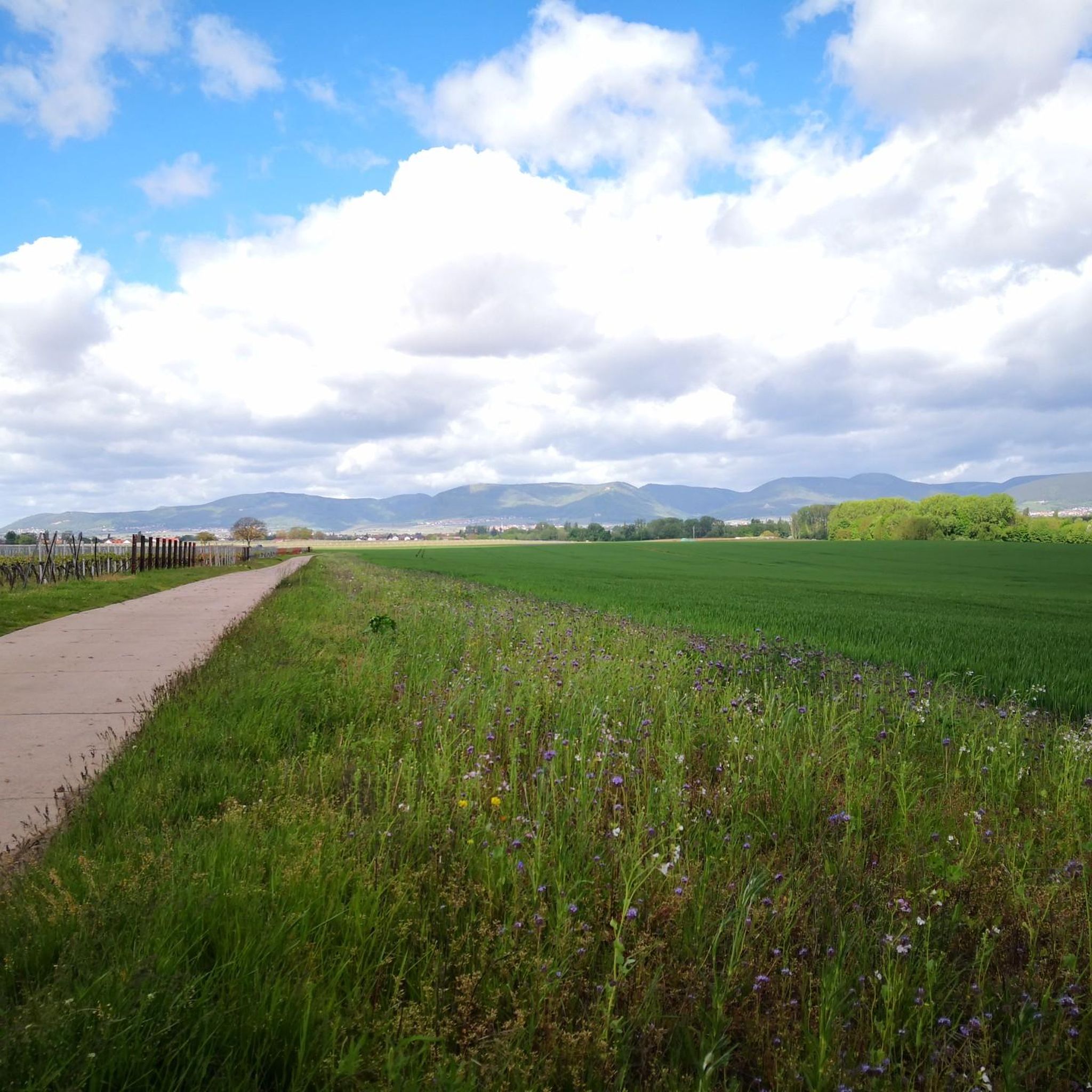
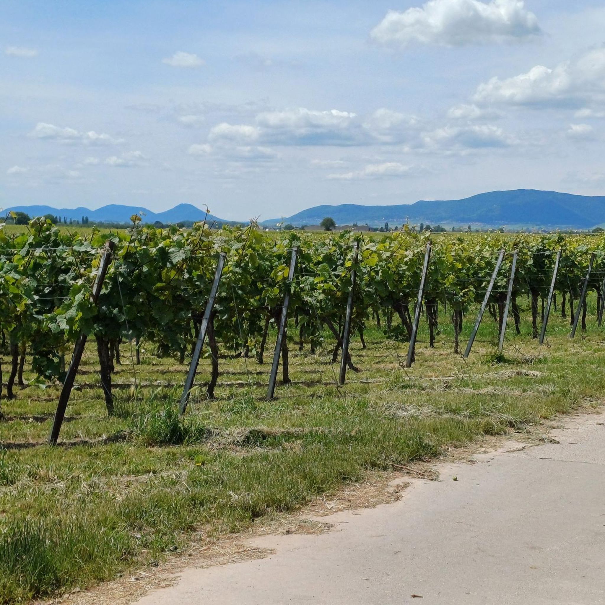
Mountaineering around Freimersheim (Pfalz) offers routes through the scenic Palatinate Forest, characterized by rolling hills, dense woodlands, and vineyard-dotted slopes. The region features varied terrain, including moderate ascents to prominent summits and paths winding through historical villages. Elevations typically range from gentle inclines to more challenging climbs, providing diverse experiences for mountaineers.
Best mountaineering routes around Freimersheim (Pfalz)
- The most popular mountaineering route is St. Martin Church – Weinstube Altes Rathaus loop from Sankt Martin, a 6.4 miles (10.3…
Last updated: July 1, 2026
3
hikers
10.4km
03:25
450m
450m
Moderate mountaineering route. Good fitness required. Mostly accessible paths. Sure-footedness required.
4.7
(3)
2
hikers
11.8km
03:39
430m
440m
Moderate mountaineering route. Good fitness required. Easily-accessible paths. Suitable for all skill levels.

Sign up for free
4
hikers
12.0km
03:33
340m
340m
Moderate mountaineering route. Good fitness required. Mostly accessible paths. Sure-footedness required.
5.0
(1)
3
hikers
16.8km
05:06
550m
540m
Hard mountaineering route. Very good fitness required. Easily-accessible paths. Suitable for all skill levels.
2
hikers
8.08km
02:36
350m
350m
Moderate mountaineering route. Good fitness required. Easily-accessible paths. Suitable for all skill levels.
Our route recommendations are based on thousands of hikes, rides, and runs completed by other people on komoot.
Start today with a free account
Your next adventure awaits.
Login or Signup
Tips from the Community

A very beautiful path leads past the stone pyramid, which marks the highest point of the Blätterberg. But there are other markings here too. Ancient boundary stones and rocks with boundary marks can be found on the path. The cross stands for the Hochstift Speyer.
1
0

After a long climb to the Kalmit, you will be rewarded with a fantastic view
5
0

The view of the Rhine Valley is fantastic. You can see the Odenwald and the Black Forest from here.
1
0

is located on the Höhenstrasse to Triefels Castle
0
1

The Kalmit is located near Maikammer in the Southern Wine Route district of Rhineland-Palatinate. At 673.64 meters above sea level, it is the highest mountain in the Palatinate Forest. From up here, you have breathtaking views of the Rhine plain, the Odenwald forest, and even the Black Forest. Simply amazing 🤩👌🏼. There's also a rest hut up here where you can enjoy delicious food 😋👍🏼.
4
0

very good food, nice host.
0
0

At the parking lot in front of the Kalmithaus, the slippery road ends: the asphalt simply ends, as if someone had said, "Okay, adventure begins here!" From there, things get really tricky for road bikes – rough gravel, small stones, and the constant fear of getting a flat tire. You briefly consider whether you love your bike... or just ride over it. But honestly: The last stretch is still worth it. It's short, nasty – and at the top, the reward is complete. A view to fall in love with, a clear view all the way to the Odenwald (if the mist is kind), a cool drink from the hut, and that muscle cramp you trust. Perfect. If you've made it this far, you'll still make it all the way to the top. And afterward: roll down the gravel, let off some air (from your lungs, not the tires), and proudly say, "Kalmit? Sure – I made it."
1
0

Frequently Asked Questions
How many mountaineering routes are available around Freimersheim (Pfalz)?
There are several mountaineering routes around Freimersheim (Pfalz), with komoot featuring 4 distinct tours. These routes offer a variety of experiences through the Palatinate Forest, catering to different preferences.
Are there any easy mountaineering routes for beginners in Freimersheim (Pfalz)?
While all listed routes are rated as moderate or difficult, the region's terrain generally offers paths suitable for those with some hiking experience. For a good introduction to the area's moderate climbs, consider the St. Martin Church – Weinstube Altes Rathaus loop from Sankt Martin, which is a 10.3 km route with manageable elevation changes.
What are the best seasons for mountaineering in the Freimersheim (Pfalz) region?
The Palatinate Forest is beautiful year-round. Spring offers blooming vineyards and fresh greenery, while autumn provides stunning fall foliage. Summer is ideal for longer days, and even mild winter days can be pleasant, though some paths might be slippery or require appropriate gear.
Are there any circular mountaineering routes available?
Yes, many of the routes around Freimersheim (Pfalz) are designed as circular loops, allowing you to start and end at the same point. An example is the Hohe Loog House – Hohe Loog Summit (619 m) loop from Maikammer, which offers panoramic views and returns to its starting point.
Are the mountaineering routes around Freimersheim (Pfalz) suitable for families?
The moderate difficulty of most routes means they can be suitable for families with older children who are accustomed to hiking. For a scenic and manageable option, the Sandwiesen Pond – House at the Firs loop from Sankt Martin is a good choice, offering diverse scenery over 12 km.
Can I bring my dog on the mountaineering trails in this region?
Generally, dogs are welcome on trails in the Palatinate Forest, provided they are kept on a leash, especially in nature reserves or near wildlife. Always ensure your dog is well-behaved and that you clean up after them. It's advisable to check local regulations for specific areas.
Are there any viewpoints or scenic spots along the mountaineering routes?
Absolutely. The Palatinate Forest is known for its picturesque views. Routes like the Hohe Loog House – Hohe Loog Summit (619 m) loop from Maikammer lead to prominent summits offering expansive vistas over the forested hills and vineyards. You can also find historical landmarks and charming villages along the way.
What kind of attractions can I find near the mountaineering routes?
Beyond the natural beauty, you can discover various attractions. There are several huts and cabins like the Klausental Hut (PWV Diedesfeld) or the "Schweizerhaus" (hut of the PWV Weyher), perfect for a break. You might also encounter historical sites such as the Edenkoben Victory and Peace Monument, or serene spots like the Soldiers' Pond.
Are there mountaineering routes that pass by traditional pubs or restaurants?
Yes, the Palatinate region is famous for its wine and hospitality. Many routes, especially those passing through or near villages, offer opportunities to stop at traditional 'Weinstuben' (wine taverns) or restaurants. For instance, the St. Martin Church – Weinstube Altes Rathaus loop from Hambacher Schloss is a longer route that includes historical sites and potential refreshment stops.
What do other mountaineers say about the routes in Freimersheim (Pfalz)?
The mountaineering routes around Freimersheim (Pfalz) are highly regarded by the komoot community, holding an average rating of 5.0 stars from over 3 reviews. Users often praise the well-maintained paths, the diverse scenery, and the rewarding views from the summits.
Is public transport available to access mountaineering trails near Freimersheim (Pfalz)?
While Freimersheim itself has a train station, access to specific trailheads often requires a combination of public transport and a short walk, or a local bus connection. It's best to check regional bus schedules for routes connecting to smaller villages near the trail starting points, such as Maikammer or Sankt Martin.
Where can I find parking for mountaineering routes in the area?
Most trailheads in and around villages like Sankt Martin, Maikammer, or Rhodt unter Rietburg offer designated parking areas for hikers. It's advisable to arrive early, especially on weekends, as spots can fill up quickly. Always look for official parking signs to avoid issues.
Are there any more challenging mountaineering routes for experienced hikers?
For those seeking a more demanding experience, the St. Martin Church – Weinstube Altes Rathaus loop from Hambacher Schloss is a longer and more challenging option. This 17.4 km route features significant elevation changes and takes approximately 5 hours to complete, offering a thorough exploration of the region's varied terrain.
Most popular routes around Freimersheim (Pfalz)
Most popular attractions around Freimersheim (Pfalz)

Get inspired with the komoot mobile app


Explore more
Browse the best Mountain Hikes & Routes in other regions.
