The best walks and hikes around Saint-Didier-D'Allier
4.6
(329)
2,305
hikers
84
hikes
Hiking around Saint-Didier-D'Allier offers access to the dramatic and varied landscapes of the Haute-Loire department. The region is characterized by the Allier Gorges, featuring basalt cliffs and the Allier valley. Trails often include elevation changes, providing views of the Rouchoux Gorges and surrounding natural features.
Best hiking trails around Saint-Didier-D'Allier
- The most popular hiking route is Les aiguilles et la Chapelle St-Etienne – loop starting from Monistrol-d'Allier, a 5.6 miles (9.0 km) trail that takes 2 hours 43 minutes…
Last updated: June 30, 2026
5.0
(7)
45
hikers
Moderate hike. Good fitness required. Easily-accessible paths. Suitable for all skill levels.
4.3
(4)
57
hikers
16.8km
05:05
530m
530m
Hard hike. Very good fitness required. Mostly accessible paths. Sure-footedness required.

Sign up for free
4.7
(11)
84
hikers
Hard hike. Very good fitness required. Easily-accessible paths. Suitable for all skill levels.
5.0
(4)
24
hikers
Moderate hike. Good fitness required. Easily-accessible paths. Suitable for all skill levels.
4.4
(5)
10
hikers
13.9km
03:55
280m
290m
Moderate hike. Good fitness required. Easily-accessible paths. Suitable for all skill levels.
Get access to more routes and recommendations from other explorers.
Sign up for free
Already have an account?
Our route recommendations are based on thousands of hikes, rides, and runs completed by other people on komoot.
Start today with a free account
Your next adventure awaits.
Login or Signup
Tips from the Community

On our Camino / GR65 path: https://youtu.be/xZkbnoCtUzE
0
0
On our Camino / GR65 path: https://youtu.be/xZkbnoCtUzE
0
0
On our Camino / GR65 path: https://youtu.be/xZkbnoCtUzE
0
0
On our Camino / GR65 path: https://youtu.be/xZkbnoCtUzE
0
0
On our Camino / GR65 path: https://youtu.be/xZkbnoCtUzE
0
0
On our Camino / GR65 path: https://youtu.be/xZkbnoCtUzE
0
0
On our Camino / GR65 path: https://youtu.be/xZkbnoCtUzE
0
0

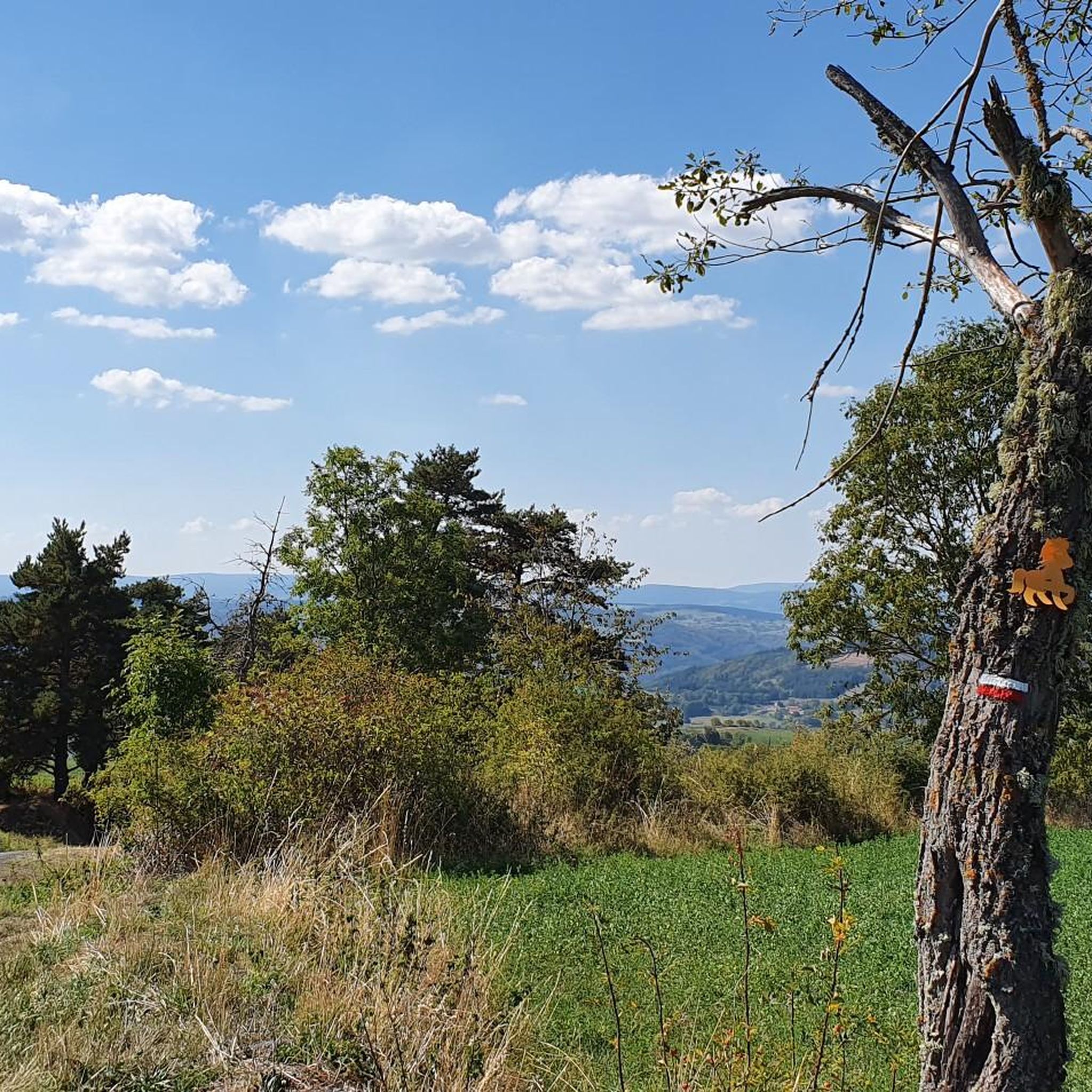
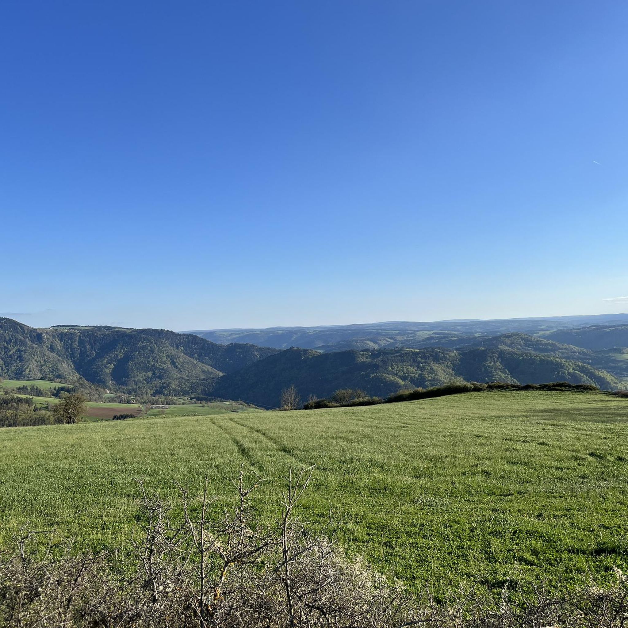
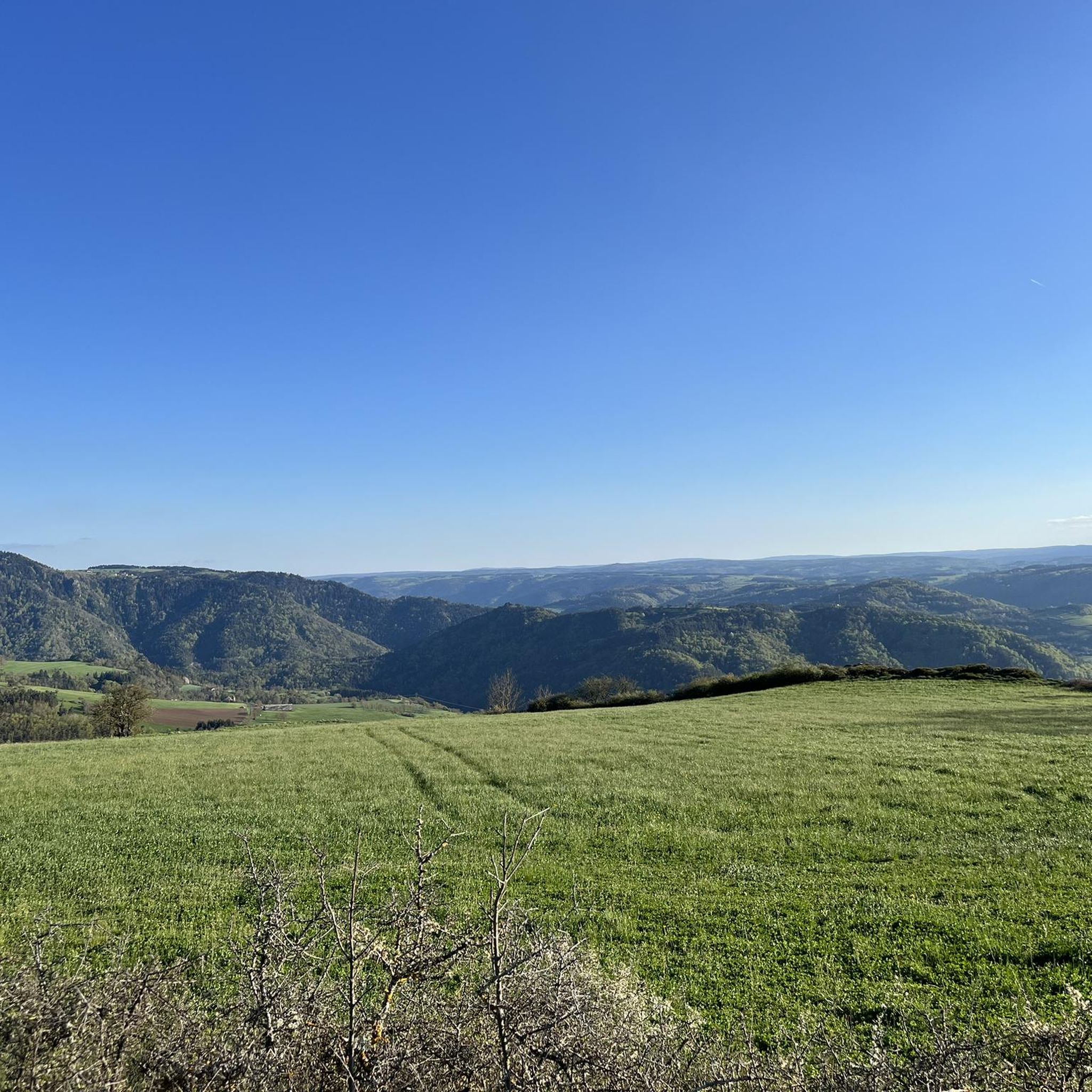
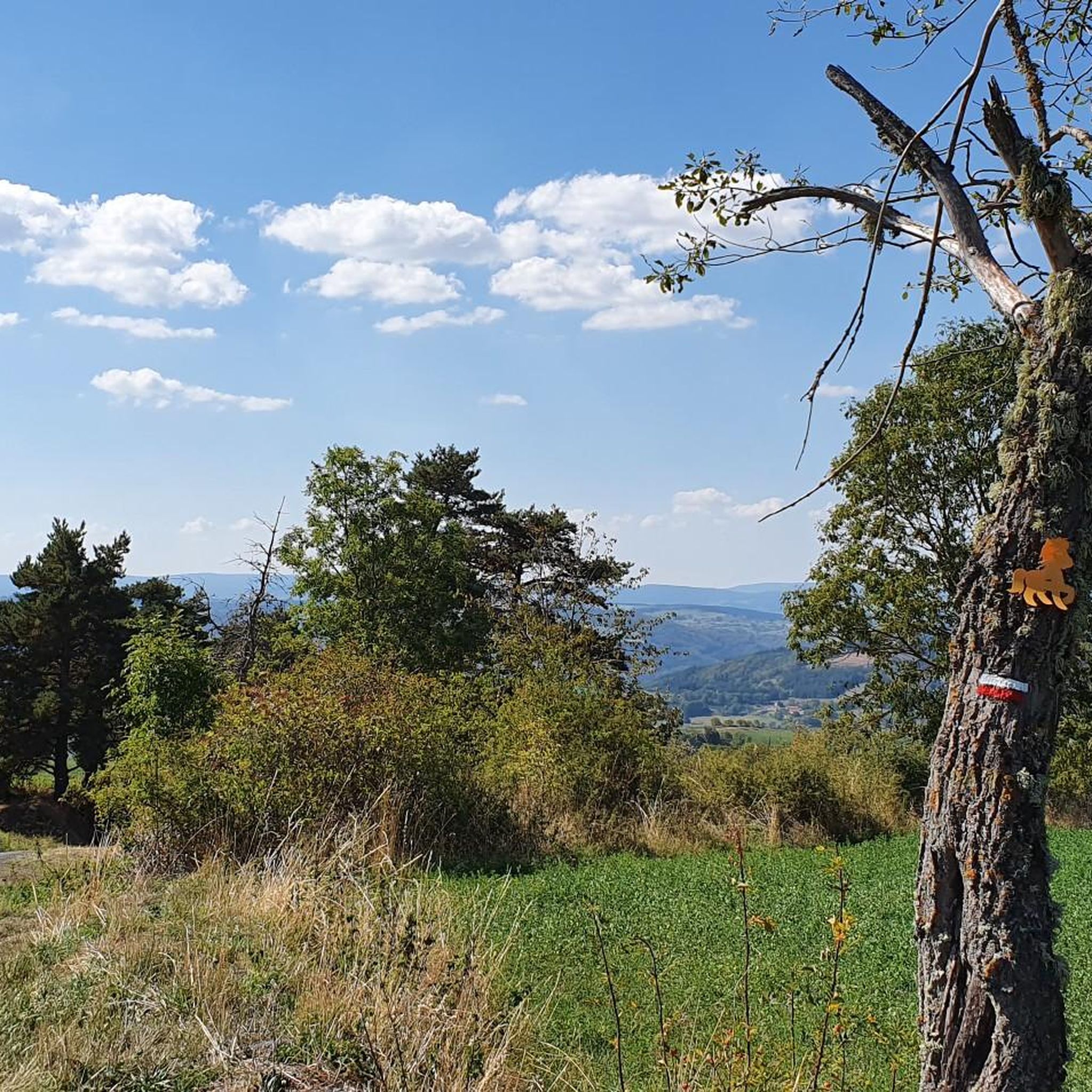
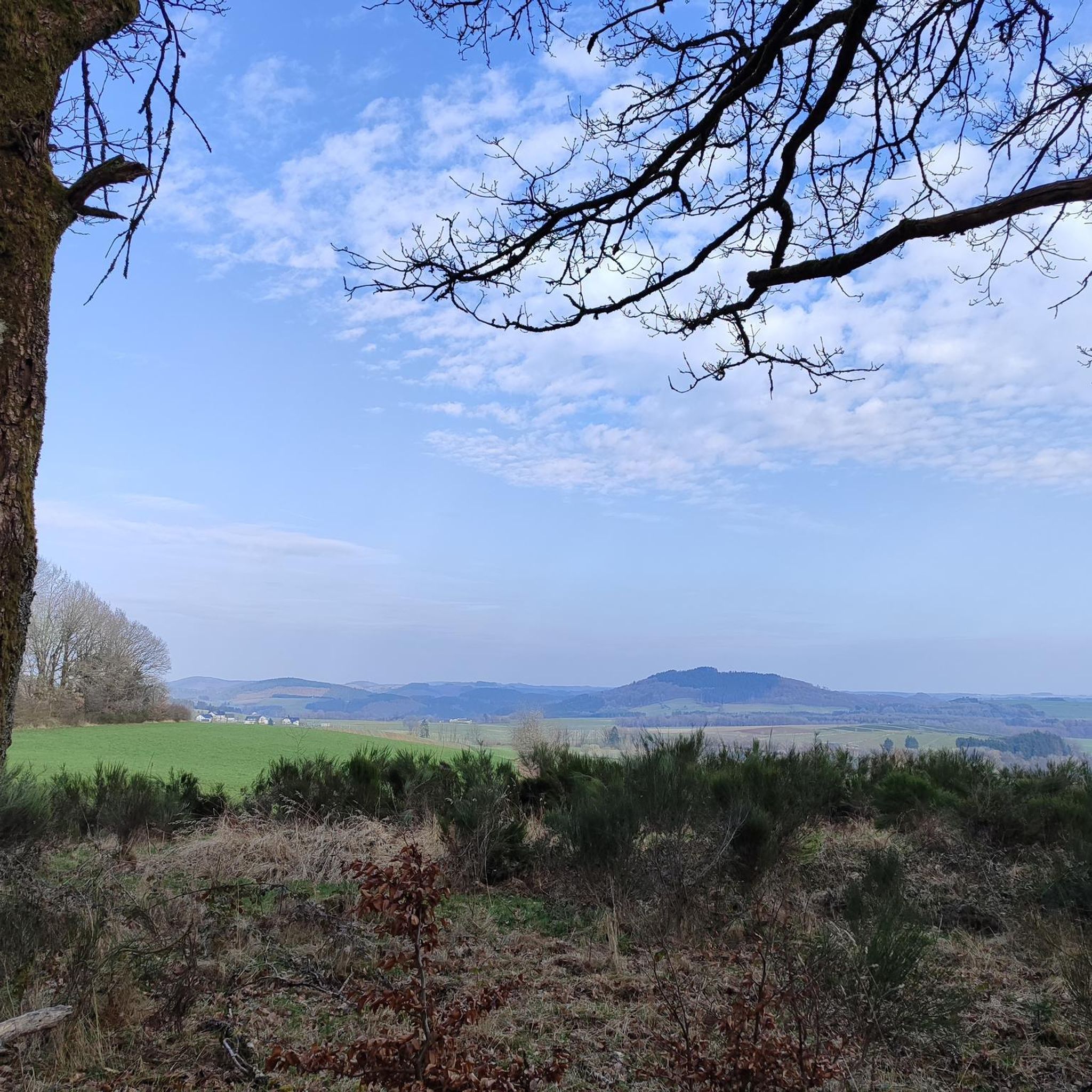
For the view from the summit
0
0
Frequently Asked Questions
How many hiking trails are available around Saint-Didier-D'Allier?
There are over 75 hiking routes around Saint-Didier-D'Allier, offering a wide range of options for different skill levels. These include 25 easy, 37 moderate, and 16 difficult trails.
What kind of landscapes can I expect to see while hiking in this region?
The region around Saint-Didier-D'Allier is characterized by the dramatic Allier Gorges, featuring impressive basalt cliffs and the picturesque Allier valley. You'll also find views of the Rouchoux Gorges and the historic Château de Saint-Didier-d'Allier.
Are there any circular walks available?
Yes, many of the trails around Saint-Didier-D'Allier are circular. For example, the moderate route Les aiguilles et la Chapelle St-Etienne – loop starting from Monistrol-d'Allier is a 9 km loop, and the more challenging Way of St. James: Saint-Privat and Monistrol-d'Allier Loop is a 16.8 km circular path.
What do other hikers enjoy most about hiking in Saint-Didier-D'Allier?
The area is highly rated by the komoot community, with an average score of 4.5 stars from over 390 reviews. Hikers often praise the varied terrain, the stunning views of the Allier Gorges, and the well-maintained paths that cater to different fitness levels.
Are there any family-friendly hiking options?
While many trails involve elevation changes, there are easier routes suitable for families. Look for trails marked as 'easy' or 'moderate' with shorter distances. Always check the route details for elevation gain and terrain to ensure it's appropriate for your family's abilities.
What is the best time of year to go hiking in Saint-Didier-D'Allier?
The spring and autumn months generally offer the most pleasant hiking conditions with mild temperatures and beautiful scenery. Summer can also be good, but it's advisable to start early to avoid the midday heat. Winter hiking is possible but requires appropriate gear and caution due to potentially colder and wetter conditions.
Are there any notable landmarks or attractions along the hiking trails?
Yes, several trails offer views of or pass by interesting landmarks. You can see the historic Château de Saint-Didier-d'Allier, the Saint James Chapel of Rochegude, and the Eiffel Bridge in Monistrol-d'Allier. Natural attractions include the Basalt Columns and Fountain of Prades and the Organ Pipes of Prades.
What are the typical durations for hikes in this region?
Hike durations vary significantly. Shorter, moderate routes like Saint-Privat-d'Allier loop from Saint-Privat-d'Allier can be completed in under 2.5 hours. Longer, more difficult trails, such as Saint-Privat-d'Allier – Saint-Privat-d'Allier loop from Montbonnet, can take nearly 6 hours.
Is there parking available near the trailheads?
Parking availability can vary depending on the specific trailhead. Many routes start from villages like Monistrol-d'Allier or Saint-Privat-d'Allier, where public parking is generally available. It's always a good idea to check the starting point of your chosen route for specific parking information.
Can I reach hiking trails using public transport?
While some villages in the region may have limited public transport connections, many trailheads are best accessed by car. For specific routes, research local bus services or train connections to nearby towns and plan accordingly, as direct access to all trailheads via public transport may not be feasible.
Are dogs allowed on the hiking trails?
Generally, dogs are welcome on hiking trails in the Saint-Didier-D'Allier region, but it's crucial to keep them on a leash, especially in areas with livestock or protected wildlife. Always ensure your dog is well-behaved and that you clean up after them to preserve the natural environment for everyone.
Are there any opportunities for swimming or other water activities nearby?
Yes, the Allier River offers opportunities for swimming, fishing, and various whitewater sports like canoe-kayaking and rafting. You can find designated swimming spots and beaches at nearby locations such as Monistrol-d'Allier, Prades, and Lavoûte-Chilhac.
What should I wear for hiking in Saint-Didier-D'Allier?
Given the varied terrain and elevation changes, sturdy hiking boots with good ankle support are recommended. Dress in layers to adapt to changing weather conditions, and bring waterproof outerwear. Don't forget sun protection, a hat, and plenty of water, especially during warmer months.
Most popular routes around Saint-Didier-D'Allier
Most popular attractions around Saint-Didier-D'Allier

Get inspired with the komoot mobile app


Explore more
Browse the best Hikes in other regions.
