The best mountain hikes around Birkenhördt
4.9
(8)
33
hikers
4
hikes
Mountaineering around Birkenhördt offers diverse terrain within the Palatinate Forest and Wasgau region, characterized by dense forests, rolling hills, and distinctive red sandstone rock formations. The area provides a network of trails with significant elevation gains, leading to various peaks and viewpoints. This landscape offers varied challenges for outdoor enthusiasts, from moderate paths to more demanding mountaineering routes.
Best mountaineering routes around Birkenhördt
- The most popular mountaineering route is Railway Cliff – Napoleon Rock loop from Bruchweiler-Bärenbach, a 7.9…
Last updated: October 9, 2026
4.8
(5)
11
hikers
12.7km
03:38
300m
300m
Moderate mountaineering route. Good fitness required. Easily-accessible paths. Suitable for all skill levels.
4
hikers
6.49km
02:11
250m
250m
Moderate mountaineering route. Good fitness required. Mostly accessible paths. Sure-footedness required.

5.0
(1)
11
hikers
9.81km
03:27
370m
370m
Moderate mountaineering route. Good fitness required. Mostly accessible paths. Sure-footedness required.
5.0
(2)
6
hikers
Moderate mountaineering route. Good fitness required. Easily-accessible paths. Suitable for all skill levels.
1
hikers
8.76km
02:45
290m
290m
Moderate mountaineering route. Good fitness required. Mostly accessible paths. Sure-footedness required.
Our route recommendations are based on thousands of hikes, rides, and runs completed by other people on komoot.
Start today with a free account
Your next adventure awaits.
Tips from the Community

The Dimbacher Buntsandstein Höhenweg is an approximately 9.5 km long premium circular hiking trail in the Pfälzerwald, which leads past the striking Isselmannsteine, among other things.
2
0
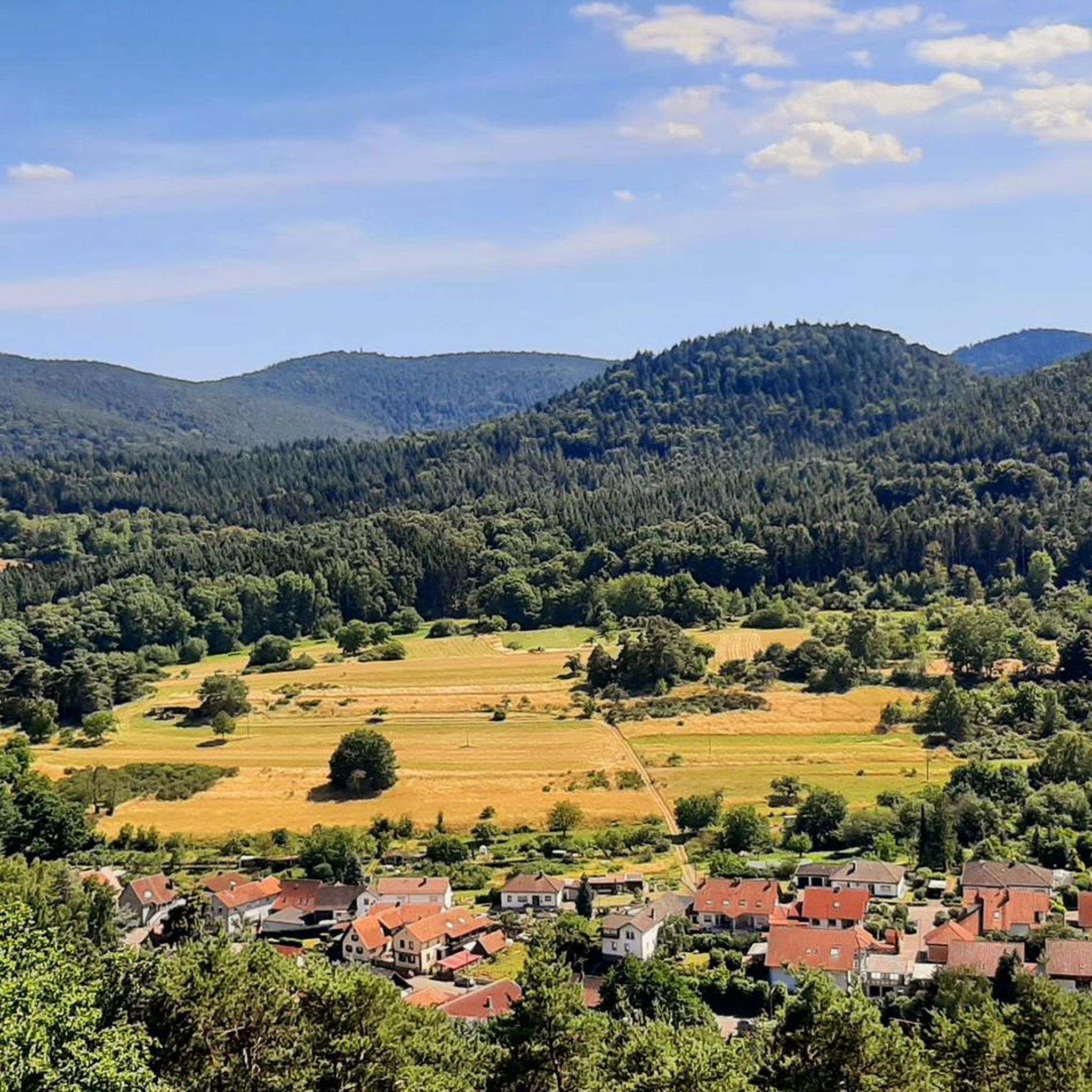
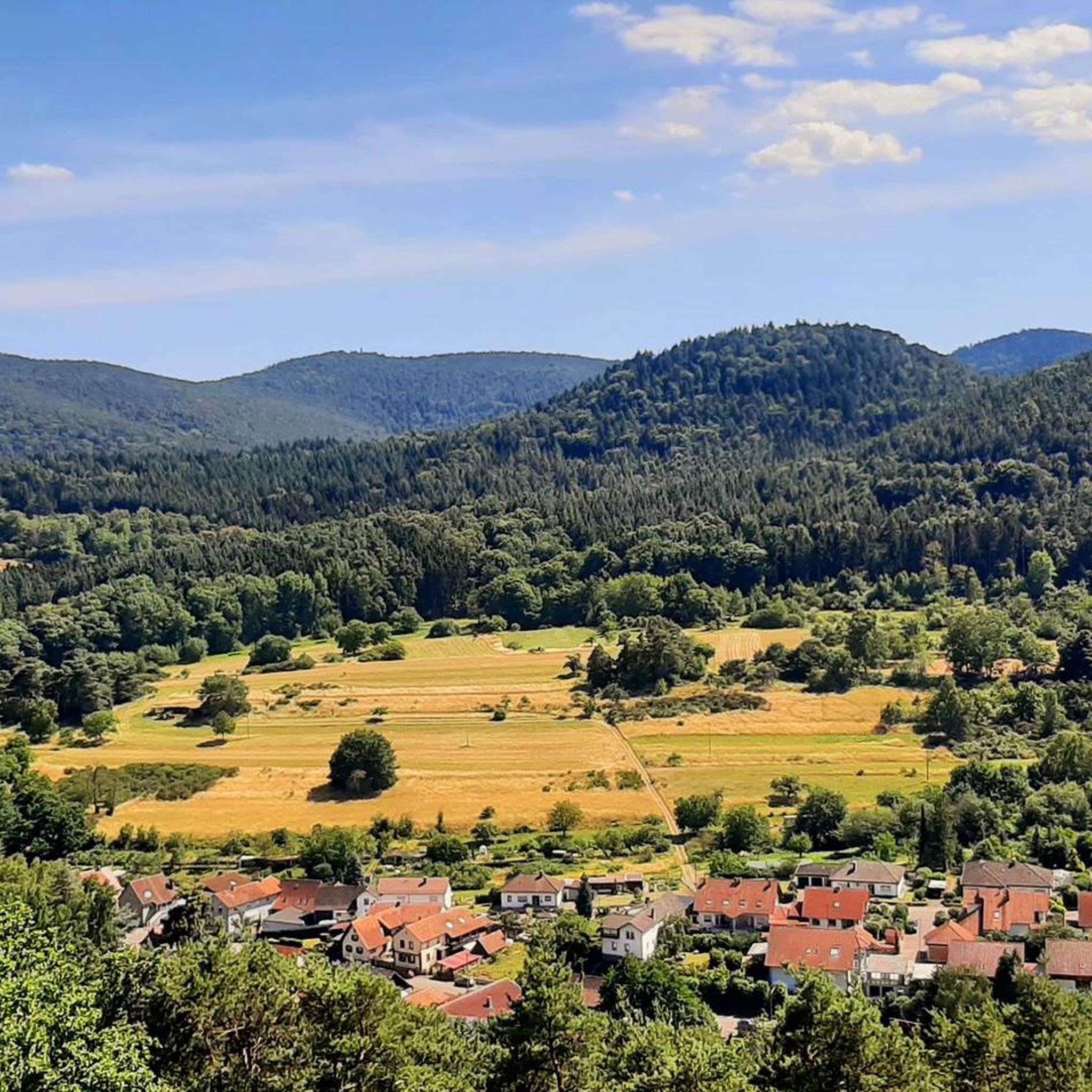
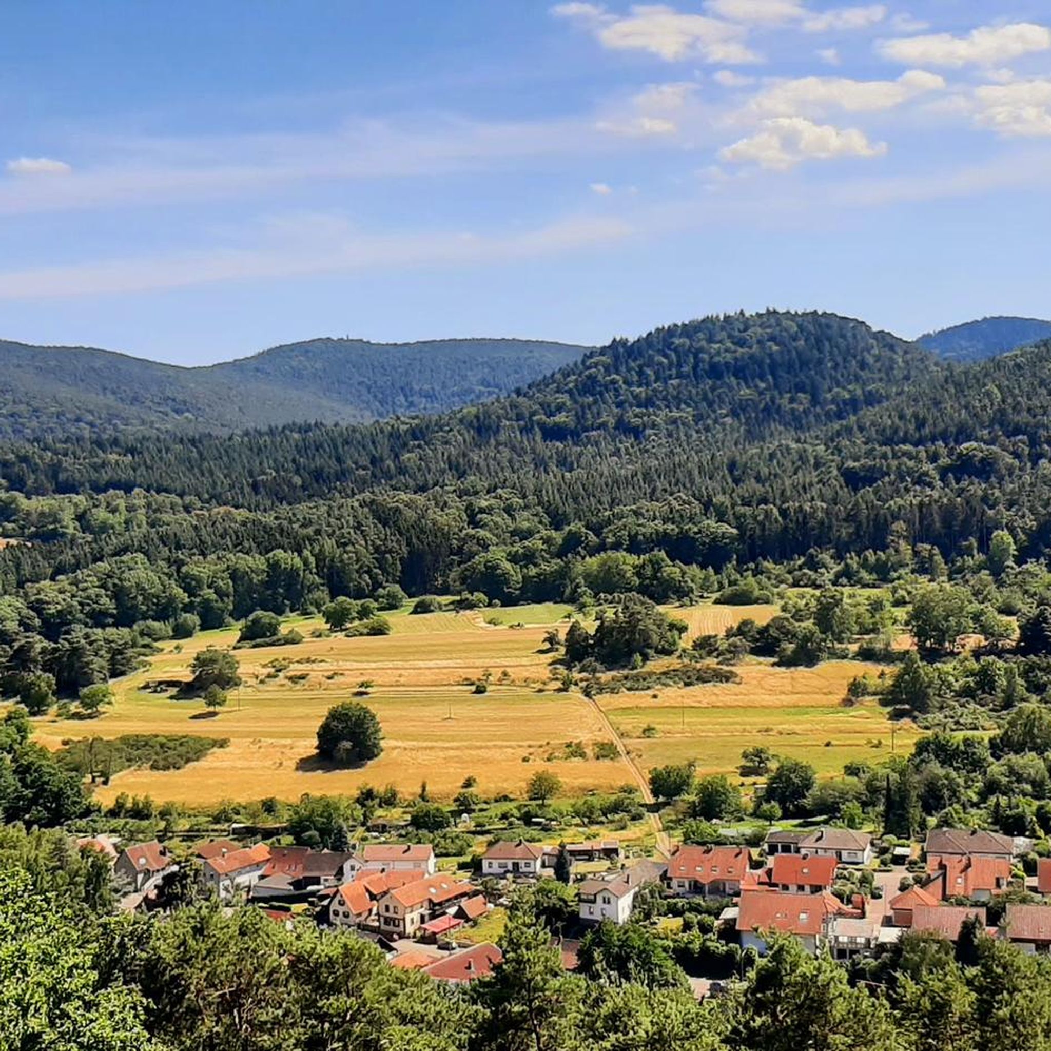
From the summit and rock ledge of the Dimberg (420 m) on the Dimbacher Buntsandstein-Höhenweg, you can enjoy a magnificent, deep view into the valley, onto the village of Dimbach, and to the northeast towards the striking Geiersteine.
3
0

That must be Altdahn Castle, not Fleckenstein. This landmark should either be renamed or removed!
1
0

And we owe it to the formation of the Alps... they press down on the Earth's crust, which couldn't withstand the pressure... and broke apart and was pushed upwards.
7
0

You can see it from the reddish sheaf: these rocks consist, among other things, of Dandstein, a legacy of the Ice Age.
5
0

Beautiful resting place right next to a sandstone cliff, and right next to it is the shaving area for elves (with power socket!).
5
0
This magnificent rock formation is reached via a path marked "difficult" as part of the Bärensteig trail. The trail is easily manageable, though "difficult" probably only because the path is somewhat steep in places.
7
0

A bit bumpy from the parking lot, but easily accessible - at least as far as the clearing with the impressive east wall.
3
0
Frequently Asked Questions
How many mountaineering routes are available around Birkenhördt?
There are several mountaineering routes around Birkenhördt, with komoot featuring 6 distinct tours. These routes traverse the diverse landscape of the Palatinate Forest and Wasgau region, offering varied challenges for outdoor enthusiasts.
What kind of difficulty can I expect on mountaineering routes near Birkenhördt?
The mountaineering routes around Birkenhördt cater to various skill levels. Most routes are classified as moderate, with 5 out of 6 tours falling into this category. There is also one difficult route, the Keeshäwel Rock Formation – Immersberg loop from Schwanheim, which features challenging ascents and requires good fitness and sure-footedness.
Are there circular mountaineering routes around Birkenhördt?
Yes, many of the mountaineering routes in the Birkenhördt area are circular, allowing you to start and end at the same point. Examples include the Keeshäwel Rock Formation – Immersberg loop from Schwanheim, the Railway Cliff – Napoleon Rock loop from Bruchweiler-Bärenbach, and the Hoher Kopf Rock Formation – Dimbach Oak Spot loop from Dimbach.
What natural features or landmarks can I see on these routes?
The region is rich in distinctive rock formations and scenic natural beauty. You can encounter geological features like the Geierstein, Railway Cliff, Hoher Kopf Rock Formation, and Keeshäwel Rock Formation. The routes also offer views of dense forests, rolling hills, and can lead to peaks such as Hirzeck and Hohe Derst. Additionally, nearby attractions include the Buchkammerfels Rock Chambers and the Prelate's Chamber.
What do other mountaineers say about the routes in Birkenhördt?
The mountaineering routes around Birkenhördt are highly regarded by the komoot community, boasting an average rating of 4.9 out of 5 stars from 9 reviews. Over 40 mountaineers have explored these trails using komoot, often praising the varied terrain, the challenging ascents, and the beautiful natural scenery of the Palatinate Forest.
When is the best time of year for mountaineering in Birkenhördt?
The Palatinate Forest region around Birkenhördt is beautiful year-round, but spring and autumn generally offer the most pleasant conditions for mountaineering. During these seasons, temperatures are moderate, and the foliage provides stunning colors. Summer can be warm, while winter may present icy conditions, especially on higher elevations and rock formations, requiring extra caution.
Are there family-friendly mountaineering options near Birkenhördt?
While many routes are moderate to difficult, some shorter, less strenuous paths might be suitable for families with older children who are accustomed to hiking. For example, the Hoher Kopf Rock Formation – Dimbach Oak Spot loop from Dimbach is 4.0 miles (6.5 km) and takes about 2 hours 10 minutes, making it a more manageable option. Always check the specific route details for elevation gain and terrain to ensure it matches your family's ability.
Can I bring my dog on mountaineering trails in Birkenhördt?
Generally, dogs are welcome on hiking and mountaineering trails in the Palatinate Forest. However, it's crucial to keep them on a leash, especially in nature reserves, near wildlife, or when passing through agricultural areas. Ensure your dog is fit enough for the terrain and duration of the chosen route, and always carry water for them.
How long do mountaineering routes around Birkenhördt typically take?
The duration of mountaineering routes varies significantly based on distance and elevation gain. For instance, the Hoher Kopf Rock Formation – Dimbach Oak Spot loop from Dimbach can be completed in about 2 hours 10 minutes, while the more challenging Keeshäwel Rock Formation – Immersberg loop from Schwanheim typically takes around 5 hours 49 minutes.
What kind of elevation gain should I expect on these routes?
Mountaineering routes around Birkenhördt feature significant elevation changes due to the rolling hills and distinct rock formations. For example, the Keeshäwel Rock Formation – Immersberg loop from Schwanheim involves an elevation gain of over 590 meters, while the Railway Cliff – Napoleon Rock loop from Bruchweiler-Bärenbach has an elevation gain of over 300 meters.
Where can I find parking for mountaineering trails around Birkenhördt?
While specific parking locations are not detailed for every trailhead, many villages and popular starting points in the Palatinate Forest, such as Schwanheim, Bruchweiler-Bärenbach, and Dimbach, offer designated parking areas for hikers. It's advisable to check local signage or online maps for parking facilities near your chosen trailhead.
How can I reach the mountaineering trailheads using public transport?
Public transport options to reach trailheads around Birkenhördt may be limited, especially for more remote starting points. Regional bus services connect Birkenhördt with larger towns. For specific routes, it's best to research bus schedules and stops in the vicinity of your chosen trailhead. Planning your journey in advance is recommended.
Most popular routes around Birkenhördt
Most popular attractions around Birkenhördt

Get inspired with the komoot mobile app


Explore more
Browse the best Mountain Hikes & Routes in other regions.
