The best road cycling routes around Arches
4.3
(48)
1,375
riders
91
rides
Road cycling routes around Arches feature a landscape defined by unique geological formations and striking red rock scenery. The region offers a well-maintained scenic drive with rolling hills, dramatic climbs, and descents on switchbacks. Elevations range from approximately 4,097 feet at the visitor center to 5,173 feet near Devils Garden. This area is characterized by its numerous natural sandstone arches and other distinctive rock formations.
Best road cycling routes around Arches
- The most popular road cycling route is Salers loop…
Last updated: August 23, 2026
26
riders
91.8km
04:27
1,260m
1,260m
Hard road ride. Very good fitness required. Mostly well-paved surfaces and easy to ride.
5.0
(1)
27
riders
41.2km
01:51
410m
410m
Moderate road ride. Good fitness required. Mostly well-paved surfaces and easy to ride.

Sign up for free
5.0
(2)
16
riders
36.0km
01:47
530m
530m
Moderate road ride. Good fitness required. Mostly well-paved surfaces and easy to ride.
12
riders
89.3km
04:21
1,310m
1,310m
Hard road ride. Very good fitness required. Mostly well-paved surfaces and easy to ride.
10
riders
75.4km
03:54
1,290m
1,290m
Hard road ride. Very good fitness required. Mostly well-paved surfaces and easy to ride.
Get access to more routes and recommendations from other explorers.
Sign up for free
Already have an account?
Our route recommendations are based on thousands of hikes, rides, and runs completed by other people on komoot.
Start today with a free account
Your next adventure awaits.
Login or Signup



Tips from the Community

There is light in the tunnel, very good to ride
0
0
Unfortunately, there is no longer a connection for trains, but shortly behind the town center, the very good cycle path (voie verte) begins.
0
0


The Vernéjoux Bridge spans the Dordogne River and connects the communes of Sérandon (Corrèze) and Champagnac (Cantal). The current bridge was built in 1945, following the construction of the Aigle Dam from 1941 to 1945.
0
0

With a beautiful view from the bridge over the confluence of the rivers La Triouzoune and La Dordogne
0
0

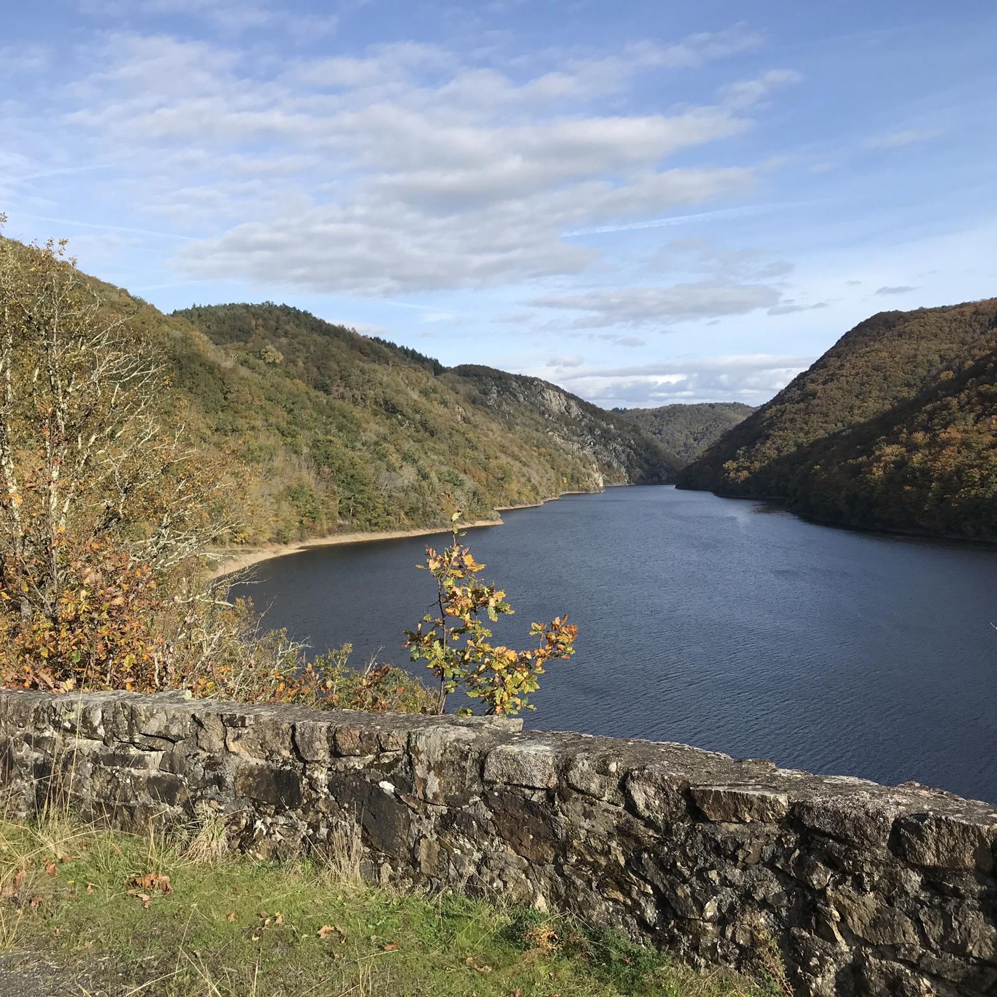
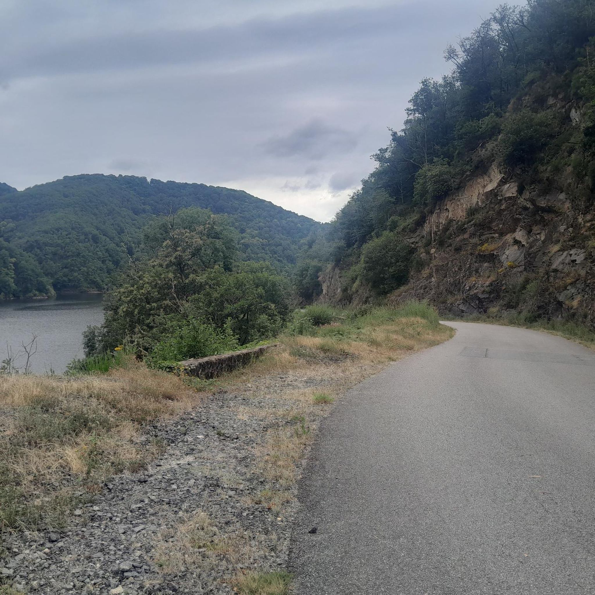
Magnificent cornice road overlooking the Dordogne.
0
0

Nice place to relax and enjoy the view!
0
0
Frequently Asked Questions
How many road cycling routes are available in the Arches area?
There are over 90 road cycling routes around Arches, catering to various skill levels. You'll find approximately 5 easy routes, 40 moderate routes, and 49 difficult routes to explore the region's unique landscapes.
What is the main road cycling experience like within Arches National Park?
The primary road cycling experience within Arches National Park is along the scenic drive, which is approximately 18 miles one-way, making for a 46.4-mile out-and-back route. It features rolling hills, dramatic climbs, and descents on switchbacks, with elevations ranging from about 4,097 feet at the visitor center to 5,173 feet near Devils Garden. The pavement is generally smooth, offering stunning views of the park's geological formations.
Are there easy road cycling routes suitable for beginners in Arches?
Yes, there are a few easy road cycling routes available. Additionally, a paved bike path connects Moab to the park entrance and continues along US 191, offering a gentler option for those seeking a less strenuous ride outside the main park road.
Where can I find more challenging road cycling routes around Arches?
For advanced cyclists seeking a challenge, the region offers nearly 50 difficult routes. One such route is the Salers – Saint-Paul-de-Salers loop from Arches, a 57.1-mile trail featuring significant climbs and descents through dramatic sandstone formations.
What are some notable scenic viewpoints or attractions along the road cycling routes?
Road cycling routes in the Arches area offer access to numerous geological wonders. You can pass by formations like The black rock viaduct, or explore areas near Puy de Manzagol. The park itself is famous for iconic arches like Delicate Arch, Landscape Arch, and Double Arch, as well as unique rock formations such as Balanced Rock and Courthouse Towers.
When is the best time of year for road cycling in Arches?
Spring and fall generally offer the most pleasant temperatures for road cycling in Arches. During warmer months, it's highly recommended to start your ride early in the morning to avoid heavy traffic and the intense desert heat. The park is an International Dark Sky Park, making evening rides or stargazing after a ride a unique experience.
Are there any specific considerations for cycling with traffic in Arches National Park?
Yes, cyclists must ride single file with the flow of traffic on park roads, as there are no dedicated bike lanes or paved shoulders on most routes. Be aware of large buses and RVs, and always prioritize safety. Starting early in the morning can help mitigate traffic concerns.
What do other road cyclists enjoy the most about road cycling in Arches?
The area is highly rated by the komoot community, with an average score of 4.2 stars from over 30 reviews. Reviewers often praise the stunning red rock landscapes, the unique geological formations, and the immersive experience of cycling through such an 'otherworldly scenery'.
Are there any family-friendly cycling options near Arches National Park?
While the main scenic drive within the park can be challenging for younger riders due to traffic and elevation changes, a paved bike path connects Moab to the park entrance and continues along US 191. This path offers a safer and more relaxed option for families looking to cycle in the vicinity of Arches.
What is the difficulty level of the <a href="https://www.komoot.com/smarttour/29265831" target="_blank" rel="noopener">Salers loop from Mauriac</a> route?
The Salers loop from Mauriac is classified as a moderate route. It covers 36.6 miles (58.8 km) with an elevation gain of approximately 667 meters, typically taking around 2 hours and 42 minutes to complete.
Can I find routes that are a good balance of distance and elevation?
Many routes in the Arches area offer a balanced challenge. For example, the Greenway in Sumène-Artense – Greenway in Sumène-Artense loop from Champagnac is a moderate 31.7-mile (51.0 km) path with about 498 meters of elevation gain, providing a good mix of distance and rolling terrain.
Are there any routes that incorporate greenway sections?
Yes, some routes integrate greenway sections for a different cycling experience. The Greenway in Sumène-Artense – Public water tap loop from Vendes is a moderate 39.7 km route that includes parts of the Greenway in Sumène-Artense, offering a pleasant ride.
Most popular attractions around Arches

Get inspired with the komoot mobile app


Explore more
Browse the best Road cycling routes in other regions.
