The best road cycling routes around Saint-Hilaire
4.4
(73)
2,381
riders
242
rides
Road cycling around Saint-Hilaire offers a diverse network of routes within a UNESCO Biosphere Reserve, characterized by the prominent Mont Saint-Hilaire, lush forests, and the scenic Richelieu River. The region features varied terrain, from gentle paths to routes with significant elevation changes, providing panoramic views of the Montérégie region. A cycling network of over 39 km includes designated bike paths and shared lanes, catering to different cycling preferences.
Best road cycling routes around Saint-Hilaire
- The most popular road cycling route…
Last updated: July 1, 2026
9
riders
44.0km
02:16
740m
740m
Moderate road ride. Good fitness required. Some segments of this route may be unpaved and difficult to ride.
15
riders
46.2km
02:20
680m
680m
Moderate road ride. Good fitness required. Mostly well-paved surfaces and easy to ride.

Sign up for free
7
riders
88.1km
04:37
1,520m
1,520m
Hard road ride. Very good fitness required. Mostly well-paved surfaces and easy to ride.
4
riders
54.0km
03:11
1,110m
1,110m
Hard road ride. Very good fitness required. Some segments of this route may be unpaved and difficult to ride.
4
riders
72.3km
03:38
1,140m
1,140m
Hard road ride. Very good fitness required. Mostly well-paved surfaces and easy to ride.
Get access to more routes and recommendations from other explorers.
Sign up for free
Already have an account?
Our route recommendations are based on thousands of hikes, rides, and runs completed by other people on komoot.
Start today with a free account
Your next adventure awaits.
Login or Signup




Tips from the Community

A reinforced concrete structure, built in 1934. It allows you to cross over the Allier River to the charming medieval village of Auzon.
0
0

The Champagnac-Le-Vieux lake is ideal for taking a dip. It has supervised swimming and the beach is labeled “Blue Flag”. You will find picnic areas, toilets and other amenities.
0
0

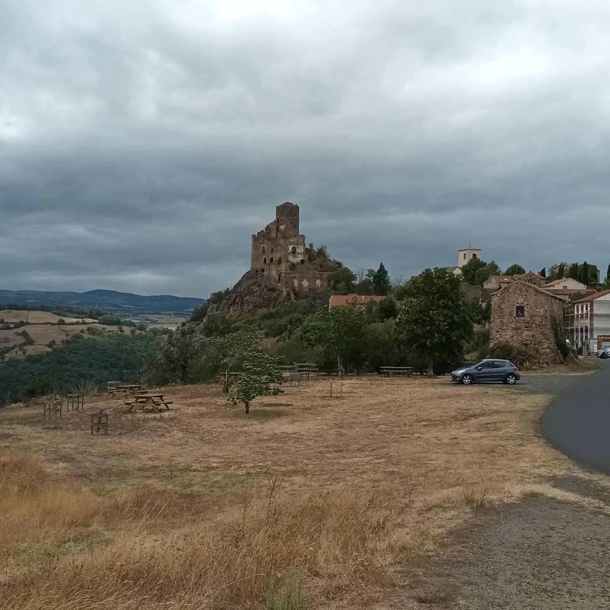
A small hamlet built in the Middle Ages around a castle-farm and its church, La Chapelle-sur-Usson constitutes an entry point to the Monts du Forez
0
0
Lamothe is a picturesque village in the Brioude plain. Its narrow streets, its winegrowers' houses with oesters and its remodeled medieval castle give it a peaceful atmosphere conducive to discovery.
0
0
At the crossroads of the Limagne plain and the slopes of Livradois, Auzon bears witness to its medieval remains, including certain historical monuments: a church, a castle and winding, cobbled streets. This small town between land and rocks is worth the detour.
0
0

The Col de la Dételée is 18.85 km long with a total drop of 606 m. The average gradient is 3.2% with maximum gradients of 9%.
1
0
This mill, which dates from 1449, is the last in Haute-Dore still in operation. Visits are regularly organized to be able to enjoy this place of history and discover the cogs and mechanisms of the time.
0
0
The abbey of La Chaise-Dieu is a former Benedictine abbey. It is a jewel of southern Gothic. Located in the village of La Chaise-Dieu, it was built during the 11th century. The complex is made up of several buildings gathered around a cloister. Complete visits are organized. Information can be found here: https://www.abbaye-chaise-dieu.com/visites/
0
0
Frequently Asked Questions
What kind of terrain can I expect on road cycling routes around Saint-Hilaire?
Road cycling around Mont-Saint-Hilaire offers a diverse range of terrain. You'll find routes with varied distances and elevation gains, catering to all fitness levels. While most surfaces are paved, providing smooth rides, some routes may include short unpaved sections. The region is characterized by its prominent mountain landscapes, the scenic Richelieu River, and agritourism areas, offering both gentle paths and more significant climbs.
Are there road cycling routes suitable for beginners or those looking for an easy ride?
Yes, Saint-Hilaire offers options for all ability levels. There are 18 easy road cycling routes available, perfect for beginners or those seeking a more relaxed experience. These routes typically feature less elevation gain and shorter distances, allowing you to enjoy the scenery at a comfortable pace.
Where can I find challenging road cycling routes with significant climbs?
For experienced cyclists seeking a challenge, Saint-Hilaire has 85 difficult road cycling routes. These routes often feature significant climbs and descents, providing a rigorous workout. An example is the Saint-Robert Abbey Church – La Chaise-Dieu loop from Champagnac-le-Vieux, which covers 88.1 km with over 1500 meters of elevation gain.
What are some scenic highlights or viewpoints I can expect on a road cycling tour?
Road cycling routes in Saint-Hilaire offer numerous scenic highlights. From the summit of Mont Saint-Hilaire, you can enjoy panoramic vistas of the surrounding Montérégie region, the picturesque Richelieu River, and even the distant Montreal skyline on clear days. Many routes also wind through charming agritourism areas, providing views of orchards, cider houses, and vineyards. The fall season is particularly renowned for its breathtaking vibrant foliage.
Are there any notable attractions or landmarks along the road cycling routes?
While cycling, you can explore various points of interest. For instance, you might pass by historical areas or natural wonders. Some attractions in the broader region include the beautiful Gomot Waterfall, the serene Banks of the Allier River, or the impressive Basilica of Saint-Julien of Brioude. These offer great opportunities for a break and exploration.
What is the best time of year for road cycling in Saint-Hilaire?
The fall season is particularly renowned for its breathtaking scenery, with vibrant red, orange, and purple foliage, making it an exceptional time for road cycling. However, the region's diverse landscapes and well-developed cycling infrastructure make it enjoyable throughout the warmer months, typically from spring to early autumn.
Are there long-distance road cycling routes available that connect to other areas?
Yes, the region is home to the remarkable "Sentier cyclable et pédestre Oka-Mont-Saint-Hilaire," a 143 km path. This trail links Mont-Saint-Hilaire with the greater Montreal area and several national parks, including Parc d'Oka, Parc des Îles de Boucherville, and Parc du Mont Saint-Bruno, offering extensive long-distance cycling opportunities.
What do other road cyclists think about the routes in Saint-Hilaire?
The road cycling routes around Saint-Hilaire are highly rated by the komoot community, with an average score of 4.5 stars from over 50 reviews. Cyclists often praise the varied terrain, the beautiful mountain landscapes, and the scenic views of the Richelieu River and agritourism areas.
Are there any loop routes for road cycling in Saint-Hilaire?
Yes, many road cycling routes in Saint-Hilaire are designed as loops, allowing you to start and end at the same point. An example is the Coupe-Gorge – View of La Chapelle-sur-Usson loop from Saint-Hilaire, a moderate 42.7 km path offering varied terrain and scenic views.
Can I find places to eat or drink along the road cycling routes?
Many road cycling routes wind through the region's agritourism areas, where you can find orchards, cider houses, and vineyards. These often offer pleasant breaks and opportunities to experience local products, which can include refreshments or snacks. While specific cafes or pubs aren't detailed in the route data, these agritourism stops provide a unique local experience.
How extensive is the cycling network in Mont-Saint-Hilaire?
Mont-Saint-Hilaire boasts an extensive cycling network spanning over 39 km. This network includes designated bike paths, shared lanes, and cycling rest stops equipped with repair stations, catering to various cycling preferences and needs.
Are there road cycling routes that pass by the Richelieu River?
Yes, the picturesque Richelieu River is a prominent natural feature of the Montérégie region, and many road cycling routes offer views of or run alongside its banks. This provides a serene and scenic backdrop for your ride.
Most popular routes around Saint-Hilaire
Most popular attractions around Saint-Hilaire

Get inspired with the komoot mobile app


Explore more
Browse the best Road cycling routes in other regions.
