The best running trails around Anglure-Sous-Dun
5.0
(20)
602
runners
93
runs
Jogging around Anglure-Sous-Dun offers routes through picturesque rolling countryside, vineyards, and agricultural landscapes. The region is characterized by notable elevations, including the prominent Montagne de Dun, which provides both physical challenge and panoramic vistas. The terrain ranges from 373 meters to 601 meters, ensuring consistent engagement for runners.
Best jogging routes around Anglure-Sous-Dun
- The most popular jogging route is Montagne de Dun — loop — running from Mussy-sous-Dun, a 5.4 miles (8.6 km) trail that takes 1 hour 7…
Last updated: June 27, 2026
1
runners
8.65km
01:07
310m
310m
Hard run. Very good fitness required. Mostly accessible paths. Some sure footedness required.
5.0
(1)
61
runners
24.3km
03:09
890m
890m
Hard run. Very good fitness required. Mostly paved surfaces. Suitable for all skill levels.

Sign up for free
72
runners
32.4km
04:10
1,210m
1,210m
Hard run. Very good fitness required. Mostly paved surfaces. Suitable for all skill levels.
31
runners
32.6km
04:18
1,260m
1,260m
Hard run. Very good fitness required. Mostly paved surfaces. Suitable for all skill levels.
26
runners
11.5km
01:29
400m
400m
Hard run. Very good fitness required. Mostly paved surfaces. Suitable for all skill levels.
Get access to more routes and recommendations from other explorers.
Sign up for free
Already have an account?
Our route recommendations are based on thousands of hikes, rides, and runs completed by other people on komoot.
Start today with a free account
Your next adventure awaits.
Login or Signup
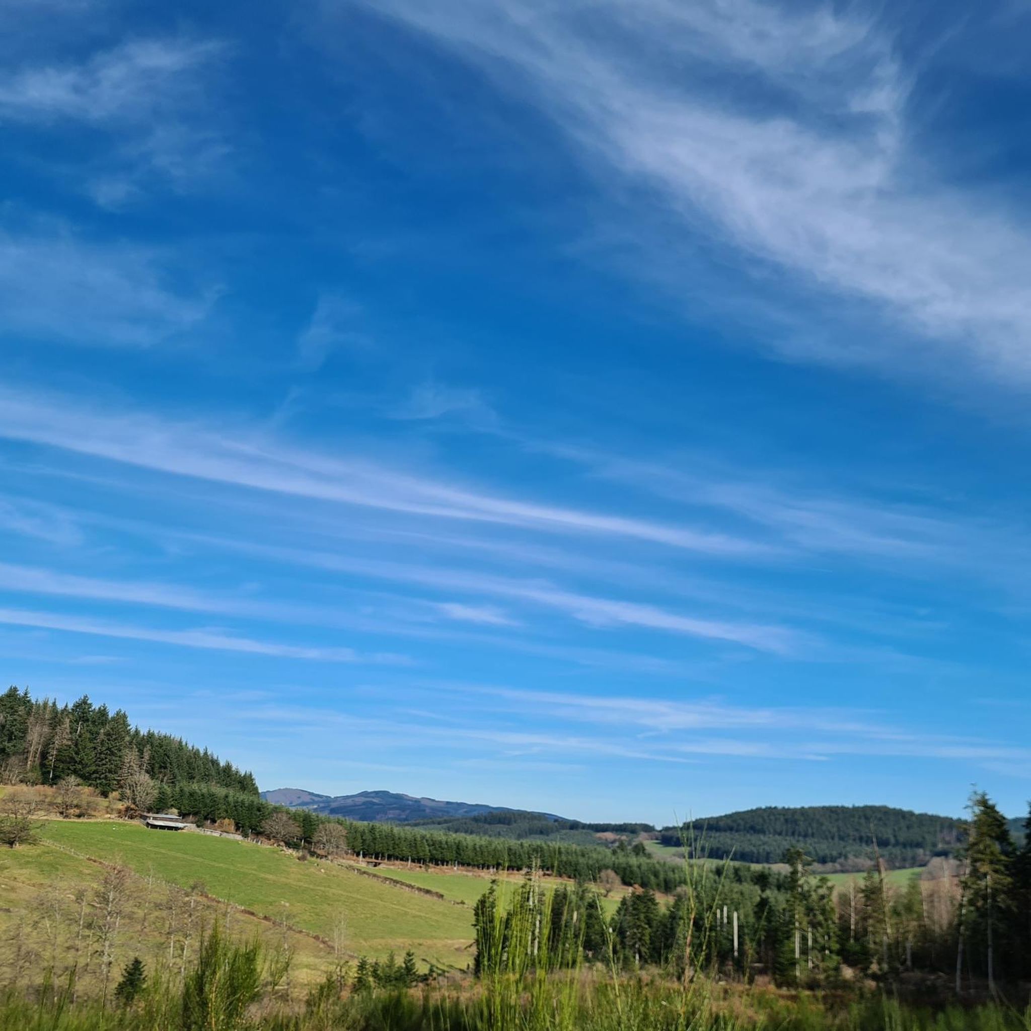
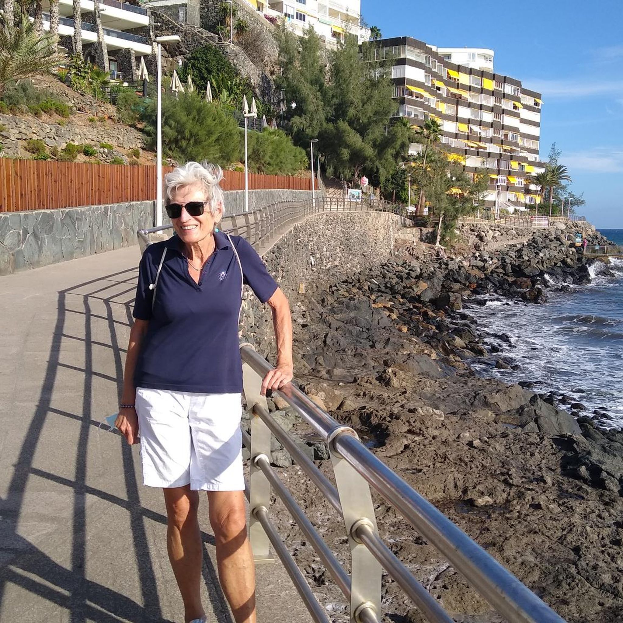
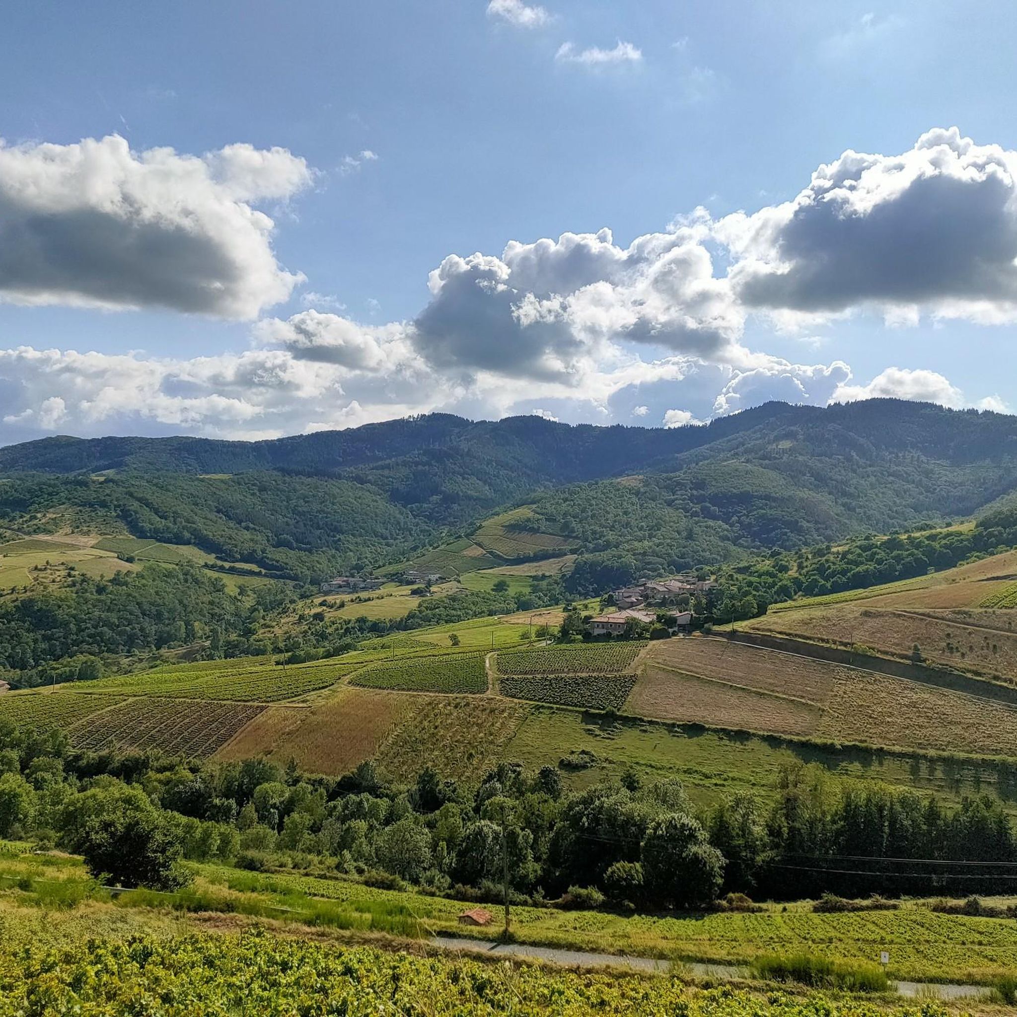
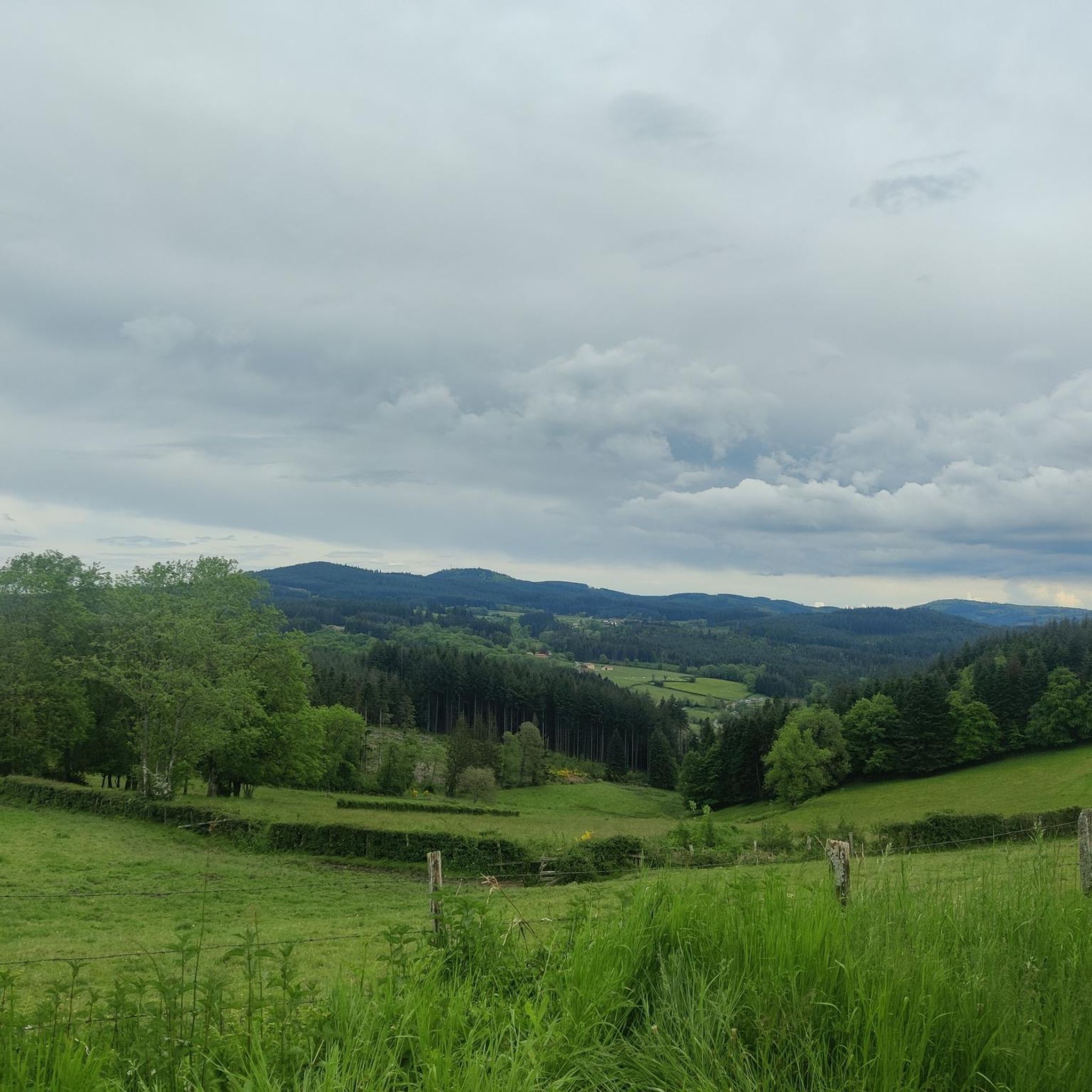
Tips from the Community

Imposing historic viaduct of a former railway line, built in 1909. The structure has a height of 27 meters and spans the Monsols valley. Today it is a popular destination for hiking and cycling tours.
0
0

The roof of the Rhône, beautiful view of the upper Beaujolais
1
0
This old railway line is magnificent, all this work for having only been used for a few years.
1
0
cabin in the woods, shame it's not maintained
1
0


Great walk. Beautiful view with picnic tables and tap with drinking water. However, NOT an easy walk. You must be able to walk well.
0
0

Great area for a vacation. We recommend.
2
0

This little cabin in the woods is abandoned. If the exterior appears well maintained, the interior is quite degraded.
1
0
Frequently Asked Questions
How many running routes are available around Anglure-Sous-Dun?
There are over 80 running routes around Anglure-Sous-Dun, offering a wide range of options for all fitness levels. This includes 2 easy routes, 56 moderate routes, and 26 difficult routes, ensuring there's something for everyone.
Are there easy running routes suitable for beginners in Anglure-Sous-Dun?
Yes, Anglure-Sous-Dun offers a few easy running routes, with 2 specifically categorized as easy and 56 as moderate. Many of these routes feature easily accessible paths, making them suitable for beginners or those looking for a less strenuous run. The region's rolling countryside provides a gentle introduction to trail running.
What kind of terrain can I expect on the running trails in Anglure-Sous-Dun?
The running trails in Anglure-Sous-Dun are characterized by picturesque rolling countryside, vineyards, and agricultural landscapes. You'll encounter notable elevations, particularly around the Montagne de Dun, which provides both a physical challenge and rewarding panoramic vistas. The terrain ranges from 373 meters to 601 meters, offering consistent engagement.
Are there any circular running routes in the area?
Yes, many of the running routes around Anglure-Sous-Dun are circular. For example, the Montagne de Dun — loop — running from Mussy-sous-Dun is a popular circular option, providing a complete experience of the local landscape.
What are some scenic highlights or attractions I can see while running?
While running in Anglure-Sous-Dun, you can enjoy magnificent views from elevated points like Mount Dun and Mount Saint-Rigaud. Other notable attractions include the Blue Cross and Picnic Area and the Croix d'Ajoux. The region's vineyards and agricultural landscapes also offer picturesque backdrops.
Is Anglure-Sous-Dun suitable for family-friendly running outings?
Yes, Anglure-Sous-Dun can be suitable for family-friendly running, especially on the easier and moderate routes. The region's serene rural charm and easily accessible paths make it pleasant for families. Always check the route details for distance and elevation to ensure it matches your family's fitness level.
What do other runners say about the trails in Anglure-Sous-Dun?
The running routes in Anglure-Sous-Dun are highly rated by the komoot community, with an average score of 4.5 stars from over 10 reviews. Runners often praise the varied terrain, the challenging climbs, and the rewarding views from the Montagne de Dun, making it a popular destination for outdoor enthusiasts.
Are there any longer, more challenging running routes for experienced runners?
Absolutely. For experienced runners seeking a challenge, routes like the Mount Saint-Rigaud – Champ Juin Pass - 742 m loop from Saint-Igny-de-Vers (24.3 km) or the La Roche d'Ajoux – Mount Saint-Rigaud loop from Saint-Igny-de-Vers (37.9 km) offer significant elevation gains and varied terrain. These routes are categorized as difficult and provide a substantial workout.
What is the best time of year to go running in Anglure-Sous-Dun?
The local climate, characterized by warm summers and cool winters, is generally temperate and ideal for outdoor pursuits throughout much of the year. Spring and autumn offer pleasant temperatures and beautiful scenery, while summer provides longer daylight hours. Even winter running is possible, though conditions may vary.
Are there running routes that offer panoramic views?
Many routes in Anglure-Sous-Dun offer stunning panoramic views, especially those that ascend the Montagne de Dun. The summit of Mount Dun is particularly known for its magnificent vistas of the surrounding Burgundian countryside. The Montagne de Dun — loop — running from Mussy-sous-Dun is a great option for scenic rewards.
Can I find running routes with parking facilities?
While specific parking details for every route are not listed, many trailheads for routes around Anglure-Sous-Dun, especially those starting from villages like Mussy-sous-Dun or Saint-Igny-de-Vers, typically have accessible parking areas. It's advisable to check local maps or route descriptions for specific parking information before your run.
Are there any running trails accessible by public transport?
Anglure-Sous-Dun is a rural area, and public transport options directly to trailheads might be limited. Most visitors typically arrive by car. For specific routes, you would need to research local bus services or train connections to nearby towns and then plan your journey to the starting point.
Most popular attractions around Anglure-Sous-Dun

Get inspired with the komoot mobile app


Explore more
Browse the best Running Trails & Routes in other regions.
