The best running trails around Sohrschied
4.5
(64)
937
runners
84
runs
Jogging around Sohrschied offers diverse routes through the Hunsrück region. The area is characterized by a varied landscape of forests, meadows, and fields, providing scenic running opportunities. Its proximity to the Hunsrück-Hochwald National Park ensures access to extensive paths and trails. Runners can experience routes with elevation changes across hilly terrain and vast woodlands.
Best jogging routes around Sohrschied
- The most popular jogging route is Beautiful switchbacks loop from Kirchberg (Hunsrück), a 3.9 miles (6.3 km) trail that takes…
Last updated: October 6, 2026
5.0
(2)
18
runners
6.25km
00:45
100m
90m
Moderate run. Good fitness required. Mostly paved surfaces. Suitable for all skill levels.
11
runners
9.78km
01:08
220m
210m
Moderate run. Good fitness required. Mostly paved surfaces. Suitable for all skill levels.

5.0
(1)
10
runners
8.60km
00:54
90m
90m
Moderate run. Good fitness required. Mostly paved surfaces. Suitable for all skill levels.
5.0
(3)
7
runners
5.52km
00:35
40m
40m
Moderate run. Good fitness required. Mostly paved surfaces. Suitable for all skill levels.
5
runners
9.05km
01:02
140m
140m
Moderate run. Good fitness required. Mostly paved surfaces. Suitable for all skill levels.
Get access to more routes and recommendations from other explorers.
Already have an account?
Our route recommendations are based on thousands of hikes, rides, and runs completed by other people on komoot.
Start today with a free account
Your next adventure awaits.
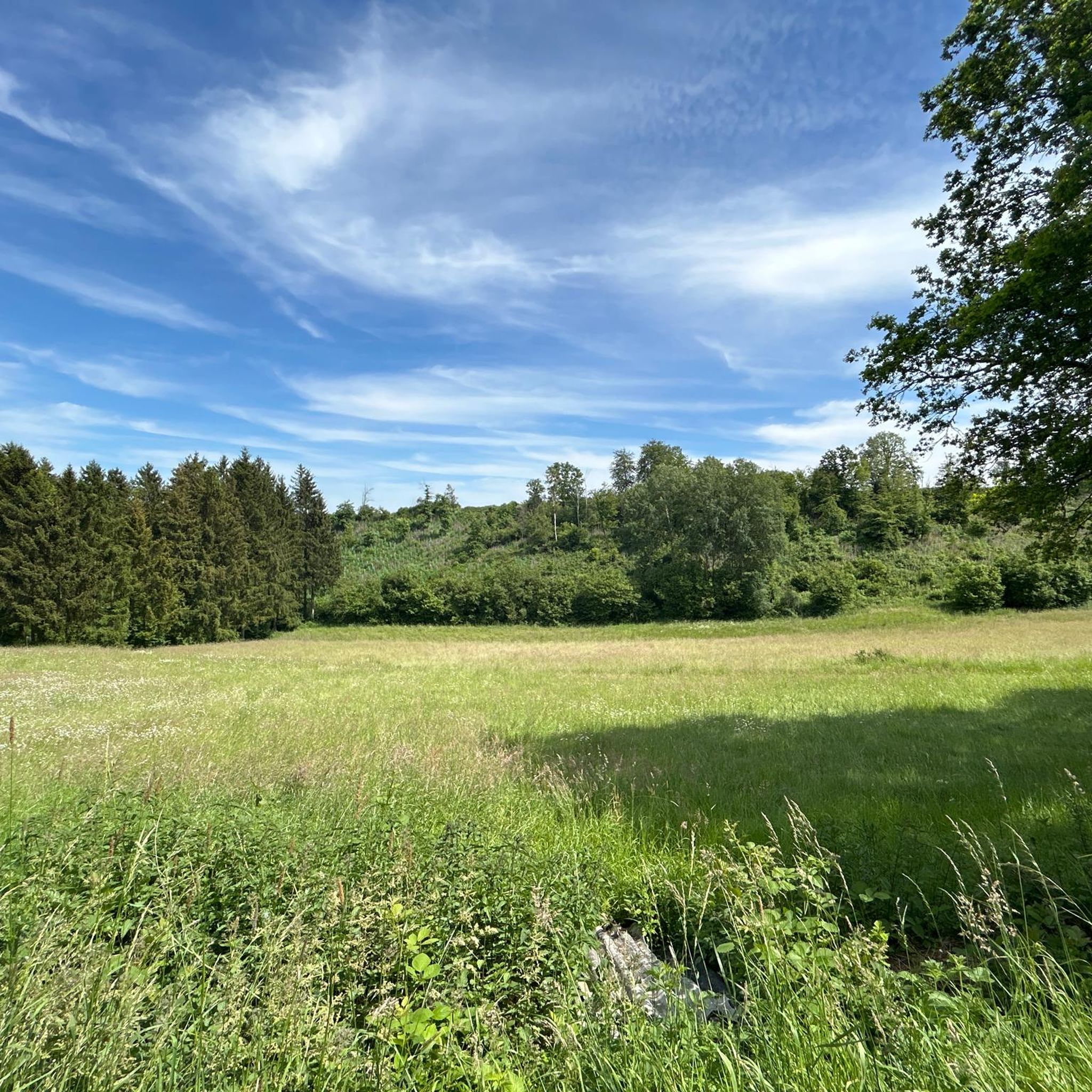
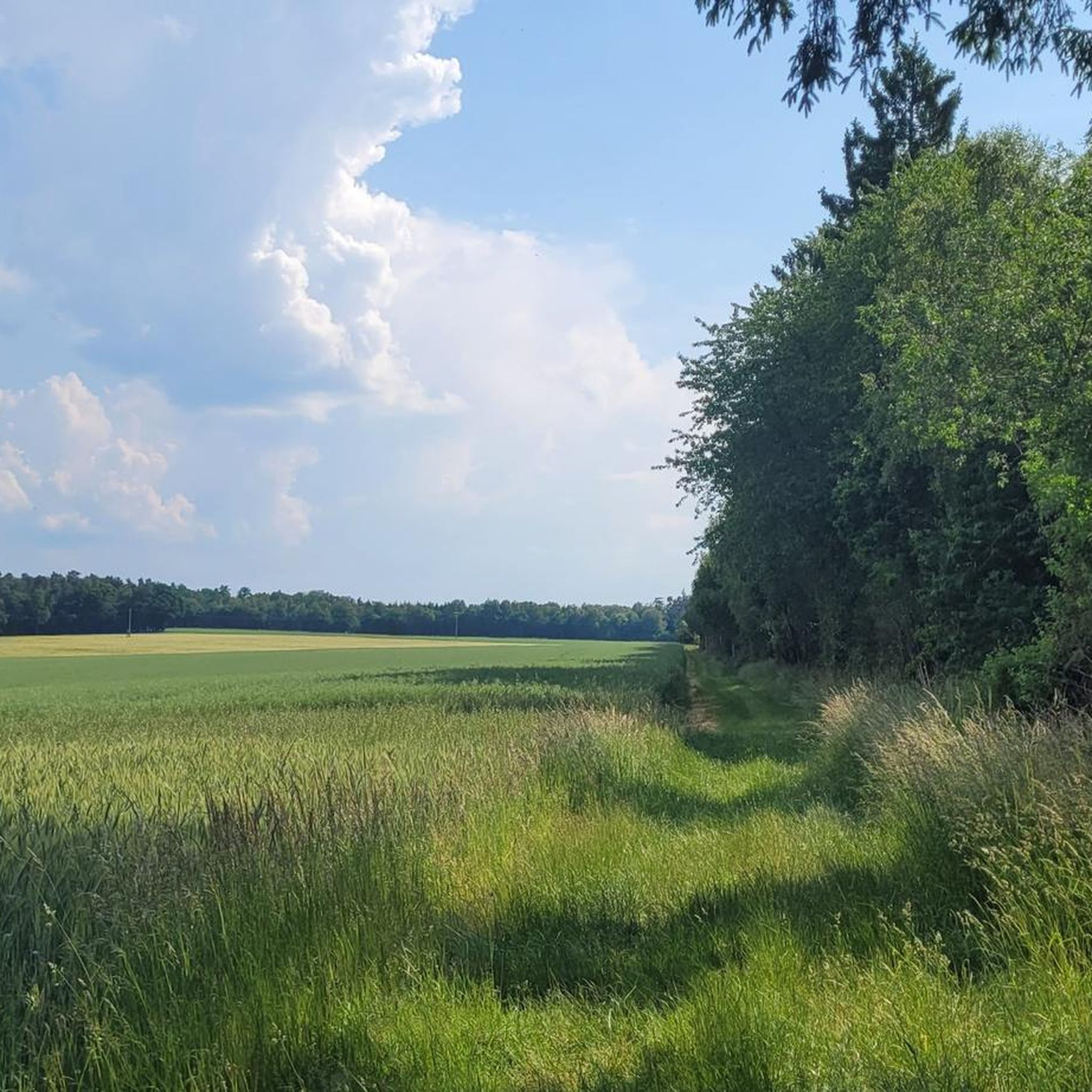

Tips from the Community

Very nice rest area
0
0

Nice idea. But at that moment you are also grateful that your own child is doing well
0
0

Good footwear is an advantage!
0
0

In 1993, Hahn Airport was converted into a civilian airport and has been growing steadily ever since, also because many cheap flights are offered from here.
12
0

When the water level is high, the stone blocks are flooded and slippery, so the only thing that helps is to carry the bike or push it through the stream, which is not a problem but causes the e-bike motor to stand in the water.
1
0

Good view of the Idarkopf and across the fields
0
0

Nice place to take a little break.
0
0
The Idarkopfturm is always worth a detour.
0
0
Frequently Asked Questions
How many running routes are available in Sohrschied?
Sohrschied offers a wide selection of running routes, with over 90 trails available for you to explore. These routes cater to various fitness levels, ranging from easy to difficult.
Are there easy running routes suitable for beginners?
Yes, Sohrschied has several easy running routes perfect for beginners or those looking for a relaxed jog. There are 12 routes specifically classified as easy, allowing you to enjoy the scenic Hunsrück landscape without excessive challenge.
What kind of terrain can I expect on the running trails around Sohrschied?
The running trails in Sohrschied feature a diverse landscape of forests, meadows, and fields. You can expect varied terrain, including hilly sections that provide both a physical challenge and panoramic views, especially given its proximity to the Hunsrück-Hochwald National Park.
Are there any family-friendly running options in Sohrschied?
For a relaxed run with the family, consider paths like the Elfenpfad (Elves' Path). This approximately 1.6-kilometer section of the premium circular hiking route "Traumschleife Diller Burgpfad" offers easily accessible paths through nature.
Can I bring my dog on the running trails?
Many trails in the Hunsrück region, including those around Sohrschied, are generally dog-friendly. However, it's always recommended to keep dogs on a leash, especially in nature reserves or near wildlife, and to check specific trail regulations if available.
Are there circular running routes in the area?
Yes, many of the running routes around Sohrschied are circular, offering convenient starting and ending points. An example is the Running loop from Hecken, which provides a moderate 5.5 km experience.
What are some points of interest or natural features I might see while running?
While running, you might encounter various natural and historical points of interest. The area features beautiful gorges like the Rhaunel Valley and Rhaunelbachtal, as well as serene lakes such as the Bio Pond. The Dill Castle Ruins also offer a historical backdrop to some routes.
How can I get to the running trails using public transport?
While specific public transport connections directly to every trailhead might be limited in this rural region, major towns near Sohrschied often have bus connections. It's advisable to check local bus schedules for routes connecting to villages close to your desired running trail.
Is parking available near the trailheads?
Yes, parking is generally available in the villages and at designated trailheads throughout the Sohrschied area. Many routes, like the Frankfurt-Hahn Airport loop from Sohren, start from easily accessible locations with parking options.
What do other runners say about the trails in Sohrschied?
The running routes in Sohrschied are highly rated by the komoot community, with an average score of 4.4 stars from over 50 reviews. Runners often praise the varied forest and open landscapes, as well as the diverse natural scenery, making for an enjoyable experience.
Are there more challenging routes for experienced runners?
Absolutely. For experienced runners seeking a greater challenge, Sohrschied offers 12 difficult routes. Additionally, sections of the Hunsrückhöhenweg, a long-distance trail, provide opportunities for longer, more vigorous runs with significant altitude gains, especially around the Erbeskopf area.
When is the best time of year to go running in Sohrschied?
Sohrschied offers a visually stimulating experience year-round. Spring and summer bring blooming meadows, autumn showcases vibrant foliage, and winter transforms the landscape into a snowy wonderland. Each season provides a unique backdrop for your run, though spring and autumn often offer the most comfortable temperatures.
Are there any longer-distance running paths for endurance training?
Yes, for those looking for longer runs, parts of the Hunsrückhöhenweg (Hunsrück High Route) can be utilized. This extensive trail spans nearly 170 km across the highest peaks of the Central Uplands in Rhineland-Palatinate, offering diverse landscapes for endurance training.
Most popular attractions around Sohrschied

Get inspired with the komoot mobile app


Explore more
Browse the best Running Trails & Routes in other regions.
