The best running trails around Schlierschied
4.5
(43)
457
runners
67
runs
Jogging around Schlierschied offers diverse running experiences across varied landscapes. The region features a mix of natural scenery, including stream valleys and forested areas, providing a range of terrain for runners. Trails vary from flatter, paved sections to more challenging paths with significant elevation changes. These routes allow runners to explore the natural features and notable attractions of the Schlierschied area.
Best jogging routes around Schlierschied
- The most popular jogging route is Rest area by the Simmerbach – Schloss Gemünden…
Last updated: October 5, 2026
4.0
(3)
15
runners
7.30km
00:47
120m
130m
Moderate run. Good fitness required. Mostly paved surfaces. Suitable for all skill levels.
11
runners
9.78km
01:08
220m
210m
Moderate run. Good fitness required. Mostly paved surfaces. Suitable for all skill levels.

5.0
(1)
6
runners
6.62km
00:47
150m
150m
Moderate run. Good fitness required. Mostly paved surfaces. Suitable for all skill levels.
5
runners
9.05km
01:02
140m
140m
Moderate run. Good fitness required. Mostly paved surfaces. Suitable for all skill levels.
7
runners
7.81km
00:50
60m
60m
Moderate run. Good fitness required. Mostly paved surfaces. Suitable for all skill levels.
Get access to more routes and recommendations from other explorers.
Already have an account?
Our route recommendations are based on thousands of hikes, rides, and runs completed by other people on komoot.
Start today with a free account
Your next adventure awaits.
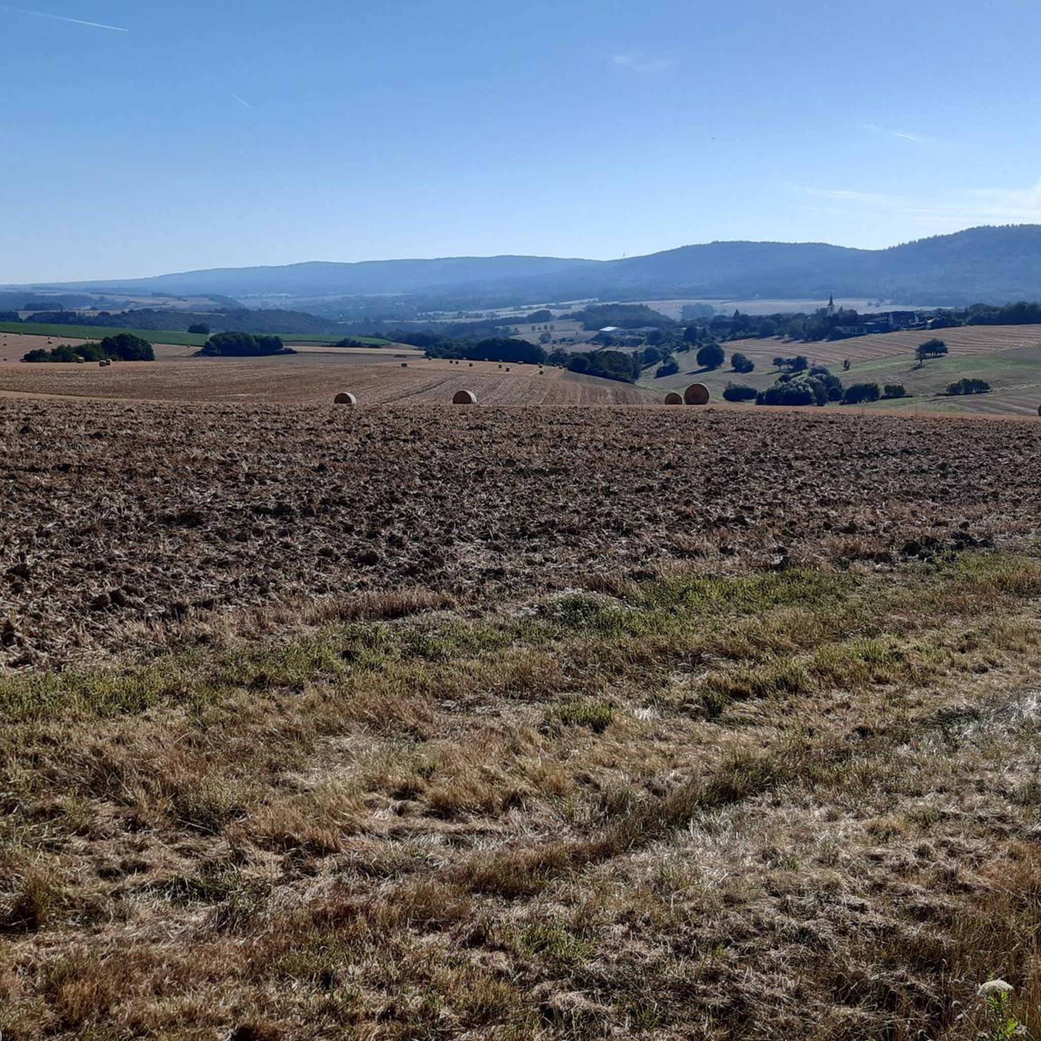
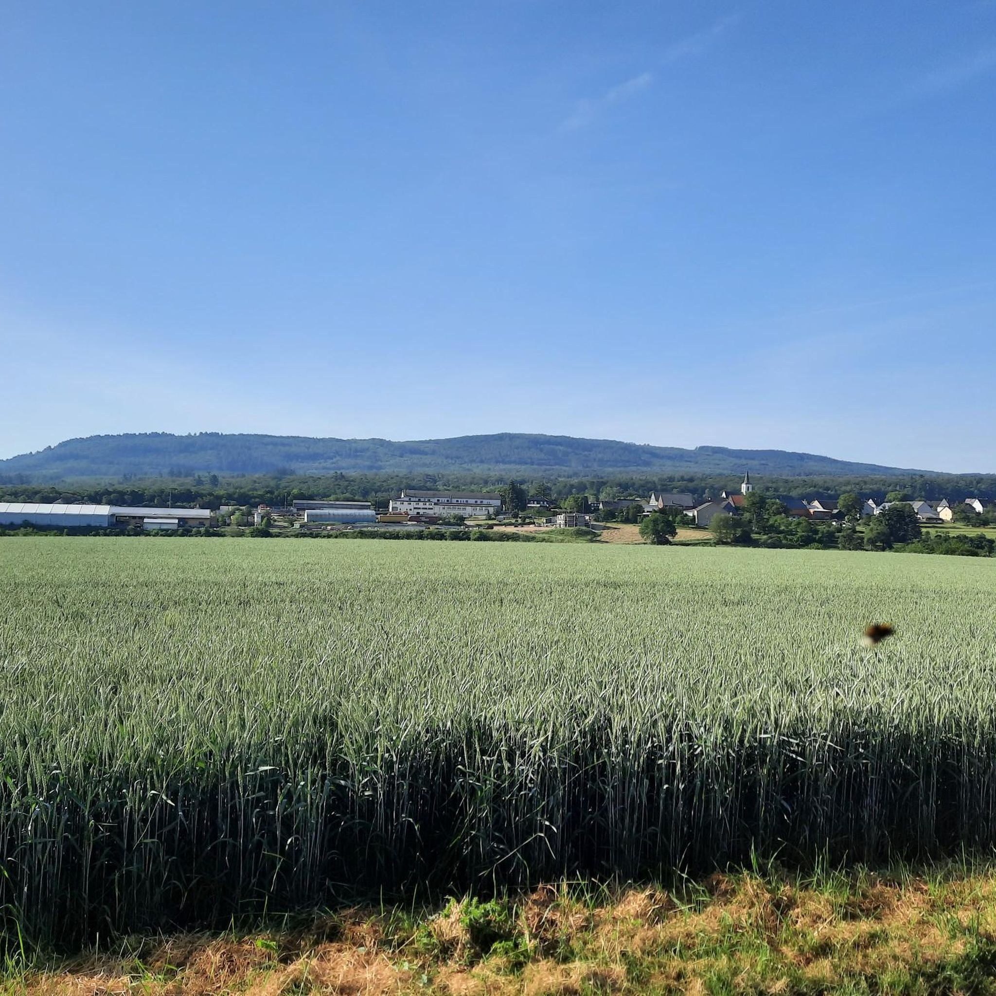
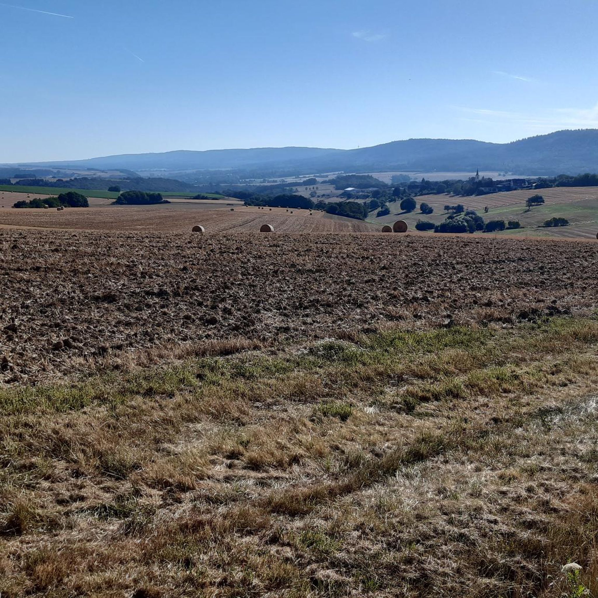
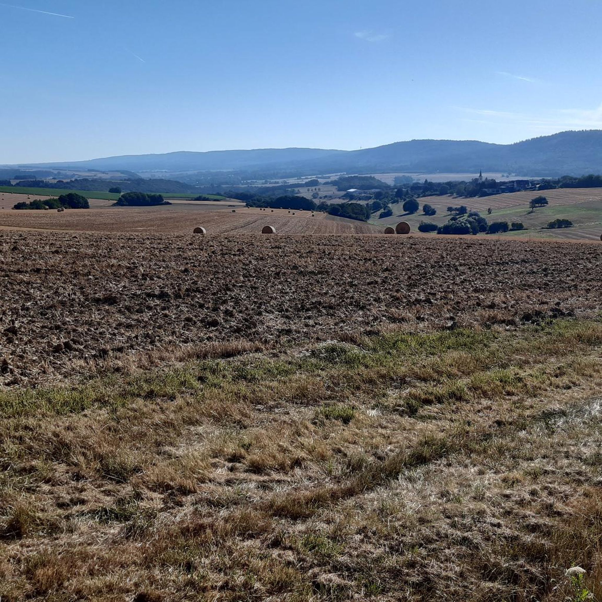

Tips from the Community

Hiking sign near Teufelsfels
0
0

Nice idea. But at that moment you are also grateful that your own child is doing well
0
0

Good footwear is an advantage!
0
0

A very beautiful trail that everyone involved put a lot of effort into. It's quite challenging in the upper part, but very flowing further down.
0
0

The Devils Rock Trail in Hennweiler takes its name from the "Devil's Rock", near which it starts. After a pleasant uphill and an entertaining traverse on trails to the starting point, there is a brilliant firework display of obstacles on the trail, which cleverly exploits the characteristics of the terrain. In the steeper initial section, things get a bit technical right from the start (S2, the Komoot rating of S3 is exaggerated), including a somewhat cheesy but fun short steep descent, rocky terrain steps and some roots. Later, the forest becomes a bit lighter and a whole battery of jumps follows - some with, some without gaps, so that beginners will also find what they are looking for here. Now that the terrain is noticeably flatter, the trail builders have built a crushed sand line in the forest: It sounds strange, but it works so brilliantly that this section may even have become our favorite part (although every section is simply brilliant!). The smooth crushed sand surface means you can roll along quickly and easily even on very flat terrain, and you can shoot over small and large jumps and push yourself through minimalist but perfectly shaped berms. We should also mention the beautiful skinny constructions that can be found all over the trail, which we had a lot of fun with. Overall, a real gem of a trail that, with its many different faces, not only makes perfect use of the terrain, but is guaranteed to have something to suit every taste! Great! 😊🤙
1
0

Solid path, hardly any differences in height, easy to walk all year round, historical references (early history, historical Roman path, former NATO headquarters)
0
1

When the water level is high, the stone blocks are flooded and slippery, so the only thing that helps is to carry the bike or push it through the stream, which is not a problem but causes the e-bike motor to stand in the water.
1
0

Beautiful idyllic rest area at the Simmerbach
0
0
Frequently Asked Questions
How many running routes are available in Schlierschied?
Schlierschied offers a wide selection of running routes, with over 70 trails available for you to explore. These routes cater to various fitness levels, from easy jogs to more challenging runs.
What kind of terrain can I expect on the running trails in Schlierschied?
The running trails in Schlierschied feature diverse terrain, ranging from shorter, flatter routes with mostly paved surfaces to more challenging paths with significant elevation changes. You'll encounter natural scenery, including stream valleys and forested areas, and some routes may even include 'mountain climbing' terrain for an added challenge.
Are there running routes suitable for beginners or those looking for an easy jog?
Yes, Schlierschied has several options for beginners or those seeking an easier run. There are 5 routes classified as 'easy', offering a gentler experience. For example, you could consider shorter, flatter routes that are up to 3 miles with minimal elevation gain.
Are there challenging running trails for experienced runners in Schlierschied?
Absolutely. For experienced runners, Schlierschied offers 17 'difficult' routes. These paths can be up to 10 miles or more, with over 1000 feet of elevation gain, often requiring sure-footedness and sturdy shoes. They provide a robust workout amidst the region's natural beauty.
What do other runners say about the trails in Schlierschied?
The running routes in Schlierschied are highly regarded by the komoot community, boasting an impressive average rating of 4.7 stars from over 40 reviews. More than 400 runners have already used komoot to discover the varied terrain, often praising the diverse running experiences and scenic natural features.
Are there any circular jogging routes in Schlierschied?
Yes, many of the running routes in Schlierschied are circular, allowing you to start and finish at the same point. An example is the Hecken Burial Mounds loop from Dickenschied, which is a moderate 4.8-mile (7.8 km) trail.
What natural features or landmarks can I see while jogging in Schlierschied?
While jogging in Schlierschied, you can encounter a variety of natural features and historical landmarks. These include the Devil's Rock, an exciting castle ruin like Schmidtburg Castle Ruins, or even the unique Trübenbach Waterfall. The region also features a 'Swing Bench by the Pond' in Hahnenbachtal, a cozy spot to relax.
Are there any running routes that pass by historical sites?
Yes, several routes offer glimpses of history. For instance, the Rest area by the Simmerbach – Schloss Gemünden loop from Gemünden passes by Schloss Gemünden. You might also find routes near the Schmidtburg Castle Ruins or the Hellkirch Ruins.
Are there any running routes with viewpoints in Schlierschied?
Schlierschied's diverse landscape offers opportunities for scenic views. While specific routes aren't always named for viewpoints, many trails wind through elevated areas. The Devil's Rock is a notable viewpoint in the area that some trails may pass near.
Are there family-friendly running paths in Schlierschied?
For families, shorter and flatter routes are ideal. Consider the 5 'easy' routes available, which typically have less elevation gain and are more manageable for all ages. These paths allow families to enjoy the natural surroundings together at a comfortable pace.
Is there parking available near the running trails in Schlierschied?
While specific parking details vary by trailhead, many popular outdoor areas in Schlierschied, especially those serving multiple trails, typically offer designated parking facilities. It's always a good idea to check the route details on komoot for specific starting points and potential parking information.
What is a good moderate running route to try in Schlierschied?
A great moderate option is the Blickersau stream crossing loop from Hausen. This 6.1-mile (9.8 km) path features a stream crossing and winds through the natural landscape, offering a balanced challenge for many runners.
Can I find routes that take me through unique natural formations?
Yes, the region is known for its unique natural features. You might find paths that lead through 'two consecutive rock breakthroughs,' offering an adventurous and memorable segment to your running route, as mentioned in the regional research.
Most popular routes around Schlierschied
Most popular attractions around Schlierschied

Get inspired with the komoot mobile app


Explore more
Browse the best Running Trails & Routes in other regions.
