The best running trails around Laufersweiler
4.4
(69)
888
runners
82
runs
Jogging around Laufersweiler offers routes through the Hunsrück region, characterized by rolling hills, agricultural fields, and stretches of woodland. The landscape includes dense forests like the Soonwald, providing a serene environment for running. Elevation changes are generally moderate, making the area accessible for various fitness levels. Many routes feature views of the surrounding countryside and local villages.
Best jogging routes around Laufersweiler
- The most popular jogging route is Frankfurt-Hahn Airport loop from Sohren, a 5.3 miles (8.6 km) trail…
Last updated: July 2, 2026
5.0
(1)
10
runners
8.60km
00:54
90m
90m
Moderate run. Good fitness required. Mostly paved surfaces. Suitable for all skill levels.
4.5
(2)
7
runners
4.93km
00:32
50m
50m
Easy run. Great for any fitness level. Mostly paved surfaces. Suitable for all skill levels.

Sign up for free
5
runners
5.50km
00:35
50m
50m
Moderate run. Good fitness required. Mostly paved surfaces. Suitable for all skill levels.
5.0
(1)
5
runners
5.14km
00:33
50m
50m
Moderate run. Good fitness required. Mostly paved surfaces. Suitable for all skill levels.
3
runners
10.9km
01:09
110m
110m
Moderate run. Good fitness required. Mostly paved surfaces. Suitable for all skill levels.
Get access to more routes and recommendations from other explorers.
Sign up for free
Already have an account?
Our route recommendations are based on thousands of hikes, rides, and runs completed by other people on komoot.
Start today with a free account
Your next adventure awaits.
Login or Signup

Tips from the Community

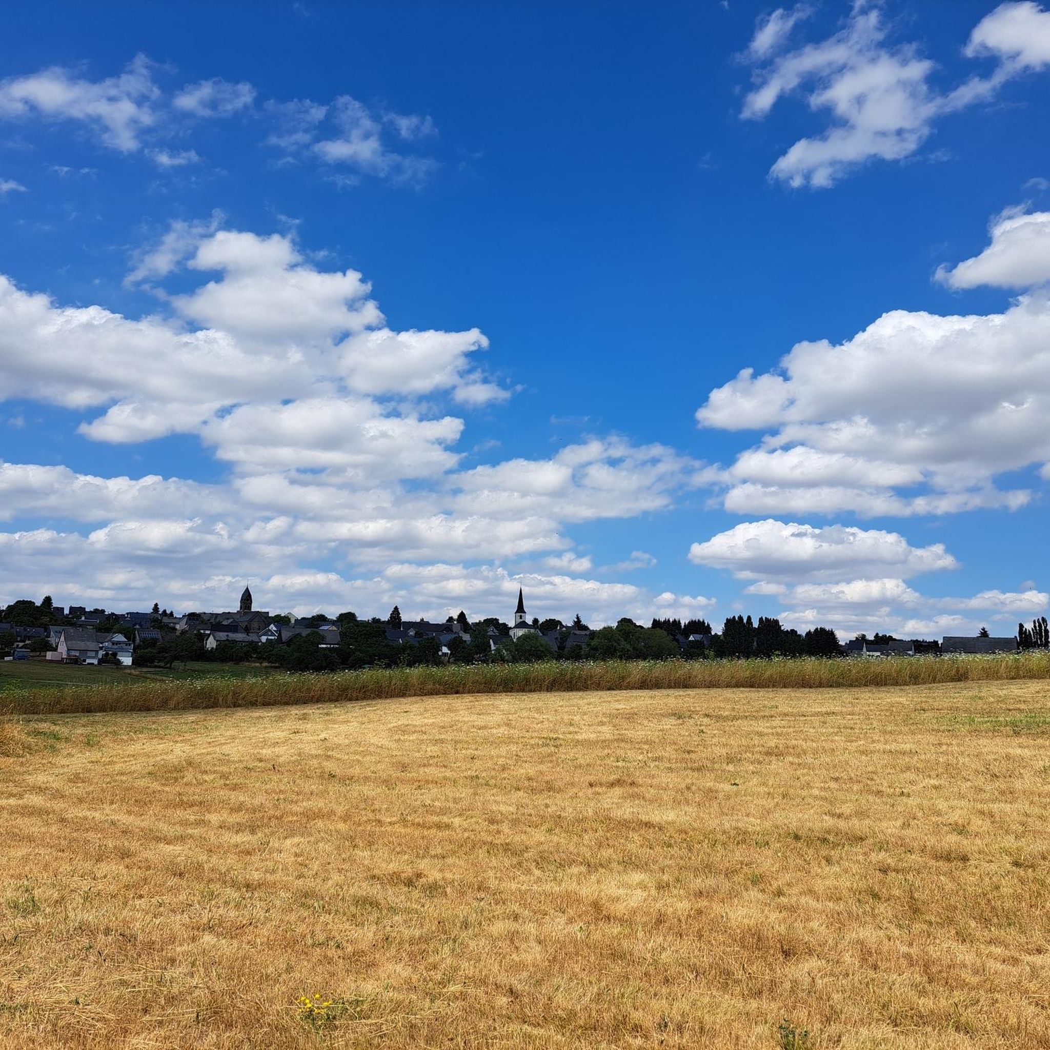
That looks really good! Hahn Airport Thanks Triwo 👍 🫶 💞 https://www.hahn-airport.de
1
0
The new owners know a lot about regional airports! Hahn Airport is located in the Hunsrück and the new owners have changed the name accordingly! https://www.hahn-airport.de/de
1
0
The visitor terrace is free 🤩 For the cargo planes, parking fees of €1200 per day are due! 🤣 Some people get upset about €5!
1
0

In 1993, Hahn Airport was converted into a civilian airport and has been growing steadily ever since, also because many cheap flights are offered from here.
12
0
Its location in the low mountain range of the Hunsrück with the Idar Forest in the south and the Moselle in the north makes it a unique transit region that is characterized by traffic.
10
0
Sohren was mentioned for the first time in 372 AD by the Roman Ausonius in his travel poem. Hahn Airport is 2 km northwest.
12
1
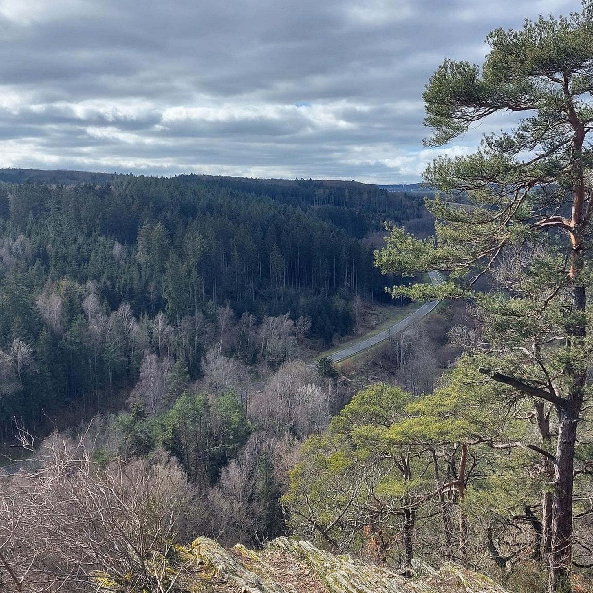
View of the Idarlkopf at 746m. At the top there is an observation tower with 170 steps
13
0
Like Sohren, Bärenbach belonged to the imperial fiefdom of Count Eberhard von Sponheim-Kreuznach in 1301. Bärenbach has been the geographical center of Rhineland-Palatinate since 1982.
11
0
Frequently Asked Questions
How many running routes are available around Laufersweiler?
There are over 90 running routes in the Laufersweiler area, offering a wide variety of options for different fitness levels and preferences. This includes 11 easy routes, 68 moderate routes, and 11 more challenging trails.
Are there any easy running trails suitable for beginners in Laufersweiler?
Yes, Laufersweiler offers 11 easy running trails perfect for beginners or those looking for a relaxed jog. A great option is the Running loop from Sohren, an easy 3.1 miles (4.9 km) path with gentle gradients through the local countryside. You can find more details about this route here.
What are some longer distance running options near Laufersweiler?
For those seeking a longer run, the Frankfurt-Hahn Airport – View of Bärenbach loop from Büchenbeuren is a moderate 6.8 miles (10.9 km) trail. It leads through woodland and open fields, offering a good workout and varied scenery. Explore this route here.
Are there any circular jogging routes in the Laufersweiler area?
Many of the running routes around Laufersweiler are designed as loops, providing convenient circular options. For example, the Frankfurt-Hahn Airport loop from Sohren is a popular 5.3 miles (8.6 km) circular trail with varied scenery. You can view this route here.
What kind of scenery can I expect on the running trails around Laufersweiler?
The running trails in Laufersweiler, situated in the Hunsrück region, feature diverse scenery. You'll encounter rolling hills, expansive agricultural fields, and peaceful stretches of woodland. Many routes also offer scenic views of the surrounding countryside and charming local villages.
Are the running routes around Laufersweiler suitable for families?
Yes, many of the easy and moderate routes are suitable for families, especially those with older children. The terrain generally features moderate elevation changes, and paths often lead through pleasant countryside. Consider shorter, easier loops like the Running loop from Niedersohren, a 3.4 miles (5.5 km) moderate path, which you can find here.
What do other runners say about the trails in Laufersweiler?
The running routes in Laufersweiler are highly regarded by the komoot community, holding an average rating of 4.5 stars from over 60 reviews. Runners often praise the varied terrain, the well-maintained paths, and the peaceful natural surroundings of the Hunsrück region.
Are there any challenging running trails for experienced runners?
Yes, for experienced runners seeking a challenge, there are 11 difficult routes available around Laufersweiler. These trails typically feature more significant elevation changes or more technical terrain, providing a more intense workout.
What are some points of interest or landmarks I might see near the running routes?
While jogging, you might be near several interesting landmarks. These include historical sites like the Schmidtburg Castle Ruins or the Celtic Settlement Altburg. There's also the unique Rock tunnel to discover.
Is public transport accessible for reaching running trails in Laufersweiler?
Laufersweiler is a rural area within the Hunsrück. While some routes might be accessible from local villages like Sohren or Büchenbeuren, which may have limited bus connections, it's generally advisable to check local public transport schedules in advance. Many runners prefer to arrive by car to access trailheads directly.
What is the best time of year to go jogging in Laufersweiler?
The Hunsrück region offers pleasant running conditions throughout much of the year. Spring and autumn provide mild temperatures and beautiful scenery with blooming flowers or vibrant fall foliage. Summer is also suitable, especially in the mornings or evenings, while winter runs can be picturesque, though some trails might be icy or muddy depending on conditions.
Are there any running routes that offer good viewpoints?
Given the rolling hills and open fields characteristic of the Hunsrück, many routes naturally offer scenic viewpoints of the surrounding landscape. While specific 'viewpoint' routes aren't highlighted, trails like the Running loop from Büchenbeuren often provide expansive vistas as they traverse open countryside. You can explore this route here.
Most popular routes around Laufersweiler
Most popular attractions around Laufersweiler

Get inspired with the komoot mobile app


Explore more
Browse the best Running Trails & Routes in other regions.
