The best walks and hikes around Baissey
4.4
(90)
361
hikers
33
hikes
Hiking around Baissey offers a diverse landscape for outdoor enthusiasts. The region is characterized by serene lake environments, such as Lac de la Vingeanne, and the distinctive Gorges de la Vingeanne. These natural features provide varied terrain, from tranquil lakeside paths to routes winding through more rugged gorges and woodlands.
Best hiking trails around Baissey
- The most popular hiking route is Tour of Lac de la Vingeanne, a 5.3 miles (8.6 km) trail that takes 2 hours 12 minutes…
Last updated: July 4, 2026
4.5
(29)
121
hikers
8.62km
02:12
30m
30m
Moderate hike. Good fitness required. Easily-accessible paths. Suitable for all skill levels.
4.6
(11)
27
hikers
15.8km
04:21
260m
260m
Moderate hike. Good fitness required. Easily-accessible paths. Suitable for all skill levels.

Sign up for free
3.4
(7)
27
hikers
Easy hike. Great for any fitness level. Easily-accessible paths. Suitable for all skill levels.
3.4
(7)
26
hikers
Easy hike. Great for any fitness level. Easily-accessible paths. Suitable for all skill levels.
4.0
(1)
16
hikers
Easy hike. Great for any fitness level. Easily-accessible paths. Suitable for all skill levels.
Get access to more routes and recommendations from other explorers.
Sign up for free
Already have an account?
Our route recommendations are based on thousands of hikes, rides, and runs completed by other people on komoot.
Start today with a free account
Your next adventure awaits.
Login or Signup




Tips from the Community

What looks like undergrowth at first glance is actually an overgrown old car.
0
0
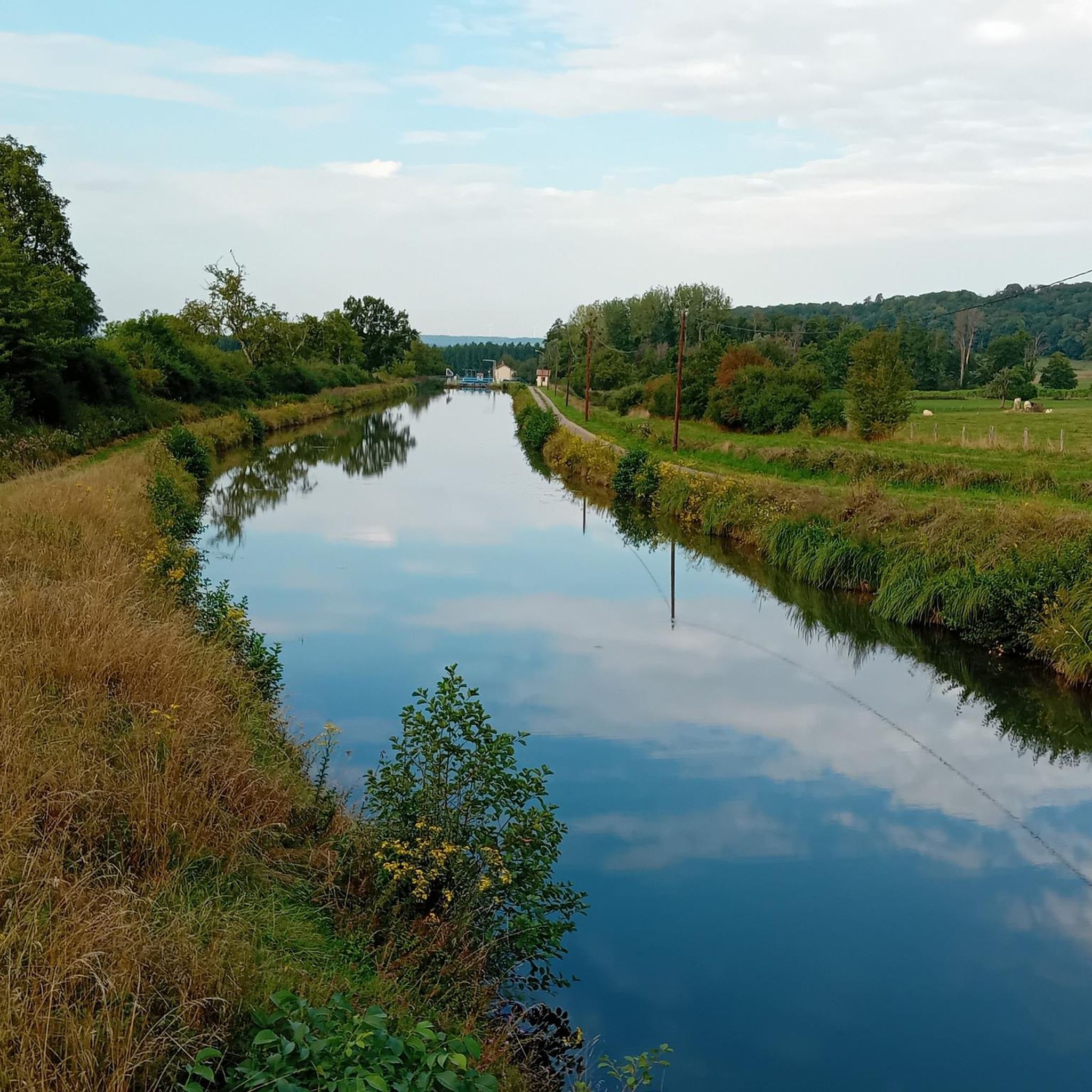
The Vingeanne river is formed by the confluence of two streams: To the north, the Combe Royer spring rises.
0
0
During the Crusades, this wild valley was a popular place for a lord of Aprey and his wife Jeanne to stroll. Their happiness ended with Jeanne's death. The young man liked to return to this place, because he remembered: "There came Jeanne." J.G. Gigot, former archivist of the department, disputes this origin in CHM (No. 39). In his opinion, the name of the river, already known in the Carolingian era, comes from Vindogena, meaning "white river".
0
0
On the komoot map, it looks like the path crossing the motorway is interrupted. However, it is a comfortable, continuous service road over which a local hiking trail runs.
0
0

Nice short walk with some nice elevation changes
0
0

Difficult passage to cross, it is better to turn around and take the ridge path
1
0

From there, you can take a short break from your run to enjoy the view of the lake.
2
0
Lac de Villegusien is a beautiful artificial lake that offers a variety of recreational activities such as swimming, sailing, fishing, bird watching and hiking; so it is perfect for running. You will enjoy views of the lake, forest, beach and wildlife along the way. The trail is open year-round and is suitable for all skill levels. Dogs are welcome but must be kept on a leash.
2
0
Frequently Asked Questions
How many hiking trails are there in Baissey?
Baissey offers a good selection of routes, with over 30 hiking trails available. These range from easy strolls to more challenging moderate routes, ensuring options for various fitness levels.
What kind of terrain can I expect on hikes around Baissey?
The terrain around Baissey is quite varied. You'll find serene lakeside paths, particularly around Lac de la Vingeanne, as well as routes winding through the distinctive Gorges de la Vingeanne. Expect a mix of woodlands, open views, and undulating hills, characteristic of the region's river valleys.
Are there any easy hiking trails suitable for beginners or families in Baissey?
Yes, Baissey has 14 easy hiking trails perfect for beginners or families. A great option is the Passage dans la roche – Gorges de la Vingeanne loop from Communauté de communes d'Auberive Vingeanne et Montsaugeonnais, which is 3.8 miles (6.1 km) and typically takes under 2 hours to complete. The Beach at Lac de Villegusien – Lake Villegusien loop from Villegusien-le-Lac is another easy, family-friendly choice.
What are some notable natural features or landmarks to see while hiking in Baissey?
While hiking in Baissey, you can explore the beautiful Lac de Villegusien and the impressive Gorges de la Vingeanne. Other nearby points of interest include the Source of the Marne, the unique Escargots of Cohons, and the intriguing Sabinus Cave.
Are there any circular hiking routes in Baissey?
Many of the trails in Baissey are circular, offering convenient loop options. For example, the popular Tour of Lac de la Vingeanne is a moderate 5.3-mile (8.6 km) loop, and the more challenging Gorges de la Vingeanne — loop from Aujeurres covers 9.8 miles (15.8 km).
How long do hikes around Baissey typically take?
Hiking durations in Baissey vary depending on the route and your pace. Shorter, easy trails like the Passage dans la roche – Gorges de la Vingeanne loop can be completed in about 1 hour 39 minutes, while moderate routes such as the Tour of Lac de la Vingeanne take around 2 hours 12 minutes. Longer moderate hikes can extend to 4-5 hours.
Can I bring my dog on the trails in Baissey?
Many trails in the Baissey region are suitable for dogs, especially those through woodlands and along lake shores. However, it's always best to check specific trail regulations or local signage for any restrictions, and ensure your dog is kept on a leash where required.
What is the best time of year to hike in Baissey?
The Baissey region offers beautiful hiking opportunities throughout much of the year. Spring brings lush greenery and pleasant temperatures, while autumn showcases vibrant foliage. Summer is also popular, though it can be warmer. Consider spring for potentially higher water levels in rivers and gorges, and autumn for comfortable hiking conditions.
Are there any trails that feature water elements like waterfalls or rivers?
While the Baissey guide data focuses on Lac de la Vingeanne and the Gorges de la Vingeanne, the broader region of Bassy (France) is known for its river valleys, including the Rhône and Fier. You'll certainly find picturesque routes alongside flowing water and around lakes in Baissey, offering beautiful water elements.
What do other hikers say about the trails in Baissey?
The hiking trails in Baissey are highly regarded by the komoot community, with an average rating of 4.4 stars from over 70 reviews. Hikers often praise the serene lake views, the distinctive gorges, and the varied paths that meander through woodlands, making for a diverse and enjoyable outdoor experience.
Where can I find parking for the hiking trails in Baissey?
Parking availability varies by trailhead. For popular routes like those around Lac de la Vingeanne or near the Gorges de la Vingeanne, you can often find designated parking areas at or near the starting points in nearby villages or recreational zones. It's advisable to check the specific route details on komoot for parking suggestions.
Most popular attractions around Baissey

Get inspired with the komoot mobile app


Explore more
Browse the best Hikes in other regions.
