The best running trails in Rhein-Hunsrück-Kreis
4.4
(564)
6,172
runners
587
runs
Jogging in Rhein-Hunsrück-Kreis offers diverse terrain, from the undulating plateaus of the Hunsrück to the valleys of the Middle Rhine. The region features dense forests covering approximately 45% of its area, providing shaded paths. Varied landscapes include flat stretches, gentle inclines, and more challenging hilly routes. The area is characterized by its extensive network of trails and natural features.
Best jogging routes in Rhein-Hunsrück-Kreis
- The most popular jogging route is Waldsee Argenthal loop from Argenthal, an 8.2 miles (13.2…
Last updated: July 2, 2026
4.9
(9)
163
runners
13.2km
01:32
210m
210m
Moderate run. Good fitness required. Mostly paved surfaces. Suitable for all skill levels.
4.0
(2)
109
runners
17.3km
02:02
160m
160m
Hard run. Very good fitness required. Mostly accessible paths. Some sure footedness required.

Sign up for free
4.3
(4)
113
runners
Moderate run. Good fitness required. Mostly paved surfaces. Suitable for all skill levels.
4.7
(6)
112
runners
10.8km
01:08
80m
80m
Moderate run. Good fitness required. Mostly paved surfaces. Suitable for all skill levels.
4.3
(3)
90
runners
8.38km
00:52
40m
40m
Moderate run. Good fitness required. Mostly paved surfaces. Suitable for all skill levels.
2.5
(2)
79
runners
10.8km
01:14
120m
120m
Moderate run. Good fitness required. Mostly paved surfaces. Suitable for all skill levels.
4.3
(3)
79
runners
Moderate run. Good fitness required. Mostly paved surfaces. Suitable for all skill levels.
5.0
(3)
77
runners
13.2km
01:22
90m
90m
Moderate run. Good fitness required. Mostly paved surfaces. Suitable for all skill levels.
5.0
(1)
71
runners
10.6km
01:07
70m
70m
Moderate run. Good fitness required. Mostly paved surfaces. Suitable for all skill levels.
4.3
(3)
73
runners
Moderate run. Good fitness required. Mostly paved surfaces. Suitable for all skill levels.
Get access to more routes and recommendations from other explorers.
Sign up for free
Already have an account?
Our route recommendations are based on thousands of hikes, rides, and runs completed by other people on komoot.
Start today with a free account
Your next adventure awaits.
Login or Signup
Popular around Rhein-Hunsrück-Kreis
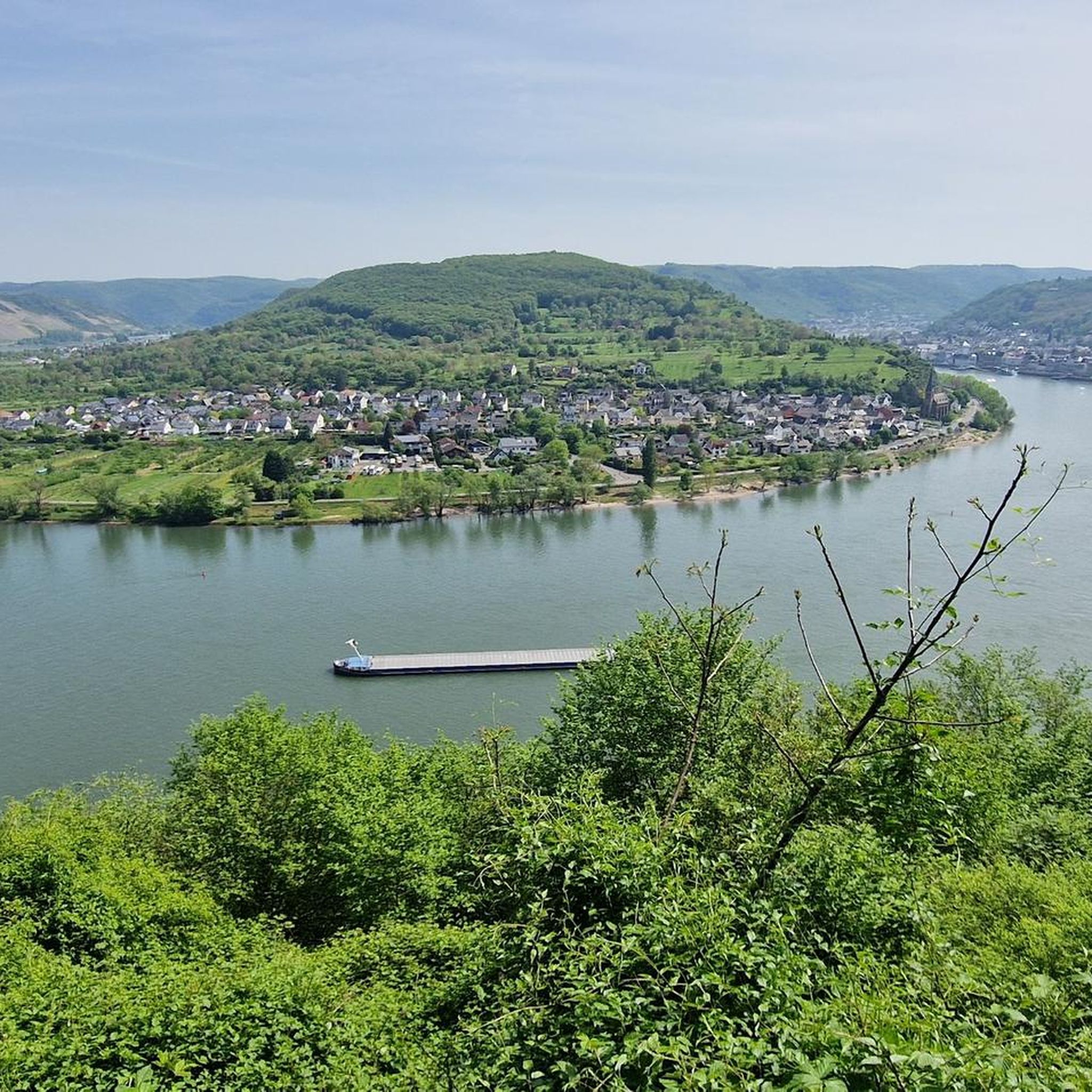
Running Trails around Boppard
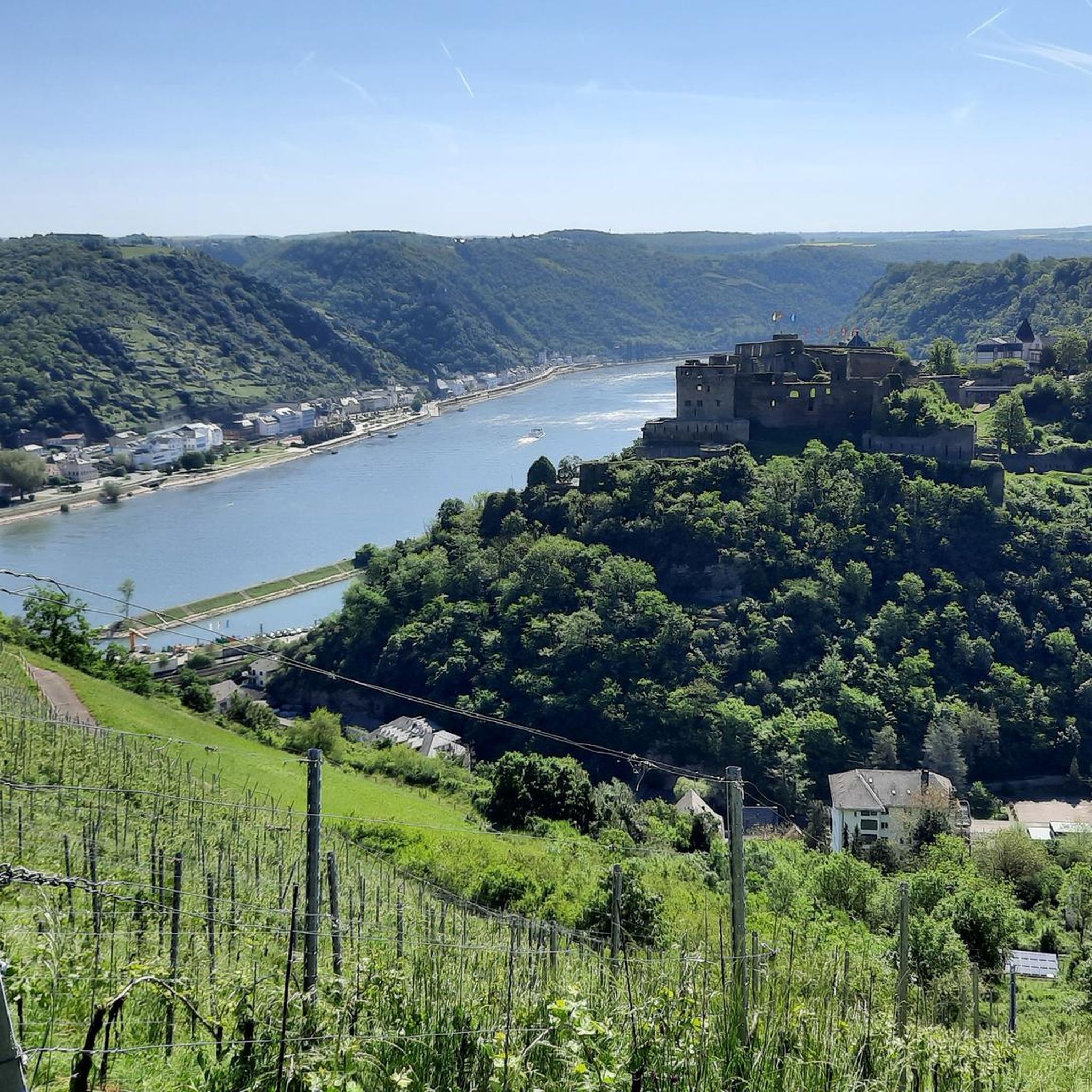
Running Trails around Sankt Goar
Running Trails around Ellern (Hunsrück)
Running Trails around Ohlweiler
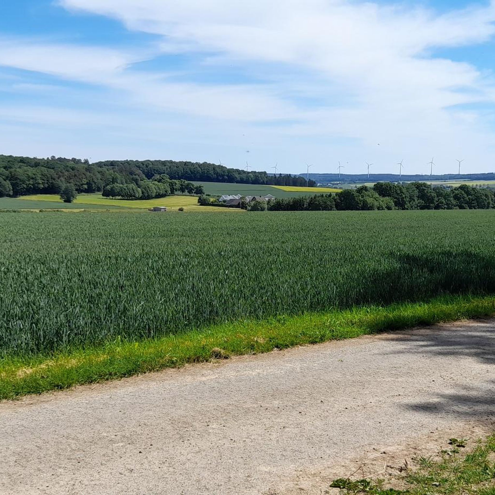
Running Trails around Budenbach
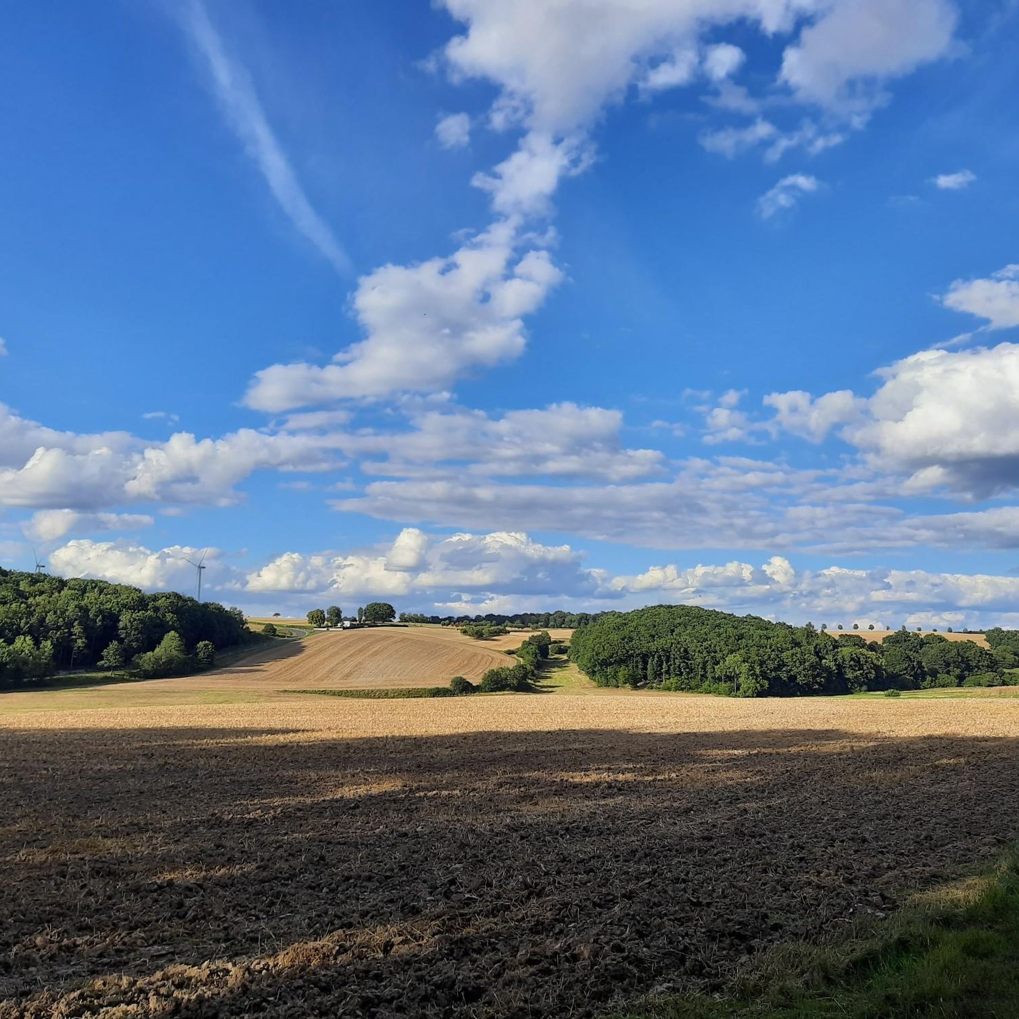
Running Trails around Schnorbach
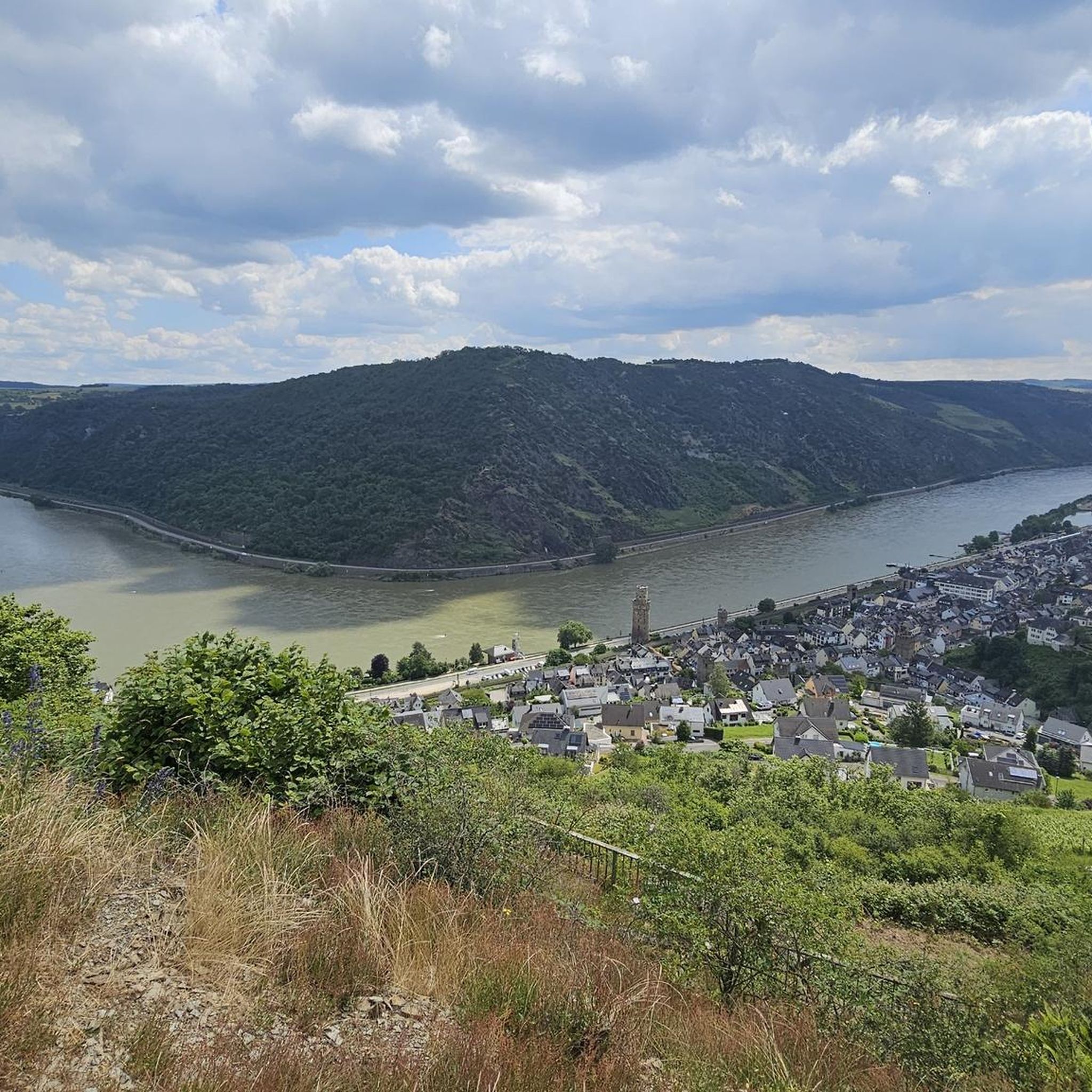
Running Trails around Niederburg
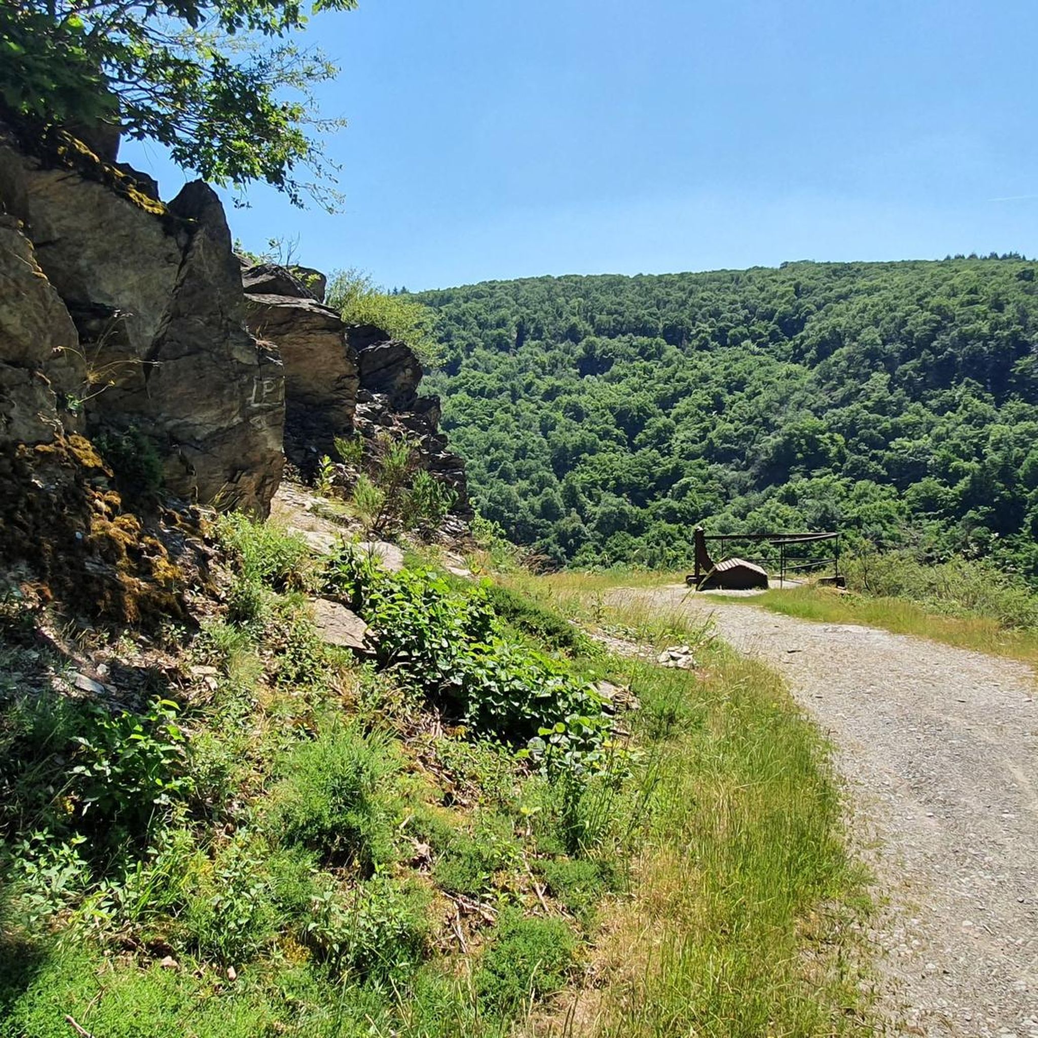
Running Trails around Damscheid
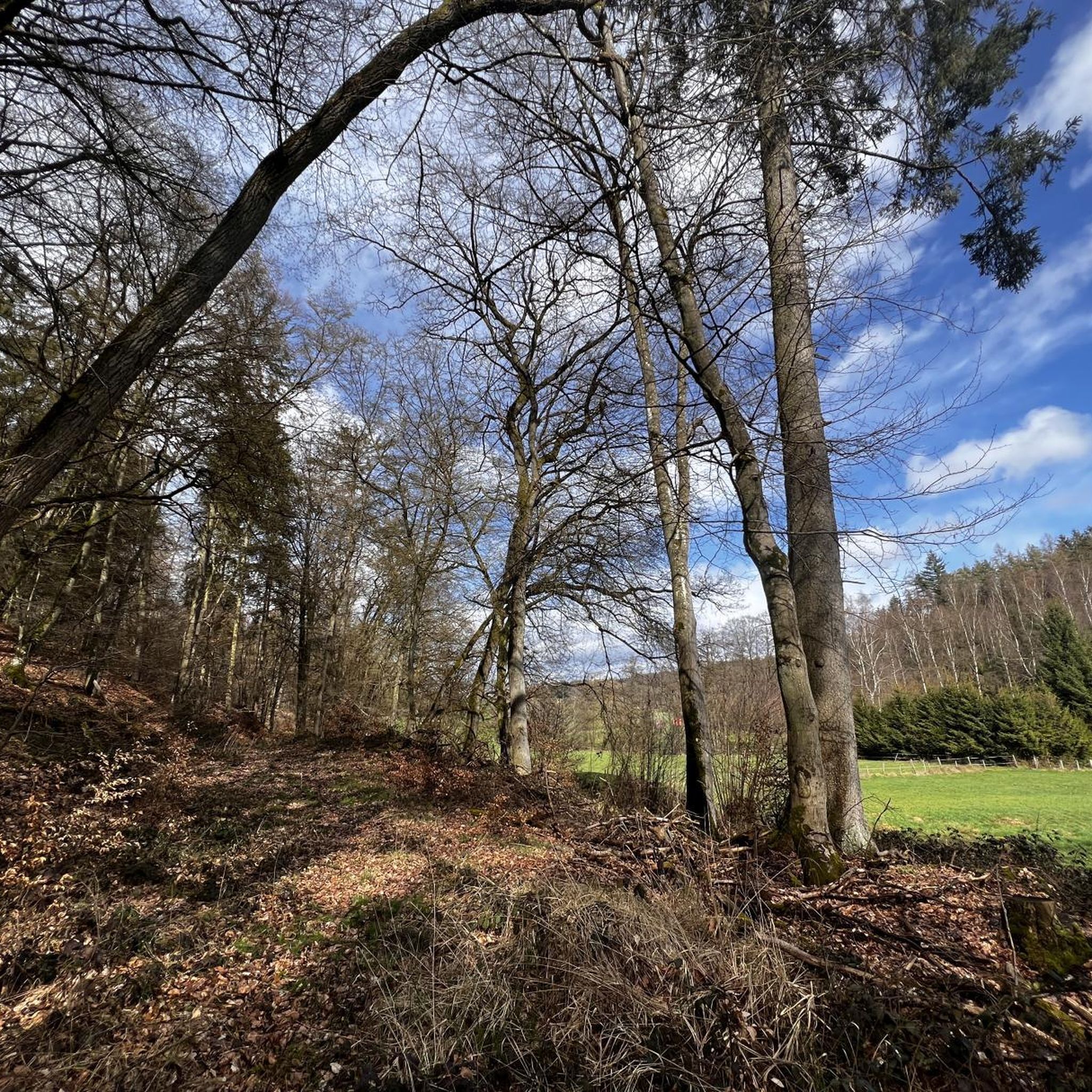
Running Trails around Klosterkumbd
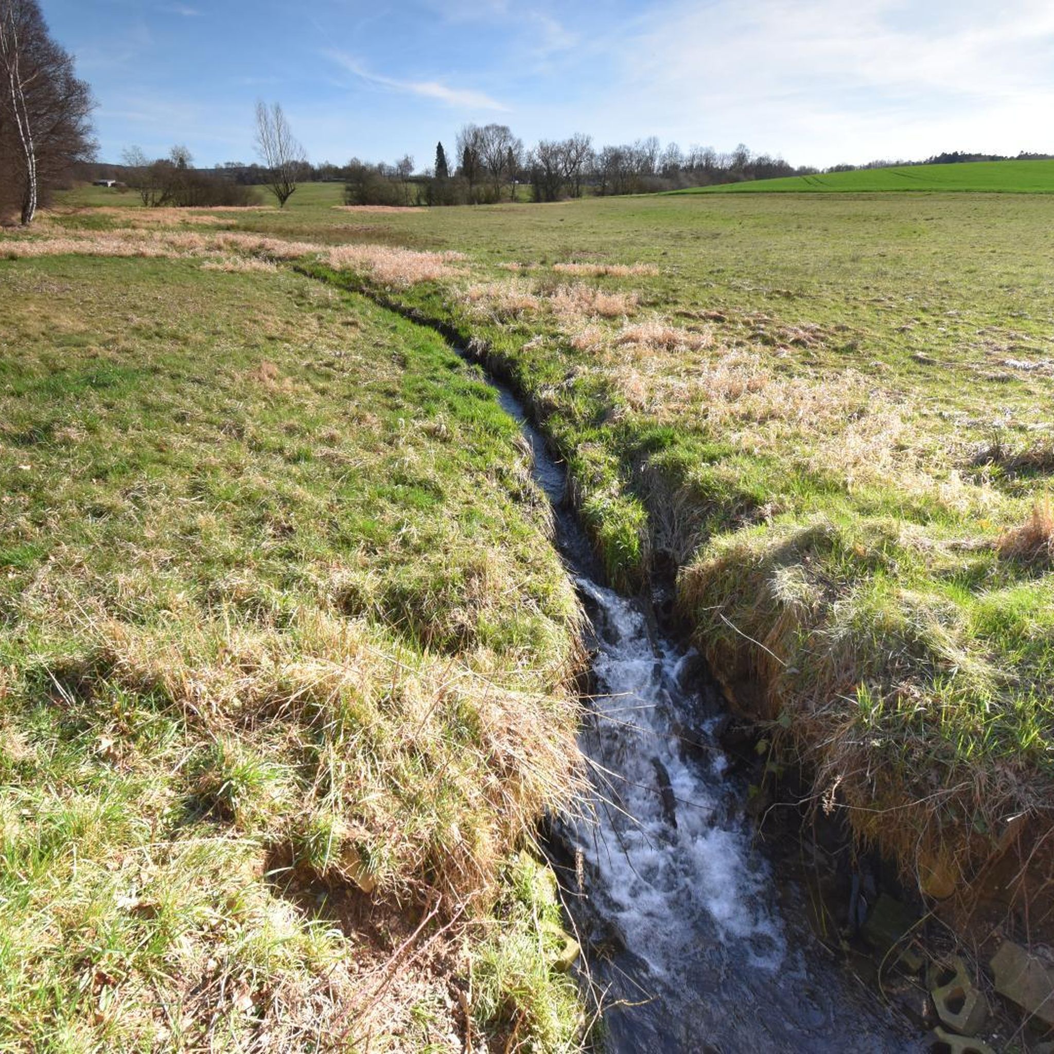
Running Trails around Mutterschied
Other adventures in Rhein-Hunsrück-Kreis


Tips from the Community

Bacharach became Protestant in 1545 because its Palatinate authorities converted to the Reformation. This ended 150 years of profitable pilgrimages to the invented "Saint" Werner. In 1997, the memorial plaque at the ruin of the Bacharach Werner Chapel provided exemplary enlightenment. https://www.komoot.com/de-de/highlight/1018567 Oberwesel was under the authority of the Archbishopric of Trier and remained Catholic to this day. It took over the pilgrimage business with its own Werner Chapel. When in 1963 the Archbishopric finally struck the false saint from the list of feast days, Oberwesel stubbornly resisted. Only reluctantly was the chapel rededicated to the Franciscan Mother Rosa.
1
0

The Mutter-Rosa-Kapelle in Oberwesel (formerly Wernerkapelle) is the rebuilt choir of the former church of the Holy Spirit Hospital, which was destroyed in 1689. The structure, built on the city wall, is characterized by a baroque roof hood. It is now located in the area of the Loreley Clinics and the retirement home.
0
0

Beautiful cycle path but very narrow at this point
0
0
Beautifully located right in Simmern
0
0

Liebenstein Castle, also known as Levenstein, is the ruin of a hilltop castle. Together with Sterrenberg Castle, located 200 meters away, it forms the so-called "Hostile Brothers" on the right bank of the Rhine near Kamp-Bornhofen in the Middle Rhine Valley in Rhineland-Palatinate. The Rheinsteig hiking trail on the right bank of the Rhine passes by Liebenstein Castle. From there, there is a good view of the Rhine Valley and the town of Bad Salzig. Since 2002, Liebenstein Castle has been part of the UNESCO World Heritage Site of the Upper Middle Rhine Valley and is also a protected cultural asset under the Hague Convention. Liebenstein Castle is the highest castle on the Middle Rhine. There are several versions of the legend of the "Hostile Brothers." It is considered certain that no armed conflict ever took place here. The legend is the subject of the poem "Two Brothers" by Heinrich Heine in his Book of Songs.
2
0

Right next to the cross there is a table with a bench, a great place for a rest.
1
0
Beautiful place, beautiful building
0
0
Frequently Asked Questions
How many running routes are available in Rhein-Hunsrück-Kreis?
The Rhein-Hunsrück-Kreis offers a vast network for runners, with over 600 routes available. These range from easy paths to more challenging trails, catering to various fitness levels.
What kind of terrain can I expect on the running trails in Rhein-Hunsrück-Kreis?
You'll find a diverse topography, from the undulating plateaus of the Hunsrück to the dramatic valleys of the Middle Rhine. The region features dense forests, offering shaded paths, as well as routes with flat stretches, gentle inclines, and more challenging hilly sections. Approximately 45% of the area is covered by forests, providing a tranquil environment for your run.
Are there running routes suitable for beginners in the Rhein-Hunsrück-Kreis?
Yes, the extensive network of running routes includes options for all ability levels. There are 76 routes classified as easy, perfect for beginners or those looking for a relaxed jog. For example, the Rhine Avenue, Boppard – View of the Rhine loop from Boppard Süd is a moderate route with minimal elevation gain, offering scenic views along the Rhine.
Can I find running routes that pass by waterfalls in Rhein-Hunsrück-Kreis?
Absolutely! The region is known for its natural beauty, including several waterfalls. You can explore routes that incorporate features like the Baybachklamm Waterfall, Baybach Waterfall, or the Waterfall in Teufelsschlucht (Ehrbachklamm). These areas often feature paths alongside streams, offering a dynamic and visually stimulating running experience.
Are there any scenic viewpoints along the running trails in the region?
Yes, the Rhein-Hunsrück-Kreis boasts numerous viewpoints that reward runners with magnificent vistas. Notable elevations like Hochsteinchen offer panoramic views over forests and valleys. You might also find routes that pass by stunning spots such as the View of the Loreley Rock, providing expansive views of the Rhine.
What natural landmarks can I explore while jogging in Rhein-Hunsrück-Kreis?
Beyond specific trails, the region features 20 beautiful natural monuments that can be incorporated into your running routes. A prominent example is the Ehrbachklamm Gorge, which offers a unique and exciting route with paths alongside streams and small waterfalls, especially charming in spring.
Are there many circular running routes in Rhein-Hunsrück-Kreis?
Yes, the region is well-known for its 'Dream Loops' (Traumschleifen) and other circular trails, which are excellent for varied running workouts. Many of the routes listed, such as the Waldsee Argenthal loop from Argenthal or the Bopparder Hamm – View of the Rhine loop from Boppard Hbf, are designed as loops, allowing you to start and finish at the same point.
What is the typical length of running routes in this region?
The running routes in Rhein-Hunsrück-Kreis vary significantly in length. You'll find shorter loops perfect for a quick run, as well as longer, more challenging trails. For example, the Running loop from Boppard Süd is around 7.7 km, while the Water Lily Pond – Bench with a view of Soonwald loop from Laubach extends to about 17.3 km.
Are the running trails in Rhein-Hunsrück-Kreis dog-friendly?
Many of the natural trails and forest paths in Rhein-Hunsrück-Kreis are suitable for running with dogs, offering plenty of space and natural surroundings. However, it's always advisable to check specific trail regulations and keep your dog on a leash, especially in nature reserves or areas with wildlife.
What do other runners appreciate most about the trails in Rhein-Hunsrück-Kreis?
The area is highly rated by the komoot community, with an average score of 4.5 stars from over 500 reviews. Runners often praise the diverse and picturesque natural landscapes, the extensive network of well-maintained trails, and the fresh air. The mix of dense forests, dramatic valleys, and scenic viewpoints provides a rich and rewarding experience for outdoor enthusiasts.
What is the best season for jogging in Rhein-Hunsrück-Kreis?
The Rhein-Hunsrück-Kreis is beautiful year-round, but spring and autumn are particularly popular for jogging. Spring brings lush greenery and blooming wildflowers, while autumn offers stunning foliage. The dense forests provide welcome shade during warmer summer months, and the region's varied topography can be enjoyed in all seasons.
How accessible are the running routes by public transport or car parking?
Many routes in Rhein-Hunsrück-Kreis are accessible, with starting points often near towns or villages. While specific parking information varies by route, many trailheads offer designated parking areas. For public transport, larger towns like Boppard, Simmern, or Sankt Goar serve as good starting points, with routes like the Bopparder Hamm – View of the Rhine loop from Boppard Hbf directly accessible from a main station.
Most popular routes in Rhein-Hunsrück-Kreis
Most popular attractions in Rhein-Hunsrück-Kreis

Get inspired with the komoot mobile app


Didn’t find what you were looking for?
Check out more Running Trails & Routes throughout Rhein-Hunsrück-Kreis below and find the perfect route in your destination.
Explore more
Browse the best Running Trails & Routes in other regions.
