The best running trails around Rutsweiler am Glan
4.3
(183)
2,254
runners
195
runs
Jogging routes around Rutsweiler am Glan are situated in the Western Palatinate, within the Kusel Musikantenland region. The area is characterized by a diverse natural landscape, including woodland, cropland, and meadowland, with the Glan river flowing nearby. Terrain varies from flat riverside paths along the Glan to challenging inclines as the ground rises steeply towards the Potzberg's summit to the east. This provides a range of running surfaces and elevation profiles for different preferences.
Best jogging routes around Rutsweiler am…
Last updated: May 24, 2026
4.2
(9)
16
runners
Moderate run. Good fitness required. Mostly paved surfaces. Suitable for all skill levels.
3.8
(4)
18
runners
Moderate run. Good fitness required. Mostly paved surfaces. Suitable for all skill levels.

Sign up for free
5.0
(1)
6
runners
6.81km
00:52
310m
310m
Hard run. Very good fitness required. Mostly accessible paths. Some sure footedness required.
6
runners
6.03km
00:45
240m
240m
Moderate run. Good fitness required. Mostly accessible paths. Some sure footedness required.
9
runners
Moderate run. Good fitness required. Mostly paved surfaces. Suitable for all skill levels.
Get access to more routes and recommendations from other explorers.
Sign up for free
Already have an account?
Our route recommendations are based on thousands of hikes, rides, and runs completed by other people on komoot.
Start today with a free account
Your next adventure awaits.
Login or Signup

Tips from the Community

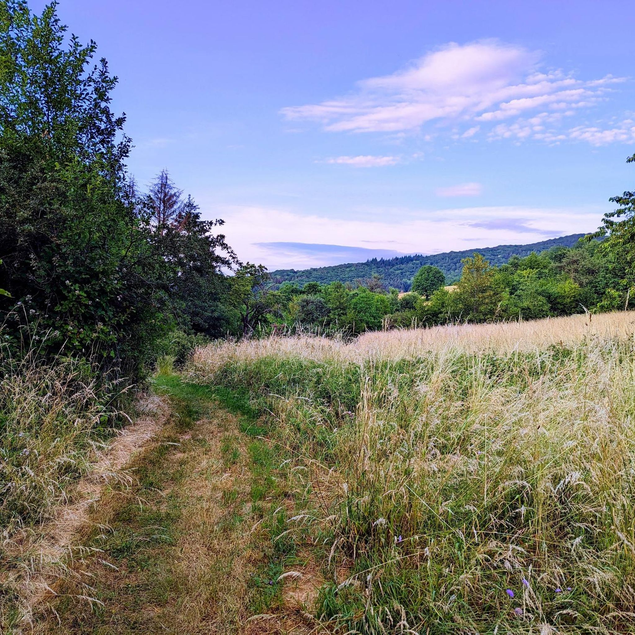
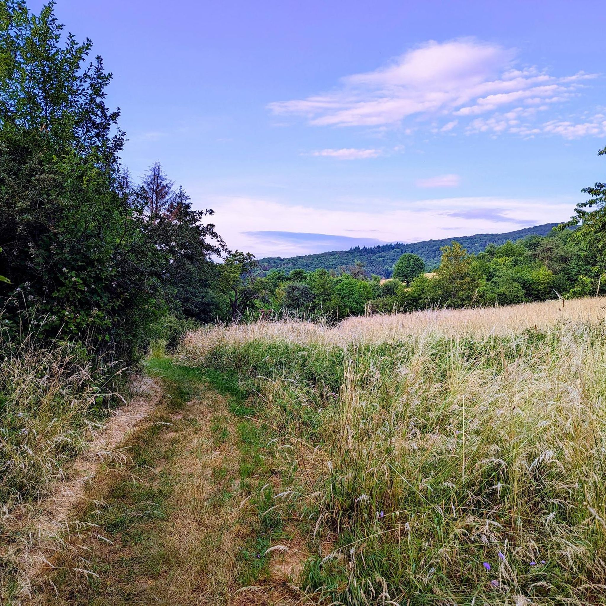
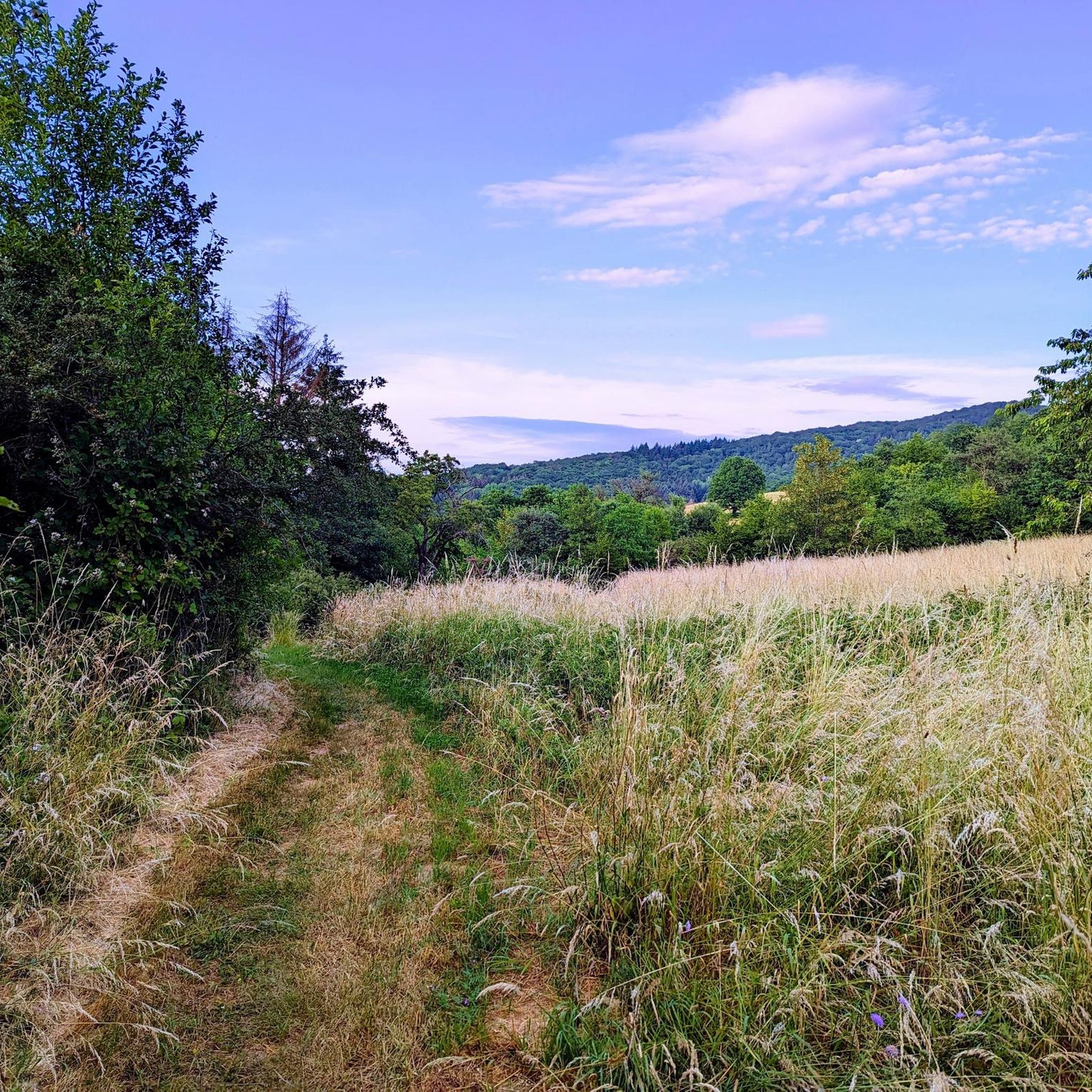
The Zickzack-Trail on the Potzberg (also called President's Trail or Snake Path) in the Westpfalz is a popular, moderately difficult mountain bike trail with several hairpin turns. It leads in snake-like windings up the 562-meter-high "King of the Westrich" and offers a pleasant gradient.
2
0
The Buchwaldhütte (approx. 90 places, PWV Theisbergstegen) is a popular, managed hut of the Pfälzerwald-Verein in Theisbergstegen. It is located at the foot of the Potzberg (near the Wild- & Greifvogelpark) and is an ideal starting point for hikes. The hut is reachable from the village in 20 minutes and offers space for hikers and families. Highlights and info: Location: Theisbergstegen, near the Potzberg ("King of the Westrich"). Facilities: Two dining rooms (approx. 60 + 30 places), outdoor seating. Hiking: Starting point for tours, e.g. family tour to the wildlife park. Operator: PWV local group Theisbergstegen-Godelhausen.
1
0
The Potzbergturm is a 35-meter-high sandstone tower on the 562-meter-high Potzberg near Föckelberg (Kusel district). It was built in 1951 (inauguration 13.07.1952), offers a wide view over the Palatinate Forest to the Vosges mountains and is a popular excursion destination. Next to the tower, there is a wildlife park, a falconry, and a hotel-restaurant (closed). It is located on the summit of Potzberg, near Föckelberg (Westpfalz) and offers a panoramic view over Westpfalz, the Palatinate Forest, and up to the Hunsrück/Vosges.
1
0
The Potzbergturm is a 35-meter-high sandstone tower on the 562-meter-high Potzberg near Föckelberg (Kusel district). It was built in 1951 (inauguration 13.07.1952), offers a wide view over the Palatinate Forest to the Vosges and is a popular destination. Next to the tower, there is a wildlife park, a falconry, and a hotel-restaurant. It is located on the summit of Potzberg, near Föckelberg (Westpfalz) and offers a panoramic view over Westpfalz, the Palatinate Forest, and up to the Hunsrück/Vosges. Opening hours: There are no specific, official closing times for the tower.
1
0
The Potzbergturm is a 35-meter-high sandstone tower on the 562-meter-high Potzberg near Föckelberg (Kusel district). It was built in 1951 (inauguration 13.07.1952), offers a wide view over the Palatinate Forest to the Vosges mountains and is a popular excursion destination. Next to the tower, there is a wildlife park, a falconry, and a hotel-restaurant. It is located on the summit of Potzberg, near Föckelberg (Westpfalz) and offers a panoramic view over Westpfalz, the Palatinate Forest, and up to the Hunsrück/Vosges. Opening hours: There are no specific, official closing times for the tower.
1
0

Great view over the Palatinate region!
0
0

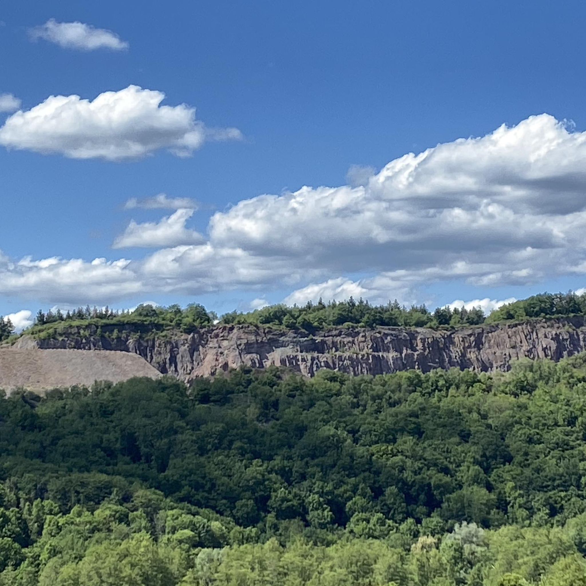
The "Yellow Water" is the drainage tunnel of the Davidskrone mercury mine near Föckelberg, which was closed in 1860. It was founded in 1781 by Philipp Schildt and named after the carpenter David Kron. The yellow color of the water comes from the iron-rich ochre that is washed out of the rock.
3
0
The "Yellow Water" is the drainage tunnel of the Davidskrone mercury mine near Föckelberg, which was closed in 1860. It was founded in 1781 by Philipp Schildt and named after the carpenter David Kron. The yellow color of the water comes from the iron-rich ochre that is washed out of the rock.
3
1
Frequently Asked Questions
What kind of terrain can I expect on the running routes around Rutsweiler am Glan?
The area offers a diverse landscape for runners. You'll find everything from flat, scenic riverside paths along the Glan river to more challenging inclines as the ground rises steeply towards the Potzberg's summit. Expect a mix of woodland, cropland, and meadowland, providing varied surfaces and elevation profiles.
Are there any easy or beginner-friendly jogging routes in Rutsweiler am Glan?
Yes, Rutsweiler am Glan has options for all levels. While the guide highlights moderate and difficult routes, there are over 20 easy running routes available in the region. These typically follow the flatter sections along the Glan river, perfect for a relaxed run.
Can I find circular running routes in the area?
Many of the running routes around Rutsweiler am Glan are designed as loops, offering convenient circular experiences. For example, the Glan River – Stork Aviary Theisbergstegen loop from Landkreis Kusel is a moderate 4.0-mile (6.5 km) trail that follows the Glan river in a circular fashion.
What are some scenic points or landmarks I might see while jogging?
The region is rich in natural beauty and historical sites. You might encounter the picturesque Glan river, diverse woodlands, and views towards the Potzberg. Notable landmarks in the broader area include Lichtenberg Castle and various bridges like the Stone Arch Bridge on the Fritz-Wunderlich Railway Path, which can be scenic points along your run.
Are there any running routes with significant elevation gain for a more challenging workout?
Absolutely. For runners seeking a strenuous workout, the routes leading towards the Potzberg mountain offer significant elevation gain. The Potzberg Tower – View from Potzberg loop from Theisbergstegen, for instance, features over 300 meters of ascent over 4.2 miles (6.8 km).
What do other runners say about the trails in Rutsweiler am Glan?
The running routes in Rutsweiler am Glan are highly rated by the komoot community, holding an average score of 4.4 stars from over 130 reviews. Runners often praise the varied terrain, from gentle riverside paths to challenging climbs, and the beautiful natural scenery.
Are the running routes around Rutsweiler am Glan suitable for families?
Yes, many routes are suitable for families, especially the flatter sections along the Glan river. These paths offer a relaxed environment for a family run or walk. Always check the route's difficulty and length to ensure it matches your family's fitness level.
Can I bring my dog on the jogging trails?
Generally, the natural trails and paths in the Rutsweiler am Glan area are dog-friendly. However, it's always advisable to keep your dog on a leash, especially in nature reserves, agricultural areas, or near wildlife. Please be mindful of local regulations and other trail users.
What is the best time of year to go running in Rutsweiler am Glan?
The region is beautiful year-round, but spring and autumn offer particularly pleasant conditions with mild temperatures and vibrant scenery. Summer can be great for early morning or late evening runs, while winter runs can be scenic, though some trails might be muddy or icy.
Are there any longer running routes for endurance training?
Yes, for those looking for longer distances, routes like the Stork Aviary ACV – Stork Aviary Theisbergstegen loop from Theisbergstegen offer over 6 miles (10 km) of running. You can also combine shorter loops to create a customized longer training session.
How many running routes are available in the Rutsweiler am Glan area?
There are nearly 200 running routes available around Rutsweiler am Glan, offering a wide variety of distances, difficulties, and scenic experiences for every type of runner.
Is there public transport access to the running routes, or is parking available?
While specific public transport details for each trailhead are best checked locally, the region is generally accessible. Many routes, especially those starting from towns like Theisbergstegen, often have parking facilities nearby. It's recommended to check the starting point of your chosen route for specific parking information.
Most popular routes around Rutsweiler am Glan
Most popular attractions around Rutsweiler am Glan

Get inspired with the komoot mobile app


Explore more
Browse the best Running Trails & Routes in other regions.
