The best running trails around Mittelbrunn
4.4
(325)
4,173
runners
298
runs
Jogging around Mittelbrunn offers diverse terrain, from dense forests to open landscapes, providing varied experiences for runners. The region is characterized by natural monuments, historical sites like Hohenecken Castle ruins, and unique geological features such as the Elendsklamm gorge. Running paths often traverse areas with varied elevation, including gentle hills and valleys. This environment provides a mix of challenging and scenic routes for outdoor enthusiasts.
Best jogging routes around Mittelbrunn
- The most popular jogging route is Running loop from Landstuhl…
Last updated: May 24, 2026
3.0
(1)
39
runners
5.93km
00:37
30m
30m
Moderate run. Good fitness required. Mostly paved surfaces. Suitable for all skill levels.
19
runners
Moderate run. Good fitness required. Mostly paved surfaces. Suitable for all skill levels.

Sign up for free
17
runners
12.2km
01:22
130m
130m
Moderate run. Good fitness required. Mostly paved surfaces. Suitable for all skill levels.
10
runners
Moderate run. Good fitness required. Mostly paved surfaces. Suitable for all skill levels.
10
runners
3.01km
00:19
30m
30m
Easy run. Great for any fitness level. Mostly paved surfaces. Suitable for all skill levels.
Get access to more routes and recommendations from other explorers.
Sign up for free
Already have an account?
Our route recommendations are based on thousands of hikes, rides, and runs completed by other people on komoot.
Start today with a free account
Your next adventure awaits.
Login or Signup
Tips from the Community


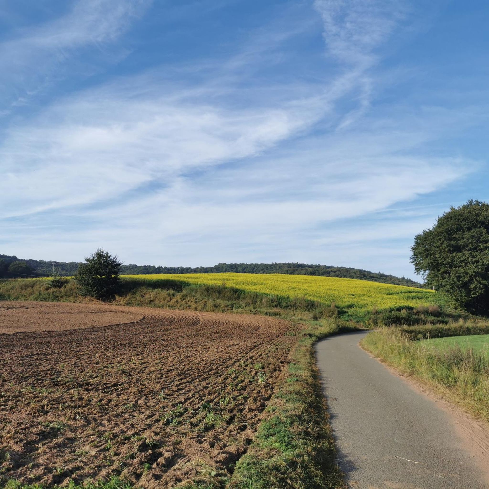
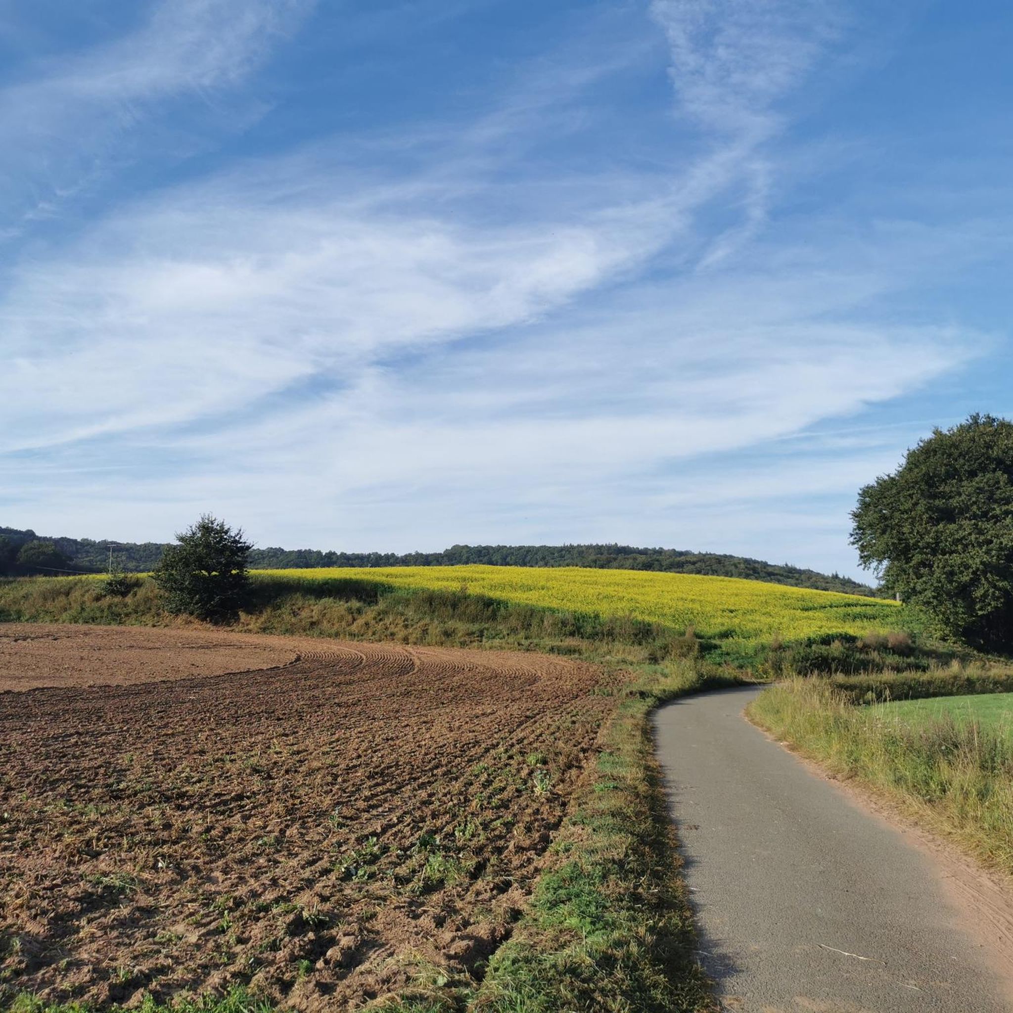
Whether this was a shortcut is debatable...most people are familiar with black Komoot trails. But it was definitely worth it!
1
0

The Krämerstein or Krämerfelsen is a great rock reef on the slope of the Kirchberg and the path along the rock is one of the most beautiful sections of the Burg Nanstein hiking trail.
0
0
The Fleischackerloch is a valley of rocky ruins in pristine nature with old trees. The natural monument got its name from the leasing of the fields and meadows in the valley in return for meat.
0
0

Did bears really once live here, as they say?
2
0

The entrance to the trail is somewhat hidden
0
0

Great rock formation with bunker remains
1
0
From here you have a great view of the base. The rock formation is also impressive
2
0
Frequently Asked Questions
How many running routes are available around Mittelbrunn?
Mittelbrunn offers a wide selection of running trails, with over 300 routes documented on komoot. These include 49 easy, 214 moderate, and 41 difficult options, ensuring there's a suitable path for every runner.
Are there easy or beginner-friendly jogging routes in Mittelbrunn?
Yes, Mittelbrunn has 49 easy running routes perfect for beginners or those looking for a relaxed jog. These trails typically feature gentler terrain and shorter distances, allowing you to enjoy the scenic surroundings without excessive challenge.
What kind of natural attractions can I discover along the running trails?
The running trails around Mittelbrunn lead through diverse landscapes featuring impressive natural attractions. You can explore the unique Elendsklamm gorge with its primeval forest feel and small cascades, or pass by the Bärenloch Pond. Many routes also traverse areas with other natural monuments and picturesque waterfalls.
Are there any historical landmarks to see while running in the area?
Absolutely! Mittelbrunn's region is rich in history. You can combine your run with a visit to the Krämerstein Rock Formation – Bismarck Tower, Landstuhl loop from Landstuhl, which offers views of historical structures like the Bismarck Tower. The ruins of Hohenecken Castle, dating back to the 12th century, also provide a fascinating backdrop for an invigorating run.
Are there circular running routes available in Mittelbrunn?
Yes, many of the running paths in Mittelbrunn are circular, offering convenient starting and ending points. A popular option is the Running loop from Landstuhl, which is 3.7 miles (5.9 km) long and takes about 36 minutes to complete, winding through varied landscapes.
What are the typical surface types for jogging trails in Mittelbrunn?
The jogging trails in Mittelbrunn offer a mix of surface types. You'll find paths that are well-developed with railings and steps, particularly in areas like the Elendsklamm. Many routes also feature forest paths, gravel sections, and natural terrain, providing a varied running experience.
Is Mittelbrunn a good place for family-friendly running or walking?
Mittelbrunn's diverse terrain includes many options suitable for families. The region's natural monuments and well-maintained paths make it enjoyable for all ages. Look for the 'easy' graded routes on komoot, which are generally shorter and have less elevation gain, perfect for a family outing.
Can I bring my dog on the running trails in Mittelbrunn?
Many trails in the Mittelbrunn area are dog-friendly, allowing you to enjoy your run with your canine companion. It's always recommended to keep your dog on a leash, especially in nature reserves or areas with wildlife, and to check local regulations for specific trails.
Where can I find parking for the running routes in Mittelbrunn?
Parking information for specific trailheads is often available on individual route pages on komoot. Many routes, especially those starting from towns like Landstuhl, will have designated parking areas nearby, making access convenient for runners.
How do other runners rate the trails in Mittelbrunn?
The running trails in Mittelbrunn are highly regarded by the komoot community, boasting an average rating of 4.4 stars from over 300 reviews. More than 3,800 runners have explored the area using komoot, often praising the diverse terrain, scenic views, and well-maintained paths.
Are there any routes that pass by lakes or water features?
Yes, several running routes in the Mittelbrunn area incorporate beautiful lakes and water features. For example, the Path to Bärenlochweiher – Bärenloch Natural Monument loop from Landstuhl leads through natural monuments and passes by the Bärenloch Pond, offering serene waterside views during your run.
What is a unique feature I might encounter on a run in Mittelbrunn?
A truly unique feature you might encounter is the old Glantalbahn Tunnel. This over 150-meter-long railway tunnel, more than a century old, offers a distinctive change of scenery along some local routes. While requiring caution, it's a memorable part of the region's trail network.
Most popular attractions around Mittelbrunn

Get inspired with the komoot mobile app


Explore more
Browse the best Running Trails & Routes in other regions.
