The best running trails around Matzenbach
4.5
(357)
5,105
runners
397
runs
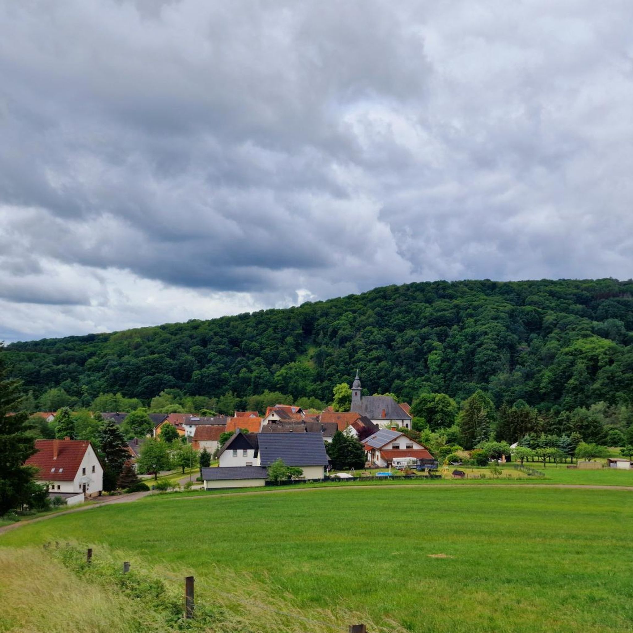
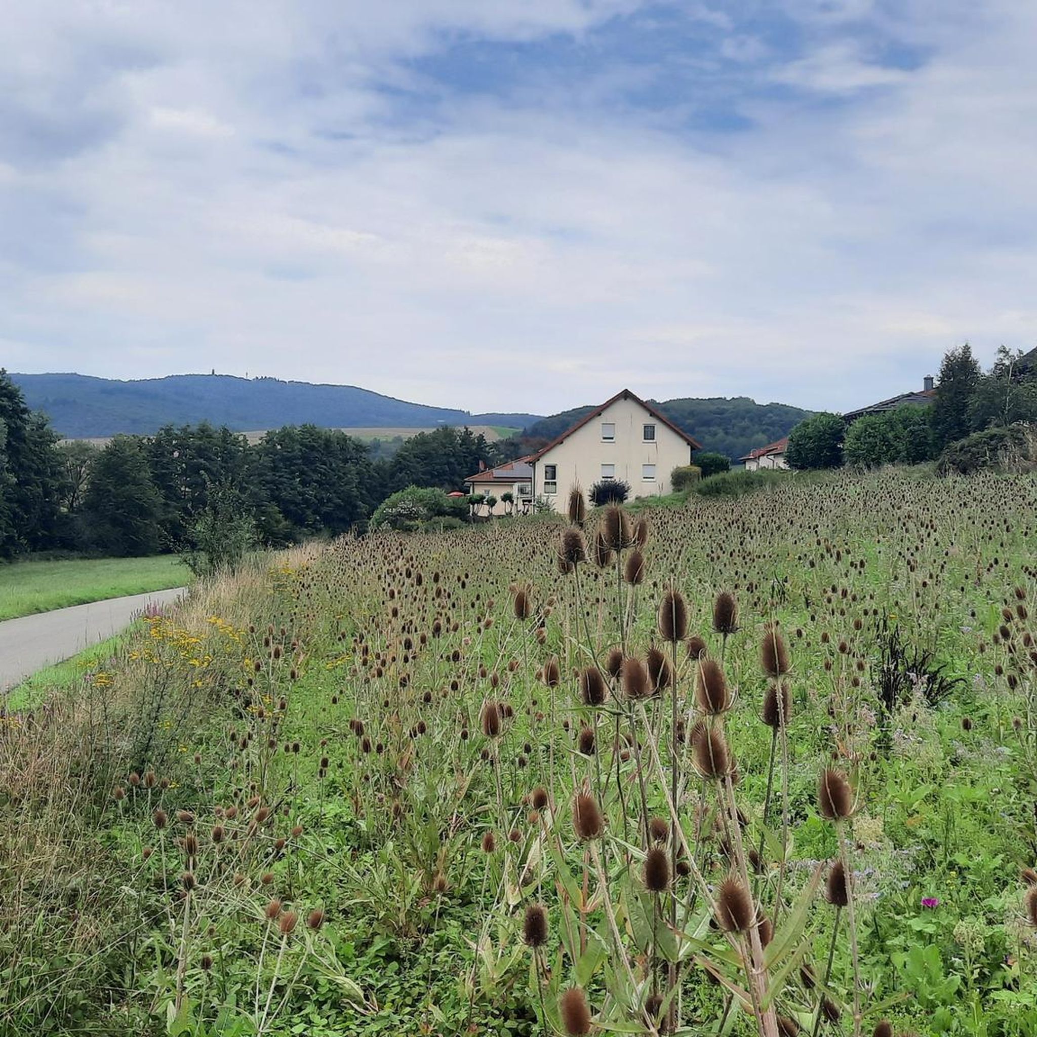
Jogging routes around Matzenbach traverse a diverse landscape in Rhineland-Palatinate, Germany. The region is characterized by the confluence of the Straubenbach and Glan River, with mountain slopes rising steeply from the Glan valley. Runners can find a mix of flatter riverine paths and more challenging uphill routes through woodlands and open fields. This varied topography provides a dynamic environment for outdoor activities.
Best jogging routes around Matzenbach
- The most popular jogging route is Colorful bike loop from Rehweiler, a…
Last updated: May 24, 2026
5.0
(2)
39
runners
Moderate run. Good fitness required. Mostly paved surfaces. Suitable for all skill levels.
5.0
(2)
10
runners
3.91km
00:24
30m
30m
Easy run. Great for any fitness level. Mostly paved surfaces. Suitable for all skill levels.

Sign up for free
5.0
(2)
10
runners
4.14km
00:26
30m
30m
Easy run. Great for any fitness level. Mostly paved surfaces. Suitable for all skill levels.
3.8
(4)
18
runners
Moderate run. Good fitness required. Mostly paved surfaces. Suitable for all skill levels.
5.0
(1)
6
runners
6.81km
00:52
310m
310m
Hard run. Very good fitness required. Mostly accessible paths. Some sure footedness required.
Get access to more routes and recommendations from other explorers.
Sign up for free
Already have an account?
Our route recommendations are based on thousands of hikes, rides, and runs completed by other people on komoot.
Start today with a free account
Your next adventure awaits.
Login or Signup

Tips from the Community

The Zickzack-Trail on the Potzberg (also called President's Trail or Snake Path) in the Westpfalz is a popular, moderately difficult mountain bike trail with several hairpin turns. It leads in snake-like windings up the 562-meter-high "King of the Westrich" and offers a pleasant gradient.
2
0
The Buchwaldhütte (approx. 90 places, PWV Theisbergstegen) is a popular, managed hut of the Pfälzerwald-Verein in Theisbergstegen. It is located at the foot of the Potzberg (near the Wild- & Greifvogelpark) and is an ideal starting point for hikes. The hut is reachable from the village in 20 minutes and offers space for hikers and families. Highlights and info: Location: Theisbergstegen, near the Potzberg ("King of the Westrich"). Facilities: Two dining rooms (approx. 60 + 30 places), outdoor seating. Hiking: Starting point for tours, e.g. family tour to the wildlife park. Operator: PWV local group Theisbergstegen-Godelhausen.
1
0
The Potzbergturm is a 35-meter-high sandstone tower on the 562-meter-high Potzberg near Föckelberg (Kusel district). It was built in 1951 (inauguration 13.07.1952), offers a wide view over the Palatinate Forest to the Vosges and is a popular destination. Next to the tower, there is a wildlife park, a falconry, and a hotel-restaurant. It is located on the summit of Potzberg, near Föckelberg (Westpfalz) and offers a panoramic view over Westpfalz, the Palatinate Forest, and up to the Hunsrück/Vosges. Opening hours: There are no specific, official closing times for the tower.
1
0
The Potzbergturm is a 35-meter-high sandstone tower on the 562-meter-high Potzberg near Föckelberg (Kusel district). It was built in 1951 (inauguration 13.07.1952), offers a wide view over the Palatinate Forest to the Vosges mountains and is a popular excursion destination. Next to the tower, there is a wildlife park, a falconry, and a hotel-restaurant. It is located on the summit of Potzberg, near Föckelberg (Westpfalz) and offers a panoramic view over Westpfalz, the Palatinate Forest, and up to the Hunsrück/Vosges. Opening hours: There are no specific, official closing times for the tower.
1
0

Great view over the Palatinate region!
0
0

The "Yellow Water" is the drainage tunnel of the Davidskrone mercury mine near Föckelberg, which was closed in 1860. It was founded in 1781 by Philipp Schildt and named after the carpenter David Kron. The yellow color of the water comes from the iron-rich ochre that is washed out of the rock.
3
0
The "Yellow Water" is the drainage tunnel of the Davidskrone mercury mine near Föckelberg, which was closed in 1860. It was founded in 1781 by Philipp Schildt and named after the carpenter David Kron. The yellow color of the water comes from the iron-rich ochre that is washed out of the rock.
3
1
The zigzag path on the Potzberg, also known as the Presidential or Snake Path, leads up the mountain in several switchbacks and offers a pleasant incline thanks to its serpentine route. The path owes its name to its characteristic course and the fact that high-ranking visitors, including presidents, used to take this route to the summit.
3
1
Frequently Asked Questions
How many running routes are available around Matzenbach?
There are over 340 running routes in the Matzenbach area, offering a wide variety of options for joggers of all levels. These include easy, moderate, and difficult trails.
What kind of terrain can I expect on jogging trails in Matzenbach?
The Matzenbach region offers a diverse landscape for running. You'll find a mix of flatter riverine paths along the Glan River, as well as more challenging uphill routes through open fields and alongside small streams. The area is characterized by rolling hills, river valleys, and forests, providing varied terrain for an engaging run.
Are there running routes suitable for beginners or those looking for an easy jog?
Yes, Matzenbach offers several easy running routes perfect for beginners or a relaxed jog. For instance, the Running loop from Godelhausen is an easy 4.1 km (2.5 miles) path with minimal elevation gain, ideal for a gentle run.
Are there any longer running routes, for example, around 10km, in Matzenbach?
Absolutely. For those seeking a longer run, the Colorful bike loop from Rehweiler is a popular choice, covering 12.4 km (7.7 miles). Another excellent option is the Running loop from Theisbergstegen, which is 10.3 km (6.4 miles) and takes you through varied terrain.
What interesting sights or natural features can I see while jogging near Matzenbach?
While running in Matzenbach, you can encounter several interesting features. The old Former Glantal Railway Route, including an illuminated tunnel, offers a unique experience. You might also pass by the Erdesbach Weir on the Glan or the Kranichwoog Nature Reserve. The region's topography also provides views of the prominent Potzberg mountain.
Are there any scenic viewpoints on the running trails around Matzenbach?
Yes, many trails offer rewarding vistas. Routes like the Glantalblick provide wonderful views across the upper Glan valley, Glan-Münchweiler, and towards the Remigiusberg with its Michelsburg. The 562-meter high Potzberg mountain is also visible from various trails, contributing to the scenic backdrop of your run.
What do other runners say about the jogging routes in Matzenbach?
The running routes in Matzenbach are highly rated by the komoot community, with an average score of 4.5 stars from over 280 reviews. More than 3,900 runners have used komoot to explore the area, often praising the varied terrain, picturesque landscapes, and the mix of riverine paths and challenging uphill sections.
Are there any circular running routes in Matzenbach?
Many of the running routes in Matzenbach are designed as loops, allowing you to start and finish at the same point. For example, the Running loop from Eisenbach-Matzenbach is a popular circular path, providing a compact running experience through the local surroundings.
Can I find routes that lead to or near Lake Ohmbach?
While not directly within Matzenbach, Lake Ohmbach is located nearby and is an excellent spot for recreation. It features a roughly 3-kilometer walk along its shore, which is perfect for a scenic run or a post-jog cool-down. You can find routes that connect to the lake area for an extended run.
Are there any challenging running routes with significant elevation gain?
For experienced runners seeking a challenge, Matzenbach offers routes with significant elevation gain. The Potzberg Tower – View from Potzberg loop from Theisbergstegen is a difficult 6.8 km (4.2 miles) route with over 300 meters of ascent, taking you up towards the Potzberg mountain for a demanding workout and rewarding views.
What is the best time of year to go jogging in Matzenbach?
Matzenbach offers a compelling environment for jogging throughout much of the year. Spring and autumn provide pleasant temperatures and beautiful scenery with blooming flora or vibrant fall colors. Even in warmer months, the diverse landscape with forested sections and river valleys can offer shaded paths. Always check local weather conditions before heading out.
Are there any historical sites visible from the running trails?
Yes, the region has some historical points of interest. You might come across the Celtic Burial Mounds (Hallstatt Period) or the Fünfeckstein Border Marker on some of the trails, offering a glimpse into the area's past while you run.
Most popular routes around Matzenbach
Most popular attractions around Matzenbach

Get inspired with the komoot mobile app


Explore more
Browse the best Running Trails & Routes in other regions.
