The best running trails around Kreimbach-Kaulbach
4.4
(192)
3,524
runners
246
runs
Jogging around Kreimbach-Kaulbach offers diverse natural landscapes and varied terrain for runners. The region features numerous natural monuments and significant elevation changes, including hills and the Königsberg, which rises to 568 meters. Paths often lead through forested areas and past historical sites, providing a mix of challenging ascents and more gentle sections. This environment supports a range of running experiences, from casual jogs to demanding trail runs.
Best jogging routes around Kreimbach-Kaulbach
- The most popular jogging route is Ruins of…
Last updated: May 24, 2026
5.0
(1)
48
runners
50.3km
06:10
1,500m
1,500m
Hard run. Very good fitness required. Mostly accessible paths. Some sure footedness required.
4.0
(11)
10
runners
9.30km
01:05
200m
200m
Moderate run. Good fitness required. Mostly paved surfaces. Suitable for all skill levels.

Sign up for free
10
runners
Hard run. Very good fitness required. Sure-footedness, sturdy shoes and alpine experience required.
9
runners
Moderate run. Good fitness required. Mostly paved surfaces. Suitable for all skill levels.
10
runners
10.8km
01:11
160m
160m
Moderate run. Good fitness required. Mostly paved surfaces. Suitable for all skill levels.
Get access to more routes and recommendations from other explorers.
Sign up for free
Already have an account?
Our route recommendations are based on thousands of hikes, rides, and runs completed by other people on komoot.
Start today with a free account
Your next adventure awaits.
Login or Signup
Tips from the Community

The Potzbergturm is a 35-meter-high sandstone tower on the 562-meter-high Potzberg near Föckelberg (Kusel district). It was built in 1951 (inauguration 13.07.1952), offers a wide view over the Palatinate Forest to the Vosges mountains and is a popular excursion destination. Next to the tower, there is a wildlife park, a falconry, and a hotel-restaurant (closed). It is located on the summit of Potzberg, near Föckelberg (Westpfalz) and offers a panoramic view over Westpfalz, the Palatinate Forest, and up to the Hunsrück/Vosges.
1
0
The Potzbergturm is a 35-meter-high sandstone tower on the 562-meter-high Potzberg near Föckelberg (Kusel district). It was built in 1951 (inauguration 13.07.1952), offers a wide view over the Palatinate Forest to the Vosges and is a popular destination. Next to the tower, there is a wildlife park, a falconry, and a hotel-restaurant. It is located on the summit of Potzberg, near Föckelberg (Westpfalz) and offers a panoramic view over Westpfalz, the Palatinate Forest, and up to the Hunsrück/Vosges. Opening hours: There are no specific, official closing times for the tower.
1
0
The Potzbergturm is a 35-meter-high sandstone tower on the 562-meter-high Potzberg near Föckelberg (Kusel district). It was built in 1951 (inauguration 13.07.1952), offers a wide view over the Palatinate Forest to the Vosges mountains and is a popular excursion destination. Next to the tower, there is a wildlife park, a falconry, and a hotel-restaurant. It is located on the summit of Potzberg, near Föckelberg (Westpfalz) and offers a panoramic view over Westpfalz, the Palatinate Forest, and up to the Hunsrück/Vosges. Opening hours: There are no specific, official closing times for the tower.
1
0

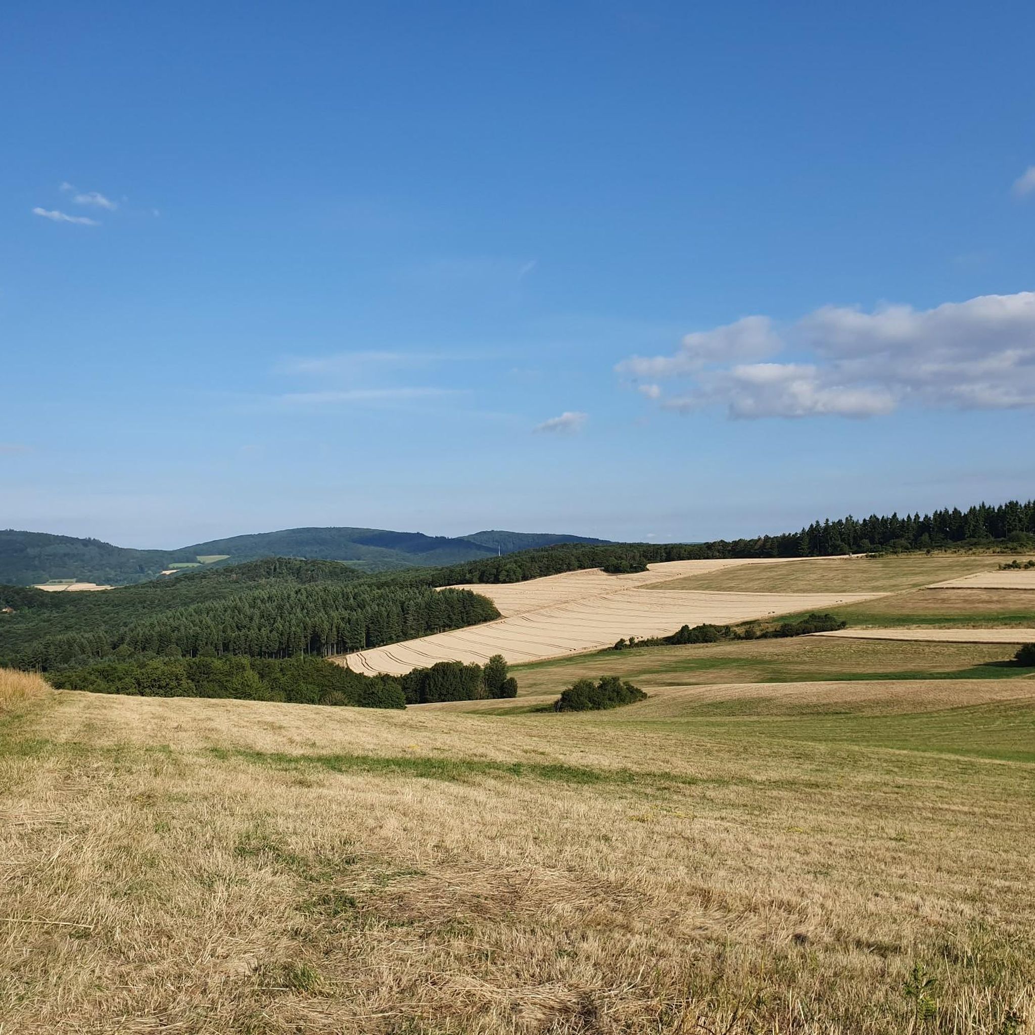
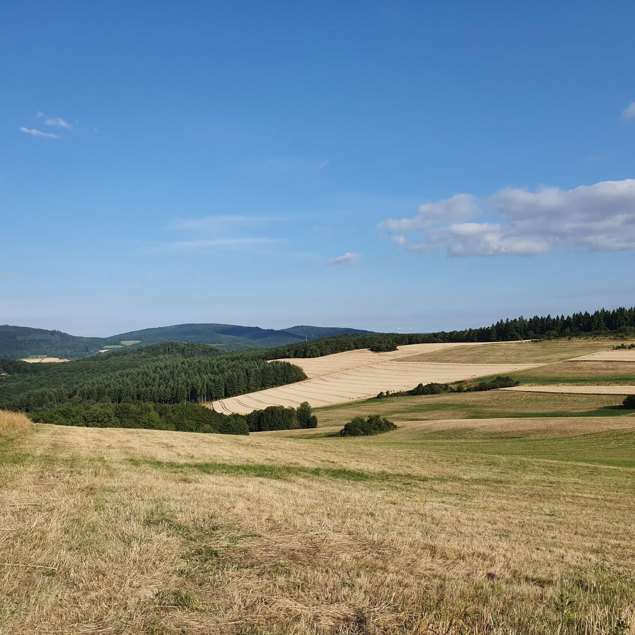
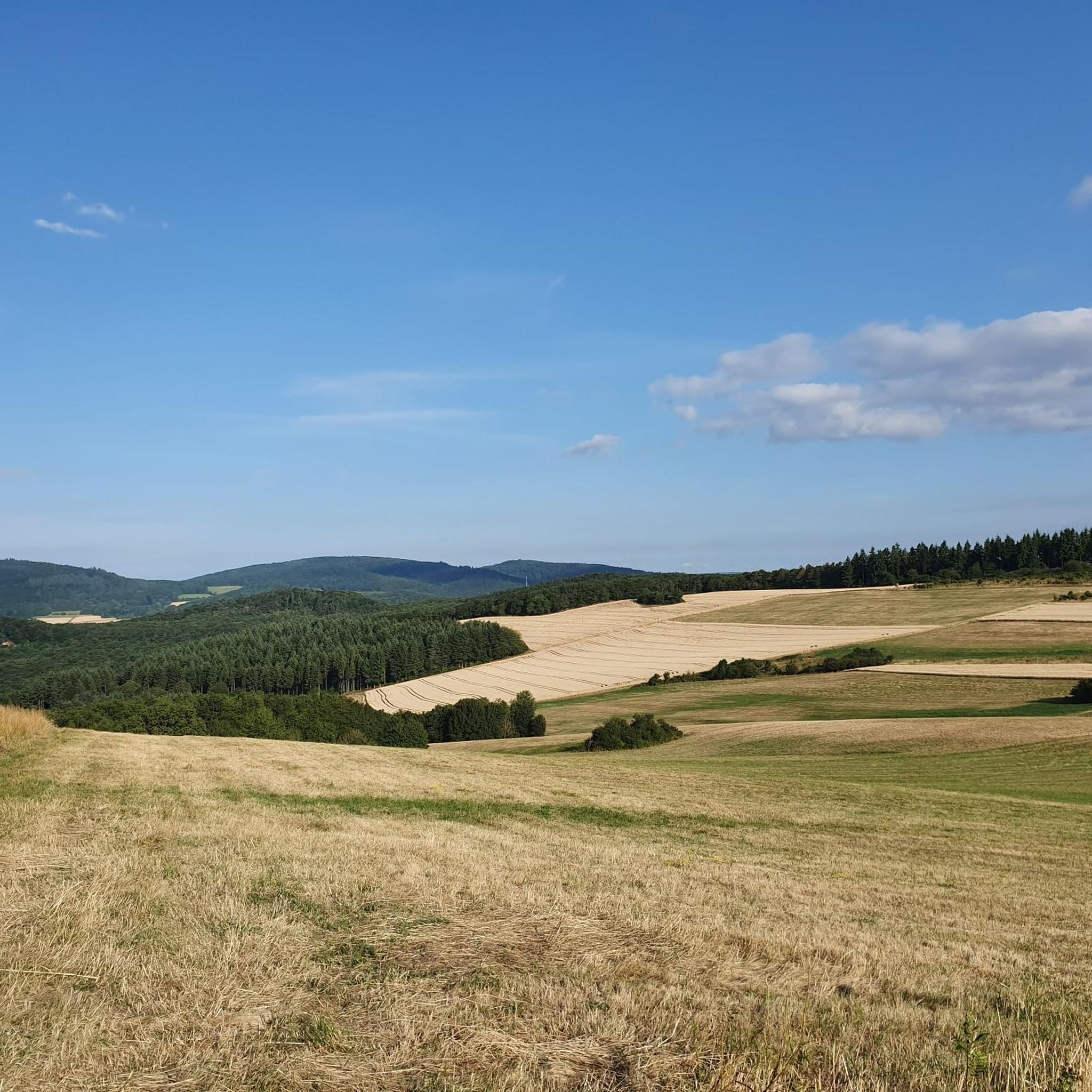
Great view over the Palatinate region!
0
0

The wolf fountain on the town hall square in Wolfstein pays homage to the town's name, which dates back to a historic noble line, the Lords of Wolfstein. The wolf in the fountain symbolizes the naming and, as a heraldic animal, represents the town's historical connection to this line, which named itself after the town in the late 13th century.
3
0

The path there was a bit difficult to find and is steep and because of the dryness the ground is quite loose
0
0

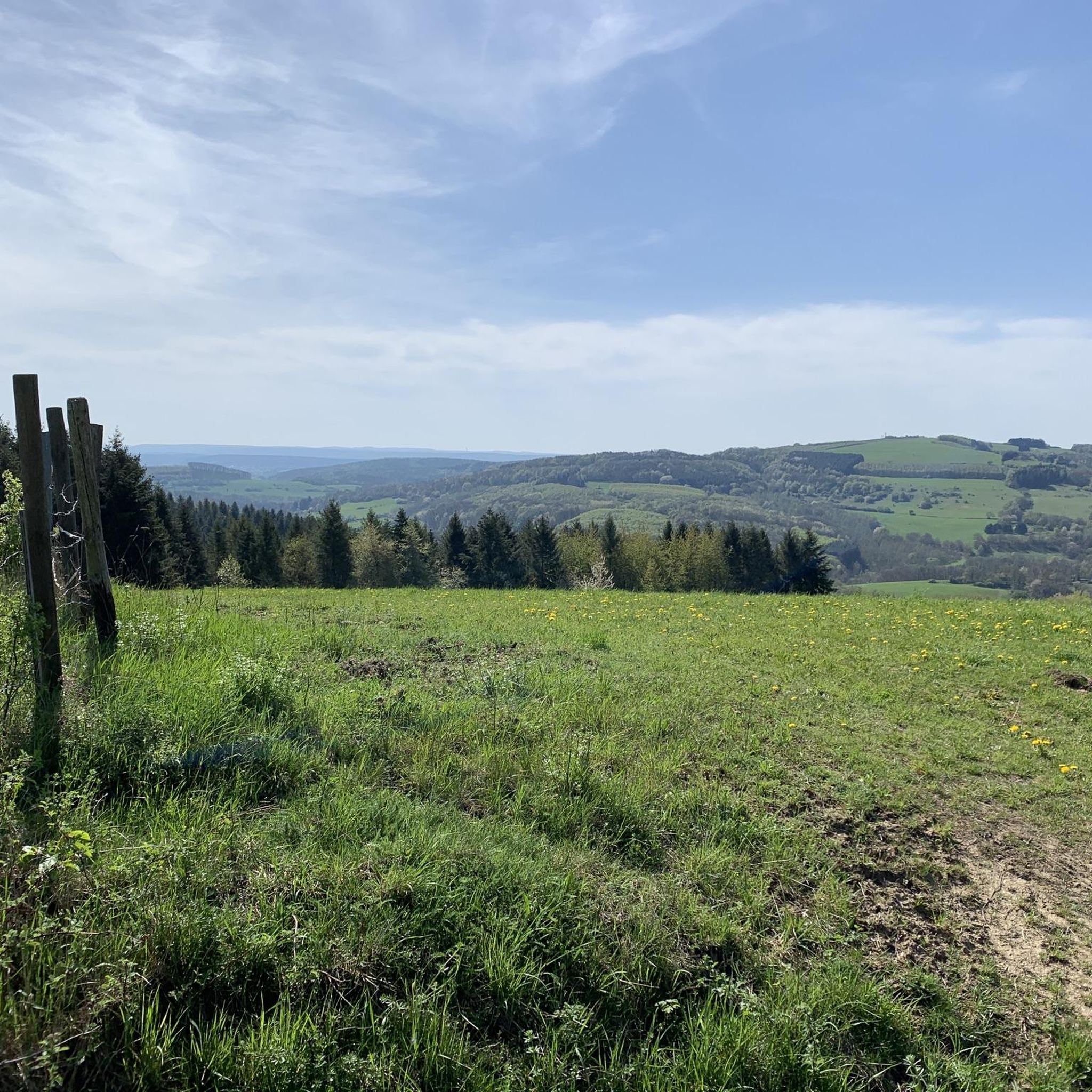
A very beautiful, narrow hiking trail. In some places, you have beautiful views.
0
0
Frequently Asked Questions
How many running routes are available around Kreimbach-Kaulbach?
There are over 250 running routes around Kreimbach-Kaulbach, offering a wide variety of options for different skill levels and preferences. You'll find everything from easy paths to challenging trail runs.
What kind of terrain can I expect on the jogging routes in Kreimbach-Kaulbach?
The terrain around Kreimbach-Kaulbach is quite varied, featuring forested hills, historical castle ruins, and natural monuments. You can expect a mix of challenging ascents, especially around the Königsberg, and more gentle sections suitable for casual jogging. The region's diverse landscape provides opportunities for both road running and trail running experiences.
Are there any family-friendly jogging routes in the area?
Yes, Kreimbach-Kaulbach offers routes suitable for families. While some trails involve significant elevation, there are also easier paths. For a moderate option, consider the Town Hall Square Wolfstein – Historic Old Town of Wolfstein loop from Wolfstein, which is 6.2 km long and takes about 41 minutes, offering a pleasant run through historical areas.
Can I find circular running routes in Kreimbach-Kaulbach?
Many of the running routes in Kreimbach-Kaulbach are circular, allowing you to start and end at the same point. An example is the moderate View of Essweiler loop from Eßweiler, which covers 9.3 km and offers scenic viewpoints.
What historical landmarks or natural features can I see while running?
The region is rich in both historical landmarks and natural features. You can run past the ruins of Neu-Wolfstein Castle, explore the Königsberg, or discover various natural monuments. The Keep of Alt-Wolfstein Castle – Ruins of Neu-Wolfstein Castle loop from Rothselberg is a challenging 21.1 km route that takes you through forested hills and past these significant historical sites. Additionally, the Reiserberg features a large sundial with a 360° view, and you might encounter interesting caves like the Erzenhausen Dripstone Cave or the Pfälzer Mut Mine Tunnel.
Are there any running routes with good viewpoints?
Yes, several routes offer excellent viewpoints. The View of Essweiler loop from Eßweiler is specifically highlighted for its scenic vistas. Another great option is the View from the Eulenkopf Tower – High meadow fountain loop from Kollweiler, a moderate 10.8 km run that provides rewarding views.
What is the best time of year for jogging in Kreimbach-Kaulbach?
Kreimbach-Kaulbach is suitable for jogging throughout much of the year. Spring and autumn offer pleasant temperatures and beautiful scenery, with changing foliage in the forested areas. Summer can be warm, but many routes lead through shaded woodlands. Winter jogging is also possible, though conditions may vary, especially on higher elevations like the Königsberg.
What do other runners enjoy most about jogging in Kreimbach-Kaulbach?
The running routes in Kreimbach-Kaulbach are highly rated by the komoot community, with an average score of 4.4 stars from over 150 reviews. Runners often praise the diverse natural landscapes, the varied terrain that keeps runs interesting, and the opportunity to combine physical activity with exploring historical sites and natural monuments.
Are there options for long-distance or challenging trail runs?
Absolutely. Kreimbach-Kaulbach is well-suited for challenging trail runs with significant elevation changes. The Ruins of Neu-Wolfstein Castle – Potzberg Tower loop from Wolfstein is a difficult 50.3 km trail with over 1500 meters of elevation gain, perfect for experienced runners seeking a demanding adventure.
Is public transport available to access the running trails?
While specific public transport connections directly to every trailhead are not detailed, the region is generally accessible. For routes starting in towns like Wolfstein or Eßweiler, local bus services might be available. It's advisable to check local transport schedules for the most up-to-date information when planning your run.
Are there parking facilities near the jogging routes?
Yes, for many popular running routes and starting points in towns like Wolfstein, you can typically find parking facilities. When planning your run, look for designated parking areas in villages or near trailheads, especially for routes that begin in more developed areas.
Are there any beginner-friendly jogging paths?
Yes, while the region is known for its varied terrain and some challenging climbs, there are also easier paths suitable for beginners. Routes with less elevation gain and shorter distances can be found, particularly in flatter sections of the valleys or around smaller towns. Look for routes marked as 'easy' or 'moderate' on komoot for suitable options.
Most popular routes around Kreimbach-Kaulbach
Most popular attractions around Kreimbach-Kaulbach

Get inspired with the komoot mobile app


Explore more
Browse the best Running Trails & Routes in other regions.
